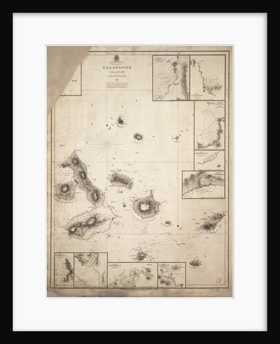
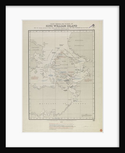
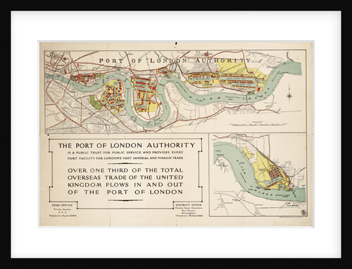
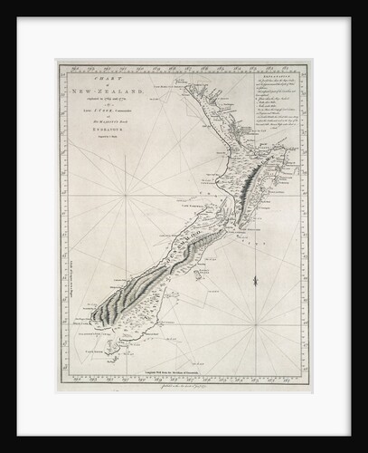
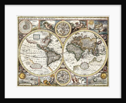
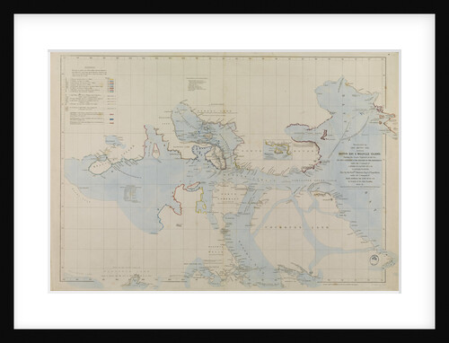
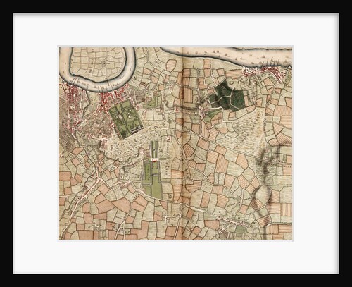
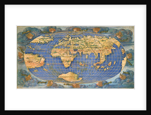
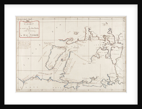
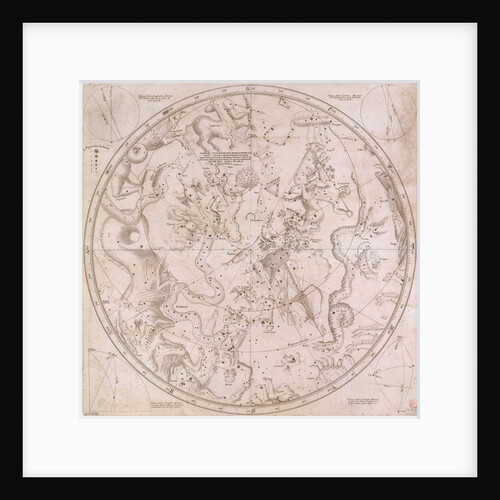
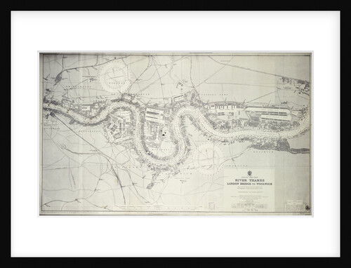
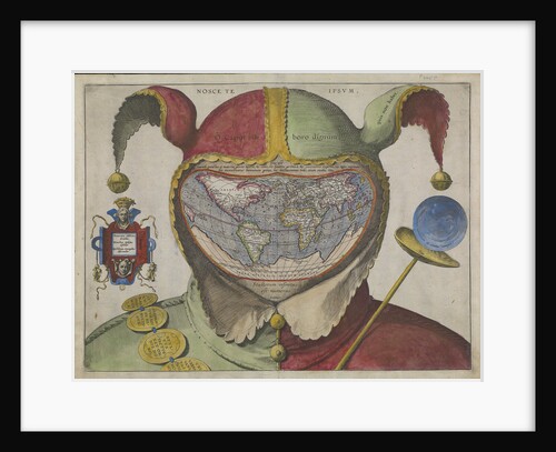
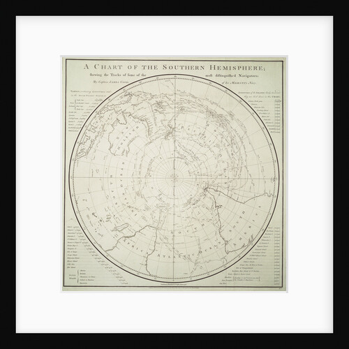
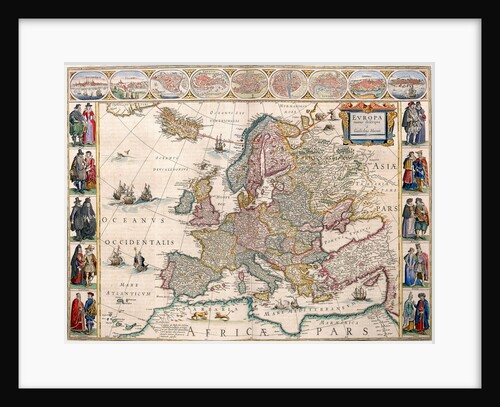
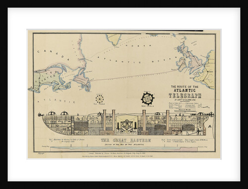
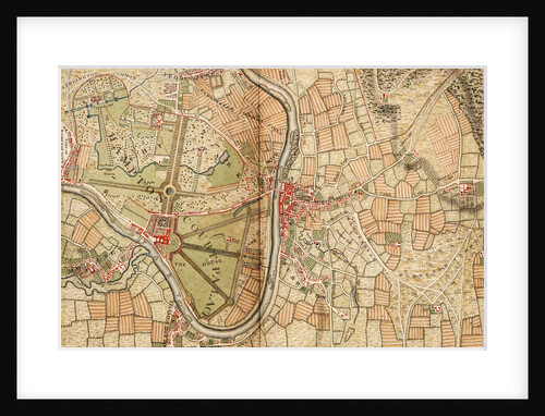
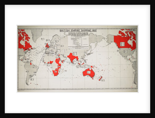
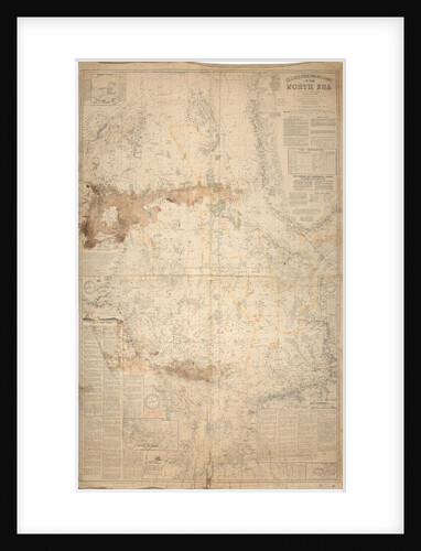
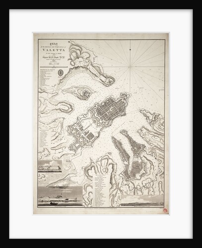
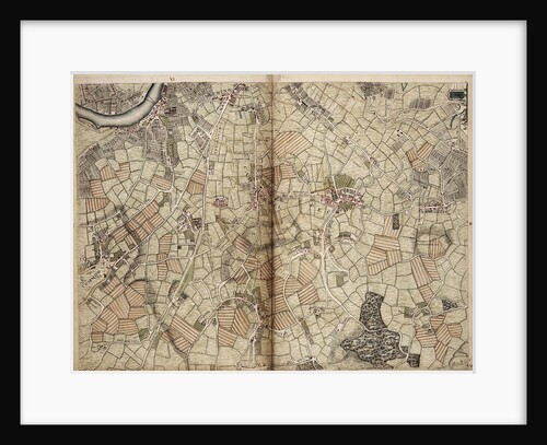
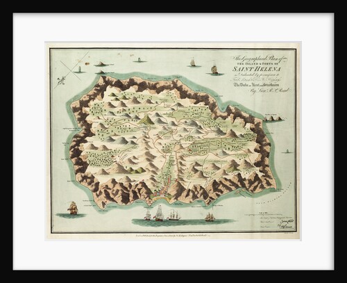
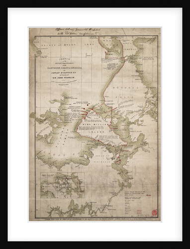
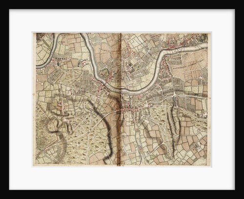
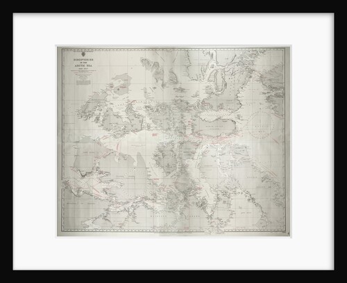
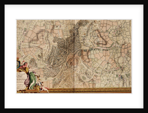
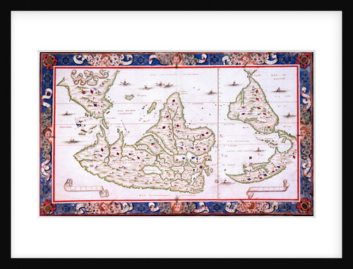
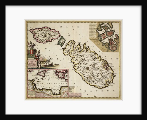
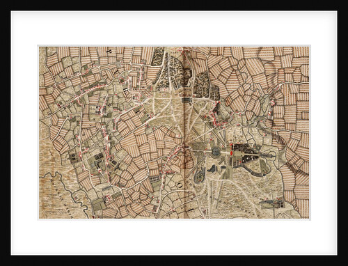
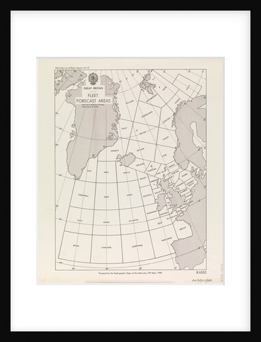
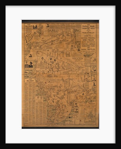
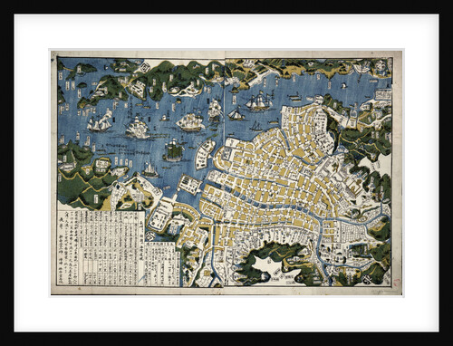
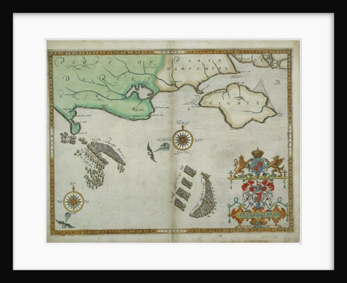
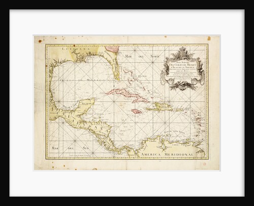
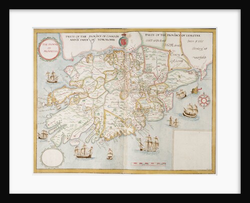
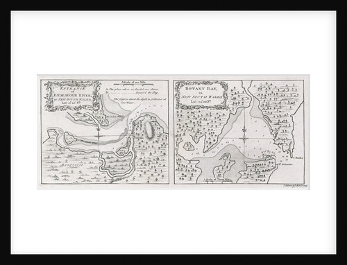
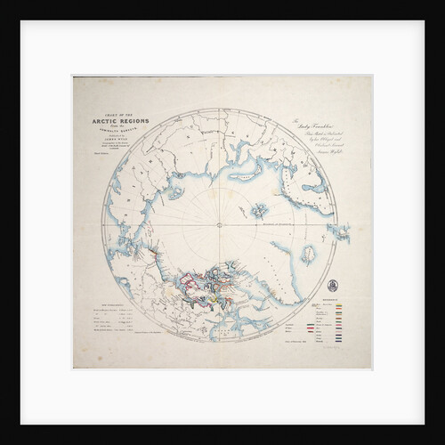
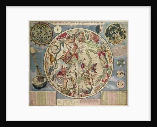
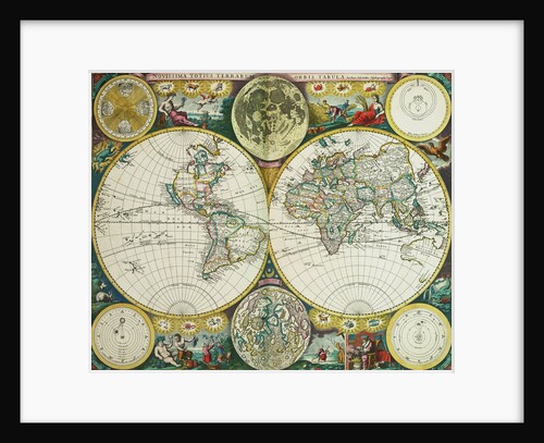
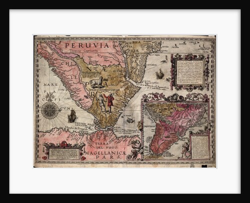
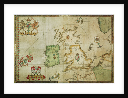
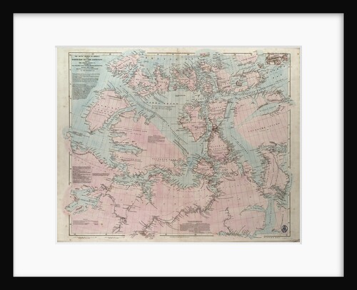
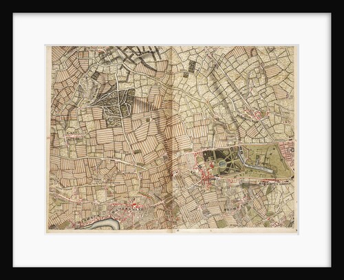
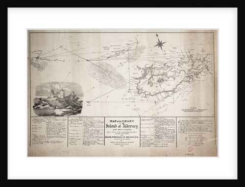
Maps & charts

Our collections contain more than 100,000 sea charts and maps dating from the medieval period to the present day. They document the results of exploration and discovery and show how techniques of navigation and surveying developed. Together they illustrate the work of the leading hydrographers and cartographers throughout the history of charting and mapmaking. Here we present a sample of our finest material.

611 images in Maps & charts
Map of Malta and Gozo by Unknown - print

Map of Malta and Gozo

Unknown
£Optional
Portrait of a naval officer by Unknown - print

Portrait of a naval officer

Unknown
£Optional
Map of Kingsale Harbour by F. Harris - print

Map of Kingsale Harbour

F. Harris
£Optional
Chart of Kinsale by John Mansell - print

Chart of Kinsale

John Mansell
£Optional

© 2013 Royal Museums Greenwich. All rights reserved.