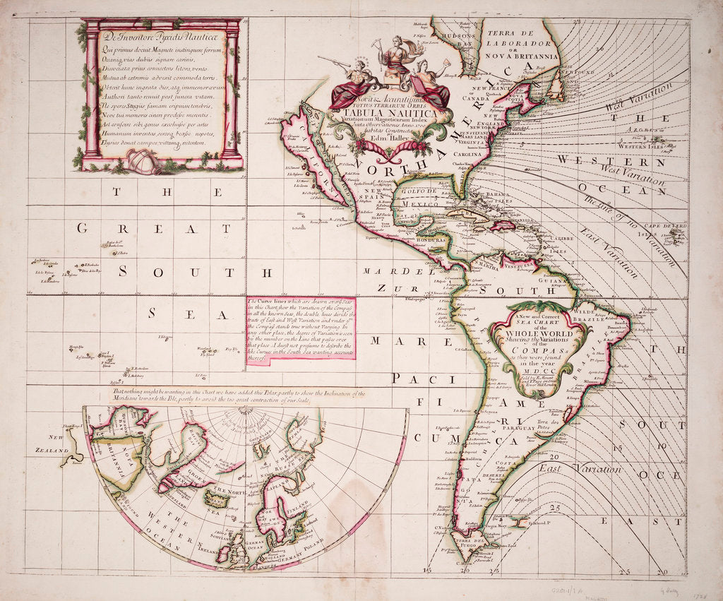
A new and correct sea chart of the whole world showing the variations of the compass as they were found in the year 1700
Image information
A new and correct sea chart of the whole world showing the variations of the compass as they were found in the year 1700
This chart shows the results of the first British state-sponsored expedition with a purely scientific purpose. Because the earth's magnetic field is not uniform and, as a result, the mariner's compass points either side of north to a variable degree depending on the ship's position. To make navigation safer, Halley made an extensive series of comparisons between compass readings and determinations of north by astronomical observation. He plotted isogonic lines, joining points of equal magnetic variation.
Edmond Halley
- Image reference: F1965
- National Maritime Museum, Greenwich, London
Discover more
More by this artist
Explore the collection
Search for similar images
Product images of A new and correct sea chart of the whole world showing the variations of the compass as they were found in the year 1700


Our prints
We use a 240gsm fine art paper and premium branded inks to create the perfect reproduction.
Our expertise and use of high-quality materials means that our print colours are independently verified to last between 100 and 200 years.
Read more about our fine art prints.
Manufactured in the UK
All products are printed in the UK, using the latest digital presses and a giclée printmaking process.
We only use premium branded inks, and colours are independently verified to last between 100 and 200 years.
Delivery & returns
We print everything to order so delivery times may vary but all unframed prints are despatched within 2-4 days via courier or recorded mail.
Due to the coronovirus pandemic and Brexit situation, current shipping times may be longer, particularly for destinations outside the UK.
Delivery to the UK is £5 for an unframed print of any size.
We will happily replace your order if everything isn’t 100% perfect.


