Skip to main content
10% off your first order
☰ Menu
Basket icon
Wishlist icon
Account icon
Search icon
Search icon
Inspiration
Collections
Astrophotography
Battles and wars at sea
Children's
Exploration
Graphic designs
Greenwich
Historic figures
Historic vessels
Maps and charts
Photography
Pirates
Seascapes
Time and space
Natural history
World travel
Ship plans
Gift cards
Contact
Contact us
Newsletter
Search art & photography
Search icon
Admiralty
page 2
Showing 49 to 96 of 1000
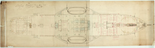
Upper deck as troopship plan for 'Birkenhead'
Admiralty
Main deck plan for 'Birkenhead'
Admiralty
Sketch of sails for 'Birkenhead'
Admiralty
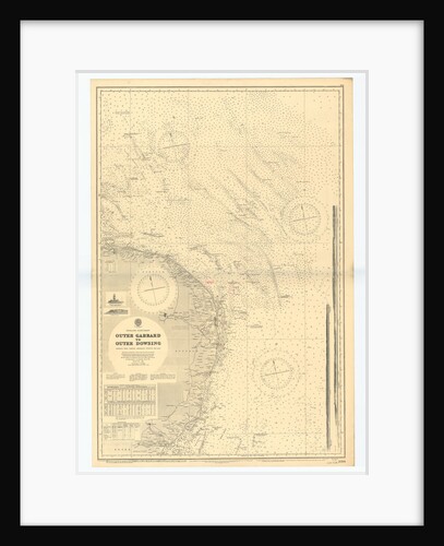
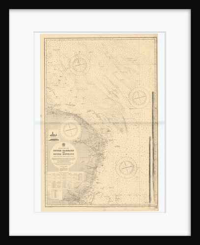
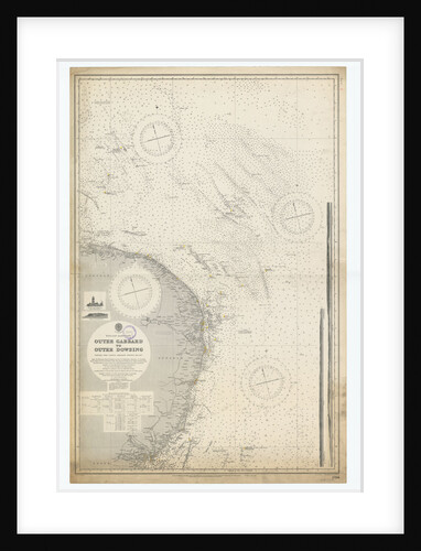
England-East Coast. Outer Gabbard to Outer Dowsing
British Admiralty
Lower deck as troopship plan for 'Birkenhead'
Admiralty
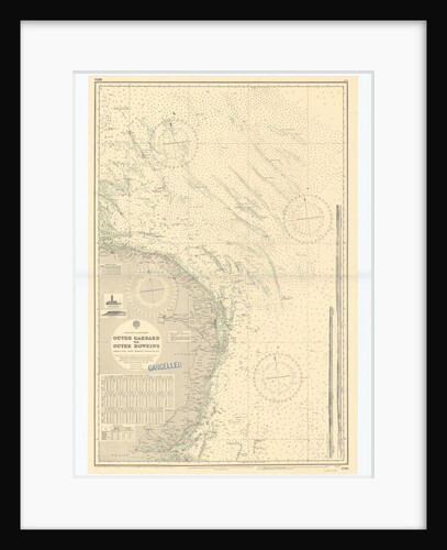
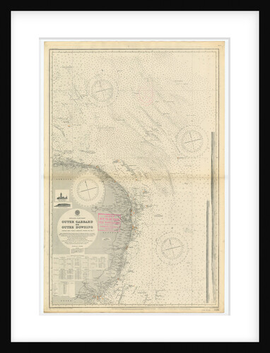
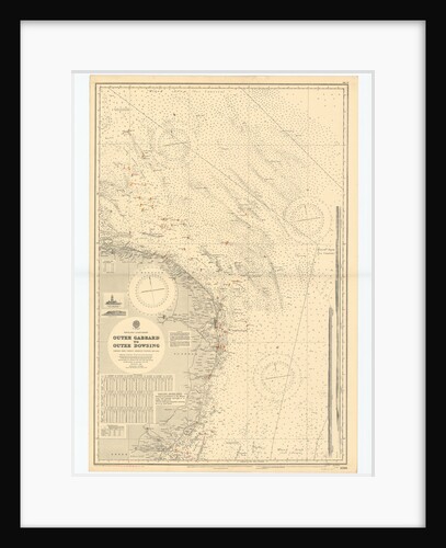
England-East Coast. Outer Gabbard to Outer Dowsing
British Admiralty
England East Coast
British Admiralty
Forecastle plan for 'Birkenhead'
Admiralty
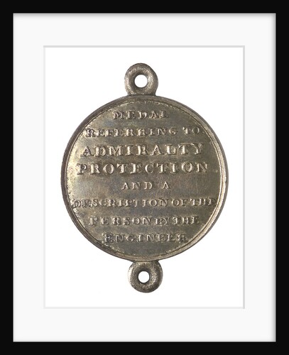
Admiralty protection medal; reverse
unknown
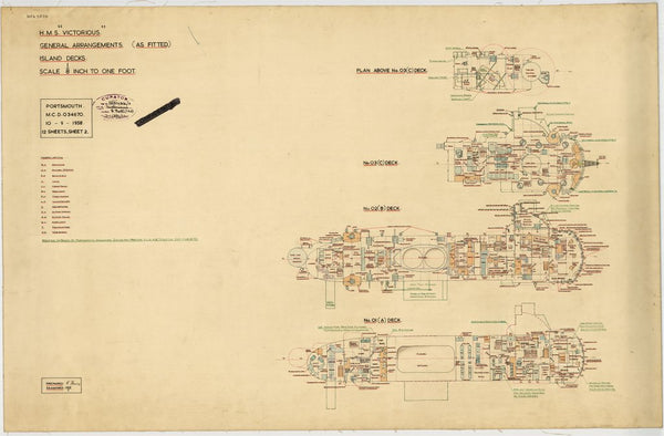
HMS 'Victorious' (1939) - General arrangements (as fitted)
Admiralty D.N.C. Department
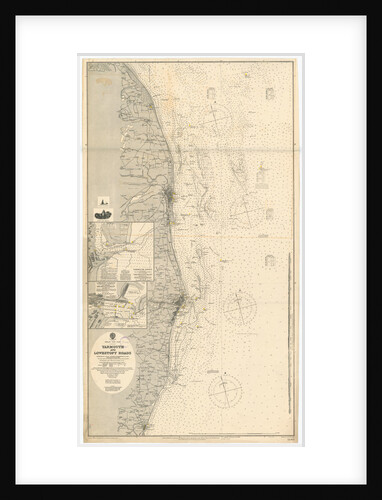
Yarmouth and Lowestoft
British Admiralty
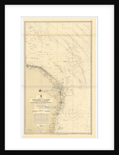
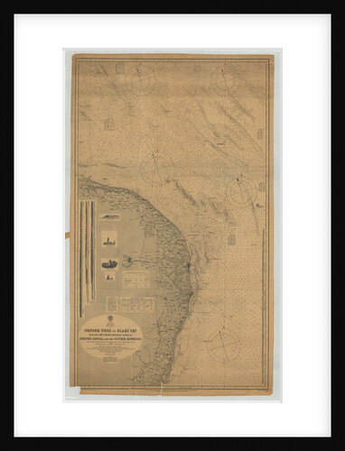
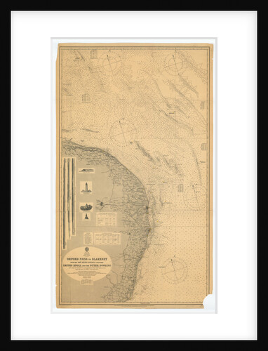
England East coast Orfordness to Blakeney with the off lying shoals between Smith's Knoll and the Outer Dowsing
British Admiralty
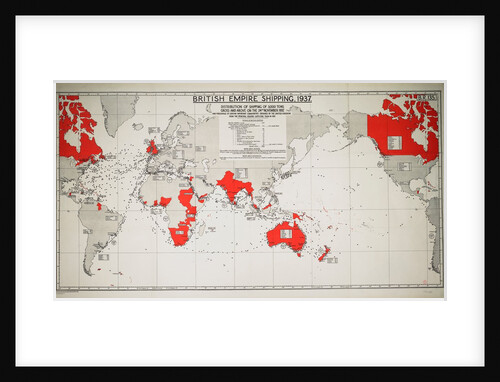
British Empire shipping 1937: distribution of shipping of 3,000 tons gross and above on 24 November 1937
Admiralty
England-East Coast. Outer Gabbard to Outer Dowsing
British Admiralty
Hold plan for 'Birkenhead'
Admiralty
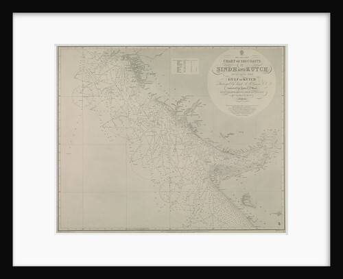
Chart of Sindh and Kutch coasts
British Admiralty
England-East Coast. Outer Gabbard to Outer Dowsing
British Admiralty
Proposed 56ft steam pinnace (1895) (Copy)
British Admiralty
HMS 'Victorious' (1939)
Admiralty D.N.C. Department
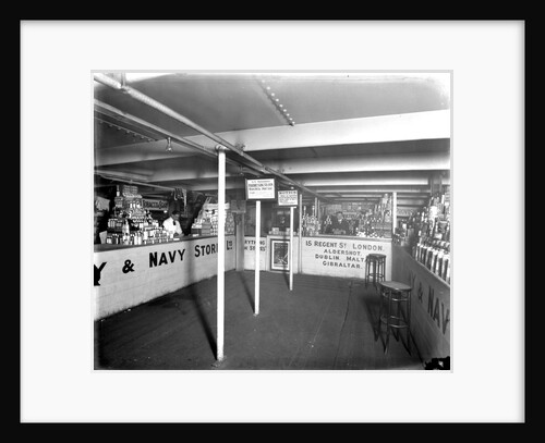
Junior Army and Navy Stores Ltd shop on the 'Borodino' (1911)
Bedford Lemere & Co.
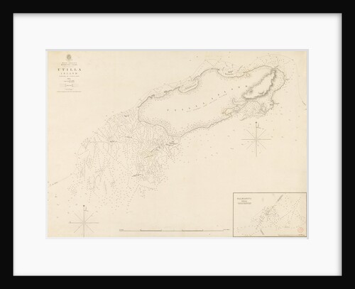
West Indies Mosquito Coast Utilla Island surveyed by Commander R. Owen 1835
British Admiralty
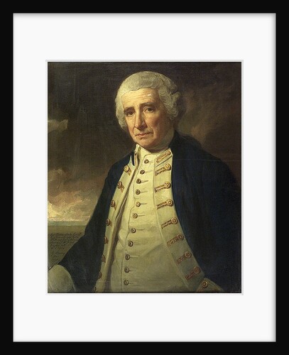
Admiral John Forbes (1714-1796)
George Romney
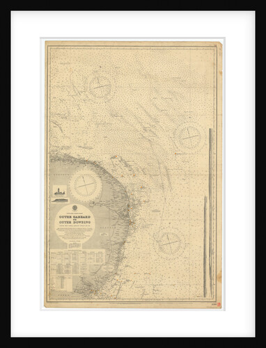
England East Coast: Outer Gabbard to Outer Dowsing
British Admiralty
Proposed 56ft steam pinnace (1895)
British Admiralty
England-East Coast. Outer Gabbard to Outer Dowsing
British Admiralty
Lower deck plan for 'Birkenhead'
Admiralty
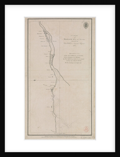
A chart of Broach Bar and river surveyed by Lieut WIlliam Augustus Skynner 1773
British Admiralty
Hold plan for 'Birkenhead'
Admiralty
Lower deck plan for 'Birkenhead'
Admiralty
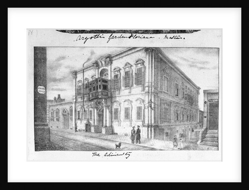
The Admiralty, Malta
unknown
England-East Coast. Outer Gabbard to Outer Dowsing
British Admiralty
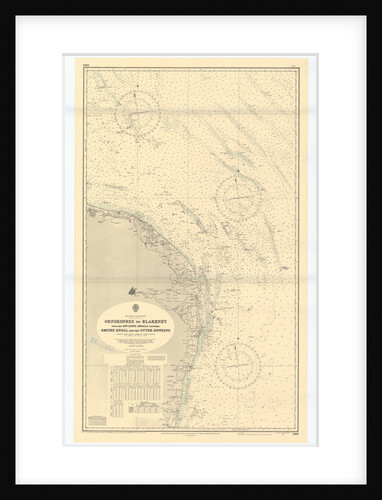
Orford Ness to Blakeney with the off lying shoals between Smiths Knoll and the other Dowsing
British Admiralty
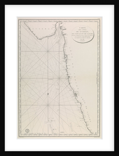
Map of the Gujarat coast
French Admiralty
Orford Ness to Blakeney with the off lying shoals between Smiths Knoll and the other Dowsing
British Admiralty
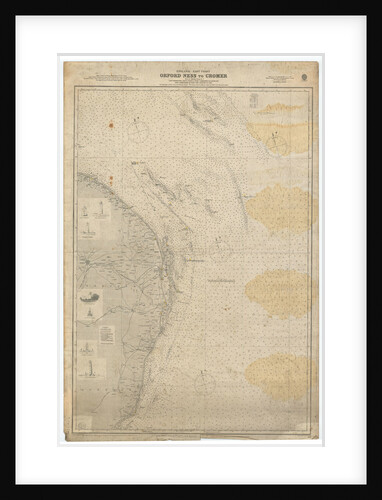
England East Coast: Orford Ness to Crome
British Admiralty
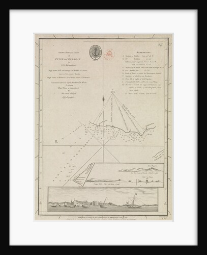
Chart of part of the coasts of Cutch and Guzarat by J G Richardson... communicated by Capt Archibald Blair to...
British Admiralty
Butterfield dial
Admiralty Research Establishment
Sheer lines plan for the Iron Duke class battleship, specifically sent to Beardmore for building Benbow (1913)
Admiralty
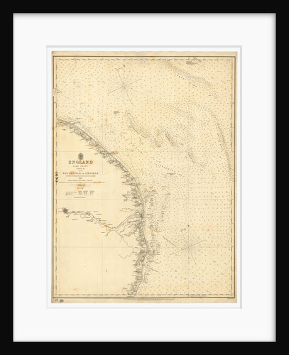
England East Coast: Southwolds to Cromer
British Admiralty
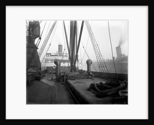
Deck view on the 'Borodino' (1911)
Bedford Lemere & Co.
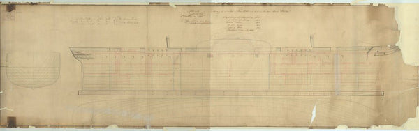
Sheer plan for 'Birkenhead'
Admiralty
Engines and boilers as constructed for 'Vulcan'
Admiralty
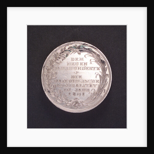
Medal commemorating the Hamburg Admiralty; reverse
Unknown
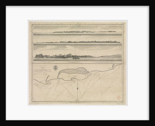
Plan of Diu Island by John McCluer 1788
British Admiralty
Poop deck plan for 'Birkenhead'
Admiralty
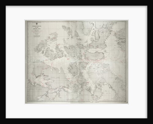
Discoveries in the Arctic Sea 1616-1927 Reproduction of former Admiralty chart no. 2118 published 1855, with corrections to 1927. Additional...
HM Admiralty
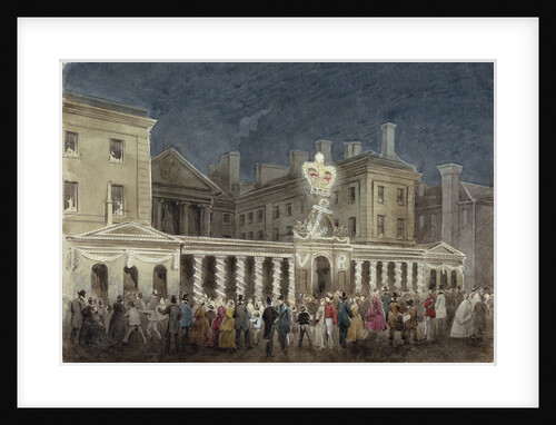
The Illumination at the Admiralty to celebrate the peace after the Crimean War
unknown
Profile plan of HMS Weymouth (1910)
Armstrong
« Previous
1
2
3
4
…
21
Next »
Recently viewed
Clear history