Skip to main content
10% off your first order
☰ Menu
Basket icon
Wishlist icon
Account icon
Search icon
Search icon
Inspiration
Collections
Astrophotography
Battles and wars at sea
Children's
Exploration
Graphic designs
Greenwich
Historic figures
Historic vessels
Maps and charts
Photography
Pirates
Seascapes
Time and space
Natural history
World travel
Ship plans
Gift cards
Contact
Contact us
Newsletter
Search art & photography
Search icon
Admiralty
page 2
Showing 49 to 96 of 1000
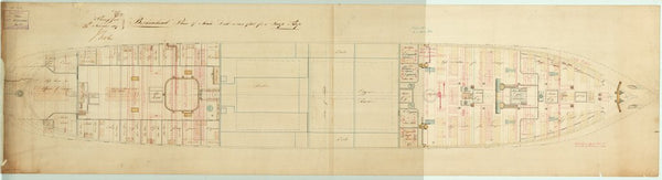
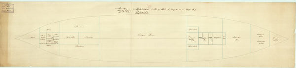
Main deck as troopship plan for 'Birkenhead'
Admiralty
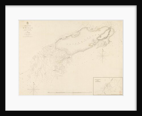
West Indies Mosquito Coast Utilla Island surveyed by Commander R. Owen 1835
British Admiralty
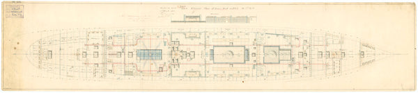
Main deck plan for 'Birkenhead'
Admiralty
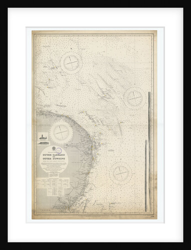
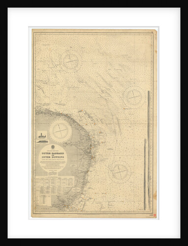
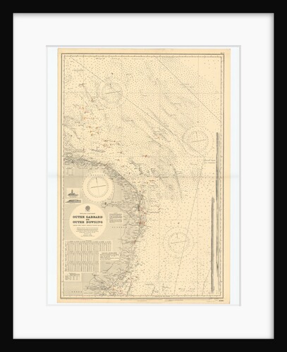
England-East Coast. Outer Gabbard to Outer Dowsing
British Admiralty
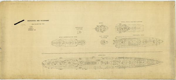
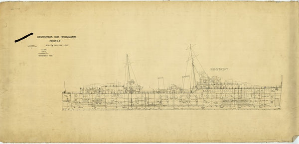
Upper deck and superstructure plan for Tribal-class Destroyer Programme of 1935
HM Admiralty
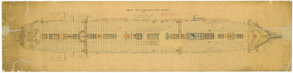
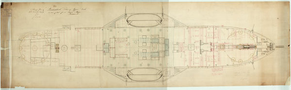
Upper deck plan for 'Birkenhead'
Admiralty
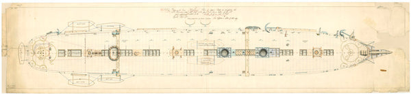
Main deck plan for 'Birkenhead'
Admiralty
Hold as troopship plan for 'Birkenhead'
Admiralty
England East Coast: Outer Gabbard to Outer Dowsing
British Admiralty
Main deck plan for 'Birkenhead'
Admiralty
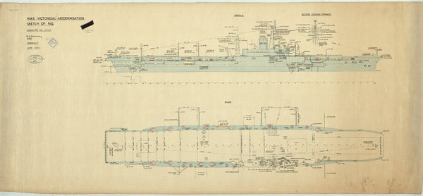
Sketch of rig plan for HMS 'Victorious' proposed reconstruction
Admiralty D.N.C. Department
Forecastle plan for 'Birkenhead'
Admiralty
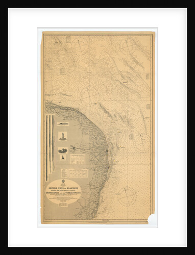
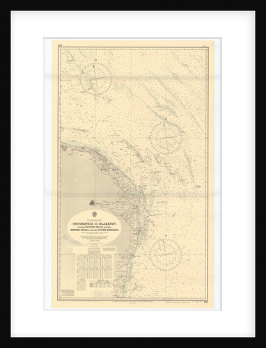
Orford Ness to Blakeney with the off lying shoals between Smiths Knoll and the other Dowsing
British Admiralty
Inboard Profile plan for Tribal-class Destroyer Programme of 1935
HM Admiralty
Front of signal book for the ships of war, showing Nelson's signature
Admiralty
Proposed after end profile for the Tribal-class Destroyer Programme of 1935
HM Admiralty
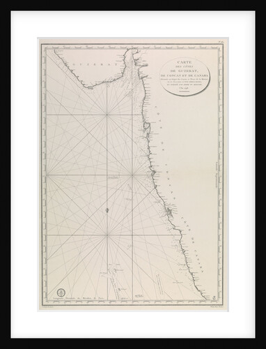
Map of the Gujarat coast
French Admiralty
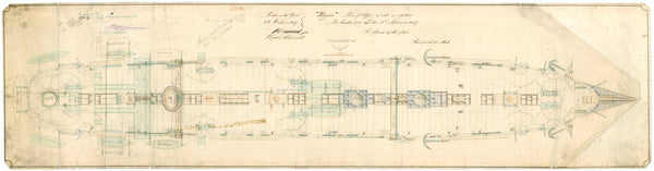
Admiralty plan showing the main deck of the broadside ironclad 'Warrior' (1860)
Unknown
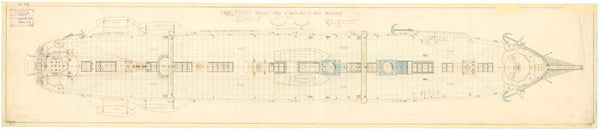
Upper deck plan for 'Birkenhead'
Admiralty
England-East Coast. Outer Gabbard to Outer Dowsing
British Admiralty
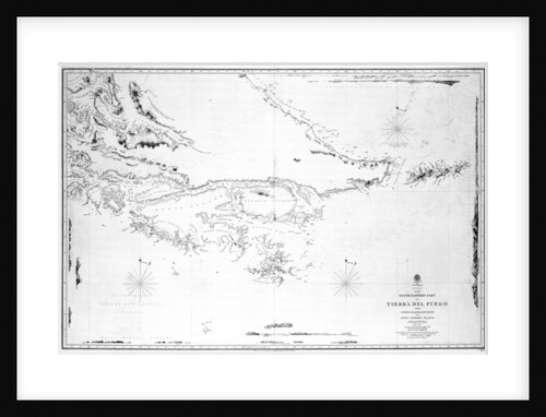
South America the south-eastern part of Tierra del Fuego with Staten Island, Cape Horn and Diego Ramirez Islands
British Admiralty
Admiralty plan showing the upper deck of the broadside ironclad 'Warrior' (1860)
Unknown
Orford Ness to Blakeney with the off lying shoals between Smiths Knoll and the other Dowsing
British Admiralty
Admiralty plan showing the upper deck of the broadside ironclad 'Warrior' (1860)
Unknown
Admiralty plan showing the upper deck of the broadside ironclad 'Warrior' (1860)
Unknown
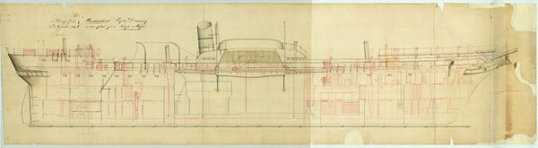
Inboard profile as troopship plan for 'Birkenhead'
Admiralty
Hold plan for 'Birkenhead'
Admiralty
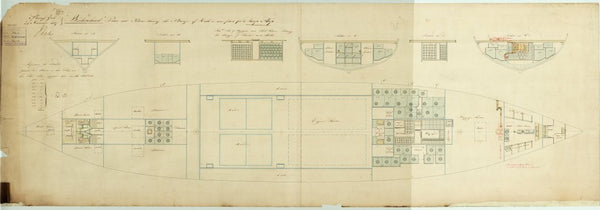
Lower deck as troopship plan for 'Birkenhead'
Admiralty
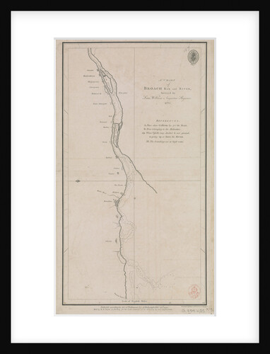
A chart of Broach Bar and river surveyed by Lieut WIlliam Augustus Skynner 1773
British Admiralty
Proposed 56ft steam pinnace (1895)
British Admiralty
Upper deck as troopship plan for 'Birkenhead'
Admiralty
Sections as troopship plan for 'Birkenhead'
Admiralty
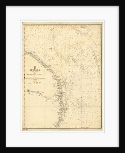
England East Coast: Southwolds to Cromer
British Admiralty
Lower deck plan for 'Birkenhead'
Admiralty
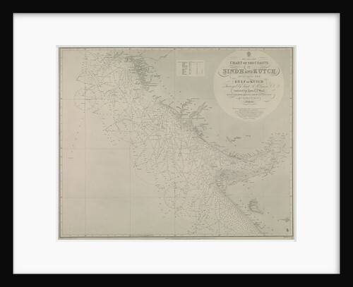
Chart of Sindh and Kutch coasts
British Admiralty
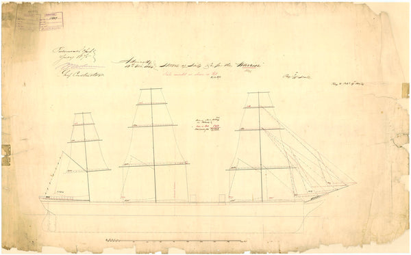
Admiralty plan showing the sail arrangement of the broadside ironclad 'Warrior' (1860)
Unknown
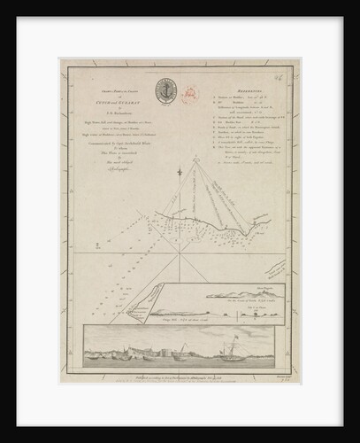
Chart of part of the coasts of Cutch and Guzarat by J G Richardson... communicated by Capt Archibald Blair to...
British Admiralty
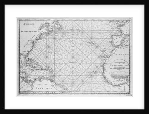
Printed chart of the North Atlantic Ocean by French Admiralty
Depot De La Marine
Lower deck plan for 'Birkenhead'
Admiralty
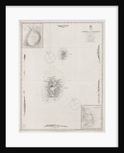
Azores Corvo and Flores. Surveyed by Capt. A.T.E Vidal R.N 1844.
British Admiralty
Admiralty plan showing the upper deck of the broadside ironclad 'Warrior' (1860)
Unknown
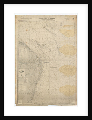
England East Coast: Orford Ness to Crome
British Admiralty
Proposed 56ft steam pinnace (1895) (Copy)
British Admiralty
Hold plan for 'Birkenhead'
Admiralty
Admiralty plan showing the lower deck of the broadside ironclad 'Warrior' (1860)
Unknown
Butterfield dial
Admiralty Research Establishment
Engines and boilers as constructed for 'Vulcan'
Admiralty
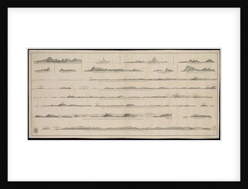
Views of Gujarat coast (lie of the land)
British Admiralty
« Previous
1
2
3
4
…
21
Next »
Recently viewed
Clear history