Skip to main content
10% off your first order
☰ Menu
Basket icon
Wishlist icon
Account icon
Search icon
Search icon
Inspiration
Collections
Astrophotography
Battles and wars at sea
Children's
Exploration
Graphic designs
Greenwich
Historic figures
Historic vessels
Maps and charts
Photography
Pirates
Seascapes
Time and space
Natural history
World travel
Ship plans
Gift cards
Contact
Contact us
Newsletter
Search art & photography
Search icon
G201:1/5 prints
Showing 1 to 8 of 8
Search these images +
Search G201:1/5 images
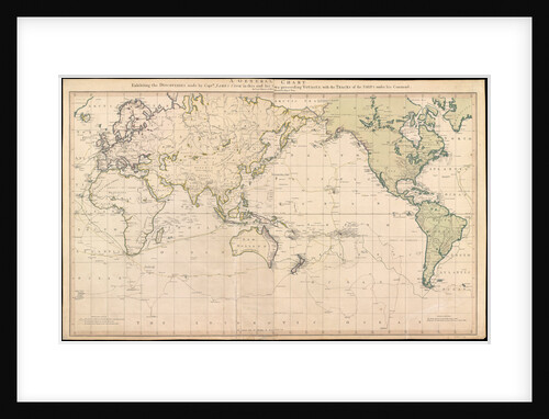
A general chart exhibiting the discoveries made by Captain James Cook in this and his two preceeding voyages with the...
Lieutenant Henry Roberts; William Faden
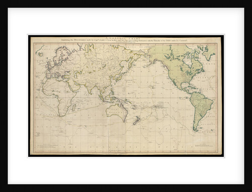
A general chart exhibiting the discoveries made by Captain James Cook in this and his two preceding voyages with the...
Lieutenant Henry Roberts
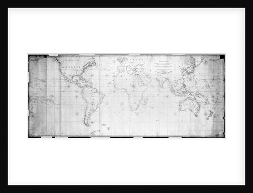
Outline chart intended for officers to prick off a ship's track
J. W. Norie
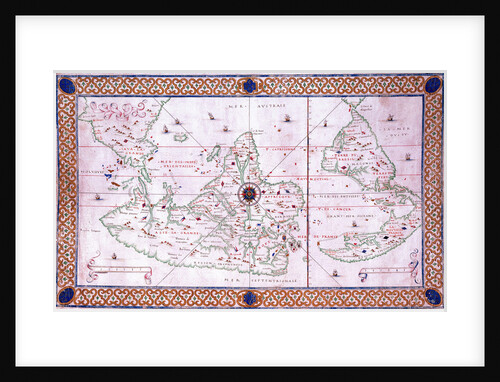
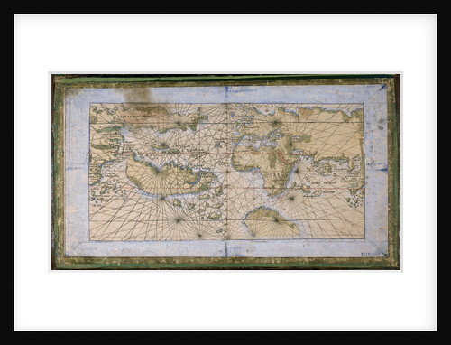
World chart by Pierre Hamon, 1568
Pierre Hamon
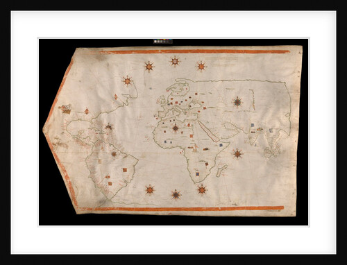
World map on vellum
Brother of Giovanni Verrazano
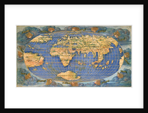
World planisphere
Francesco Rosselli
Planisphere world map by Francesco Rosselli, around 1508
Francesco Rosselli
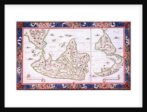
World map, 1567
Nicholas des Liens
Recently viewed
Clear history