Skip to main content
10% off your first order
☰ Menu
Basket icon
Wishlist icon
Account icon
Search icon
Search icon
Inspiration
Collections
Astrophotography
Battles and wars at sea
Children's
Exploration
Graphic designs
Greenwich
Historic figures
Historic vessels
Maps and charts
Photography
Pirates
Seascapes
Time and space
Natural history
World travel
Ship plans
Gift cards
Contact
Contact us
Newsletter
Search art & photography
Search icon
G213:2/4 prints
Showing 1 to 5 of 5
Search these images +
Search G213:2/4 images
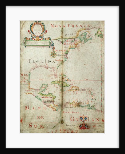
Chart of the western Atlantic, 1678
Joel Gascoyne
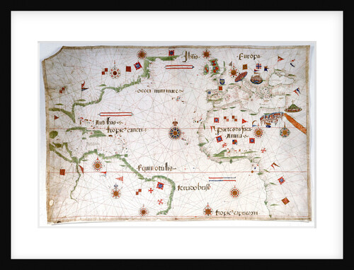
Portulan chart of the Atlantic
Pedro Reinel
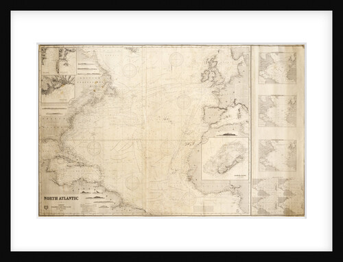
Chart of the North Atlantic Ocean
James Imray & Son; James Imray
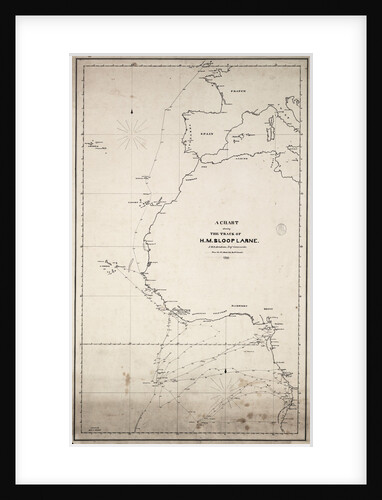
A chart showing the track of HM sloop 'Larne', J.W.D.Brisbane, Esq. Commander, from the 1 January 1846 to 27 June...
J.W.D. Brisbane
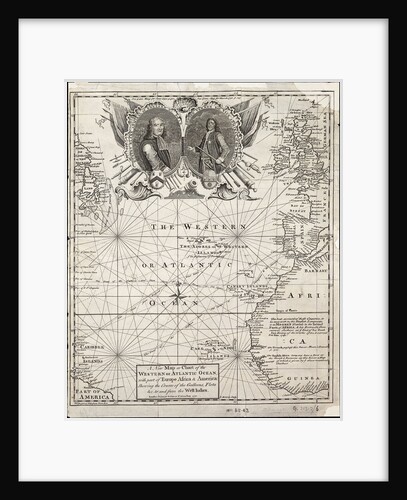
A new map or chart of the western or Atlantic ocean with part of Europe, Africa and America: showing the...
E. Bowen
Recently viewed
Clear history