Skip to main content
10% off your first order
☰ Menu
Basket icon
Wishlist icon
Account icon
Search icon
Search icon
Inspiration
Collections
Astrophotography
Battles and wars at sea
Children's
Exploration
Graphic designs
Greenwich
Historic figures
Historic vessels
Maps and charts
Photography
Pirates
Seascapes
Time and space
Natural history
World travel
Ship plans
Gift cards
Contact
Contact us
Newsletter
Search art & photography
Search icon
G215:1/3 prints
Showing 1 to 4 of 4
Search these images +
Search G215:1/3 images
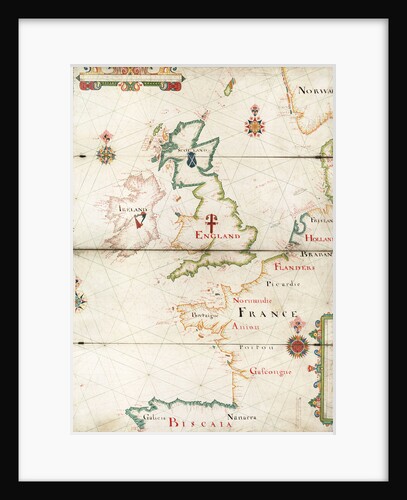
Atlantic coasts of Europe, Norway to Finisterre
Nicholas Comberford
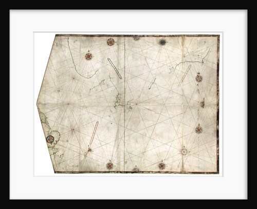
Portulan chart constructed by William Borough showing the sea area of the North Sea and Baltic, from the east coast...
William Borough
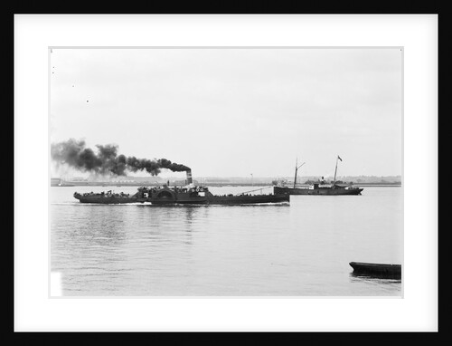
Paddle steamer 'Glen Rosa' (1877) with cargo steamer 'City of Verviers' (1875) in the distance
unknown
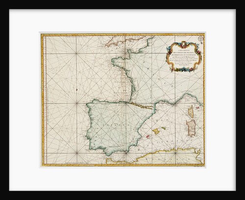
Chart of western Europe showing Paris meridian as the Prime
Jacques Nicolas Bellin
Recently viewed
Clear history