Skip to main content
10% off your first order
☰ Menu
Basket icon
Wishlist icon
Account icon
Search icon
Search icon
Inspiration
Collections
Astrophotography
Battles and wars at sea
Children's
Exploration
Graphic designs
Greenwich
Historic figures
Historic vessels
Maps and charts
Photography
Pirates
Seascapes
Time and space
Natural history
World travel
Ship plans
Gift cards
Contact
Contact us
Newsletter
Search art & photography
Search icon
Sri lanka prints
Showing 1 to 48 of 1000
Search these images +
Search Sri lanka images
An oruwa, Ceylon (Sri Lanka) 1930
Marine Photo Service
Photograph of the rear of Sri Kailawasanathan Swami Devasthanam Kovil in Sri Lanka.
Unknown
A landscape photograph of a Sri Lankan man looking out to sea.
Unknown
Point de Galle
Unknown
Chart of the Indian Ocean
Guillaume de L'Isle
Bay of Bengal
Anonymous
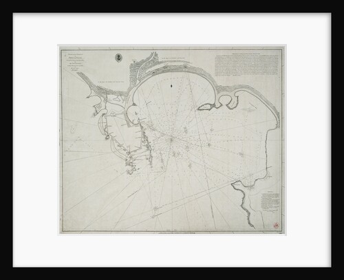
Chart of the harbour of Point de Galle. Surveyed in January and March 1800, by Captain David Inverarity. To whom...
Alexander Dalrymple
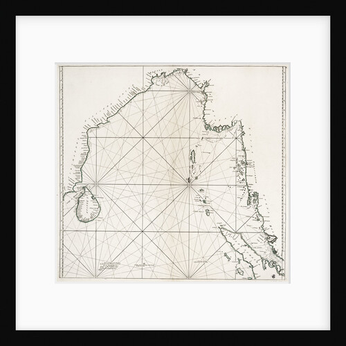
Bay of Bengal from Ceylon to Malacca
William Herbert
National Flag of Ceylon (1948-1951)
unknown
Fort St George on the Coromandel Coast
Jan van Ryne
No. 10 'A view of Linga or Lung, from the sea, during the destruction of dhows on 16 November 1809'
R. Temple
On board an Indian kotia type dhow anchored at Colombo, Ceylon
David Watkin Waters
Arnola Island, 1939
unknown
On board an Indian kotia type dhow anchored at Colombo, Ceylon
David Watkin Waters
The P&O liner SS 'Indus' (1871) in 1882
unknown
Lima
William Hack
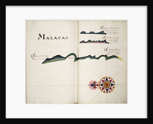
Malaca
William Hack
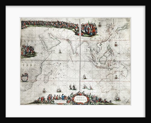
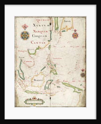
Map of the East Indies
Pieter Goos
Moulmein [Burma] from one of the Pagodas on the hill behind the town, early morning, Feby 1846
Edward Gennys Fanshawe
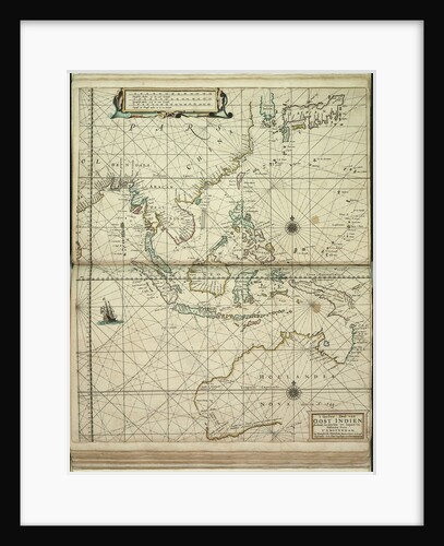
't Ooster deel van Oost Indien, streckende van Ceylon tot Japan en Hollandia Nova
Doncker Hendrik Doncker
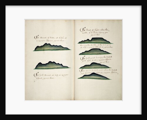
Views of Silla de Paita and Punta Aguja
William Hack
Chart of Arnola Island, 1884
unknown
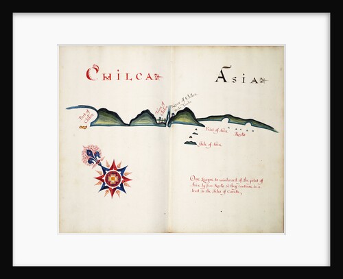
Chilca and Asia
William Hack
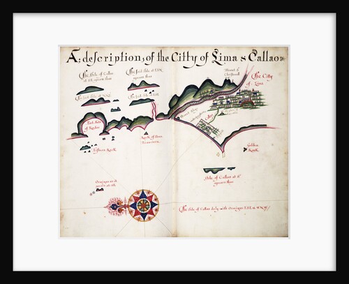
Map of Lima and Callao
William Hack
Seringapatam, attack of Lord Cornwallis
Unknown
Map of Chile, Patagonia, Tierra del Fuego and the Falkland Islands
Juan de Langara
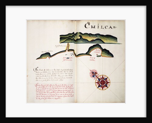
Chilca
William Hack
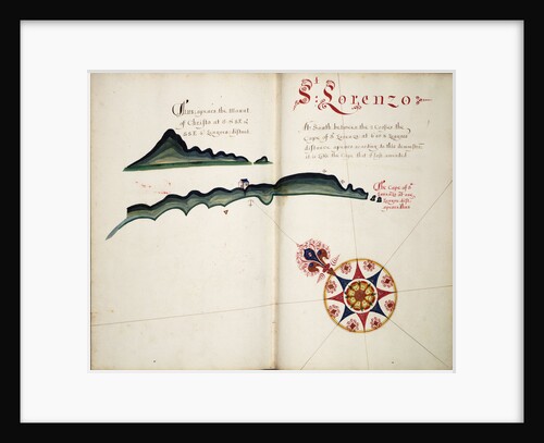
St Lorenzo
William Hack
Chart of river Valdivia and surroundings, Chile
Luis de Surville
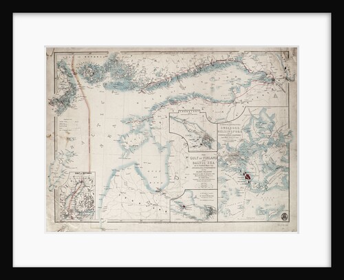
Chart of Gulf of Finland and Baltic
James Wyld
The East Indiaman 'Northumberland' off Saint Helena
Thomas Luny
Isla Salanga and Santa Elena
Basil Ringrose
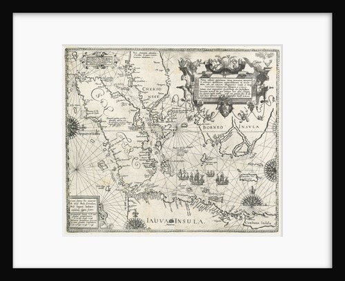
Linschoten's voyage to the East Indies, 1583-1595
unknown
Naguala
William Hack
Limary, South American Pacific coast
William Hack
A view of Batavia the capital of the Dutch - settlements in India
Drummond
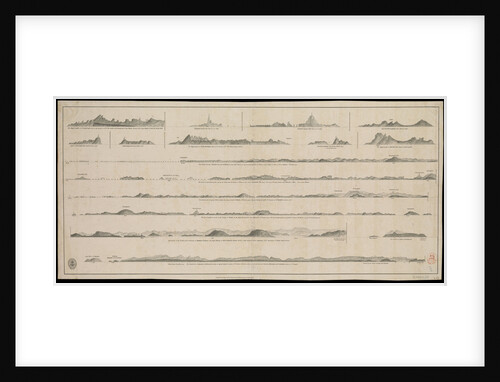
Views of Gujarat coast (lie of the land)
British Admiralty
East part of Ulster
unknown
Surat from the land
Ludolf Bakhuizen
Stern quarter view of a fine baggala drawn up on the Kuwait waterfront
Alan Villiers
Ho Lago
unknown
Side view probably of the 'Bedri' baggala, Kwale Island
Alan Villiers
Mukalla shoreline
Alan Villiers
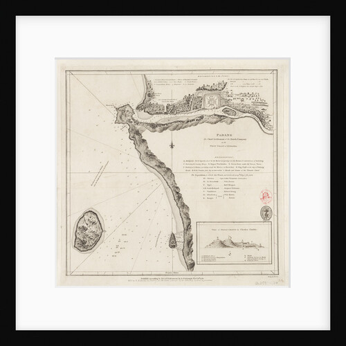
Padang - the chief settlement of the Dutch Company on the west coast of Sumatra
Alexander Dalrymple
Map of the East Indies, 1665
Nicholas Comberford
A large baggala in Mutrah harbour
Alan Villiers
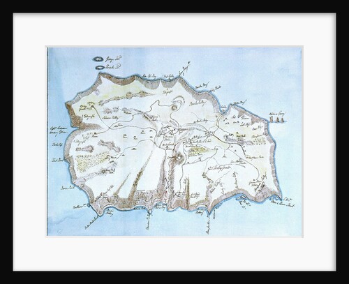
Map of the island of St Helena
William Innes Pocock
Navigation through the Straits of Sunda to Batavia
William Heather
1
2
3
…
21
Next »
Recently viewed
Clear history