Skip to main content
10% off your first order
☰ Menu
Basket icon
Wishlist icon
Account icon
Search icon
Search icon
Inspiration
Collections
Astrophotography
Battles and wars at sea
Children's
Exploration
Graphic designs
Greenwich
Historic figures
Historic vessels
Maps and charts
Photography
Pirates
Seascapes
Time and space
Natural history
World travel
Ship plans
Gift cards
Contact
Contact us
Newsletter
Search art & photography
Search icon
Circa 1550 prints
Showing 1 to 48 of 126
Search these images +
Search Circa 1550 images
Britain and Ireland
Joan Martines
South America
unknown
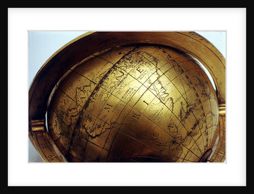
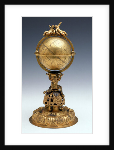
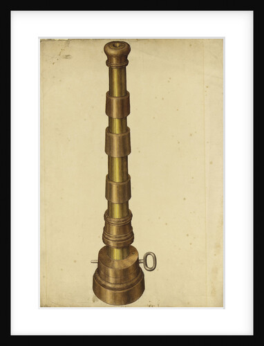
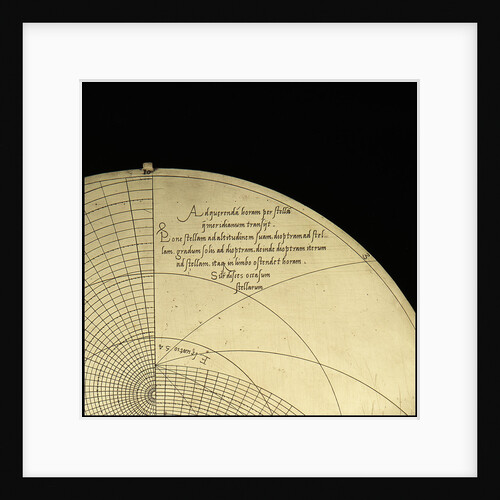
Sphere and stand
unknown
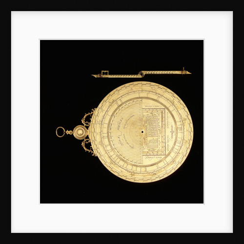
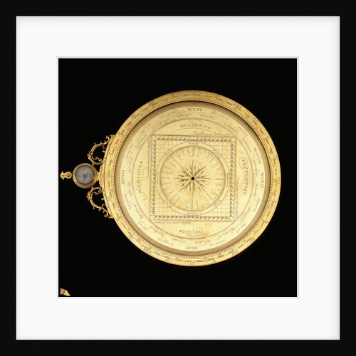
Astrolabe: dismounted reverse
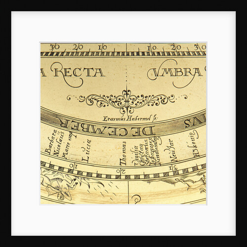
Erasmus Habermel
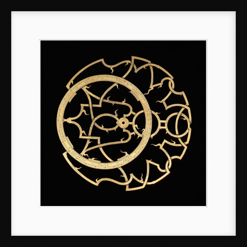
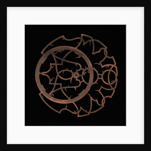
Astrolabe: rete (obverse)
Erasmus Habermel
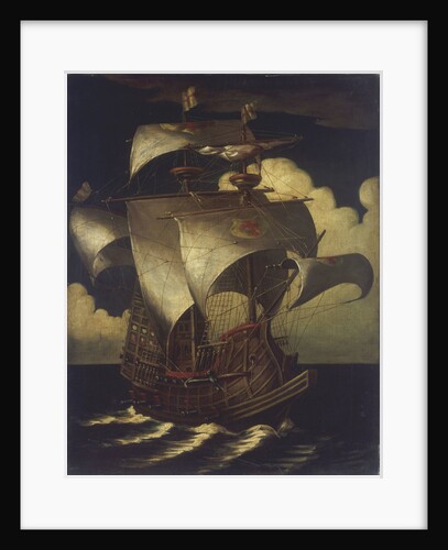
'A carrack before the wind' by Pieter Brueghel the Elder
Pieter Brueghel the Elder
Mr Attrill’s Sailshop, Bembridge, Isle of Wight
Pieter Brueghel the Elder
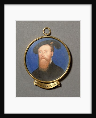
Thomas Seymour, Lord Seymour of Sudeley (circa 1508-1549)
unknown
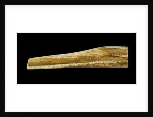
Resin imitation of a whalebone pan bone plaque
Juratone Co. Ltd.
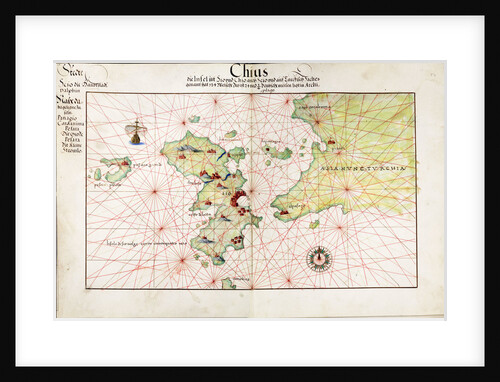
Chart of Chius (Chios, Greece), 1554
Battista Agnese
Humber (1748)
Unknown
Woolwich Arsenal circa 1750. Mould for making powder pellets
unknown
Astrolabe: rete (reverse)
Erasmus Habermel
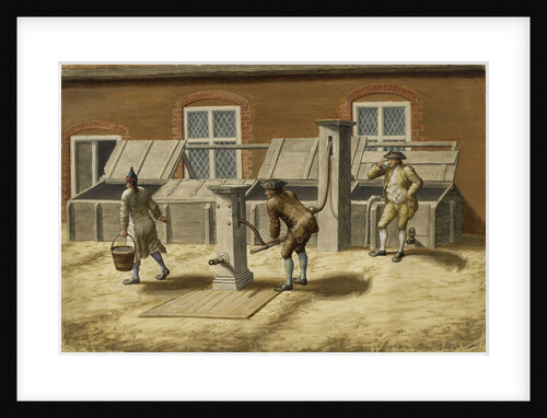
Woolwich Arsenal circa 1750. The Pumps
unknown
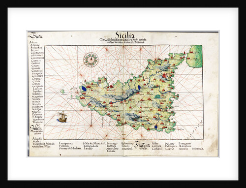
Chart of Sicily, 1554
Battista Agnese
Astrolabe: dismounted obverse
Erasmus Habermel
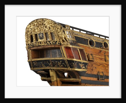
Warship (circa 1705)
unknown
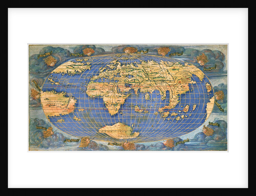
Planisphere world map by Francesco Rosselli, around 1508
Francesco Rosselli
'Chichester' (1753)
Unknown
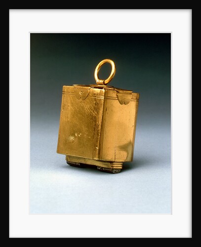
Lodestone, circa 1600
unknown
Astrolabe: inscription on plate for 51
Michael D. Piquer
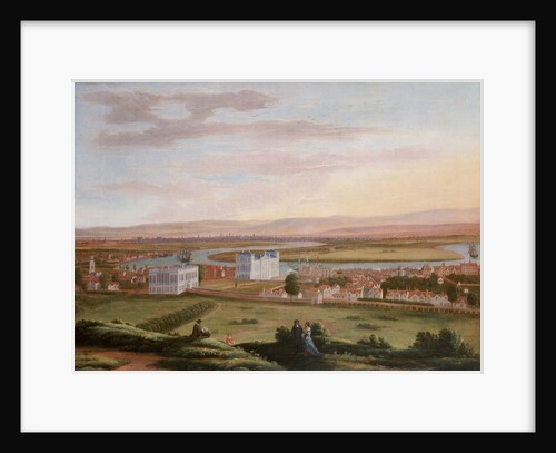
A view of Greenwich and the Queen's House from the South East, circa 1670
Hendrick Danckerts
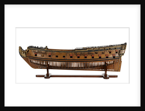
Full hull model of a floating battery gunboat (circa 1850); model is decked
unknown
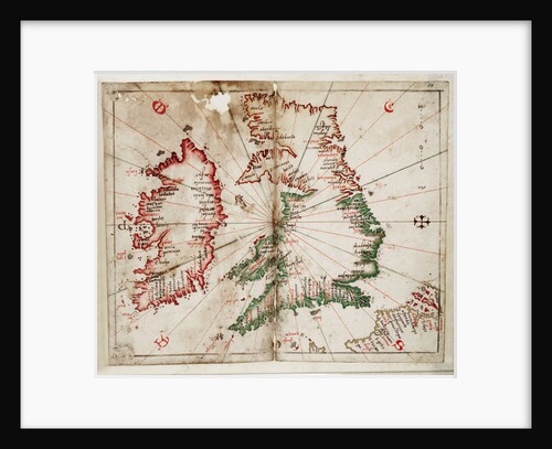
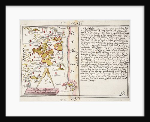
16th century map of county Limerick, Ireland
Anonymous
Rochfort (1814) [alternative spelling: Rochefort]; Sandwich (cancelled 1811)
Unknown
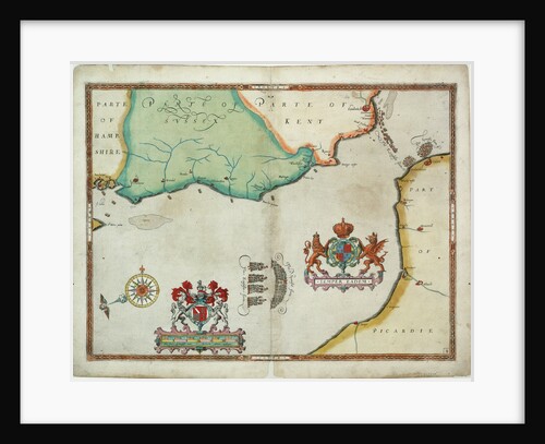
Map of 'The pursuit to Calais, 4 - 6 August 1588'
Robert Adams; Augustine Ryther
NE Atlantic and W Mediterranean
Joannes Oliva
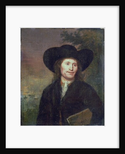
Portrait of a gentleman (circa 1670)
unknown
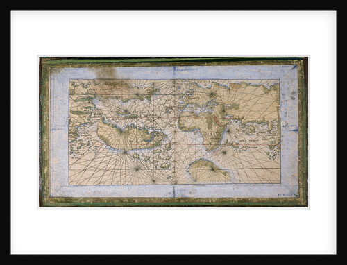
World planisphere
Francesco Rosselli
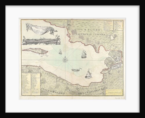
Chart of Cronstadt, circa 1720 (with key)
unknown
Astrolabe: signature
Erasmus Habermel
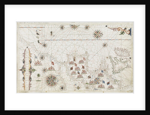
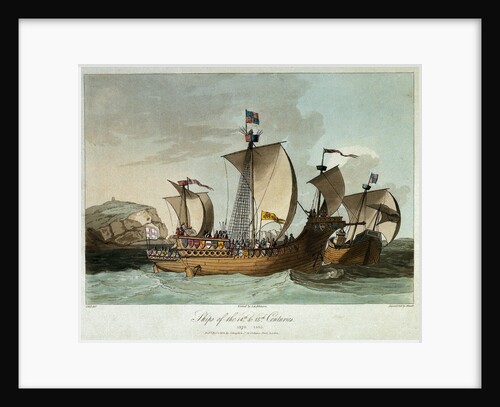
Ships of the 14th & 15th centuries
C.H.S.
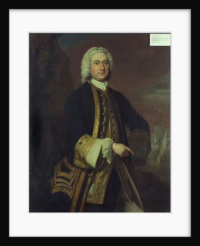
Captain William Gordon (circa 1709-1768)
Joseph Highmore
Mariner's quadrant, circa 1600
unknown
Warship (circa 1705)
unknown
Plan of the deck, quarter & forecastle of Concorde (1783)
unknown
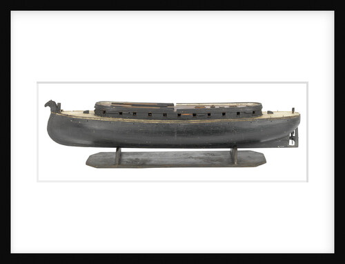
50ft Lighter (circa 1788)
Unknown
Warship (circa 1800)
unknown
Lines plan for 'Claymore' (1955)
Unknown
Warship (circa 1705)
unknown
Warship (circa 1705)
unknown
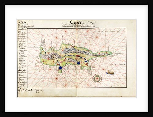
Vellum chart of Cyprus, 1554
Battista Agnese
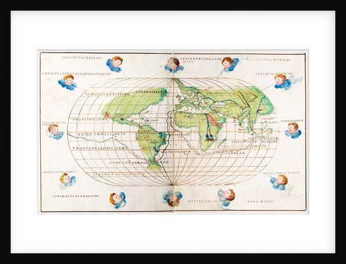
Oval planisphere of the world showing Magellan's track, 1554
Battista Agnese
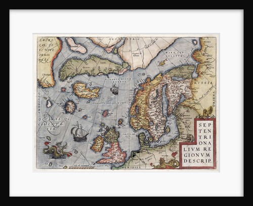
Map of Europe by Ortelius, 16th century
Abraham Ortelius
16550; Lines plan for 'CMB1' (1916)
Thornycroft & Company Ltd
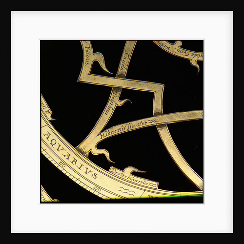
Astrolabe: detail of rete
Erasmus Habermel
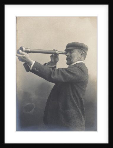
Cust demonstrating his Patent Rangefinder, circa 1904
unknown
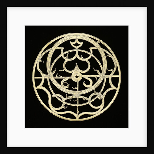
Astrolabe: rete
Unknown
1
2
3
Next »
Recently viewed
Clear history


![Rochfort (1814) [alternative spelling: Rochefort]; Sandwich (cancelled 1811)](http://prints.rmg.co.uk/cdn/shop/products/j7685_7bca2b6f-4c01-43cb-8068-86073c554422_600x.jpg?v=1528801663)