Skip to main content
10% off your first order
☰ Menu
Basket icon
Wishlist icon
Account icon
Search icon
Search icon
Inspiration
Collections
Astrophotography
Battles and wars at sea
Children's
Exploration
Graphic designs
Greenwich
Historic figures
Historic vessels
Maps and charts
Photography
Pirates
Seascapes
Time and space
Natural history
World travel
Ship plans
Gift cards
Contact
Contact us
Newsletter
Search art & photography
Search icon
Circa 1604 prints
Showing 1 to 32 of 32
Search these images +
Search Circa 1604 images
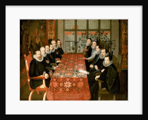
The Somerset House conference, 19 August 1604
Juan Pantoja de la Cruz
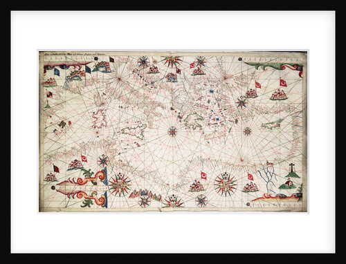
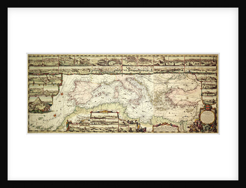
Chart of the Mediterranean circa 1640
Joan Oliva
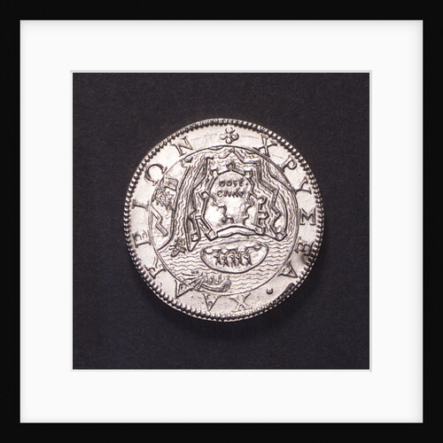
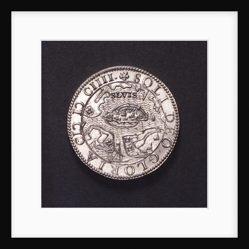
Counter commemorating the Battle of Sluys, 1603 and the defence of Ostend, 1604; reverse
unknown
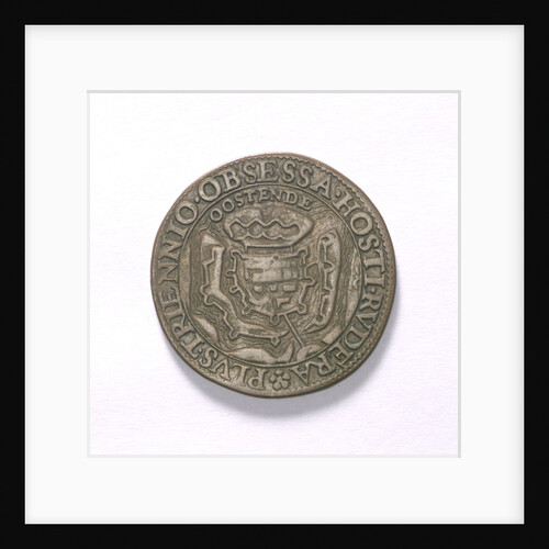
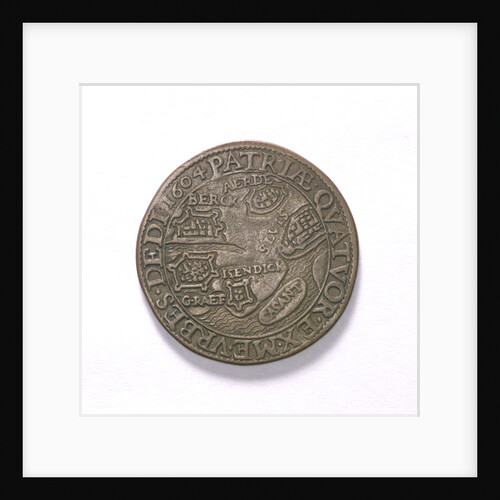
Counter commemorating the siege of Ostend, 1604 and the capture of other cities; obverse
unknown
Counter commemorating the siege of Ostend, 1604 and the capture of other cities; reverse
unknown
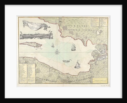
Chart of Cronstadt, circa 1720 (with key)
unknown
Counter commemorating the Battle of Sluys, 1603 and the defence of Ostend, 1604; obverse
unknown
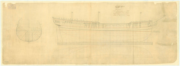
Humber (1748)
Unknown
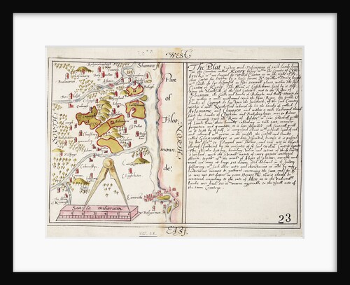
16th century map of county Limerick, Ireland
Anonymous
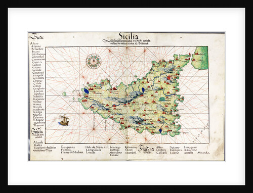
Chart of Sicily, 1554
Battista Agnese
Counter commemorating the Battle of Sluys, 1603 and the defence of Ostend, 1604; obverse
unknown
16456; Lines plan for Thornycroft 'CMB' (1916)
Thornycroft & Company Ltd
Counter commemorating the Battle of Sluys, 1603 and the defence of Ostend, 1604; reverse
unknown
Portrait of a gentleman (circa 1670)
unknown
Sir John Chichley (circa 1640-1691)
Jacob Huysmans
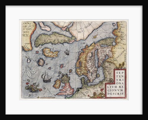
Map of Europe by Ortelius, 16th century
Abraham Ortelius
Plan of 'Minorca' (1740)
Unknown
Adriatic chart, circa 1620
unknown
Globe dividers, circa 1600
unknown
Hardy (1804)
Unknown
Carysfort (1766)
Unknown
Furnace (1740)
Unknown
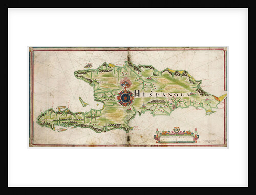
Map of Hispaniola, 1653
Nicholas Comberford
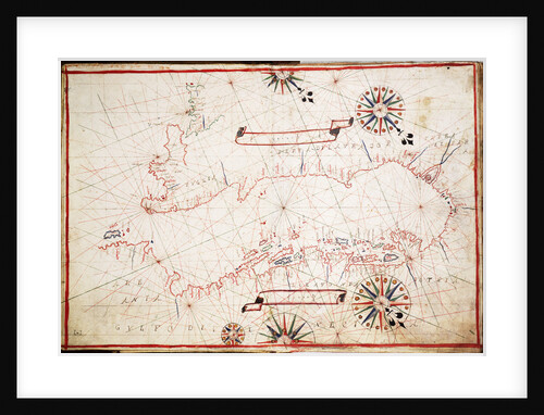
Chart of the eastern Mediterrean
unknown
Lines plan for 'Convulsion' (1804)
Unknown
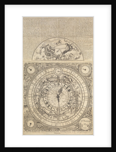
An Astronomical and Cronological Clock showing all the Most Usefull Parts of an Almanack
Jon Naylor
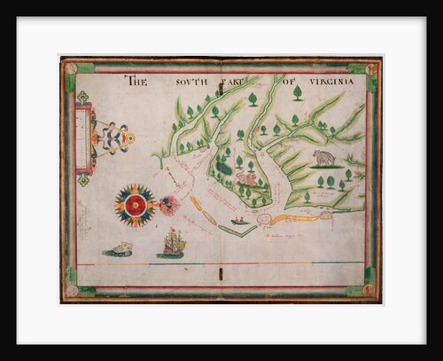
The south part of Virginia, 1657
Nicholas Comberford
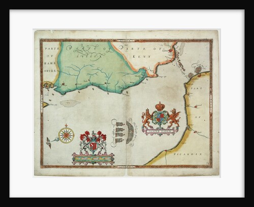
Map of 'The pursuit to Calais, 4 - 6 August 1588'
Robert Adams; Augustine Ryther
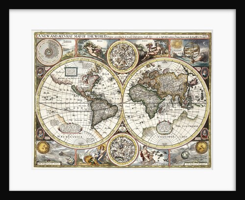
'A new and accurate map of the world' by John Speed, 1626
John Speed
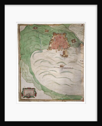
Chart of Algiers Bay, 1620
Robert Norton
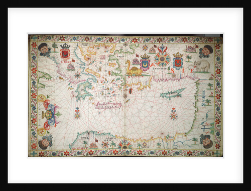
Chart of the Mediterranean, 1694
Romain de Hooge
16550; Lines plan for 'CMB1' (1916)
Thornycroft & Company Ltd
Recently viewed
Clear history