Skip to main content
10% off your first order
☰ Menu
Basket icon
Wishlist icon
Account icon
Search icon
Search icon
Inspiration
Collections
Astrophotography
Battles and wars at sea
Children's
Exploration
Graphic designs
Greenwich
Historic figures
Historic vessels
Maps and charts
Photography
Pirates
Seascapes
Time and space
Natural history
World travel
Ship plans
Gift cards
Contact
Contact us
Newsletter
Search art & photography
Search icon
Circa 1612 prints
Showing 1 to 48 of 107
Search these images +
Search Circa 1612 images
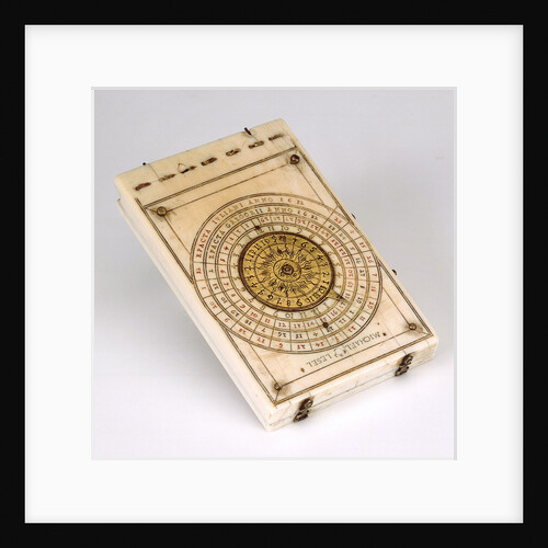
Diptych dial, leaf IIb
Michael Lesel
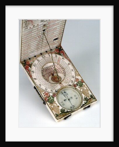
Diptych dial, leaves Ib and IIa
Michael Lesel
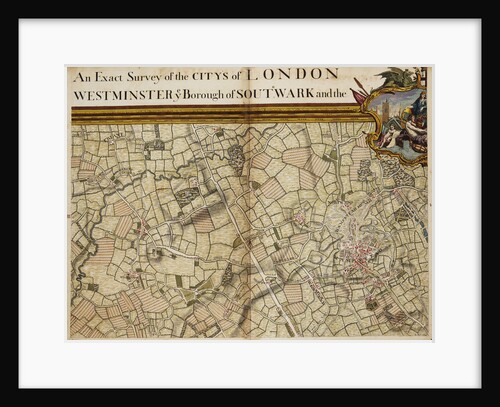
Map of Willesden and Hampstead
John Rocque
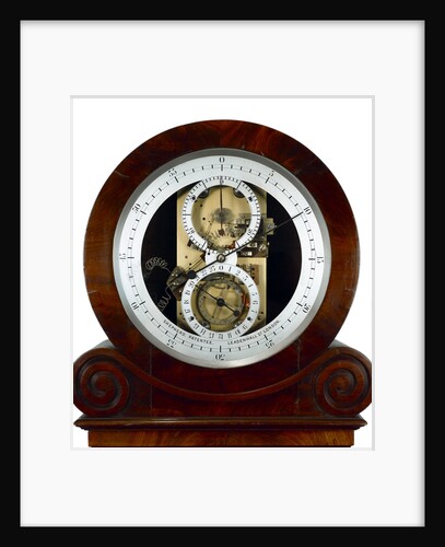
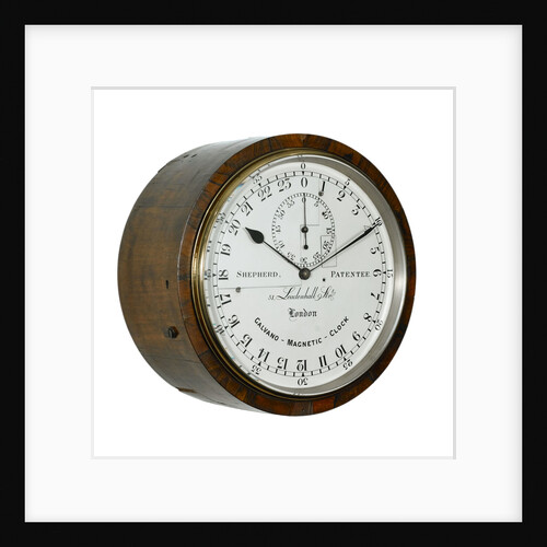
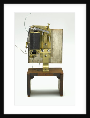
Electrical master clock, face
Shepherd
Slave dial, side and face
Shepherd
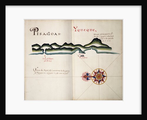
Pisagoa and Yqueque, Chile
William Hack
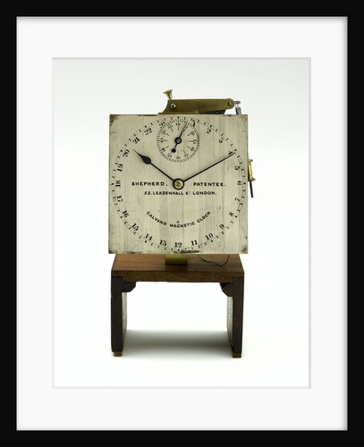
Slave dial chronometer, face
Shepherd
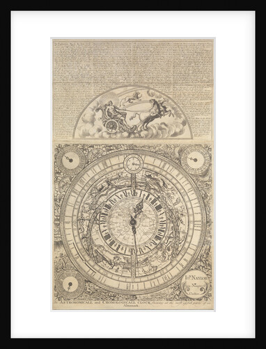
An Astronomical and Cronological Clock showing all the Most Usefull Parts of an Almanack
Jon Naylor
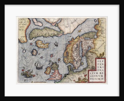
Map of Europe by Ortelius, 16th century
Abraham Ortelius
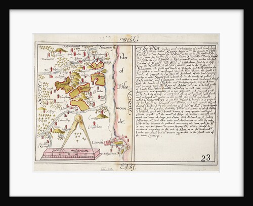
16th century map of county Limerick, Ireland
Anonymous
Slave dial chronometer, movement
Shepherd
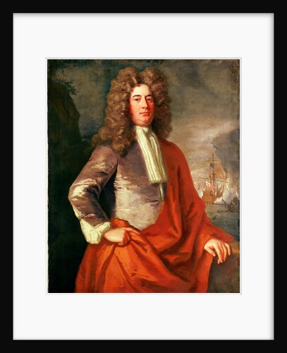
Lord Matthew Aylmer (circa 1655-1720)
Jonathan Richardson
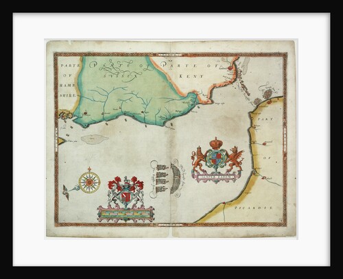
Map of 'The pursuit to Calais, 4 - 6 August 1588'
Robert Adams; Augustine Ryther
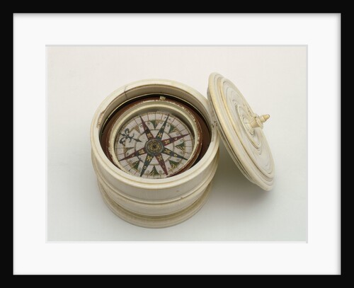
Mariner's compass, 16th century
unknown
16456; Lines plan for Thornycroft 'CMB' (1916)
Thornycroft & Company Ltd
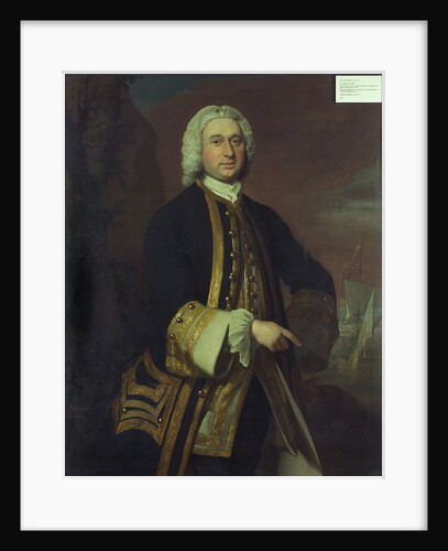
Captain William Gordon (circa 1709-1768)
Joseph Highmore
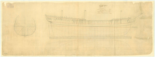
Licorne (1778) [ex Licome (1755)]
Unknown
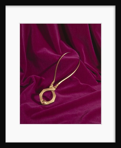
Globe dividers, circa 1600
unknown
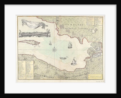
Chart of Cronstadt, circa 1720 (with key)
unknown
Licorne (1778) [ex Licome (1755)
Unknown
Fly (1752)
Unknown
Licorne (1778) [ex Licome (1755)]
Unknown
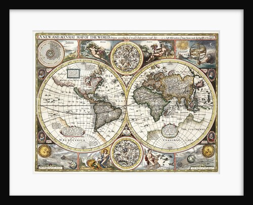
'A new and accurate map of the world' by John Speed, 1626
John Speed
Cruizer (1752) [alternative spelling: Cruiser]
Unknown
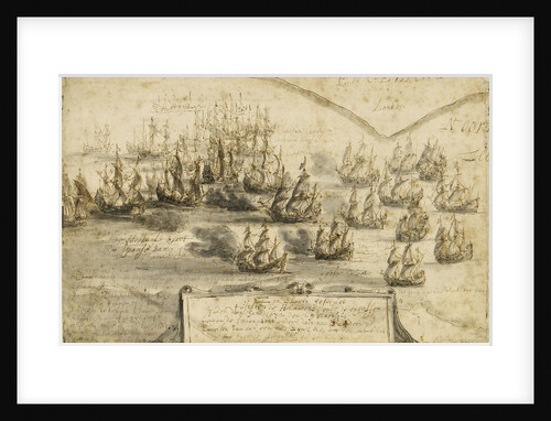
Holme's attack on the Smyrna Fleet, 12 March 1672
Netherlandish School
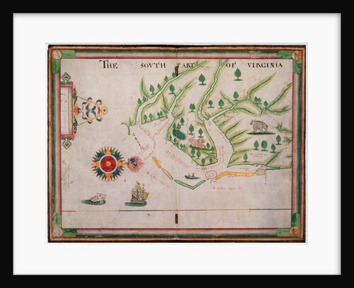
The south part of Virginia, 1657
Nicholas Comberford
The south part of Virginia. Made by Nicholas Comberford dwelling in Redcliffe, anno 1657
Nicholas Comberford
'Lyme' (1748) [alternative spelling Lime]
Unknown
Carysfort (1766)
Unknown
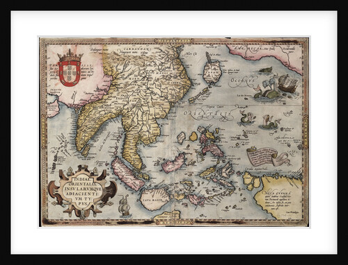
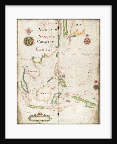
Map of the East Indies, 1665
Nicholas Comberford
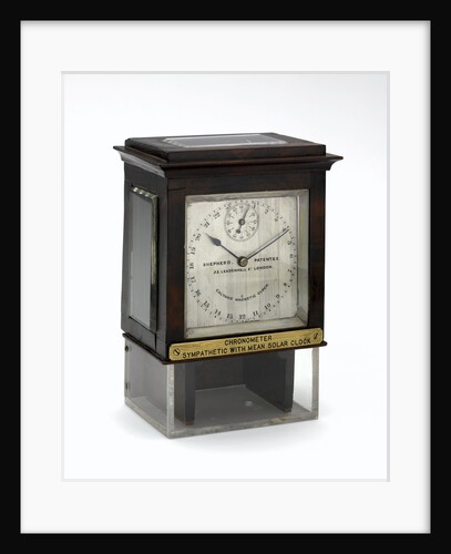
Slave dial chronometer, complete in case
Shepherd
Map of the East Indies by Ortelius
Abraham Ortelius
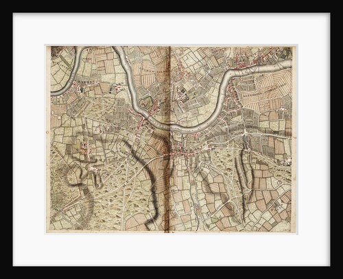
Map of Barnes, Battersea, Putney and Wandsworth
John Rocque
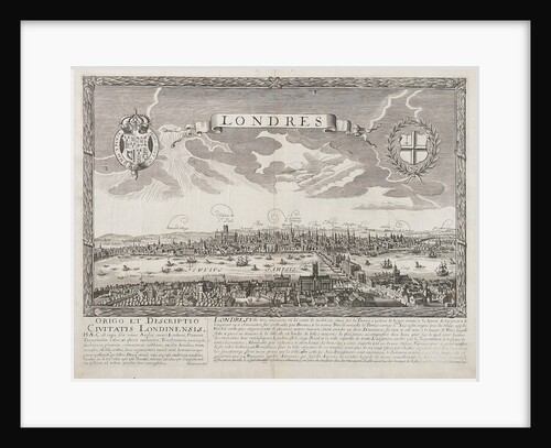
London before the Great Fire of 1666
unknown
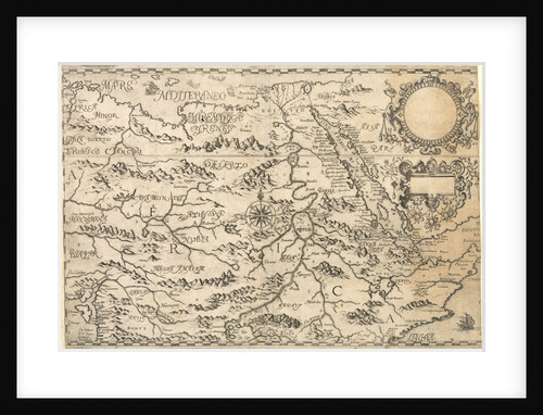
Map of the Congo Kingdom 1578
unknown
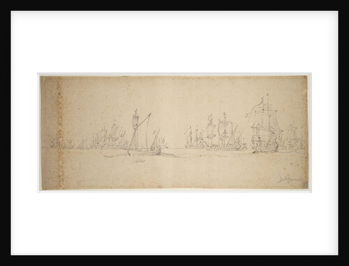
The Dutch fleet before the wind, May? 1672
Willem van de Velde the Elder
Gloucester (1812)
Unknown
Early 17th century map of the world, after Mercator, with inset portraits of explorers (Drake, Magellan, Thomas Cavendish and Oliver...
unknown
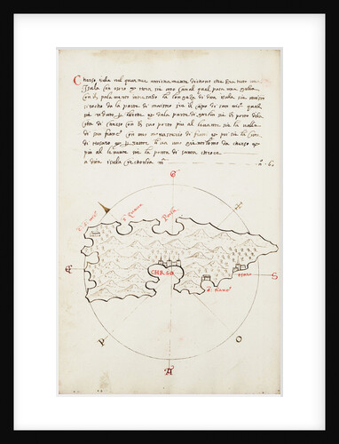
Chrso
Antonio Millo
East part of Ulster
unknown
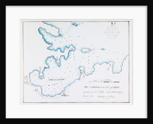
Map of Port St George in the Island of Lissa as surveyed by Mr W White, Master HMS 'Eagle', March...
William Innes Pocock
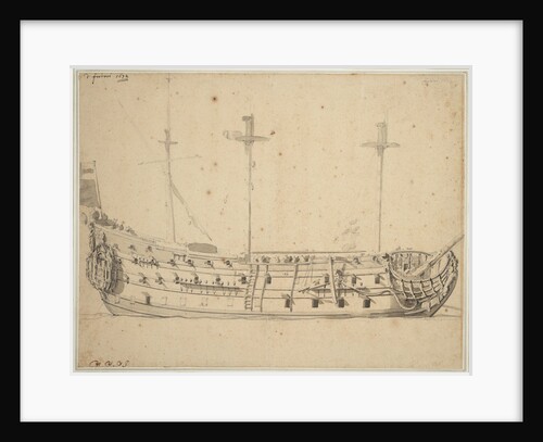
Portrait of the 'Victory', 2nd rate built 1620, 82 guns, rebuilt 1666
Willem Van de Velde the Younger
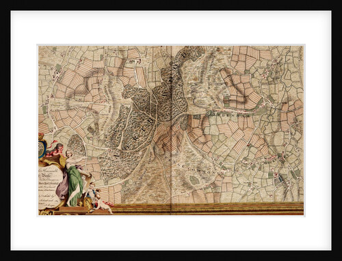
Map of Streatham, Croydon and Sydenham
John Rocque
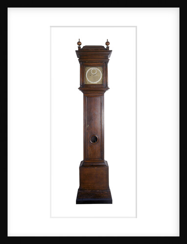
Angle clock
Thomas Tompion
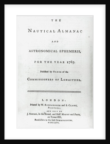
The Nautical Almanac for the year 1767
W. Richardson
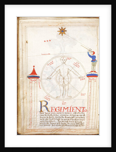
Rules of the North Star
Unknown
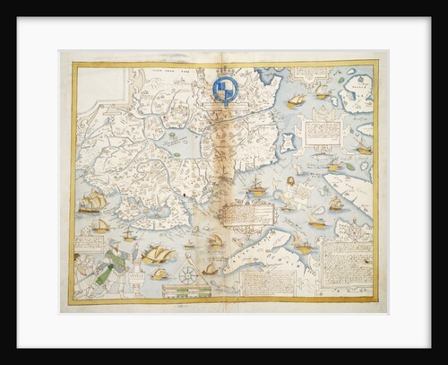
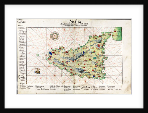
Chart of Sicily, 1554
Battista Agnese
London (1766)
Unknown
1
2
3
Next »
Recently viewed
Clear history


![Licorne (1778) [ex Licome (1755)]](http://prints.rmg.co.uk/cdn/shop/products/j6625_1f9f4775-8cf9-48f9-970b-476296ff8788_600x.jpg?v=1528802575)


![Licorne (1778) [ex Licome (1755)]](http://prints.rmg.co.uk/cdn/shop/products/j6623_28b74675-3d97-44d0-833c-6581aa764fb1_600x.jpg?v=1528801620)
![Cruizer (1752) [alternative spelling: Cruiser]](http://prints.rmg.co.uk/cdn/shop/products/j0070_bb340d87-34de-446f-b01a-fa86ecb7decc_600x.jpg?v=1528803018)
!['Lyme' (1748) [alternative spelling Lime]](http://prints.rmg.co.uk/cdn/shop/products/j8267_60e2ab68-389f-427b-851c-07b977e5e13f_600x.jpg?v=1528803016)