Skip to main content
10% off your first order
☰ Menu
Basket icon
Wishlist icon
Account icon
Search icon
Search icon
Inspiration
Collections
Astrophotography
Battles and wars at sea
Children's
Exploration
Graphic designs
Greenwich
Historic figures
Historic vessels
Maps and charts
Photography
Pirates
Seascapes
Time and space
Natural history
World travel
Ship plans
Gift cards
Contact
Contact us
Newsletter
Search art & photography
Search icon
Circa 1620 prints
Showing 1 to 48 of 56
Search these images +
Search Circa 1620 images
Adriatic chart, circa 1620
unknown
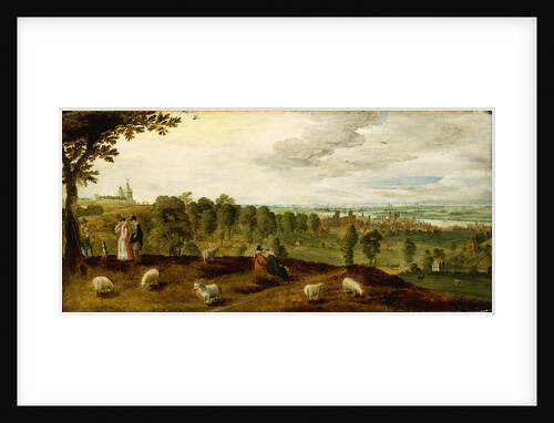
Greenwich from the park showing the Tudor palace, circa 1620
Unknown
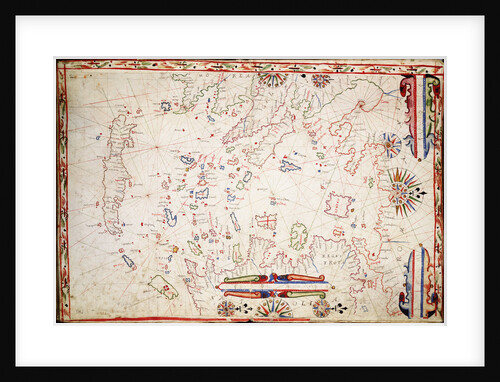
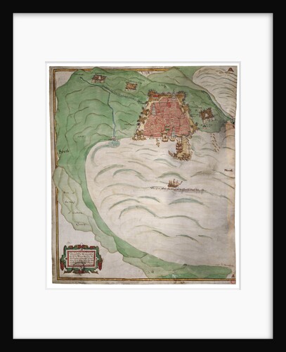
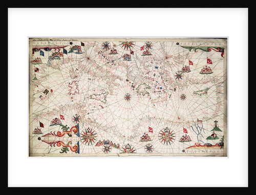
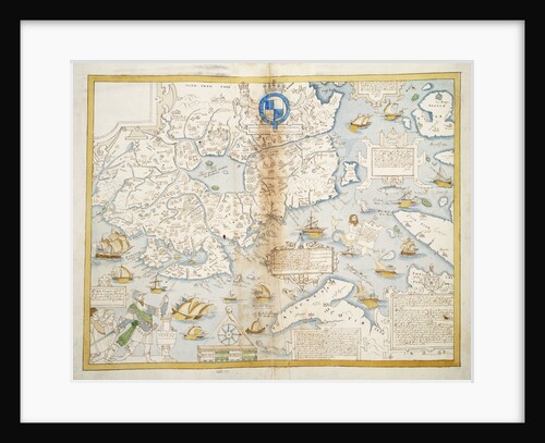
Greek Archipelago, circa 1620
Unknown
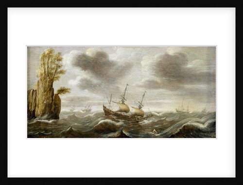
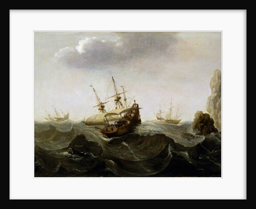
Dutch ships in a rough sea
Cornelisz Verbeecq
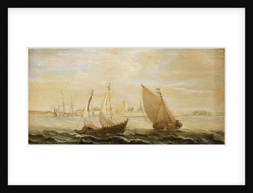
A yacht and a small vessel underway off a Dutch harbour
Cornelisz Verbeecq
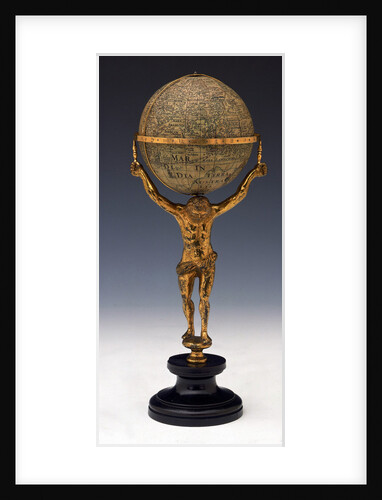
Sphere and stand
Johannes Janssonius
Chart of north-east Atlantic, from British Isles to Cape Verde
unknown
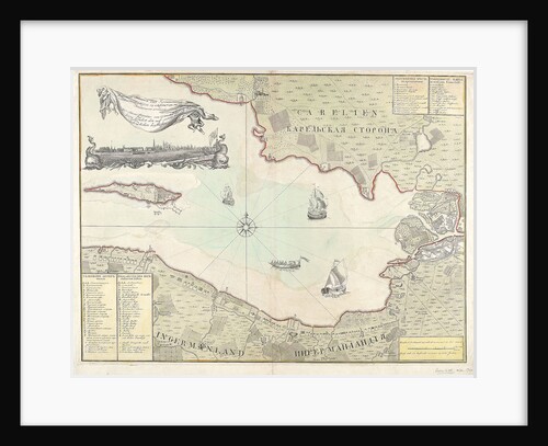
Chart of Cronstadt, circa 1720 (with key)
unknown
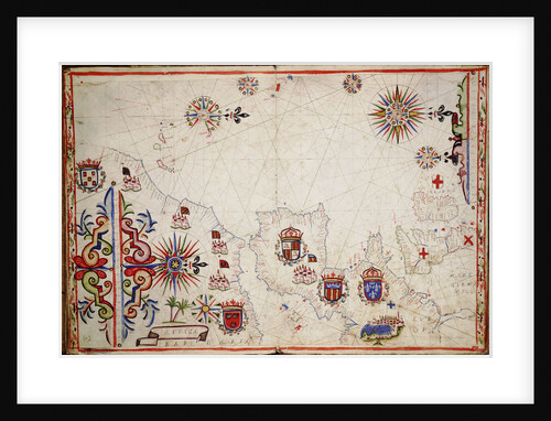
Chart of Algiers Bay, 1620
Robert Norton
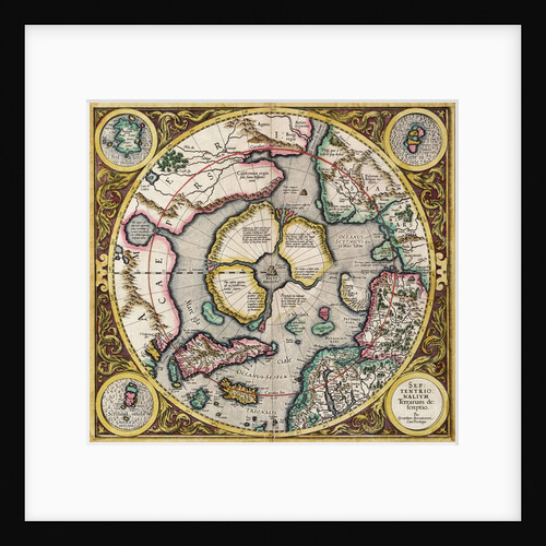
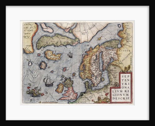
Polar projection 'Septentrionalium terrarum' by Mercator
Gerard Mercator
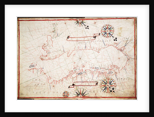
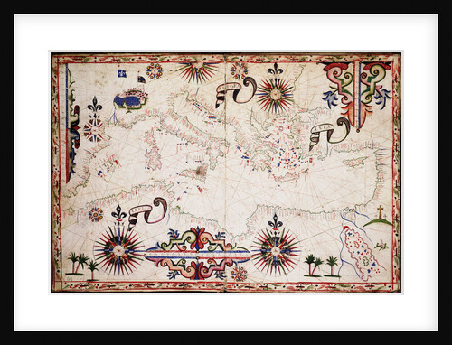
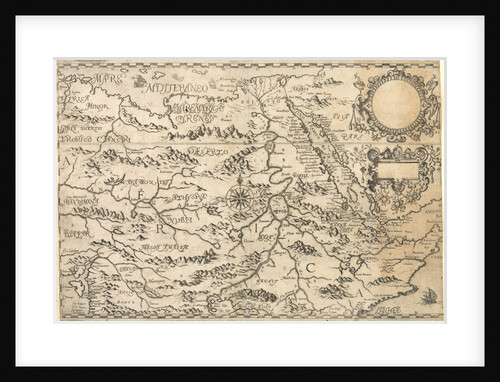
Chart of Mediterranean, Black and Caspian Seas
unknown
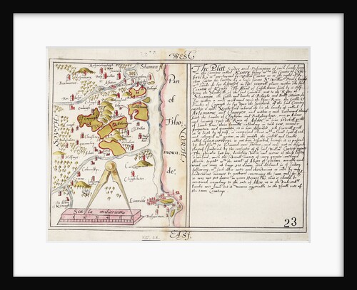
16th century map of county Limerick, Ireland
Anonymous
A ship in a rough sea
Cornelisz Verbeecq
Map of Europe by Ortelius, 16th century
Abraham Ortelius
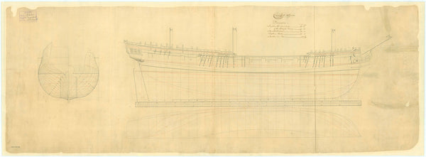
16456; Lines plan for Thornycroft 'CMB' (1916)
Thornycroft & Company Ltd
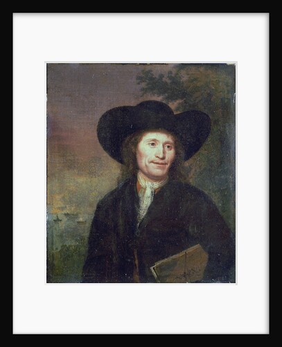
Portrait of a gentleman (circa 1670)
unknown
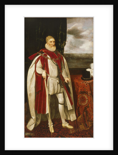
Charles Howard, 1st Earl of Nottingham (1536-1624)
Daniel Mytens the Elder
Chart of the Mediterranean circa 1640
Joan Oliva
Carysfort (1766)
Unknown
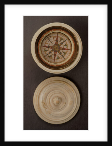
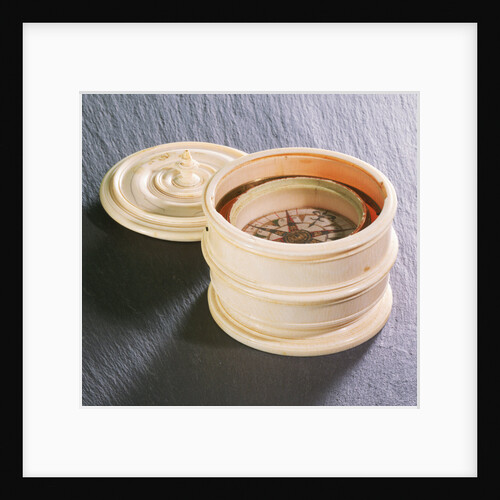
Mariner's compass, 16th century
unknown
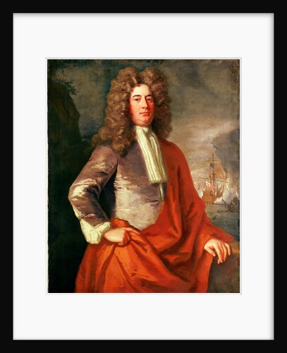
Lord Matthew Aylmer (circa 1655-1720)
Jonathan Richardson
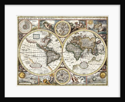
'A new and accurate map of the world' by John Speed, 1626
John Speed
Globe dividers, circa 1600
unknown
Map of 'The pursuit to Calais, 4 - 6 August 1588'
Robert Adams; Augustine Ryther
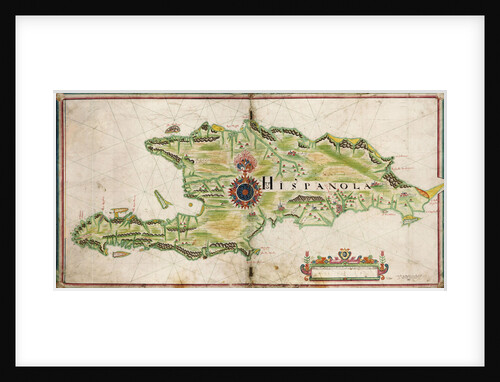
Map of Hispaniola, 1653
Nicholas Comberford
16550; Lines plan for 'CMB1' (1916)
Thornycroft & Company Ltd
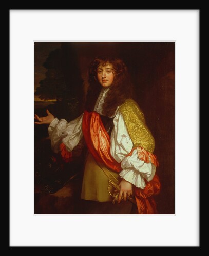
Sir John Chichley (circa 1640-1691)
Jacob Huysmans
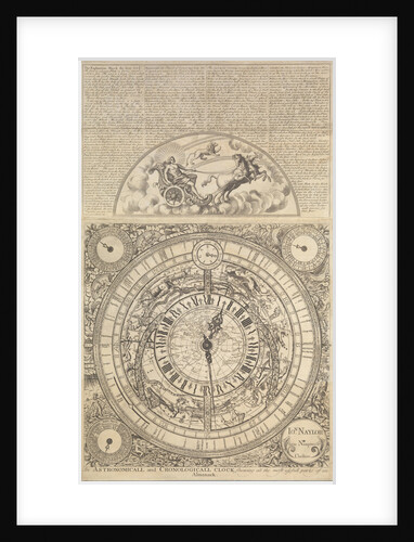
An Astronomical and Cronological Clock showing all the Most Usefull Parts of an Almanack
Jon Naylor
Mariner's compass, 16th century
unknown
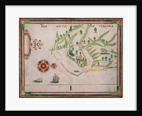
The south part of Virginia, 1657
Nicholas Comberford
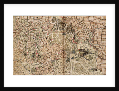
Map of Willesden and Hampstead
John Rocque
The south part of Virginia. Made by Nicholas Comberford dwelling in Redcliffe, anno 1657
Nicholas Comberford
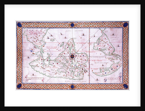
Map of the East Indies, 1665
Nicholas Comberford
Chart of the eastern Mediterrean
unknown
Early 17th century map of the world, after Mercator, with inset portraits of explorers (Drake, Magellan, Thomas Cavendish and Oliver...
unknown
East India Company's yard at Deptford, circa 1660
unknown
View of Surat, circa 1660
unknown
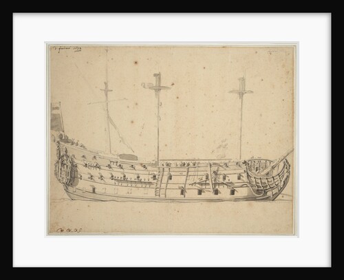
Portrait of the 'Victory', 2nd rate built 1620, 82 guns, rebuilt 1666
Willem Van de Velde the Younger
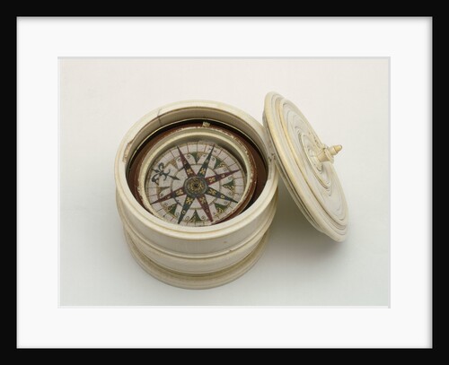
Mariner's compass, 16th century
unknown
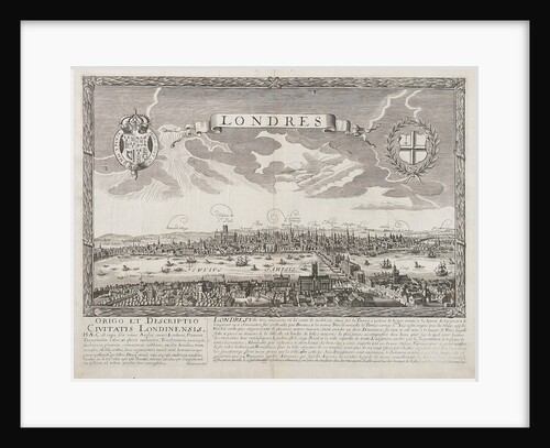
London before the Great Fire of 1666
unknown
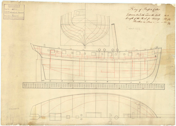
King of Prussia (circa 1763)
Unknown
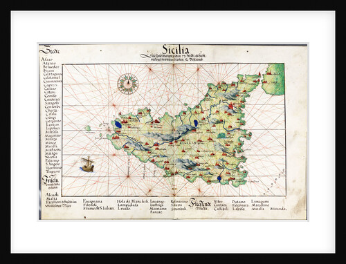
Chart of Sicily, 1554
Battista Agnese
East part of Ulster
unknown
Map of Hackney, Waltham and Wanstead
John Rocque
Map of the Congo Kingdom 1578
unknown
World chart by Pierre Hamon, 1568
Pierre Hamon
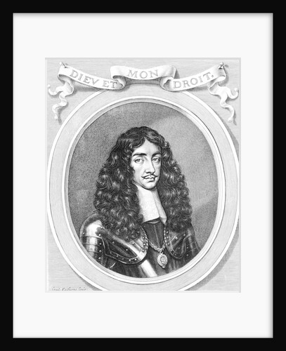
Charles II (1630-1685)
William Faithorne
Diamond (1723)
Unknown
1
2
Next »
Recently viewed
Clear history