Skip to main content
10% off your first order
☰ Menu
Basket icon
Wishlist icon
Account icon
Search icon
Search icon
Inspiration
Collections
Astrophotography
Battles and wars at sea
Children's
Exploration
Graphic designs
Greenwich
Historic figures
Historic vessels
Maps and charts
Photography
Pirates
Seascapes
Time and space
Natural history
World travel
Ship plans
Gift cards
Contact
Contact us
Newsletter
Search art & photography
Search icon
Circa 1638 prints
Showing 1 to 48 of 75
Search these images +
Search Circa 1638 images
Henrietta Maria (1609-1669)
unknown
27ft Steam Cutter (1868)
Unknown
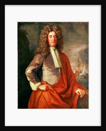
Sir Anthony Deane (circa 1638-1721)
John Greenhill
John Benbow (1653-1702), Sir Ralph Delavalle (circa 1645-1707) and Thomas Phillips (circa 1635-1693)
Thomas Murray
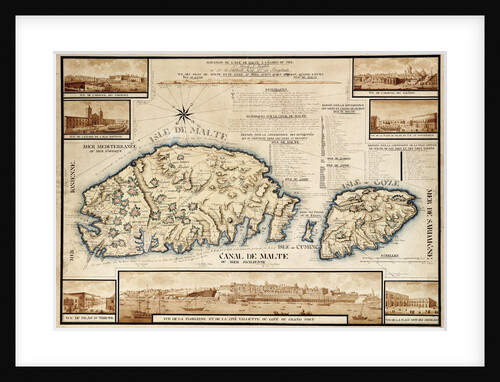
French chart of Malta, circa 1798
unknown
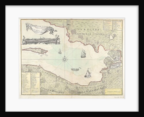
Chart of Cronstadt, circa 1720 (with key)
unknown
Calliope (1837), Andromache (1832)
Unknown
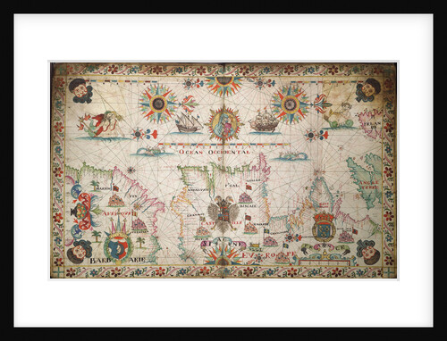
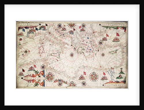
Chart of the Mediterranean circa 1640
Joan Oliva
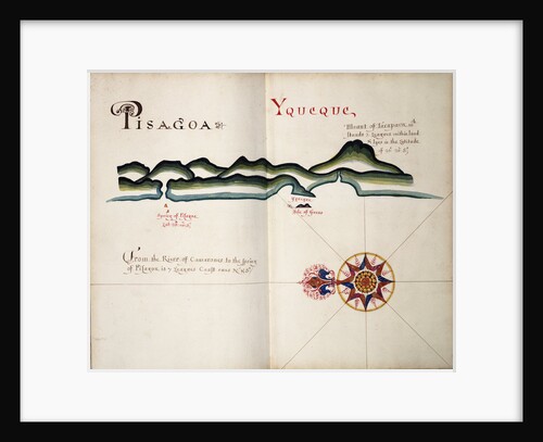
Pisagoa and Yqueque, Chile
William Hack
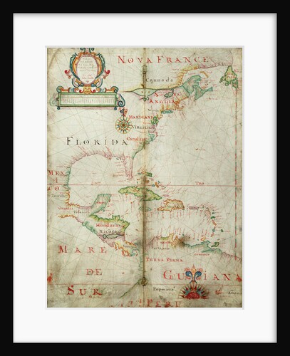
Chart of the western Atlantic, 1678
Joel Gascoyne
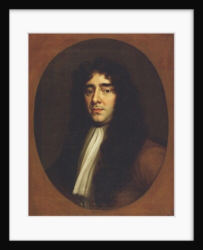
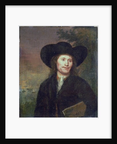
Portrait of a gentleman (circa 1670)
unknown
Map of 'The pursuit to Calais, 4 - 6 August 1588'
Robert Adams; Augustine Ryther
16th century map of county Limerick, Ireland
Anonymous
King of Prussia (circa 1763)
Unknown
World chart by Pierre Hamon, 1568
Pierre Hamon
Carnatic (1783); Leviathan (1790); Colossus (1787); Minotaur (1793)
Unknown
An Astronomical and Cronological Clock showing all the Most Usefull Parts of an Almanack
Jon Naylor
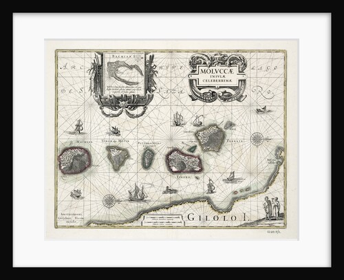
Chart of the Moluccas, Indonesia
Willem Blaeu
The English and Spanish fleets on 1 - 2 August, 1588
Robert Adams
Adriatic chart, circa 1620
unknown
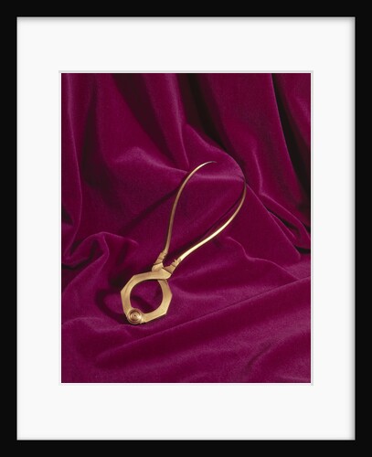
Globe dividers, circa 1600
unknown
Humber (1748)
Unknown
'Caesar' (1793)
Unknown
Lord Matthew Aylmer (circa 1655-1720)
Jonathan Richardson
Dover (1786)
Unknown
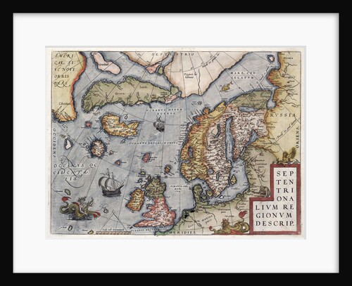
Map of Europe by Ortelius, 16th century
Abraham Ortelius
Sail plans for Gun Boats (circa 1798)
Unknown
Lines plan for HMS 'Milbrook' (1798)
Unknown
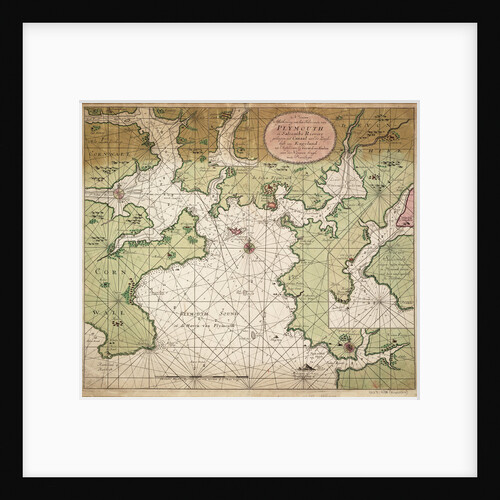
Chart of Plymouth Sound, from Greenville Collins's 1693 chart of the English Channel
Gerard van Keulen
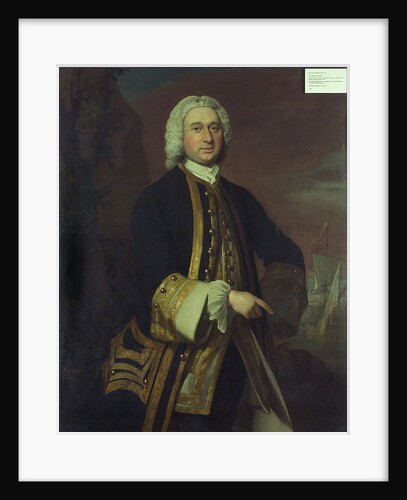
Captain William Gordon (circa 1709-1768)
Joseph Highmore
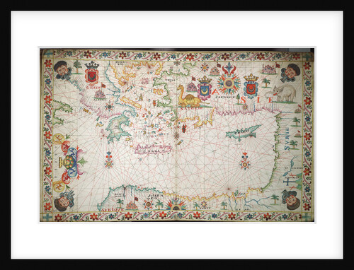
Chart of the eastern Mediterrean
unknown
Dover (1786)
Unknown
Calliope (1837), Andromache (1832)
Unknown
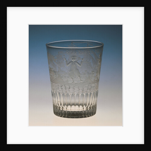
Tumbler, circa 1783
unknown
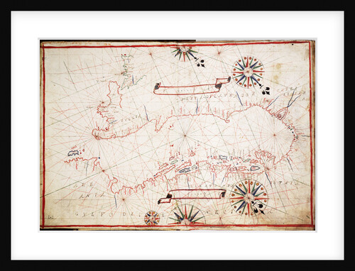
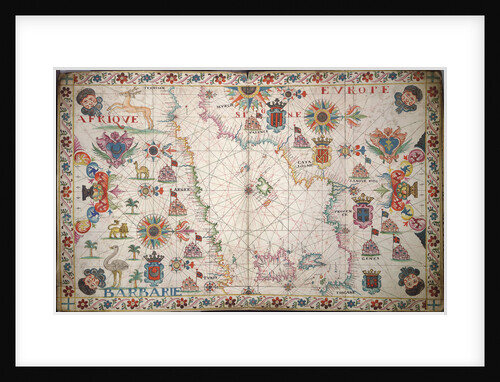
Chart of the western Mediterrean
unknown
'Lyme' (1748) [alternative spelling Lime]
Unknown
Inboard profile plan for HMS 'Andromeda' (1784)
Unknown
Chart of the north-east Atlantic, from Ireland to Cape Verde
unknown
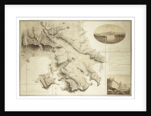
Plan of the environs of English Harbour, Antigua
John Brown
'Caesar' (1793)
Unknown
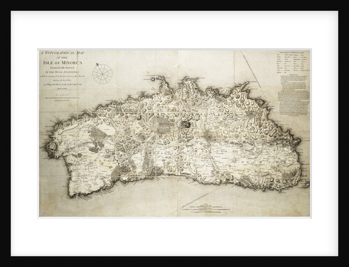
Map of Minorca, 1780
L. S. de la Rochette
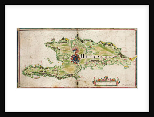
Map of Hispaniola, 1653
Nicholas Comberford
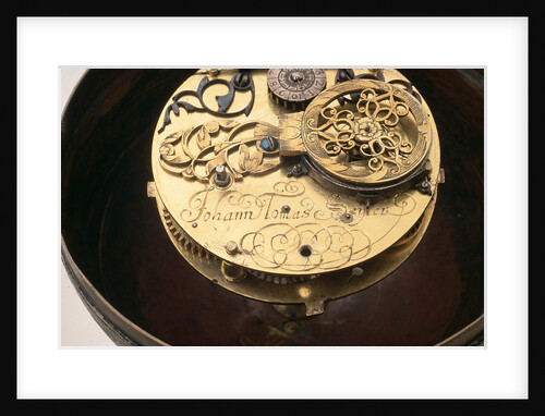
Watch movement and inscription
Johannes Janssonius
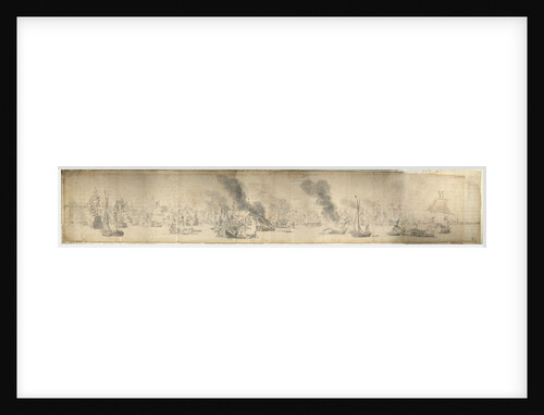
The Battle of the Sound, 29 October 1658
Willem van de Velde the Elder
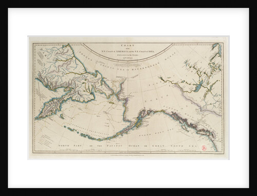
Cook's Third Voyage 1778-1779
William Faden
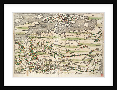
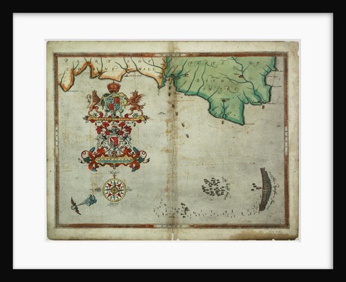
Map of central and northern Europe, 1493
Hieronymus Munzer
Argonaut (captured 1782)
Unknown
Timber carriage (circa 1786)
Unknown
1
2
Next »
Recently viewed
Clear history


!['Lyme' (1748) [alternative spelling Lime]](http://prints.rmg.co.uk/cdn/shop/products/j8267_60e2ab68-389f-427b-851c-07b977e5e13f_600x.jpg?v=1528803016)