Skip to main content
10% off your first order
☰ Menu
Basket icon
Wishlist icon
Account icon
Search icon
Search icon
Inspiration
Collections
Astrophotography
Battles and wars at sea
Children's
Exploration
Graphic designs
Greenwich
Historic figures
Historic vessels
Maps and charts
Photography
Pirates
Seascapes
Time and space
Natural history
World travel
Ship plans
Gift cards
Contact
Contact us
Newsletter
Search art & photography
Search icon
Circa 1722 prints
Showing 1 to 26 of 26
Search these images +
Search Circa 1722 images
'Kent' (1724); 'Grafton' (1725)
Unknown
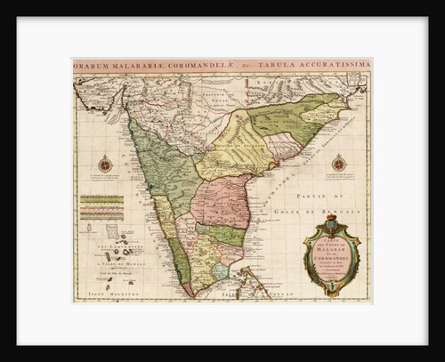
Chart of the Indian Ocean
Guillaume de L'Isle
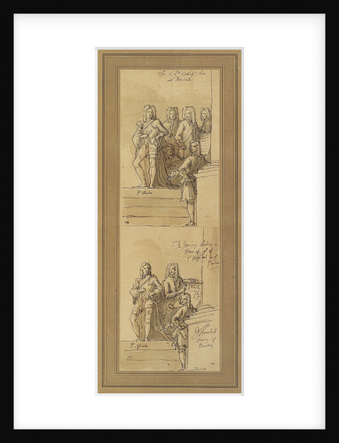
Sketches for the west wall of the Painted Hall, Greenwich
James Thornhill
'Burford' (1722); 'Berwick' (1723); 'Hampton Court' (1709)
Unknown
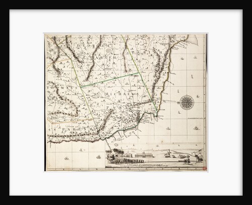
A new & exact map of the island of Barbados in America according to survey made in the years 1717...
William Mayo
A new & exact map of the island of Barbados in America according to survey made in the years 1717...
William Mayo
A new & exact map of the island of Barbados in America according to survey made in the years 1717...
William Mayo
John Benbow (1653-1702), Sir Ralph Delavalle (circa 1645-1707) and Thomas Phillips (circa 1635-1693)
Thomas Murray
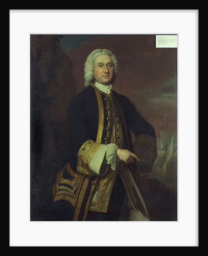
Captain William Gordon (circa 1709-1768)
Joseph Highmore
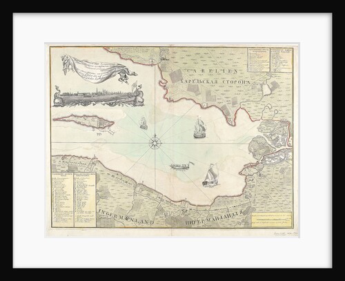
Chart of Cronstadt, circa 1720 (with key)
unknown
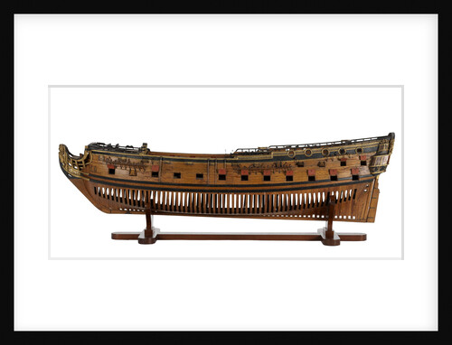
Cruizer (1752) [alternative spelling: Cruiser]
Unknown
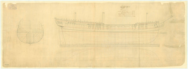
Preston (1742)
Unknown
Fly (1752)
Unknown
'Prince George' (1772)
Unknown
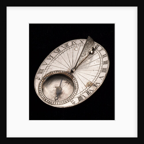
Horizontal dial
Philippe de Mewes
'Dragon' (1760); 'Superb' (1760); 'Bellona' (1760)
Unknown
Preston (1742)
Unknown
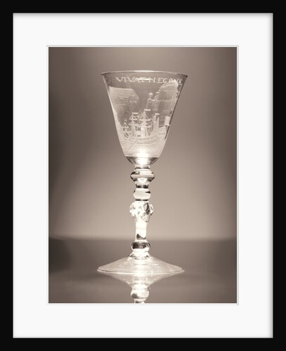
Goblet, circa 1720-1750
unknown
'Pearl' (1762)
Unknown
Warship (circa 1705)
unknown
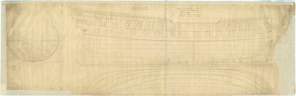
The lines and profile plans of the 'Centurion' (1732)
Unknown
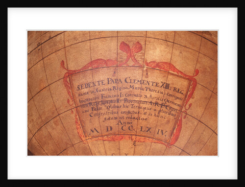
Cartouche
Unknown
Preston (1742)
Unknown
Carysfort (1766)
Unknown
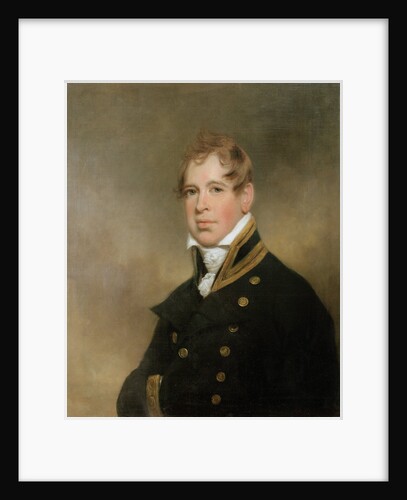
Sir William Beatty (circa 1770-1842)
Arthur William Devis
A new & exact map of the island of Barbados in America according to survey made in the years 1717...
William Mayo
Recently viewed
Clear history


![Cruizer (1752) [alternative spelling: Cruiser]](http://prints.rmg.co.uk/cdn/shop/products/j0070_bb340d87-34de-446f-b01a-fa86ecb7decc_600x.jpg?v=1528803018)