Skip to main content
10% off your first order
☰ Menu
Basket icon
Wishlist icon
Account icon
Search icon
Search icon
Inspiration
Collections
Astrophotography
Battles and wars at sea
Children's
Exploration
Graphic designs
Greenwich
Historic figures
Historic vessels
Maps and charts
Photography
Pirates
Seascapes
Time and space
Natural history
World travel
Ship plans
Gift cards
Contact
Contact us
Newsletter
Search art & photography
Search icon
G201:4/1 prints
Showing 1 to 17 of 17
Search these images +
Search G201:4/1 images
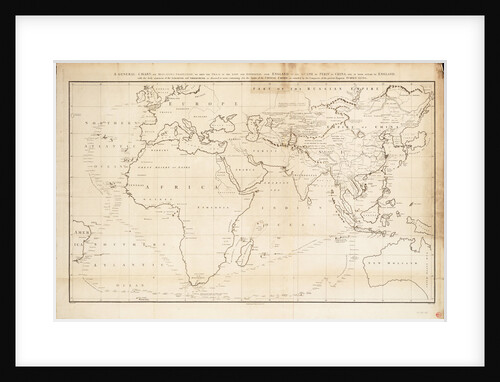
A general chart on Mercators projection to show the track of the 'Lion' and 'Hindostan' from England to the Gulph...
John Barrow
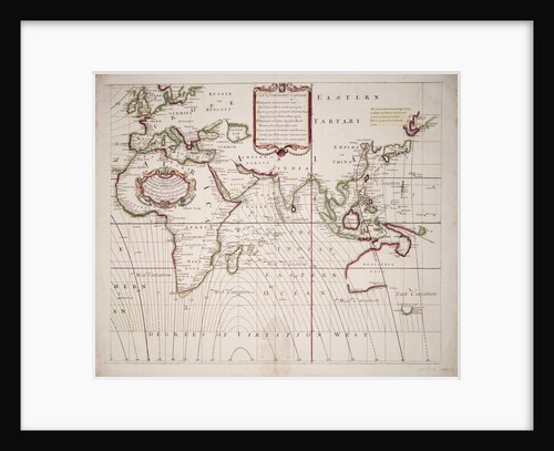
A new and correct sea chart of the whole world showing the variations of the compass as they were found...
Edmond Halley
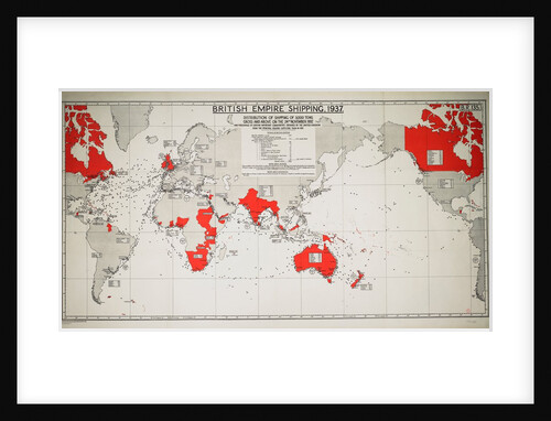
British Empire Shipping 1937
Unknown
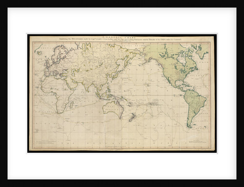
A general chart exhibiting the discoveries made by Captain James Cook in this and his two preceding voyages with the...
Lieutenant Henry Roberts
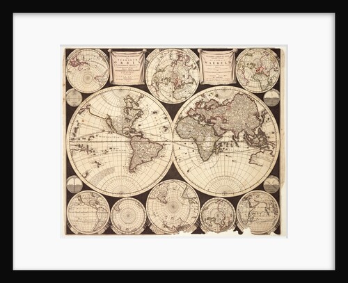
Planisphaerium terrestre sive terrarum orbis
Carel Allard
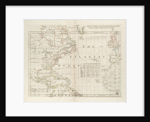
Chart of the Atlantic Ocean, with the British, French & Spanish settlements in North America and the West Indies
Thomas Jefferys
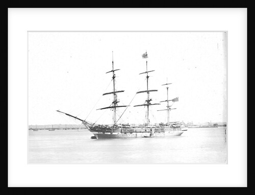
'Sussex' (Br, 1852)
unknown
A new and correct sea chart of the whole world showing the variations of the compass as they were found...
Edmond Halley
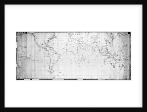
A general chart for the purpose of pricking off ship's track from England southward and round the world (detail)
J.S. Hobbs
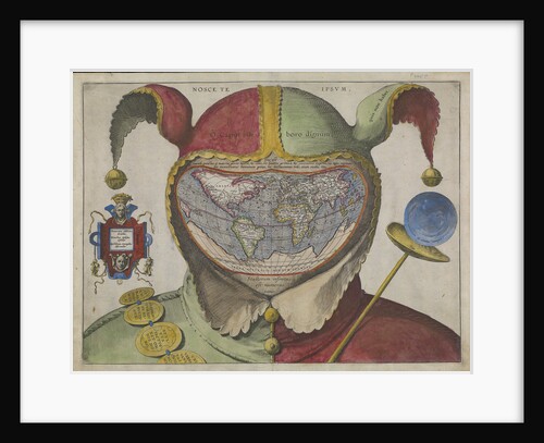
Fool's map of the world
Unknown
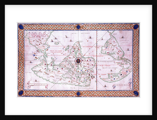
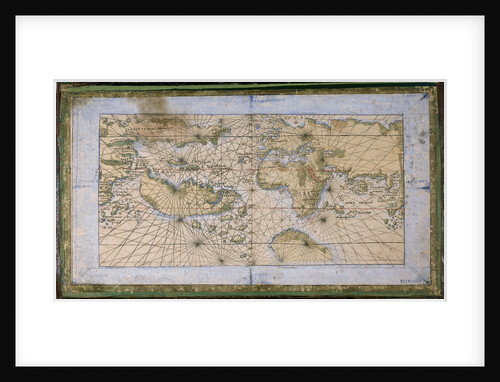
World chart by Pierre Hamon, 1568
Pierre Hamon
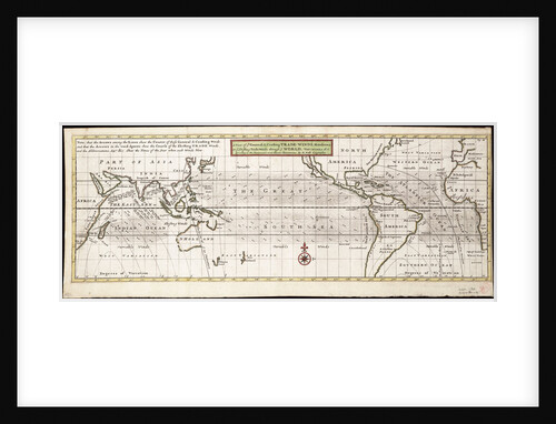
A view of ye general and coasting trade-winds, monsoons or ye shifting trade winds through ye world, variations... according to...
Herman Moll
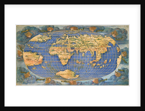
World planisphere
Francesco Rosselli
Planisphere world map by Francesco Rosselli, around 1508
Francesco Rosselli
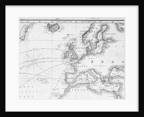
Outline chart intended for officers to prick off a ship's track
J. W. Norie
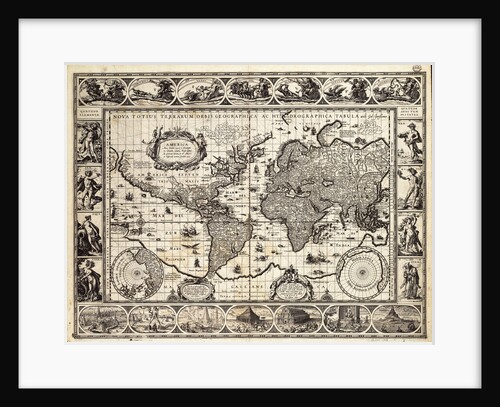
Mercator map of the world, 1606
W.J. Blaeu
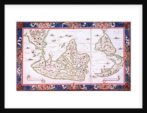
World map, 1567
Nicholas des Liens
Recently viewed
Clear history