Skip to main content
10% off your first order
☰ Menu
Basket icon
Wishlist icon
Account icon
Search icon
Search icon
Inspiration
Collections
Astrophotography
Battles and wars at sea
Children's
Exploration
Graphic designs
Greenwich
Historic figures
Historic vessels
Maps and charts
Photography
Pirates
Seascapes
Time and space
Natural history
World travel
Ship plans
Gift cards
Contact
Contact us
Newsletter
Search art & photography
Search icon
G235:1/3 prints
Showing 1 to 5 of 5
Search these images +
Search G235:1/3 images
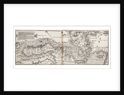
Vavassore chart of the Mediterranean Sea, believed to be the earliest surviving printed chart, 1541
Giovanni Andrea Di Vavassore
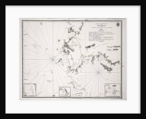
Chart of the Promontory of Boodroom with the Karabaghla Islands and the North Point of the Island of Kos ......
Francis Beaufort
Chart of the Suez Canal, 1870-1871
Hydrographic Office
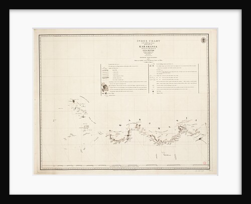
Index chart to the following survey of the coast of Karamania
Francis Beaufort
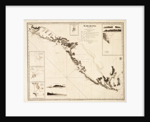
Karamania Chart III from Cape Karaboornoo to Cape Anamour
Francis Beaufort
Recently viewed
Clear history