Skip to main content
10% off your first order
☰ Menu
Basket icon
Wishlist icon
Account icon
Search icon
Search icon
Inspiration
Collections
Astrophotography
Battles and wars at sea
Children's
Exploration
Graphic designs
Greenwich
Historic figures
Historic vessels
Maps and charts
Photography
Pirates
Seascapes
Time and space
Natural history
World travel
Ship plans
Gift cards
Contact
Contact us
Newsletter
Search art & photography
Search icon
Gren85/8 prints
Showing 1 to 12 of 12
Search these images +
Search Gren85/8 images
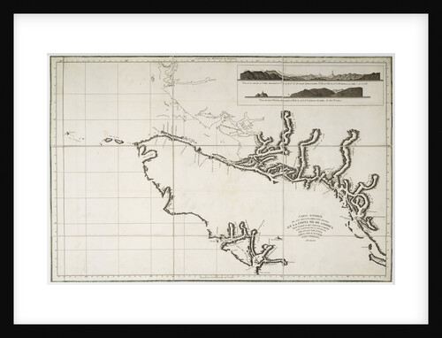
Nautical Chart of surveys made in 1792 of America to examine the entrance of Juan de Fuca
Deposito Hydrografico
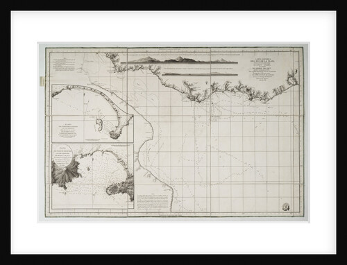
Chart of South America and the Atlantic Coast
Juan de Langara
Map of Chile, Patagonia, Tierra del Fuego and the Falkland Islands
Juan de Langara
Montevideo
unknown
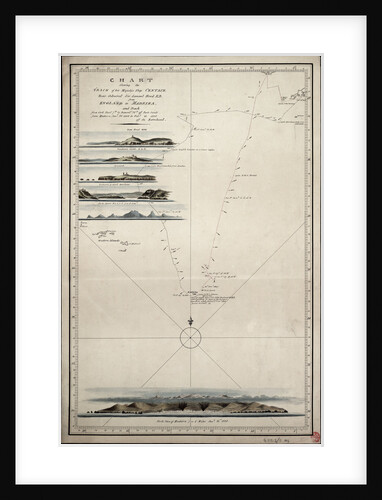
Chart showing the track of His Majesty's ship 'Centaur' (1797) from England to Madeira and back
Anonymous
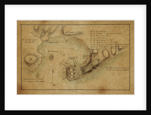
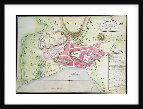
Plan of Jacmel town with fortifications
Sorrel
Map of South America
Herman Moll
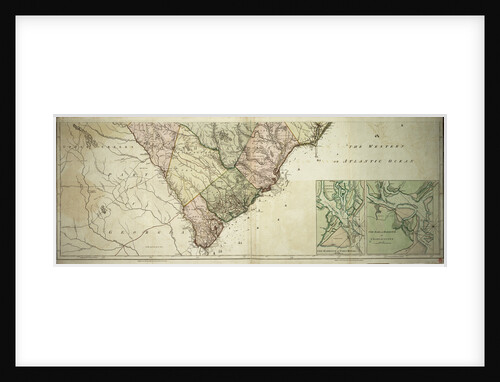
Map of North and South Carolina
Sayer & Bennett
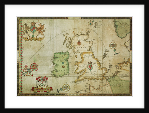
The route track of the Spanish Armada through the English Channel, into the North Sea, around Northern Scotland and into...
Robert Adams
Map of North and South Carolina
Sayer & Bennett
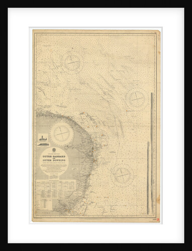
England East Coast: Outer Gabbard to Outer Dowsing
British Admiralty
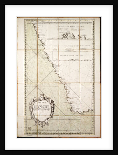
Map of the southwest of Africa, 18th century
Departement de la Marine
Recently viewed
Clear history