Skip to main content
10% off your first order
☰ Menu
Basket icon
Wishlist icon
Account icon
Search icon
Search icon
Inspiration
Collections
Astrophotography
Battles and wars at sea
Children's
Exploration
Graphic designs
Greenwich
Historic figures
Historic vessels
Maps and charts
Photography
Pirates
Seascapes
Time and space
Natural history
World travel
Ship plans
Gift cards
Contact
Contact us
Newsletter
Search art & photography
Search icon
Segmented and backed single sheet engraving prints
Showing 1 to 48 of 73
Search these images +
Search Segmented and backed single sheet engraving images
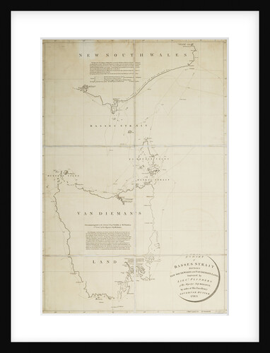
A chart of Basses Straight between New South Wales and Van Diemans Land surveyed by Lieut. Flinders of HMS 'Reliance',...
Matthew Flinders
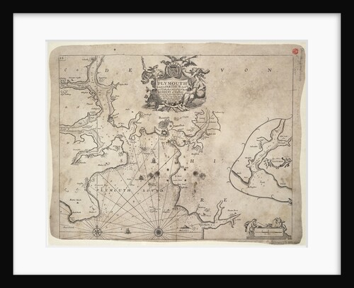
Plymouth
Greenvile Collins
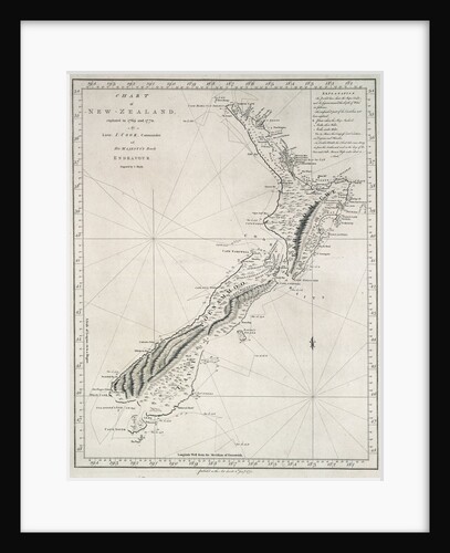
Chart of New Zealand, explored in 1769 and 1770 by Lieutenant J.Cook, Commander of His Majesty's Bark Endeavour
James Cook
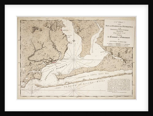
A chart of the bay and harbour of Pensacola in the province of West Florida
J.F.W. Des Barres
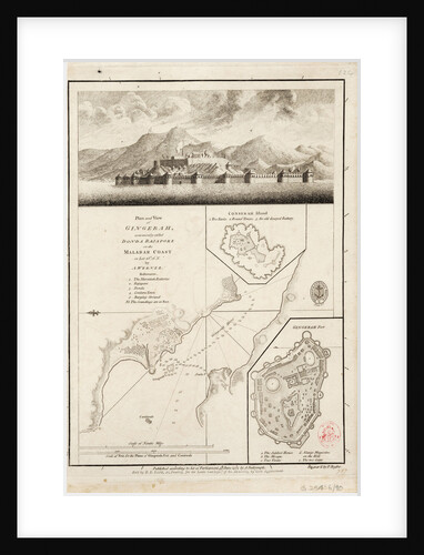
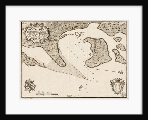
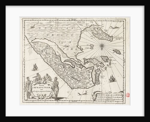
Plan and view of Gingerah
A. Werner
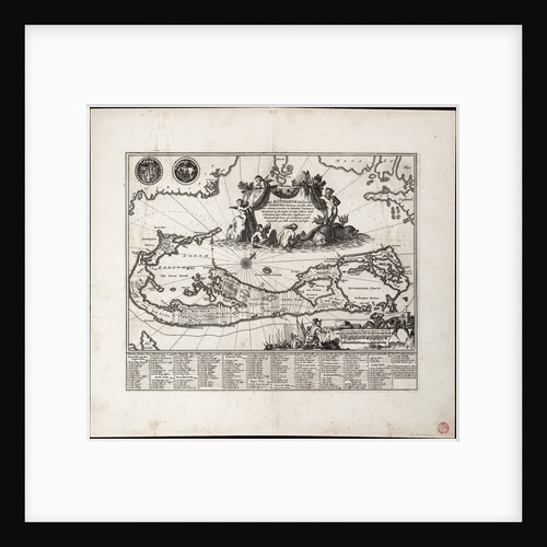
Mappa Aestivarum Insularum, alias Barmudas dictarum. Single sheet, engraving.
Unknown
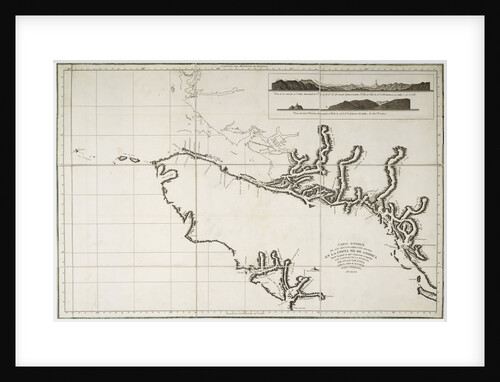
Draught of the Island Rattan in the bay of Honduras in latitude 16 degrees 22' north by Lieutenant Henry Barnsley...
Henry Barnsley
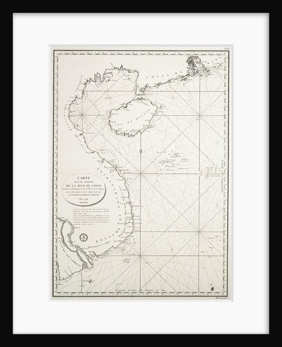
Carte d'une partie de la Mer de Chine dressee au Depot des Cartes et Plans de la Marine, sur les...
Depot Generale de la Marine
An outline chart, for the purpose of marking off the track of a ship, 1829
Blachford & Co; Blachford & Imray
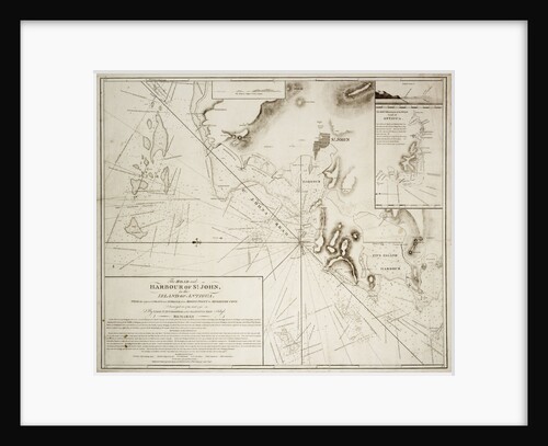
The road and harbour of St. John in the Island of Antigua
EH Columbine
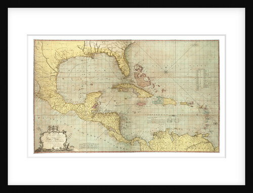
Chart of the West Indies
Joseph Smith Speer
South China Sea
Pedro Manuel de Arandia
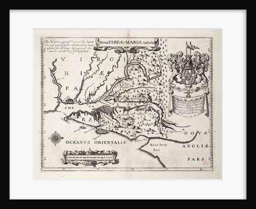
Map of Nova Terrae-Mariae tabula
John Ogilby
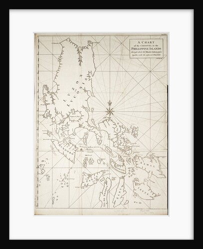
A chart of the channel in the Phillippine Islands through which the Manila Galeon passes together with the adjacent islands
RW Seale
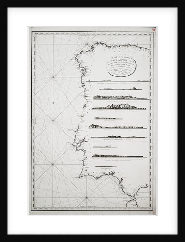
Chart of the coasts of Spain and Portugal, from Cape Pinas to the Strait of Gibraltar, constructed and carefully drawn...
P Steel
Bay of Bengal
Anonymous
A chart of the islands in the China Sea near the Straits of Malacca with the positions of the English...
William Daniell
Nautical Chart of surveys made in 1792 of America to examine the entrance of Juan de Fuca
Deposito Hydrografico
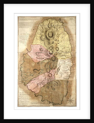
Plan of the Island of St Vincent laid down by actual survey, 1776
John Byres
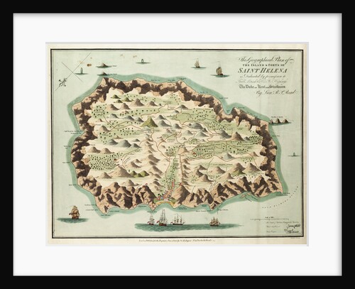
This geographical plan of the Island of Saint Helena is dedicated by permission to Field Marshal His Royal Highness the...
R.M. P. Read
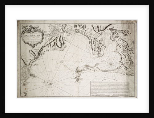
Hydrographic chart of the Bay of Cadiz
Jacques Nicolas Bellin
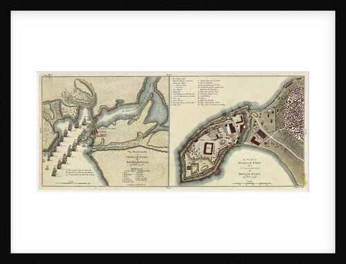
Plan of the attack made on Geriah Fort by Rear Admiral Watson, 13 February 1756
T. Jefferys
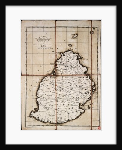
Carte de l'Isle de France levee geometriquement par Mr. l'Abbe de la Caille, de l'Academie Royale des Sciences, en 1753
Ll'Abbe de la Caille
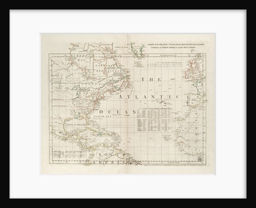
Chart of the Atlantic Ocean, with the British, French & Spanish settlements in North America and the West Indies
Thomas Jefferys
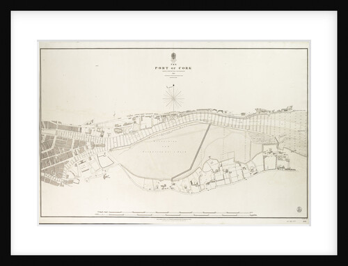
Ireland south coast, the port of Cork surveyed by Commander James Wolfe & Lieutenant W.H.Church R.N.,1843
Commander James Wolfe
Captain Back, R.N
S. Russell
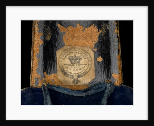
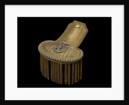
Epaulette - underside
Widdowson & Veale
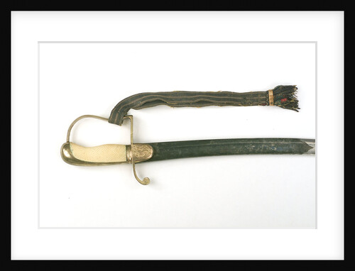
Light Cavalry-type sword
Hill & Yardley
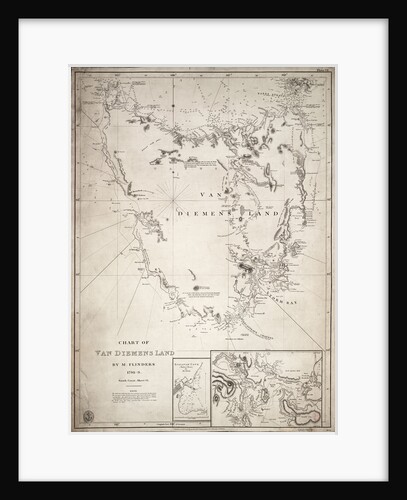
Chart of Van Diemens Land, sheet VI
Matthew Flinders
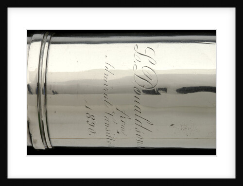
Officer of the Watch telescopic- sun shade inscription
Unknown
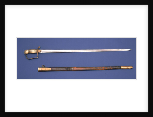
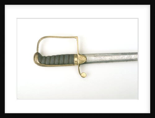
Stirrup hilted sword
Drury & Son
Straight stirrup hilted 'fighting' sword
Neck
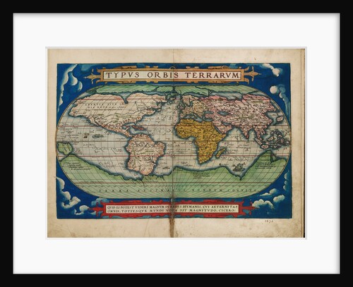
Typus Orbis Terrarum (Image of the globe of the world)
Unknown
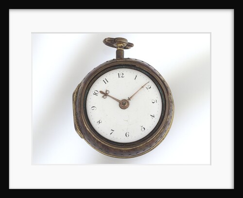
Watch
James Smith
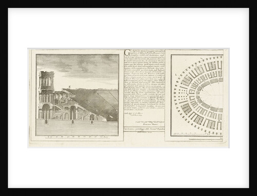
Design for an arena
Adriano Cristofoli
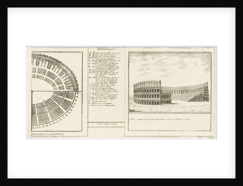
Design for an arena
Adriano Cristofoli
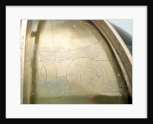
Watch
John Denton
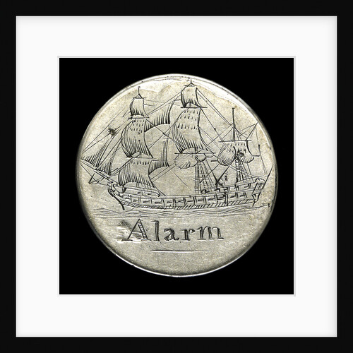
Engraved commemorative coin; reverse
Unknown
Saggitarius with a fishtail
unknown
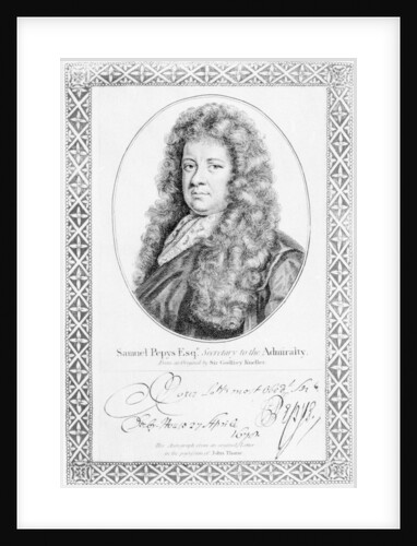
Samuel Pepys
Godfrey Kneller
Epaulette
Widdowson & Veale
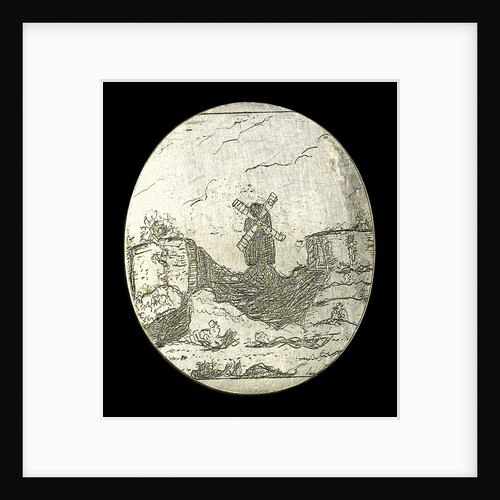
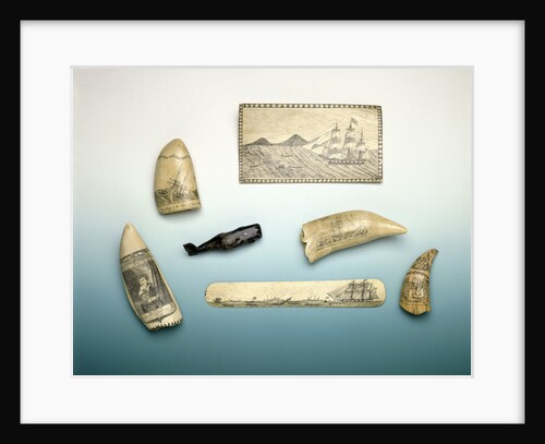
Engraved sperm whale's tooth
unknown
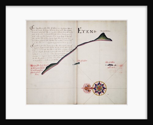
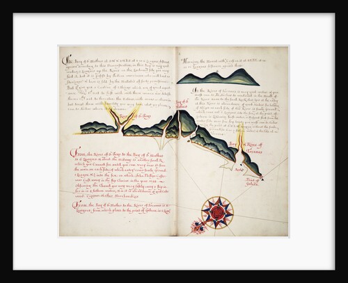
Eten
William Hack
Engraved commemorative coin; obverse
Unknown
Bahia San Mateo
William Hack
Isle of Juan Fernandes
William Hack
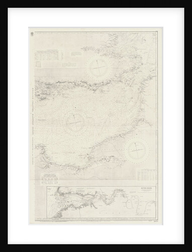
English Channel: Eastern Sheet
unknown
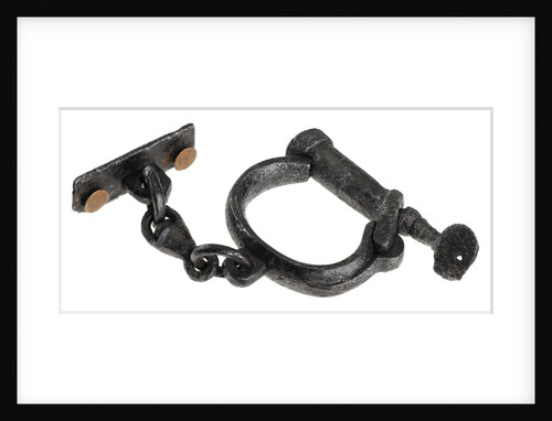
Single handcuff
unknown
1
2
Next »
Recently viewed
Clear history