Skip to main content
10% off your first order
☰ Menu
Basket icon
Wishlist icon
Account icon
Search icon
Search icon
Inspiration
Collections
Astrophotography
Battles and wars at sea
Children's
Exploration
Graphic designs
Greenwich
Historic figures
Historic vessels
Maps and charts
Photography
Pirates
Seascapes
Time and space
Natural history
World travel
Ship plans
Gift cards
Contact
Contact us
Newsletter
Search art & photography
Search icon
British Admiralty
Showing 1 to 48 of 1000
England East Coast
British Admiralty
England East Coast
British Admiralty
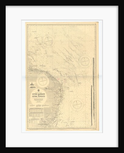
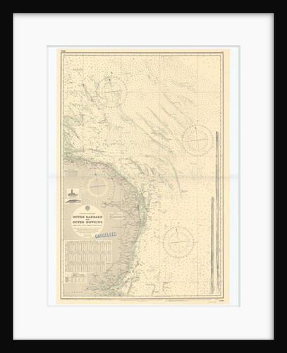
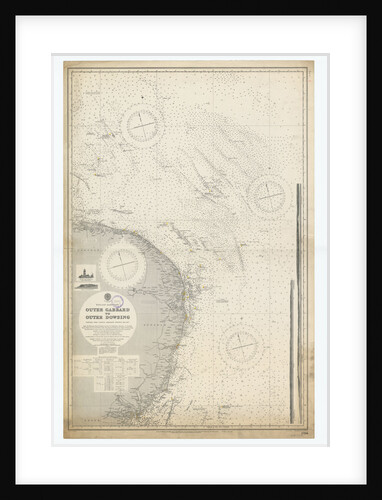
England-East Coast. Outer Gabbard to Outer Dowsing
British Admiralty
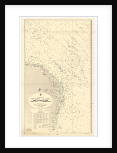
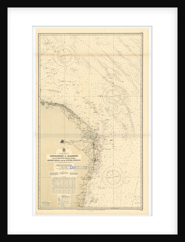
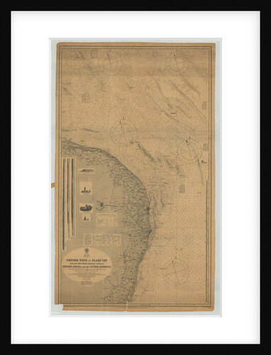
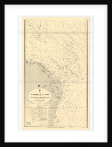
England East coast Orfordness to Blakeney with the off lying shoals between Smith's Knoll and the Outer Dowsing
British Admiralty
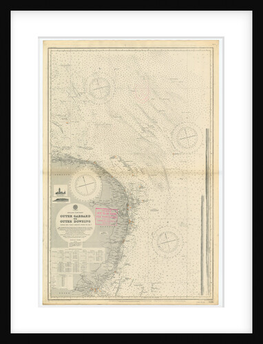
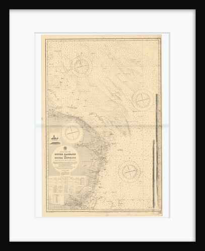
England-East Coast. Outer Gabbard to Outer Dowsing
British Admiralty
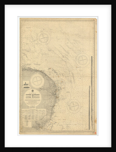
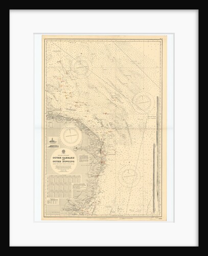
England-East Coast. Outer Gabbard to Outer Dowsing
British Admiralty
England East Coast: Outer Gabbard to Outer Dowsing
British Admiralty
England-East Coast. Outer Gabbard to Outer Dowsing
British Admiralty
England-East Coast. Outer Gabbard to Outer Dowsing
British Admiralty
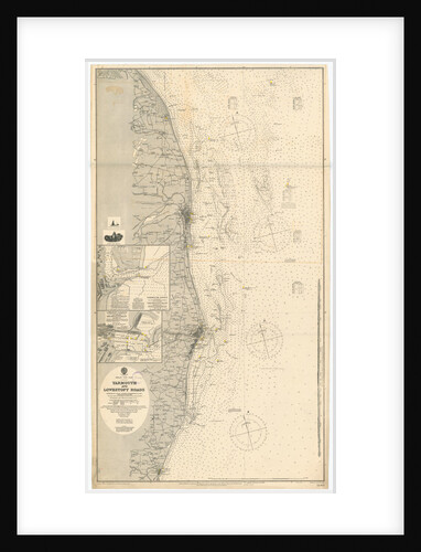
Yarmouth and Lowestoft
British Admiralty
England-East Coast. Outer Gabbard to Outer Dowsing
British Admiralty
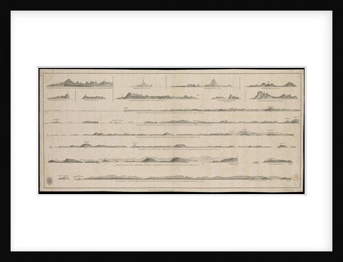
Views of Gujarat coast (lie of the land)
British Admiralty
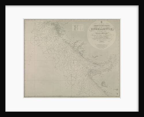
Chart of Sindh and Kutch coasts
British Admiralty
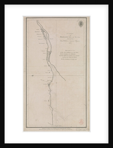
A chart of Broach Bar and river surveyed by Lieut WIlliam Augustus Skynner 1773
British Admiralty
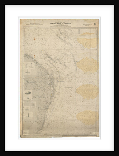
England East Coast: Orford Ness to Crome
British Admiralty
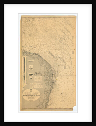
Orford Ness to Blakeney with the off lying shoals between Smiths Knoll and the other Dowsing
British Admiralty
Orford Ness to Blakeney with the off lying shoals between Smiths Knoll and the other Dowsing
British Admiralty
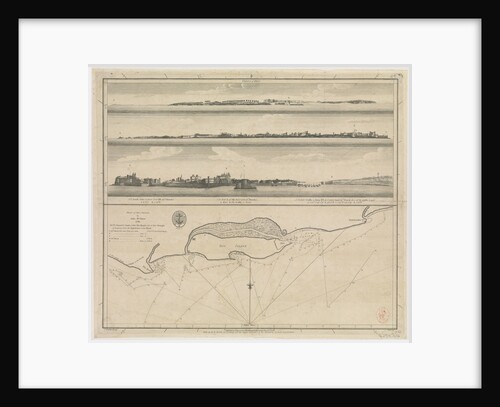
Plan of Diu Island by John McCluer 1788
British Admiralty
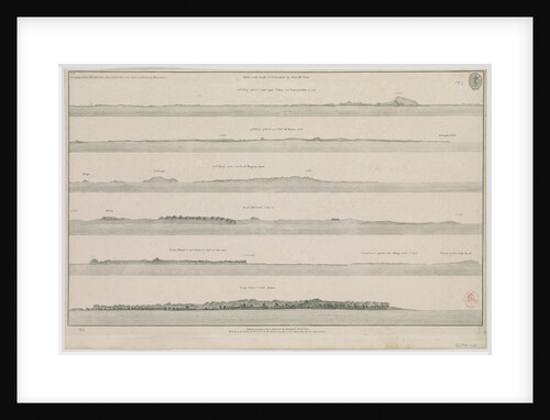
Views on the coast of Guzarat by John McCluer Pl 8 belonging to Lieut John McCluer's description of the Coast...
British Admiralty
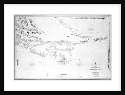
South America the south-eastern part of Tierra del Fuego with Staten Island, Cape Horn and Diego Ramirez Islands
British Admiralty
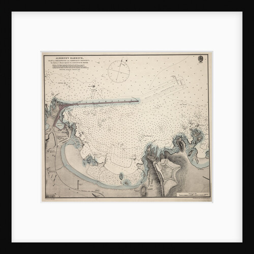
Alderney Harbour, plan of breakwater and Admiralty property
British Admiralty Hydrographic Office
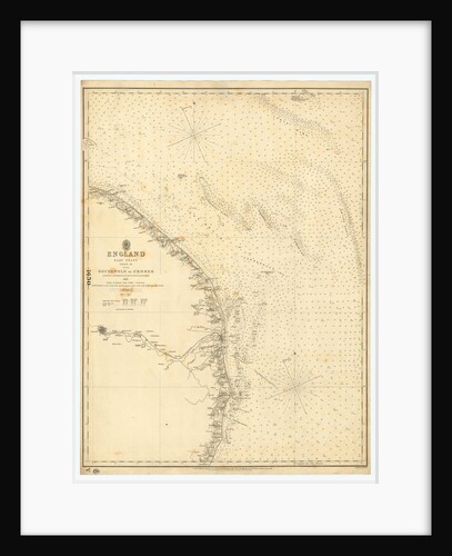
England East Coast: Southwolds to Cromer
British Admiralty
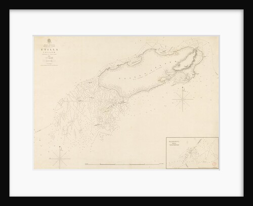
West Indies Mosquito Coast Utilla Island surveyed by Commander R. Owen 1835
British Admiralty
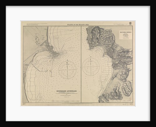
Plans in the Black Sea
British Admiralty; Malby & Sons; Sir C.A. Hartley CE; Vice-Admiral Thomas A.B. Spratt
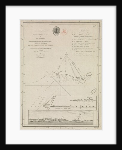
Chart of part of the coasts of Cutch and Guzarat by J G Richardson... communicated by Capt Archibald Blair to...
British Admiralty
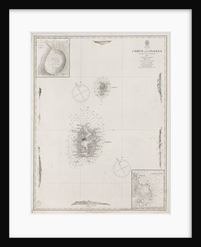
Azores Corvo and Flores. Surveyed by Capt. A.T.E Vidal R.N 1844.
British Admiralty
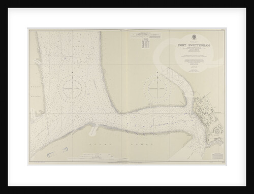
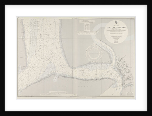
A chart of Port Swettenham
unknown
A chart of Port Swettenham
unknown
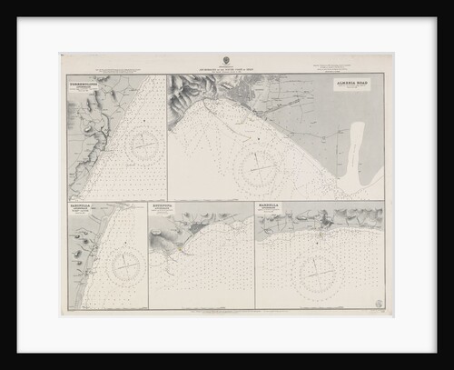
Mediterranean anchorages on the south coast of Spain from Spanish Government surveys of 1891
British Admiralty
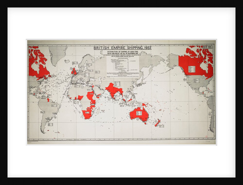
British Empire Shipping 1937
Unknown
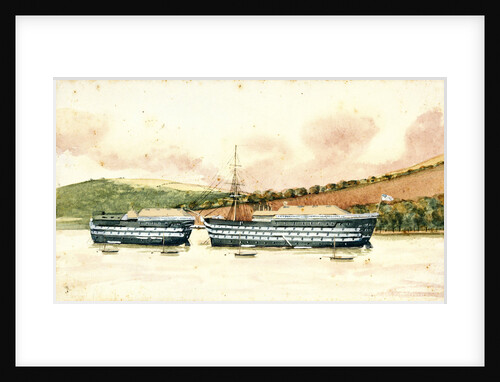
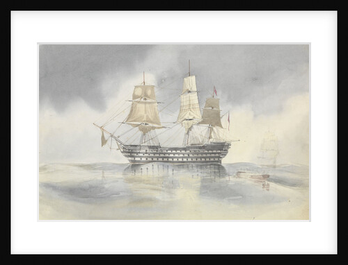
HMS 'Britannia'
J.B.
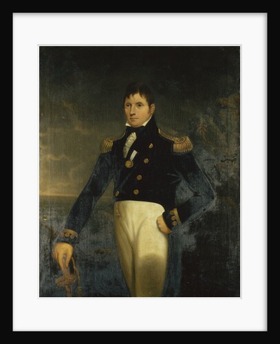
Rear-Admiral Sir Eliab Harvey (1758-1830)
Lemuel Francis Abbott
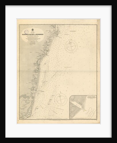
Parkefield Gateway to Orford Ness
unknown
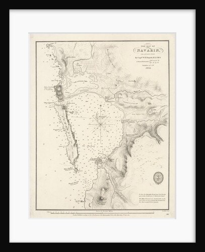
Bay of Navarino
William Henry Smyth
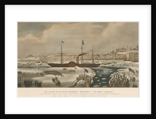
SS 'Britannia'
unknown
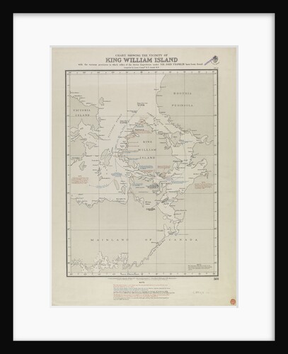
Gould map of King William Island, where Franklin relics were found
Gould
British Empire shipping 1937: distribution of shipping of 3,000 tons gross and above on 24 November 1937
Admiralty
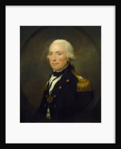
Rear-Admiral Sir Robert Calder (1745-1815)
Lemuel Francis Abbott
Britannia
unknown
'Adamant' (1780); 'Assistance' (1781); 'Europa' (1783); 'Bristol' (1775); 'Portland' (1770); 'Renown' (1774)
Unknown
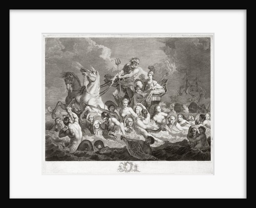
Triumph of Britannia
Francis Hayman
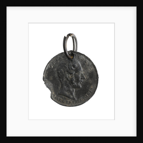
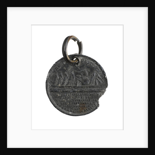
SS 'Great Britain' medal
unknown
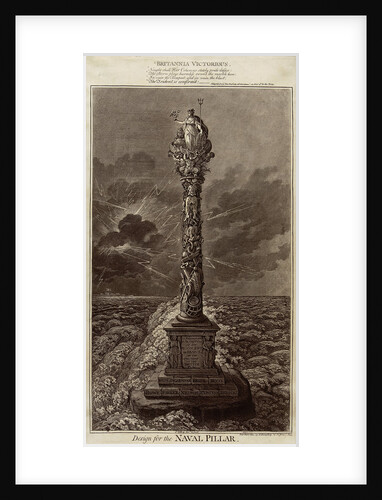
Britannia Victorious... Design for the Naval Pillar
James Gillray
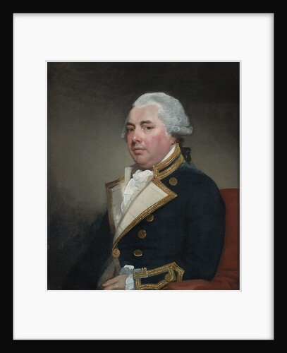
Captain Sir William Abdy, Bt (circa 1735-1803)
Gilbert Stuart
'Britannia' hove to in a calm to receive a boat, probably near Cape Carthage, flying the flag of Rear-Admiral Dundas,...
George Pechell Mends
SS 'Great Britain' medal
unknown
This View of the Capture of Amoy, on the Coast of China, on the 26th August, 1841; by Her Majesty's...
Capt R. B. Crawford [artist]; Henry Papprill [engraver]; Rudolph Ackermann [publishers]
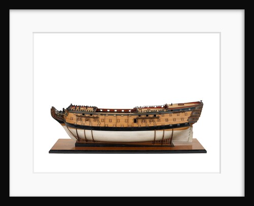
'Victory', port broadside
unknown
1
2
3
…
21
Next »
Recently viewed
Clear history

![This View of the Capture of Amoy, on the Coast of China, on the 26th August, 1841; by Her Majesty's Combined Forces, under Vice Admiral Sir William Parker K.C.B. and Lieut. General Sir Hugh Gough... Plate 2 by Capt R. B. Crawford [artist]; Henry Papprill [engraver]; Rudolph Ackermann [publishers]](https://previews.magnoliabox.com/nmm/flat/s4961/MUS-CFPM-18X24_black_500.jpg)