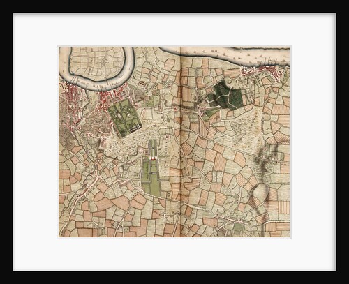
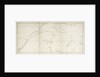
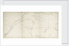
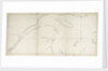
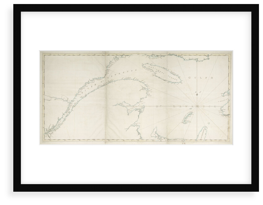
Map of the Gulf and River of St Lawrence
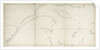

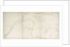
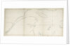
Image information
Sizing information
| Overall size (inc frame) | x cm ( x in) |
| Depth | cm (in) |
| Artwork | x cm ( x in) |
| Border (mount) |
cm
top/bottom
(in)
cm left/right (in) |
| The paper size of our wall art shipped from the US is sized to the nearest inch. | |

Map of the Gulf and River of St Lawrence
Three sheets. Scale: circa 1:500 000 (latitude). Cartographic Note: Variation not shown. Border yellow, coast outlined in blue. Page number '5' type-stamped overleaf.
Joseph Frederick Wallet Des Barres
Original size: Plate impressions: 760 mm x 535 mm, 755 mm x 525 cm and 760 mm x 535 mm
- Image reference: K0815
- National Maritime Museum, Greenwich, London
Discover more
More by this artist
Joseph Frederick Wallet Des Barres
Explore the collection
Search for similar images
Product images of Map of the Gulf and River of St Lawrence


Our framed prints
Every framed picture is created by hand in our workshop by specialist framers.
Black, white, brown, silver, gold or natural frames available, supplied ready to hang.
All our frames have a smooth satin finish, and measure 20mm (front face) by 23mm (depth from wall).
Read more about our framed art prints.
Manufactured in the UK
All products are printed in the UK, using the latest digital presses and a giclée printmaking process.
We only use premium branded inks, and colours are independently verified to last between 100 and 200 years.
Delivery & returns
We print everything to order so delivery times may vary but all framed pictures are despatched within 5-7 days via courier or recorded mail.
Due to the coronovirus pandemic and Brexit situation, current shipping times may be longer, particularly for destinations outside the UK.
Delivery to the UK is £10 for a single framed print.
We will happily replace your order if everything isn’t 100% perfect.