Skip to main content
10% off your first order
☰ Menu
Basket icon
Wishlist icon
Account icon
Search icon
Search icon
Inspiration
Collections
Astrophotography
Battles and wars at sea
Children's
Exploration
Graphic designs
Greenwich
Historic figures
Historic vessels
Maps and charts
Photography
Pirates
Seascapes
Time and space
Natural history
World travel
Ship plans
Gift cards
Contact
Contact us
Newsletter
Search art & photography
Search icon
G246:1/3 prints
Showing 1 to 15 of 15
Search these images +
Search G246:1/3 images
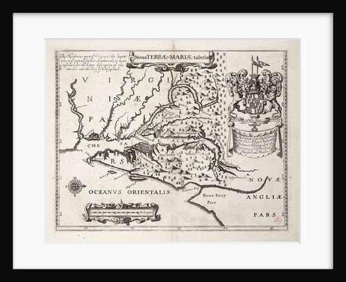
Map of Nova Terrae-Mariae tabula
John Ogilby
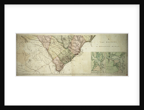
Chart of southern United States showing Mississippi river and Saint Louis
unknown
A plan of the operations of the King's army under the command of General Sr William Howe KB in New...
Claude Joseph Sauthier
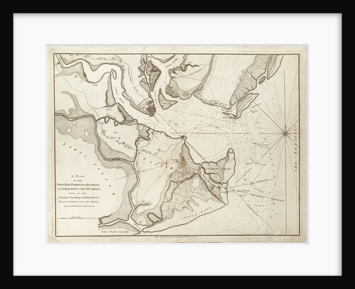
Plan of Charlestown, South Carolina, 1780
William Faden
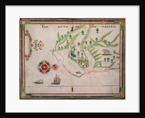
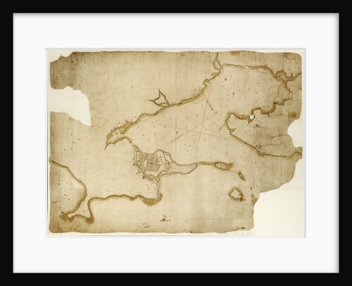
The south part of Virginia, 1657
Nicholas Comberford
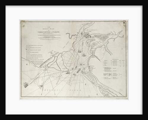
An exact plan of Charles Town bar and harbour, from an actual survey with the attack of Fort Sullivan, on...
Sayer & Bennett
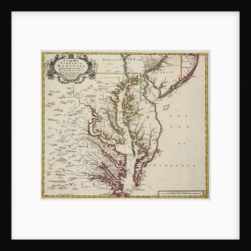
Map of Virginia
John Senex
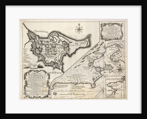
Louisburg fortress and harbour, Cape Breton
unknown
The south part of Virginia. Made by Nicholas Comberford dwelling in Redcliffe, anno 1657
Nicholas Comberford
A plan of the city and harbour of Louisburg, Cape Breton
J. Hinton
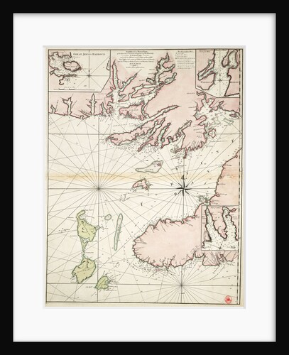
Part of south coast of Newfoundland including Fortune Bay
James Cook
Map of North and South Carolina
Sayer & Bennett
Map of North and South Carolina
Sayer & Bennett
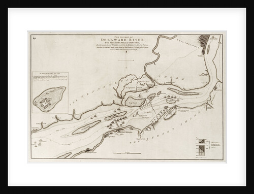
The course of Delaware River from Philadelphia to Chester, North America
Wiiliam Faden
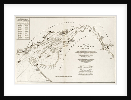
A chart of Delaware Bay and river, containing a full and exact description of the shores, creeks, harbours, soundings, shoals,...
Andrew Dury
Recently viewed
Clear history