Skip to main content
10% off your first order
☰ Menu
Basket icon
Wishlist icon
Account icon
Search icon
Search icon
Inspiration
Collections
Astrophotography
Battles and wars at sea
Children's
Exploration
Graphic designs
Greenwich
Historic figures
Historic vessels
Maps and charts
Photography
Pirates
Seascapes
Time and space
Natural history
World travel
Ship plans
Gift cards
Contact
Contact us
Newsletter
Search art & photography
Search icon
G285:1/1 prints
Showing 1 to 10 of 10
Search these images +
Search G285:1/1 images
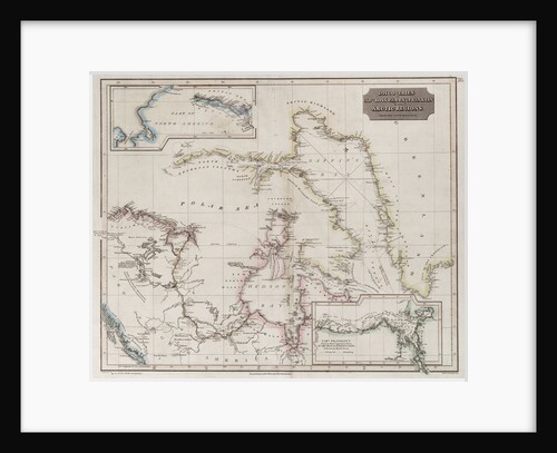
Chart showing discoveries of Ross, Parry and Franklin in the Arctic during 1818-1827
Thomson
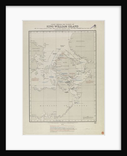
Gould map of King William Island, where Franklin relics were found
Gould
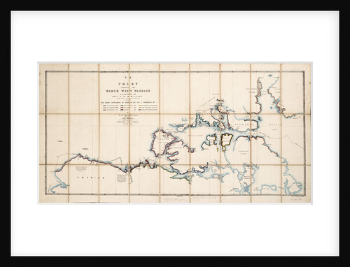
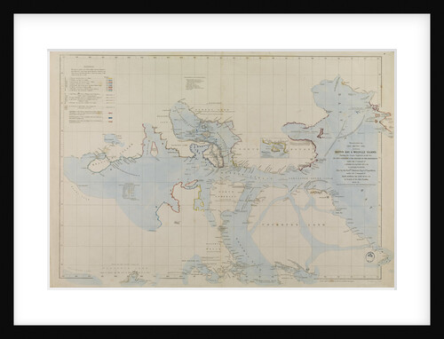
Chart showing the North West Passage discovered by Captain R. Le M. McClure, HMS 'Investigator'
E.A. Inglefield
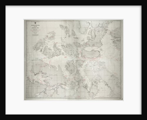
Discoveries in the Arctic Sea 1616-1927 Reproduction of former Admiralty chart no. 2118 published 1855, with corrections to 1927. Additional...
HM Admiralty
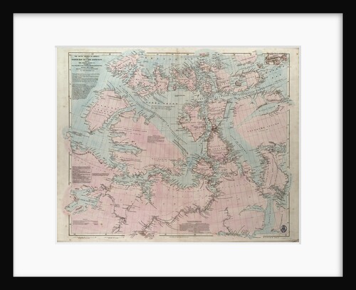
Discoveries in the Arctic Sea between Baffin Bay and Melville Island
John Arrowsmith
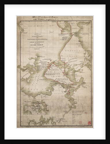
Enlarged plan of Erebus and Terror Bay - The winter quarters of Sir John Franklin
John Arrowsmith
Sketch of discoveries on the northern coast of America by Captain McClintock RN in search of Sir John Franklin
James Wyld
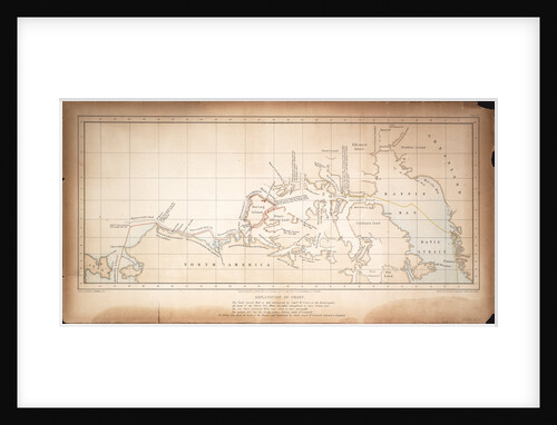
The Arctic shores of America from Baffin Bay to Cape Bathurst, showing the coasts and rivers explored by the officers...
John Arrowsmith
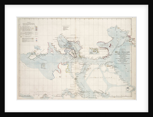
Chart of the search for Sir John Franklin and discovery of the North West Passage
Edward Augustus Inglefield
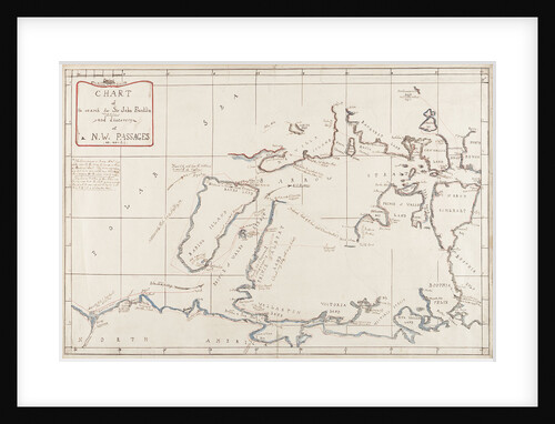
Chart of the North West Passage
S. Gurney Cresswell; Day & Son
Recently viewed
Clear history