Skip to main content
10% off your first order
☰ Menu
Basket icon
Wishlist icon
Account icon
Search icon
Search icon
Inspiration
Collections
Astrophotography
Battles and wars at sea
Children's
Exploration
Graphic designs
Greenwich
Historic figures
Historic vessels
Maps and charts
Photography
Pirates
Seascapes
Time and space
Natural history
World travel
Ship plans
Gift cards
Contact
Contact us
Newsletter
Search art & photography
Search icon
Circa 1545 prints
Showing 1 to 48 of 232
Search these images +
Search Circa 1545 images
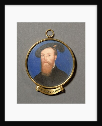
Thomas Seymour, Lord Seymour of Sudeley (circa 1508-1549)
unknown
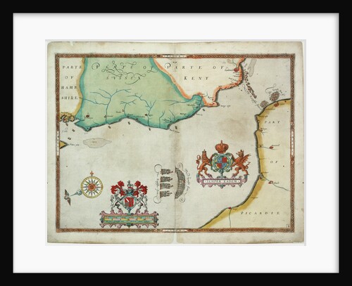
Map of 'The pursuit to Calais, 4 - 6 August 1588'
Robert Adams; Augustine Ryther
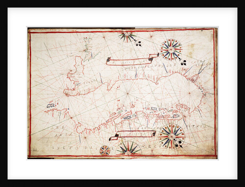
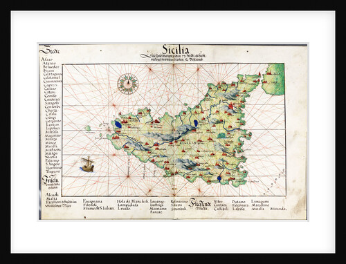
Chart of Sicily, 1554
Battista Agnese
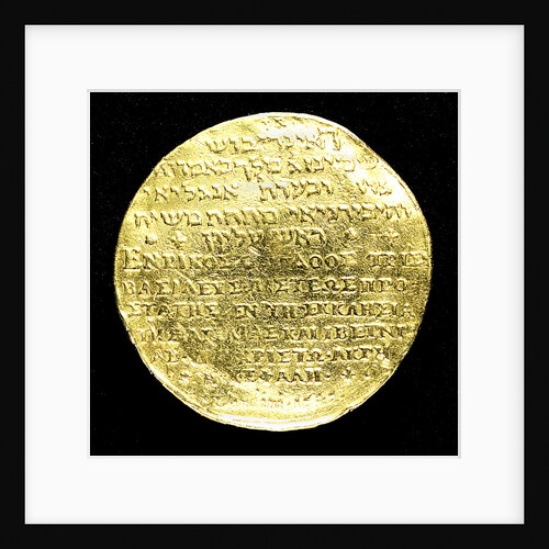
Medal commemorating the supremacy of the church, 1545; reverse
H.R.
'Yarmouth' (1745); 'Guadeloupe' (1763)
Unknown
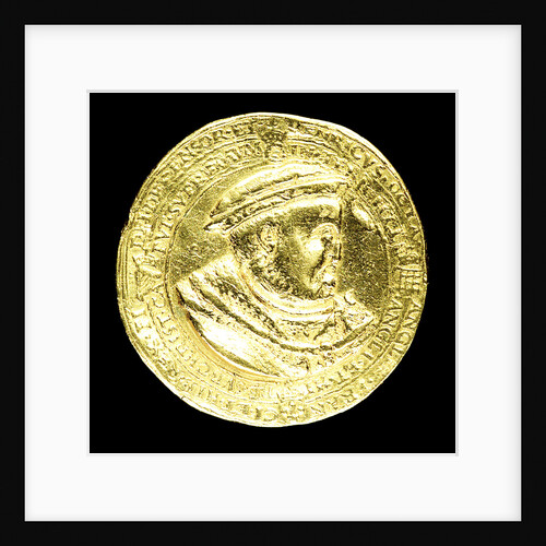
Medal commemorating the supremacy of the church, 1545; obverse
H.R.
Devonshire (1745)
Unknown
Anne of Denmark, 1574
John de Critz
'Northumberland' (1744)
Unknown
'Amazon' (captured 1745); 'Myrmidon' (1781)
Unknown
'Assistance' (1747); 'Greenwich' (1748); 'Tavistock' (1747)
Unknown
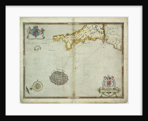
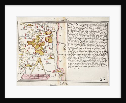
16th century map of county Limerick, Ireland
Anonymous
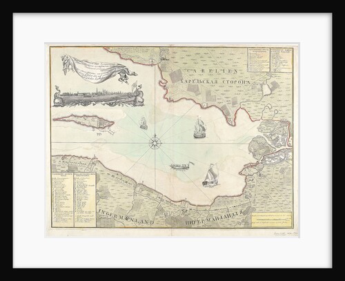
Chart of Cronstadt, circa 1720 (with key)
unknown
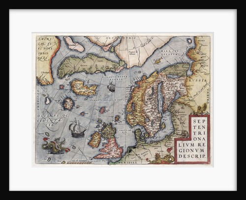
Map of Europe by Ortelius, 16th century
Abraham Ortelius
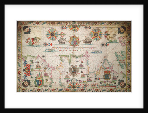
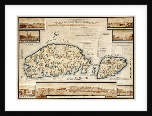
French chart of Malta, circa 1798
unknown
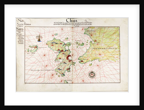
Chart of Chius (Chios, Greece), 1554
Battista Agnese
Humber (1748)
Unknown
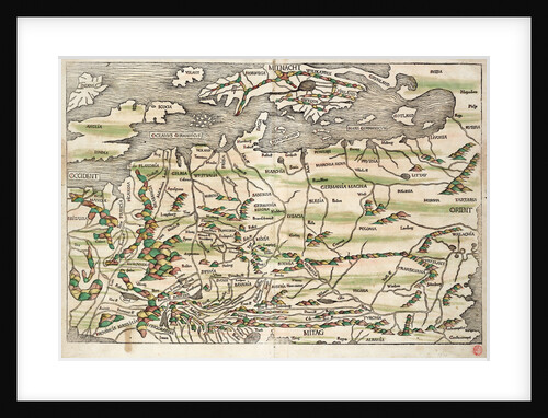
Map of central and northern Europe, 1493
Hieronymus Munzer
Chart of the Mediterranean circa 1640
Joan Oliva
Mast and spar plan for 1745 Establishment Fifth and Sixth Rates
Unknown
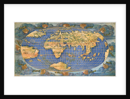
Planisphere world map by Francesco Rosselli, around 1508
Francesco Rosselli
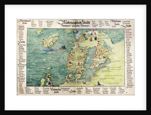
Map of Scandinavia, 1554
Battista Agnese
Plan showing the body, sheer lines and longitudinal half-breadth for ‘Nottingham’ (1745)
Unknown
Carysfort (1766)
Unknown
The English and Spanish fleets on 1 - 2 August, 1588
Robert Adams
Chart of the western Mediterrean
unknown
'Anson' (1747); 'Saint Albans' (1747)
Unknown
Vellum chart of Cyprus, 1554
Battista Agnese
Early 17th century map of the world, after Mercator, with inset portraits of explorers (Drake, Magellan, Thomas Cavendish and Oliver...
unknown
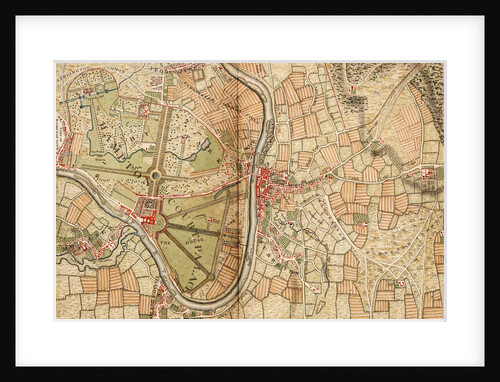
Map of Hampton Court, Kingston and Norbiton
John Rocque
16456; Lines plan for Thornycroft 'CMB' (1916)
Thornycroft & Company Ltd
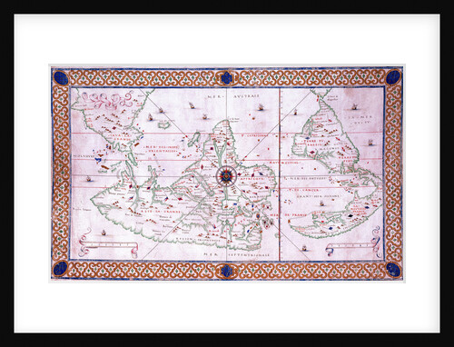
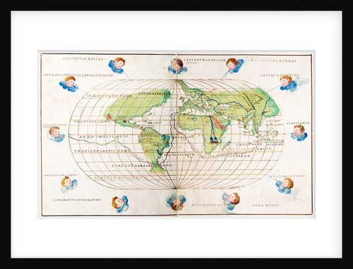
Oval planisphere of the world showing Magellan's track, 1554
Battista Agnese
Map of Chile compiled by Jesuits, 1646
Society of Jesus
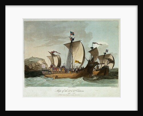
Ships of the 14th & 15th centuries
C.H.S.
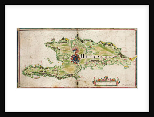
Map of Hispaniola, 1653
Nicholas Comberford
Rochfort (1814) [alternative spelling: Rochefort]; Sandwich (cancelled 1811)
Unknown
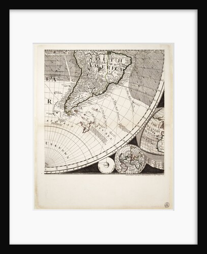
A new and correct map of the world (section)
Sayer & Bennett
The Spanish and English fleets near Plymouth on 30 - 31 July, 1588
Robert Adams
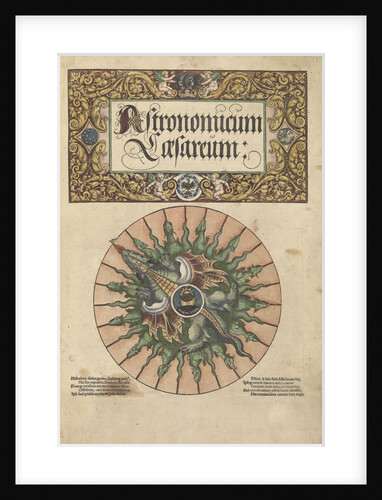
Frontispiece of 'Astronomicum Caesareum', 1540
unknown
Portulan chart constructed by William Borough showing the sea area of the North Sea and Baltic, from the east coast...
William Borough
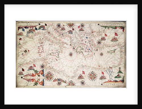
Adriatic chart, circa 1620
unknown
Plan for 'Fairy' (1845)
Unknown
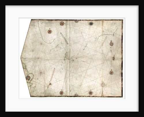
Chart of the north-east Atlantic, from Ireland to Cape Verde
unknown
'Anson' (1747); 'Saint Albans' (1747)
Unknown
A new and correct map of the world (section)
Sayer & Bennett
World chart by Pierre Hamon, 1568
Pierre Hamon
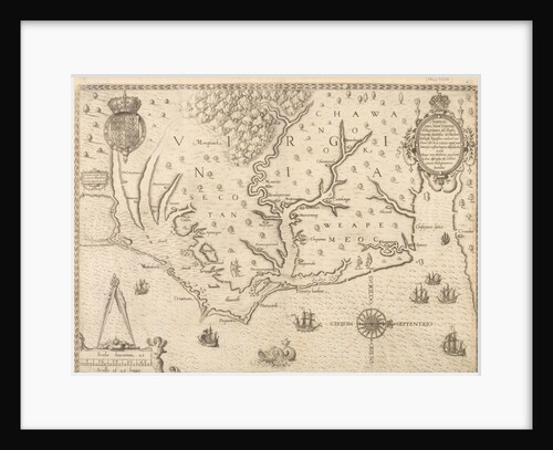
Map of Virginia
unknown
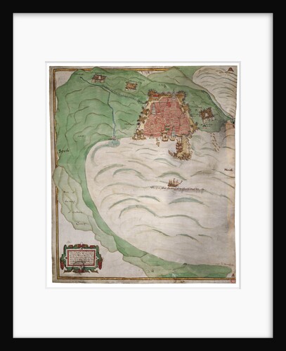
Chart of Algiers Bay, 1620
Robert Norton
1
2
3
…
5
Next »
Recently viewed
Clear history


![Rochfort (1814) [alternative spelling: Rochefort]; Sandwich (cancelled 1811)](http://prints.rmg.co.uk/cdn/shop/products/j7685_7bca2b6f-4c01-43cb-8068-86073c554422_600x.jpg?v=1528801663)