Skip to main content
10% off your first order
☰ Menu
Basket icon
Wishlist icon
Account icon
Search icon
Search icon
Inspiration
Collections
Astrophotography
Battles and wars at sea
Children's
Exploration
Graphic designs
Greenwich
Historic figures
Historic vessels
Maps and charts
Photography
Pirates
Seascapes
Time and space
Natural history
World travel
Ship plans
Gift cards
Contact
Contact us
Newsletter
Search art & photography
Search icon
Circa 1591 prints
Showing 1 to 48 of 63
Search these images +
Search Circa 1591 images
Speculum nauticum super navigatione maris occidentalis confectu, continens omnes oras maritimas Galliae, Hispaniae, and praecipuarum partium Angliae
Lucas Janz Waghenaer
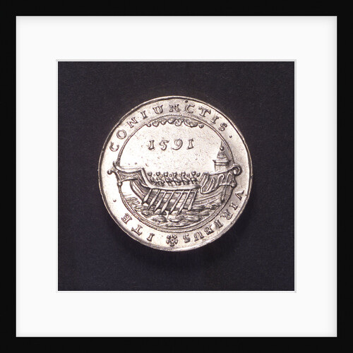
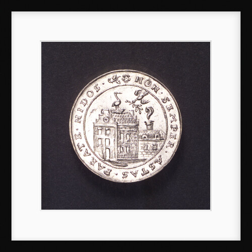
Counter commmemorating preparations by sea and land, 1591; reverse
unknown
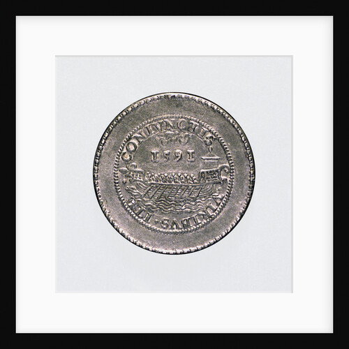
Medal commemorating the preparations by land and sea, 1591; reverse
unknown
'Hero' (circa 1890)
unknown
Medal commemorating the preparations by land and sea, 1591; obverse
unknown
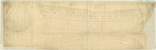
16550; Lines plan for 'CMB1' (1916)
Thornycroft & Company Ltd
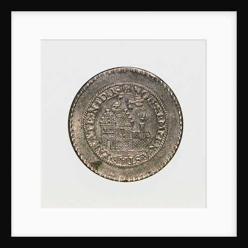
Counter commmemorating preparations by sea and land, 1591; obverse
unknown
Plan of the deck, quarter & forecastle of Concorde (1783)
unknown
16569; General arrangement plan for 'CMB1' (1916)
Thornycroft & Company Ltd
16456; Lines plan for Thornycroft 'CMB' (1916)
Thornycroft & Company Ltd
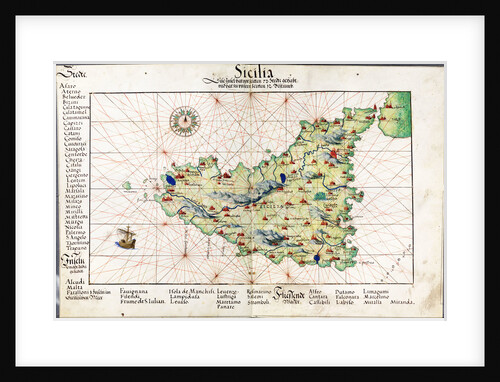
Chart of Sicily, 1554
Battista Agnese
Taurus (circa 1795)
Unknown
Taurus (circa 1795)
Unknown
'Prince Edward' (captured 1781)
Unknown
Early 17th century map of the world, after Mercator, with inset portraits of explorers (Drake, Magellan, Thomas Cavendish and Oliver...
unknown
'Dragon' (1760); 'Superb' (1760); 'Bellona' (1760)
Unknown
Lyon (1709)
Unknown
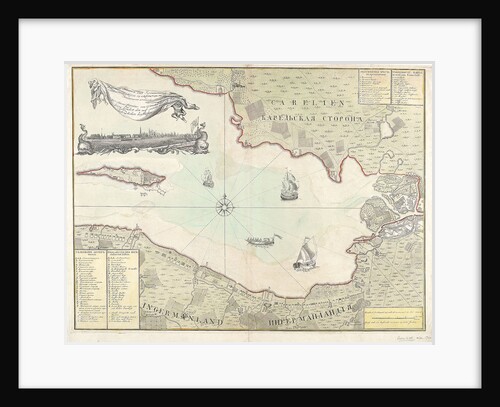
Chart of Cronstadt, circa 1720 (with key)
unknown
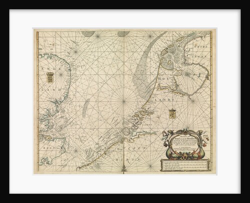
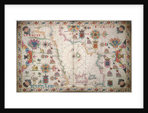
Chart of the North Sea and Dutch coast, 1661
Mount & Page
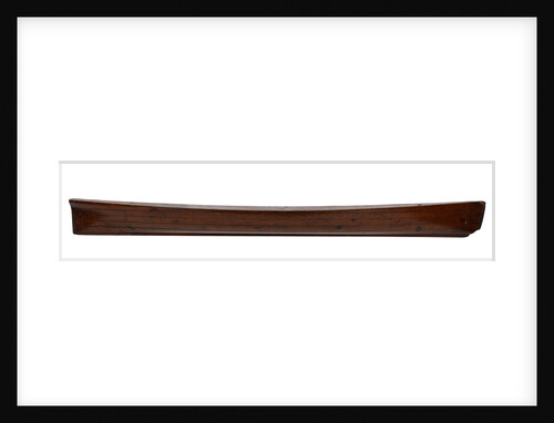
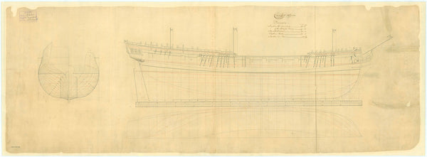
31ft Longboat (circa 1801)
Unknown
'Boyne' (1790)
Unknown
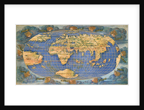
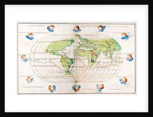
Planisphere world map by Francesco Rosselli, around 1508
Francesco Rosselli
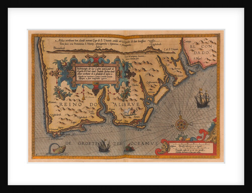
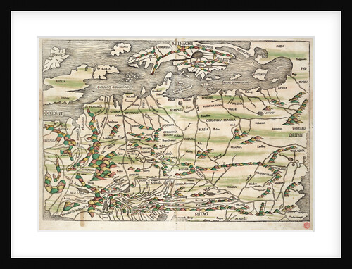
Map of central and northern Europe, 1493
Hieronymus Munzer
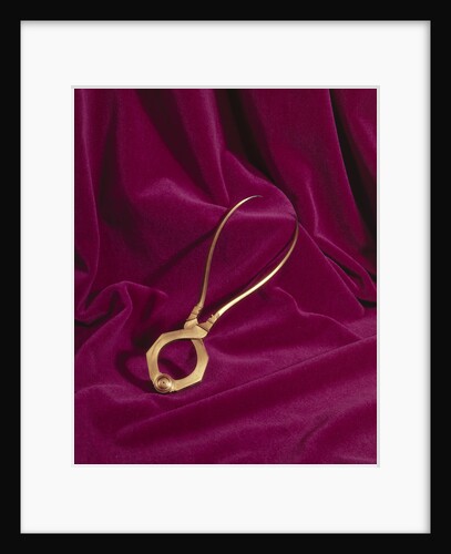
Globe dividers, circa 1600
unknown
Carysfort (1766)
Unknown
'Warwick' (1767)
Unknown
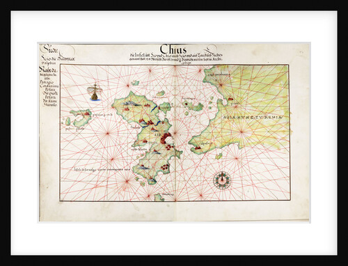
Chart of Chius (Chios, Greece), 1554
Battista Agnese
'Pomona' (captured 1761)
unknown
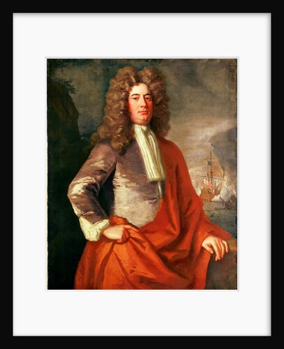
Lord Matthew Aylmer (circa 1655-1720)
Jonathan Richardson
Rochfort (1814) [alternative spelling: Rochefort]; Sandwich (cancelled 1811)
Unknown
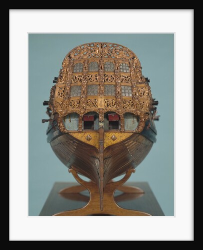
Contemporary skeleton model of a 50-gun small two-decker, circa 1691
Unknown
Lower deck plan for 'Anson' (1781)
Unknown
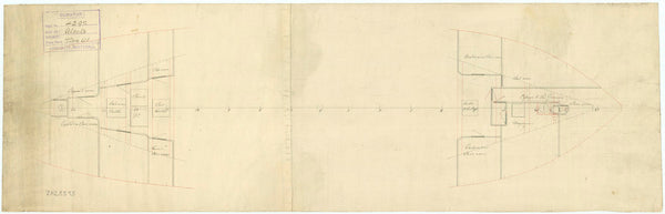
Platform plan for HMS 'Alecto' (1781)
Unknown
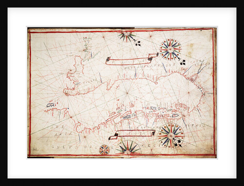
Chart of the western Mediterrean
unknown
Ship plan of Thisbe (1783) Inboard Works, Expansion of
unknown
Magicienne (1781) [ex French Magicienne (1777)]
Unknown
'Elc' (circa 1890)
unknown
Ship plan of Thisbe (1783) Outboard Works, Expansion of
unknown
'Ardent' (1796)
Unknown
Active (1799)
Unknown
Oval planisphere of the world showing Magellan's track, 1554
Battista Agnese
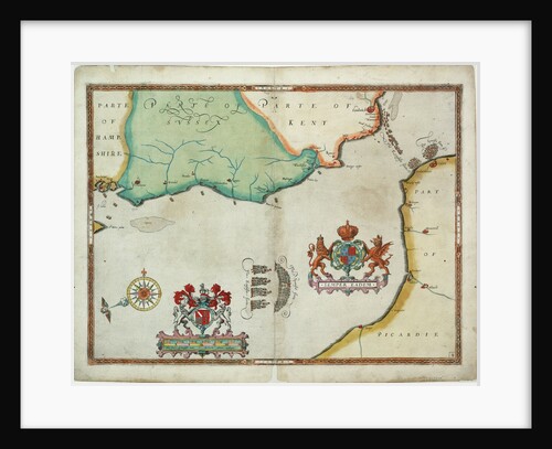
Map of 'The pursuit to Calais, 4 - 6 August 1588'
Robert Adams; Augustine Ryther
47ft Longboat (1757?)
Unknown
Lines plan for 'Alderney' (1735)
Unknown
Magicienne (1781), [ex FrenchMagicienne (1777)]
Unknown
Lines plan for a Cutter
Unknown
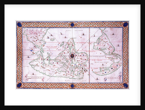
Adriatic chart, circa 1620
unknown
World chart by Pierre Hamon, 1568
Pierre Hamon
1
2
Next »
Recently viewed
Clear history


![Rochfort (1814) [alternative spelling: Rochefort]; Sandwich (cancelled 1811)](http://prints.rmg.co.uk/cdn/shop/products/j7685_7bca2b6f-4c01-43cb-8068-86073c554422_600x.jpg?v=1528801663)


![Magicienne (1781) [ex French Magicienne (1777)]](http://prints.rmg.co.uk/cdn/shop/products/j6633_efec9670-1e70-4370-a545-cfc240cc616b_600x.jpg?v=1528802721)


![Magicienne (1781), [ex FrenchMagicienne (1777)]](http://prints.rmg.co.uk/cdn/shop/products/j6641_97a5c6da-097b-4cb4-b5f3-5eab98c4dc80_600x.jpg?v=1528802917)