Skip to main content
10% off your first order
☰ Menu
Basket icon
Wishlist icon
Account icon
Search icon
Search icon
Inspiration
Collections
Astrophotography
Battles and wars at sea
Children's
Exploration
Graphic designs
Greenwich
Historic figures
Historic vessels
Maps and charts
Photography
Pirates
Seascapes
Time and space
Natural history
World travel
Ship plans
Gift cards
Contact
Contact us
Newsletter
Search art & photography
Search icon
Mount & Page
Showing 1 to 4 of 4
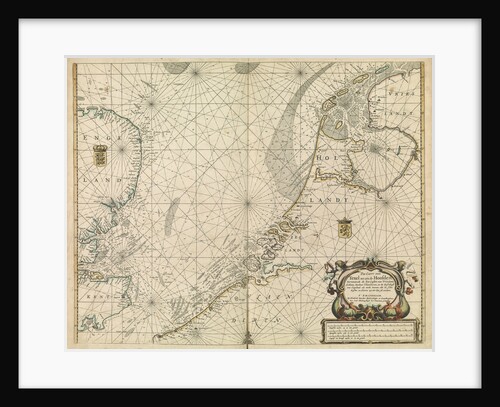
Chart of the North Sea and Dutch coast, 1661
Mount & Page
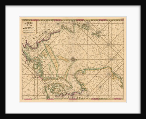
Chart of the North Sea: Norway to the Dover Straits
Mount & Page
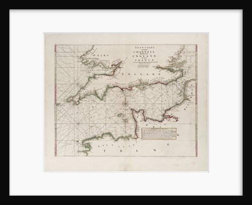
A chart of the Channel between England and France, 1702
Mount & Page
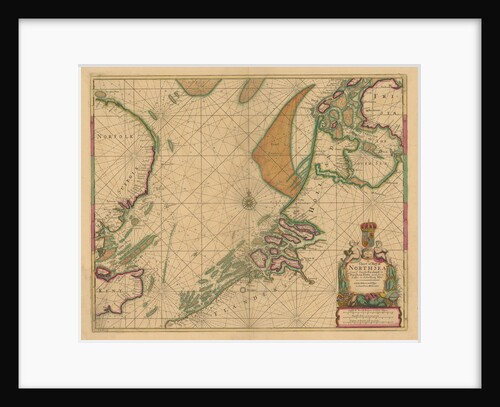
A chart of the North Sea from South Foreland to Burnham Flatts, and from Callis to Schelling Isle
Mount & Page
Recently viewed
Clear history