Skip to main content
10% off your first order
☰ Menu
Basket icon
Wishlist icon
Account icon
Search icon
Search icon
Inspiration
Collections
Astrophotography
Battles and wars at sea
Children's
Exploration
Graphic designs
Greenwich
Historic figures
Historic vessels
Maps and charts
Photography
Pirates
Seascapes
Time and space
Natural history
World travel
Ship plans
Gift cards
Contact
Contact us
Newsletter
Search art & photography
Search icon
Circa 1627-1629 prints
Showing 1 to 15 of 15
Search these images +
Search Circa 1627-1629 images
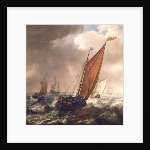
A Dutch ferry boat before a breeze
Simon de Vlieger
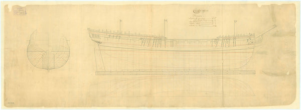
Carysfort (1766)
Unknown
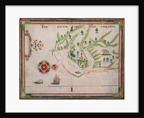
The south part of Virginia, 1657
Nicholas Comberford
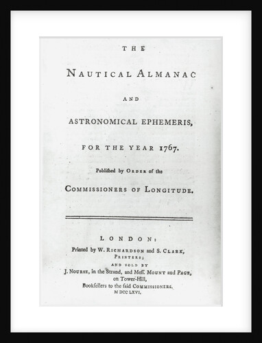
The Nautical Almanac for the year 1767
W. Richardson
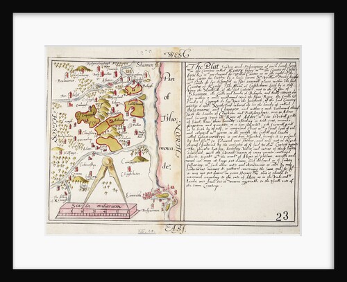
16th century map of county Limerick, Ireland
Anonymous
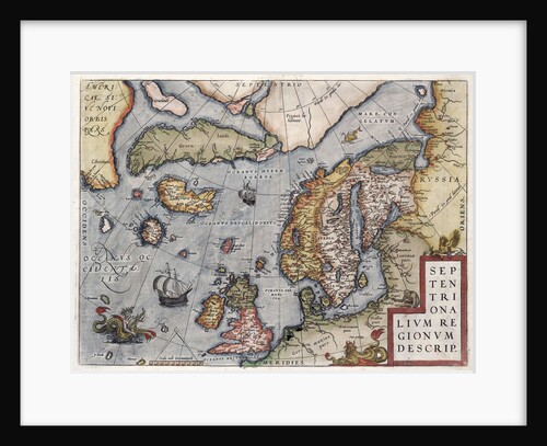
Map of Europe by Ortelius, 16th century
Abraham Ortelius
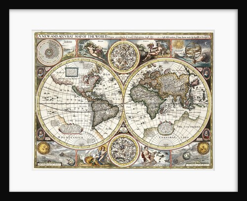
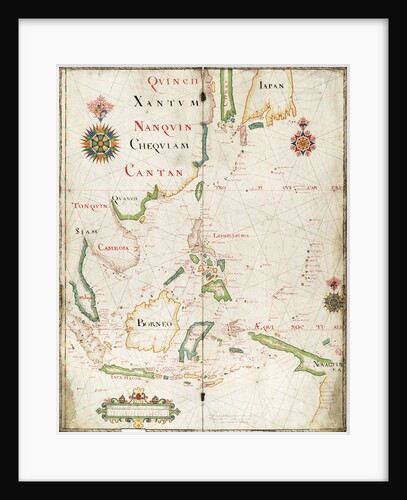
'A new and accurate map of the world' by John Speed, 1626
John Speed
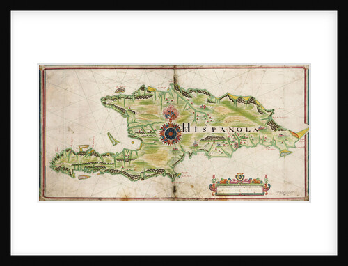
Map of Hispaniola, 1653
Nicholas Comberford
The south part of Virginia. Made by Nicholas Comberford dwelling in Redcliffe, anno 1657
Nicholas Comberford
'Minerva' (1829)
Unknown
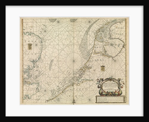
Chart of the North Sea and Dutch coast, 1661
Mount & Page
Chart of Algiers Bay, 1620
Robert Norton
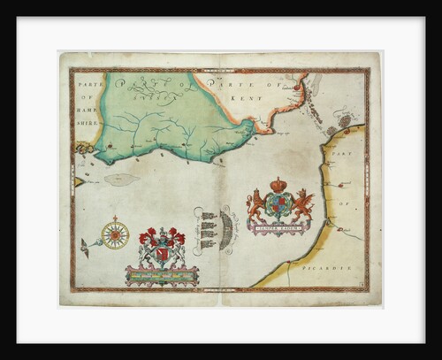
Map of 'The pursuit to Calais, 4 - 6 August 1588'
Robert Adams; Augustine Ryther
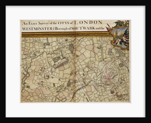
Map of Willesden and Hampstead
John Rocque
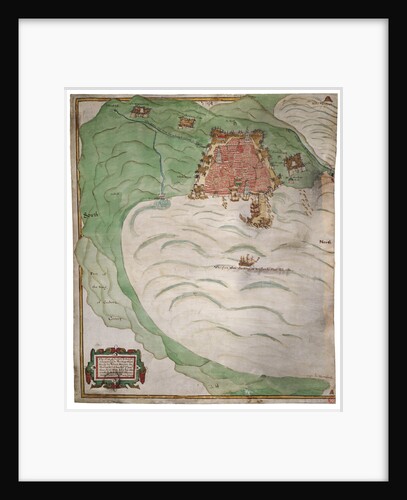
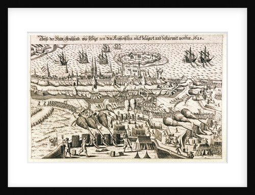
View of Stralsund, 1628
unknown
Recently viewed
Clear history