Skip to main content
10% off your first order
☰ Menu
Basket icon
Wishlist icon
Account icon
Search icon
Search icon
Inspiration
Collections
Astrophotography
Battles and wars at sea
Children's
Exploration
Graphic designs
Greenwich
Historic figures
Historic vessels
Maps and charts
Photography
Pirates
Seascapes
Time and space
Natural history
World travel
Ship plans
Gift cards
Contact
Contact us
Newsletter
Search art & photography
Search icon
Circa 1630s prints
Showing 1 to 48 of 100
Search these images +
Search Circa 1630s images
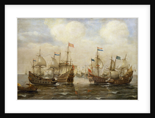
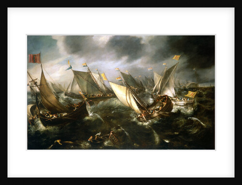
An engagement between the Spanish and the Dutch, circa 1630
Cornelisz Verbeecq
Sir Kenelm Digby (1603-1665)
Unknown
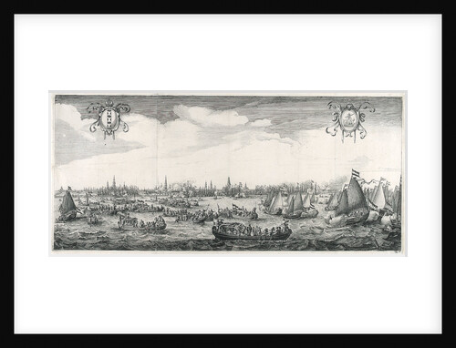
Royal visit to Amsterdam
Simon de Vlieger
Dutch yachts racing
Andries van Eertvelt
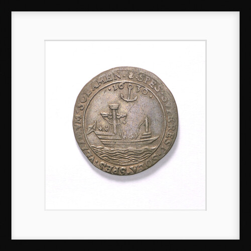
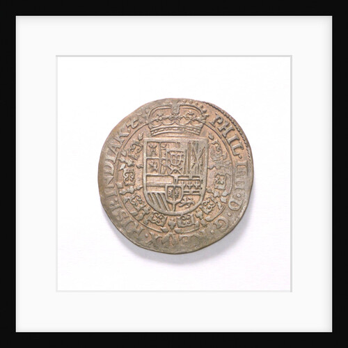
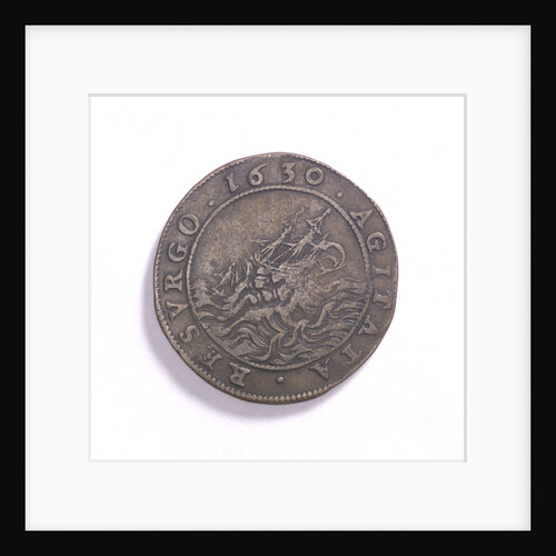
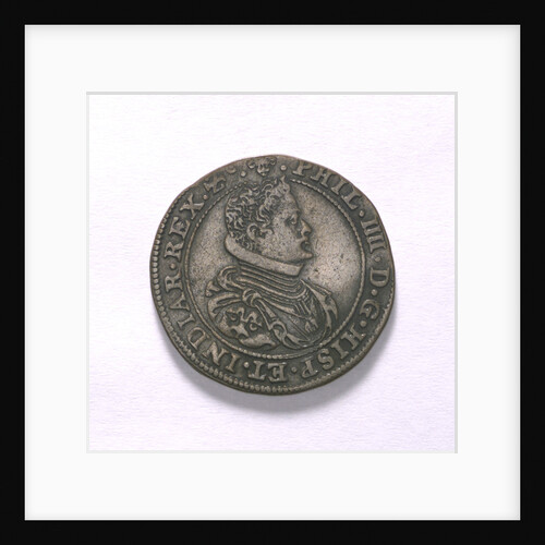
Counter commemorating hopes for peace, 1630; obverse
Unknown
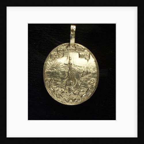
Medal commemorating the landing in Germany, 1630; reverse
unknown
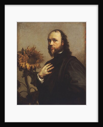
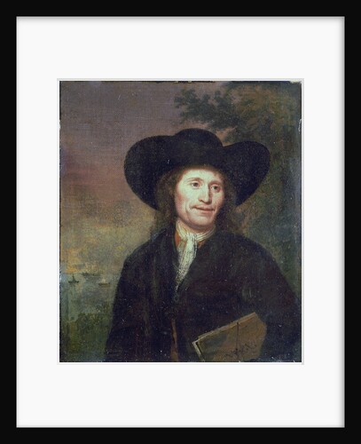
Portrait of a gentleman (circa 1670)
unknown
'Ipswich' (1730)
Unknown
'Ipswich' (1730)
Unknown
'Diomede' (1798); 'Grampus' (1802)
Unknown
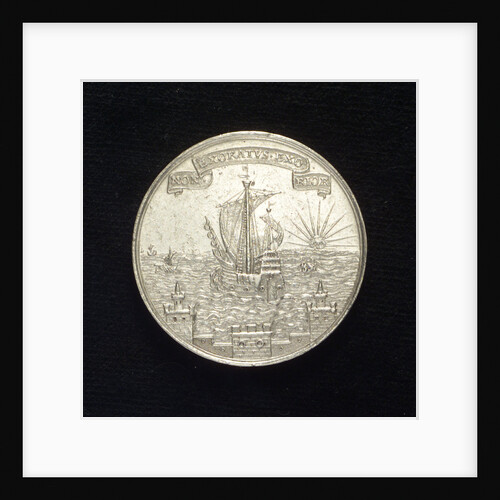
Counter commemorating hopes for peace, 1630; reverse
unknown
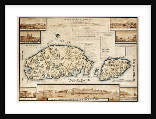
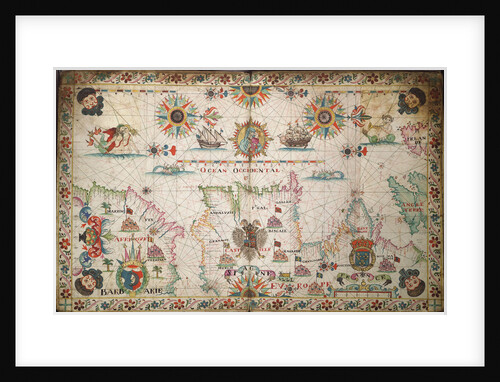
French chart of Malta, circa 1798
unknown
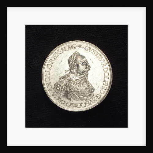
Counter commemorating preparations for the renewal of war, 1630; reverse
unknown
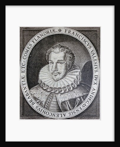
Francis, Duke of Anjou
Unknown
John Benbow (1653-1702), Sir Ralph Delavalle (circa 1645-1707) and Thomas Phillips (circa 1635-1693)
Thomas Murray
Counter commemorating preparations for the renewal of war, 1630; obverse
unknown
Medal commemorating the landing in Germany, 1630; reverse
unknown
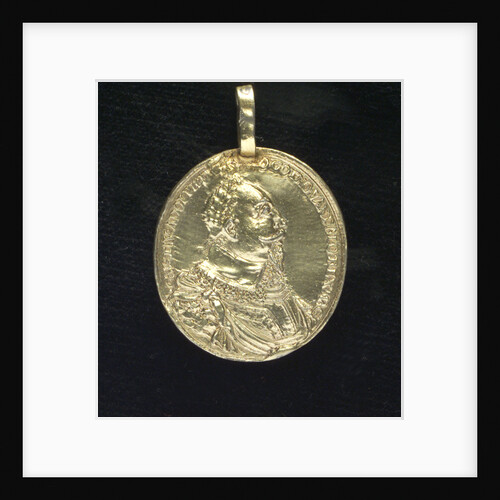
Medal commemorating the landing in Germany, 1630; obverse
unknown
Medal commemorating the landing in Germany, 1630; obverse
Unknown
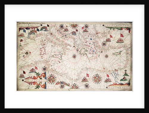
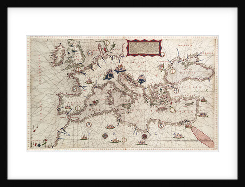
Chart of the Mediterranean circa 1640
Joan Oliva
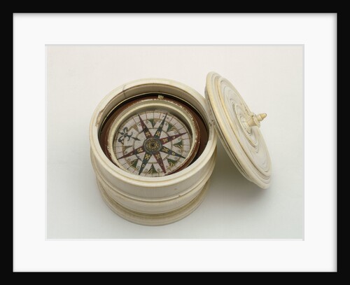
Mariner's compass, 16th century
unknown
Adriatic chart, circa 1620
unknown
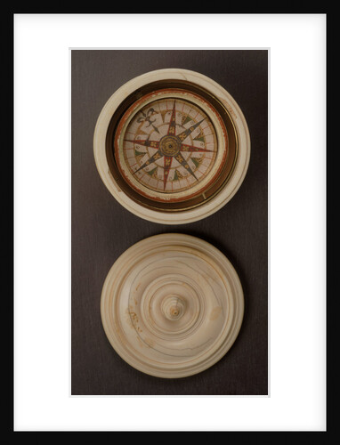
Globe dividers, circa 1600
unknown
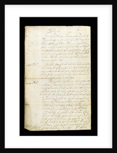
A 1678 contract from Woolwich Dockyard
unknown
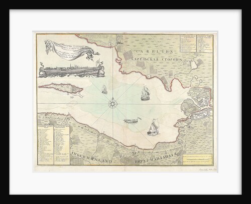
Chart of Cronstadt, circa 1720 (with key)
unknown
'Ipswich' (1730)
Unknown
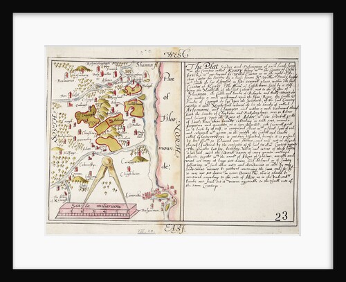
16th century map of county Limerick, Ireland
Anonymous
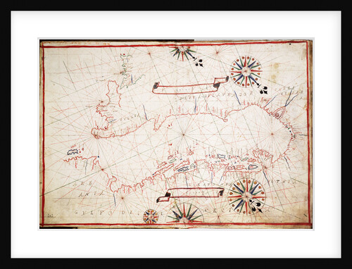
Chart of the eastern Mediterrean
unknown
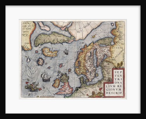
Map of Europe by Ortelius, 16th century
Abraham Ortelius
'Ipswich' (Br, 1730)
unknown
Chart of the north-east Atlantic, from Ireland to Cape Verde
unknown
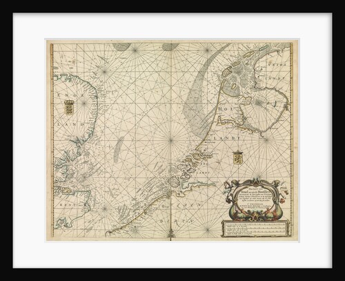
Chart of the North Sea and Dutch coast, 1661
Mount & Page
'Ipswich' (Br, 1730)
unknown
The English and Spanish fleets on 1 - 2 August, 1588
Robert Adams
Unnamed 130ft Fifth Rate (circa 1760), possibly 'Flora' (captured 1761)
Unknown
Dover (1786)
Unknown
Lord Matthew Aylmer (circa 1655-1720)
Jonathan Richardson
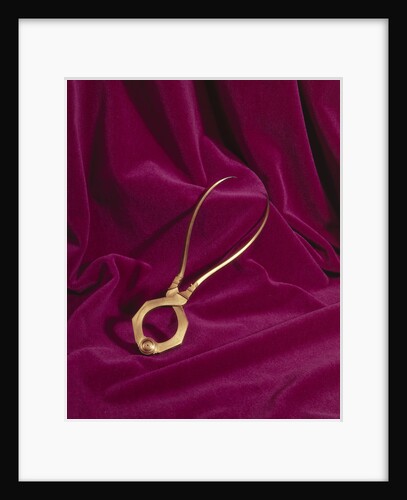
Lodestone, circa 1600
unknown
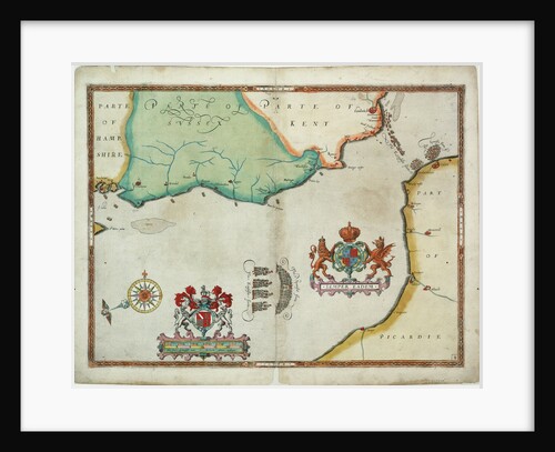
Map of 'The pursuit to Calais, 4 - 6 August 1588'
Robert Adams; Augustine Ryther
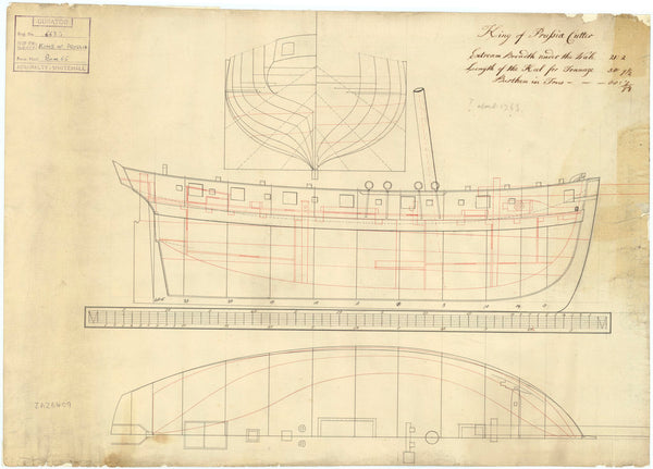
King of Prussia (circa 1763)
Unknown
Mariner's compass, 16th century
unknown
Dover (1786)
Unknown
A passenger or cargo vessel 'Hoy' (1730)
unknown
Portulan chart constructed by William Borough showing the sea area of the North Sea and Baltic, from the east coast...
William Borough
Portrait of the 'Rotterdam', 40 guns, built in 1635 and is last mentioned 1665
Willem van de Velde the Elder
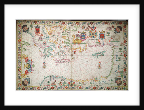
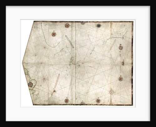
Chart of Mediterranean, Black and Caspian Seas, 16th century
Paulo Forlani
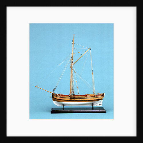
'Lyme' (1748) [alternative spelling Lime]
Unknown
A passenger or cargo vessel 'Hoy' (1730)
unknown
1
2
3
Next »
Recently viewed
Clear history


!['Lyme' (1748) [alternative spelling Lime]](http://prints.rmg.co.uk/cdn/shop/products/j8267_60e2ab68-389f-427b-851c-07b977e5e13f_600x.jpg?v=1528803016)