Skip to main content
10% off your first order
☰ Menu
Basket icon
Wishlist icon
Account icon
Search icon
Search icon
Inspiration
Collections
Astrophotography
Battles and wars at sea
Children's
Exploration
Graphic designs
Greenwich
Historic figures
Historic vessels
Maps and charts
Photography
Pirates
Seascapes
Time and space
Natural history
World travel
Ship plans
Gift cards
Contact
Contact us
Newsletter
Search art & photography
Search icon
Circa 1682 prints
Showing 1 to 48 of 56
Search these images +
Search Circa 1682 images
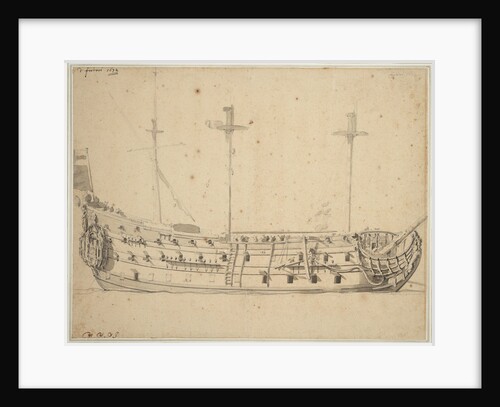
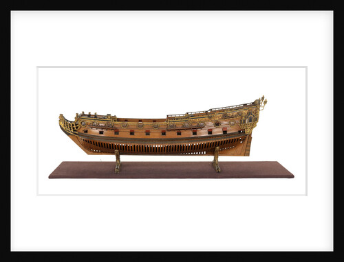
'Bonaventure' (1683); Warship; Fourth rate; 50 guns
Unknown
'Bedford' (1775)
Unknown
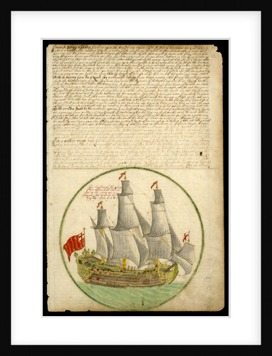
The wreck of the ''Gloucester'' off Yarmouth, 6 May 1682
Johan Danckerts
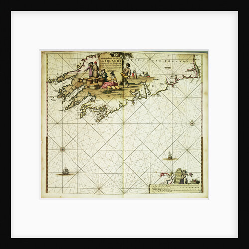
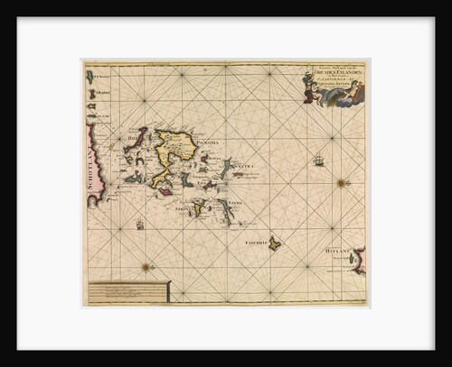
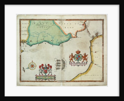
Chart of Orcades Eylande (Orkneys) from van Keulen's 'Great and Newly Enlarged Sea Atlas', 1682
Johannes van Keulen
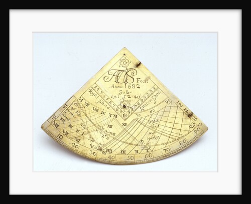
Obverse of Gunter quadrant
Unknown
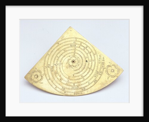
Reverse of Gunter quadrant
unknown
John Benbow (1653-1702), Sir Ralph Delavalle (circa 1645-1707) and Thomas Phillips (circa 1635-1693)
Thomas Murray
Map of 'The pursuit to Calais, 4 - 6 August 1588'
Robert Adams; Augustine Ryther
The 'Cadiz Merchant' under way, 1682
Edward Barlow
Fly (1752)
Unknown
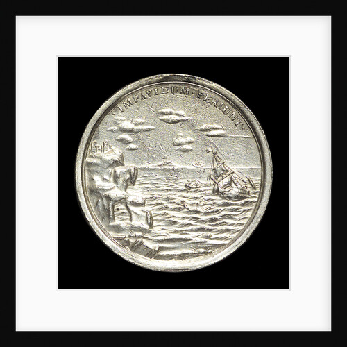
Medal commemorating The Duke of York wrecked, 1682; reverse
George Bower
Argonaut (captured 1782)
Unknown
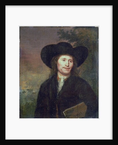
Portrait of a gentleman (circa 1670)
unknown
Argonaut (captured 1782)
Unknown
Inspector (1782)
Unknown
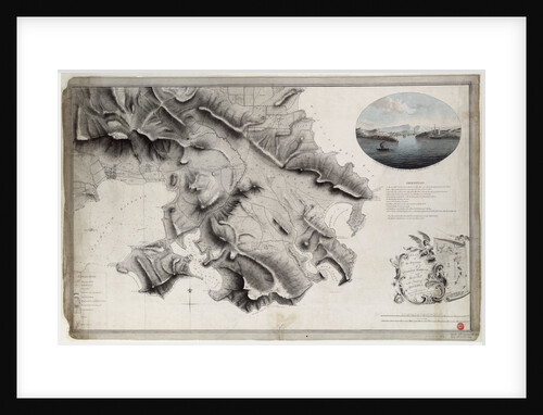
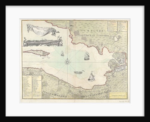
Chart of Cronstadt, circa 1720 (with key)
unknown
'Trimmer' (captured 1782)
Plymouth Dockyard
Inspector (1782)
Plymouth Dockyard
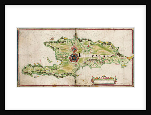
Map of Hispaniola, 1653
Nicholas Comberford
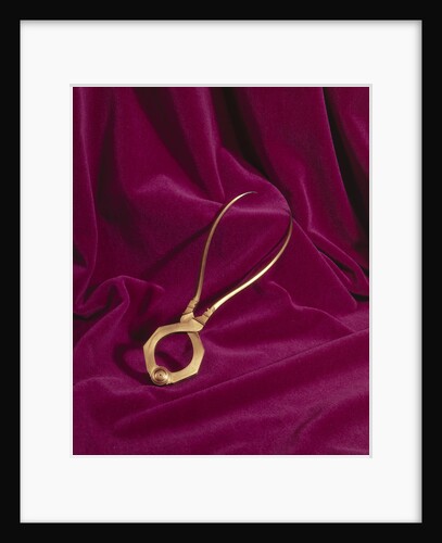
Globe dividers, circa 1600
unknown
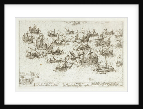
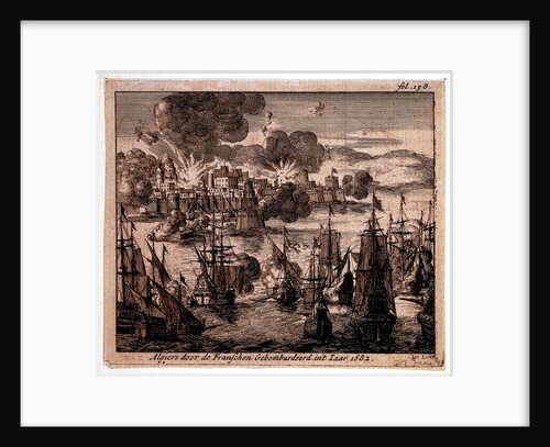
Bombardement of Algiers, 1682
Jan Lurketz
Calm: an English two-decker with sails loosed firing a salute
Willem van de Velde the Elder
Inspector (1782)
Willem van de Velde the Elder
The Royal Hunt or a prospect of the Year 1782
North Briton
The English and Spanish fleets on 1 - 2 August, 1588
Robert Adams
Cruizer (1752) [alternative spelling: Cruiser]
Unknown
Inspector (1782)
Unknown
Plan of the environs of English Harbour and Monks Hill in the Island of Antigua surveyed and drawn by John...
John Brown
Portrait of the 'Victory', 2nd rate built 1620, 82 guns, rebuilt 1666
Willem Van de Velde the Younger
Inspector (1782)
Willem Van de Velde the Younger
'Atlas' (1782)
Unknown
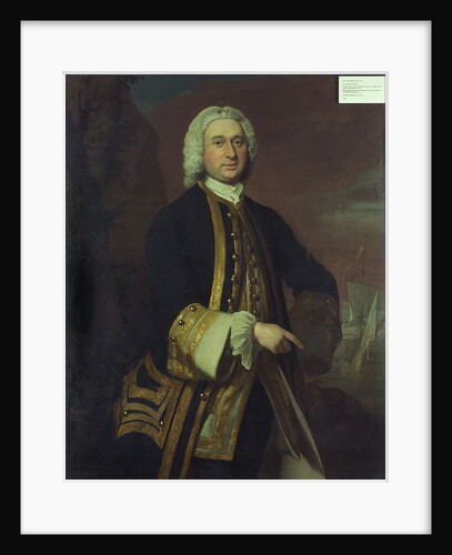
Captain William Gordon (circa 1709-1768)
Joseph Highmore
'Prince Edward' (captured 1781)
Unknown
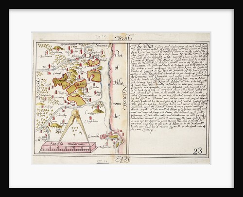
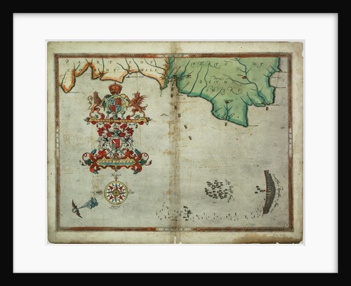
16th century map of county Limerick, Ireland
Anonymous
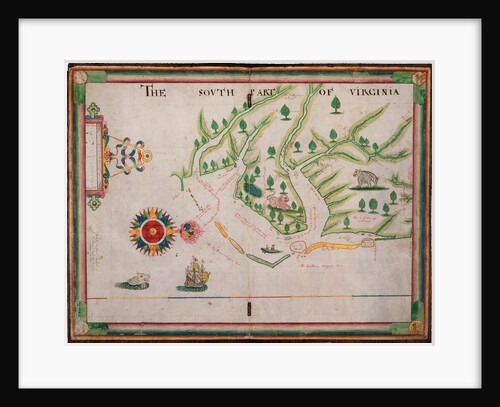
The south part of Virginia, 1657
Nicholas Comberford
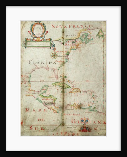
Chart of the western Atlantic, 1678
Joel Gascoyne
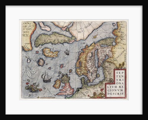
Map of Europe by Ortelius, 16th century
Abraham Ortelius
Inspector (1782)
Abraham Ortelius
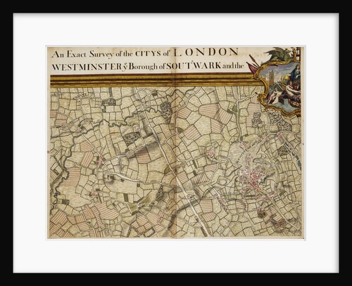
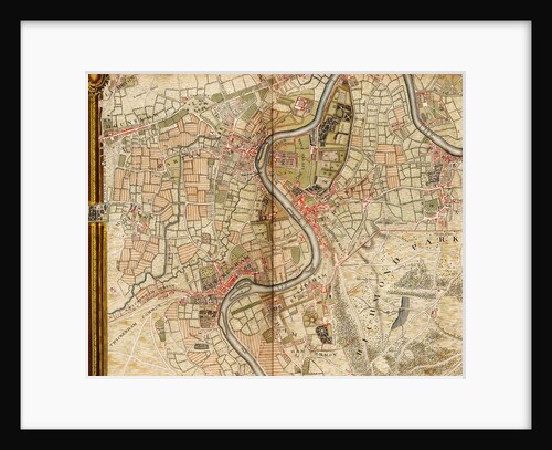
Map of Willesden and Hampstead
John Rocque
'Pearl' (1762)
Unknown
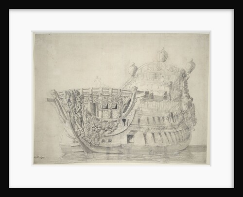
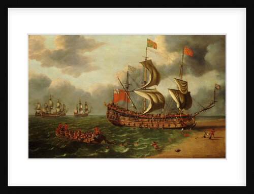
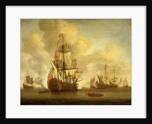
The 'Britannia' (Br, 1682)
Willem van de Velde the Elder
A chart bound in van Keulen's 'Great and Newly Enlarged Sea Atlas' or Waterworld
Johannes Van Keulen
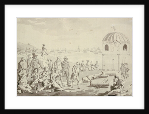
Dover, 23 October 1602
K. Geller
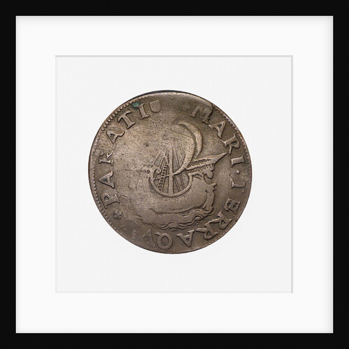
Counter commemorating preparations for war in 1582; reverse
Unknown
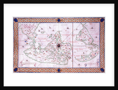
World chart by Pierre Hamon, 1568
Pierre Hamon
Inspector (1782) (Copy)
Pierre Hamon
Map of Hounslow, Twickenham and Richmond
John Rocque
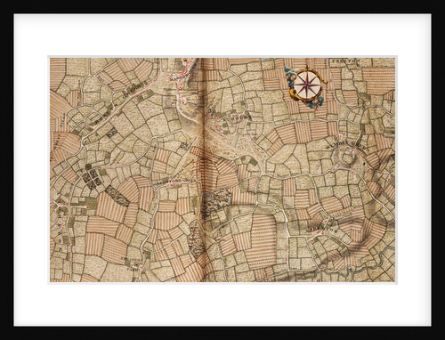
Map of Northolt, Harrow and Wembley
John Rocque
1
2
Next »
Recently viewed
Clear history


![Cruizer (1752) [alternative spelling: Cruiser]](http://prints.rmg.co.uk/cdn/shop/products/j0070_bb340d87-34de-446f-b01a-fa86ecb7decc_600x.jpg?v=1528803018)