Skip to main content
10% off your first order
☰ Menu
Basket icon
Wishlist icon
Account icon
Search icon
Search icon
Inspiration
Collections
Astrophotography
Battles and wars at sea
Children's
Exploration
Graphic designs
Greenwich
Historic figures
Historic vessels
Maps and charts
Photography
Pirates
Seascapes
Time and space
Natural history
World travel
Ship plans
Gift cards
Contact
Contact us
Newsletter
Search art & photography
Search icon
Gren80/5 prints
Showing 1 to 12 of 12
Search these images +
Search Gren80/5 images
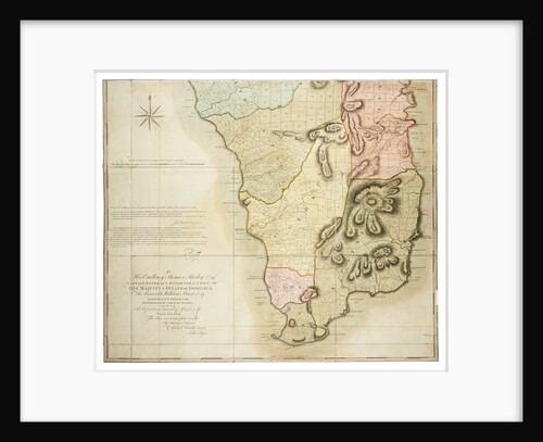
Plan of the Island of Dominica laid down by actual survey under the direction of the Honorable the Commissioners for...
John Byres
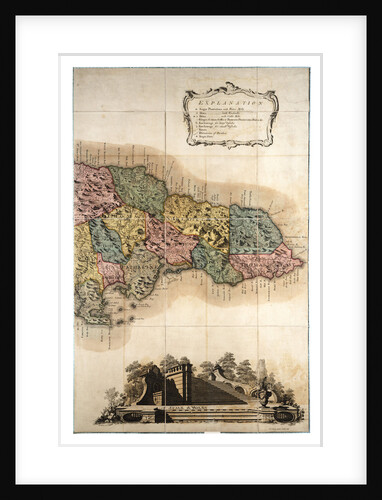
Map of Jamaica
Unknown
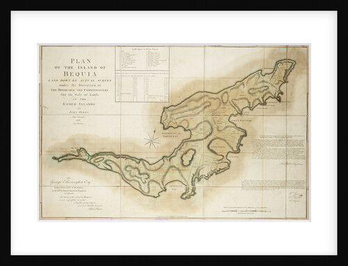
Plan of the Island of Bequia laid down by actual survey under the direction of the Honorable the Commissioners for...
John Byres
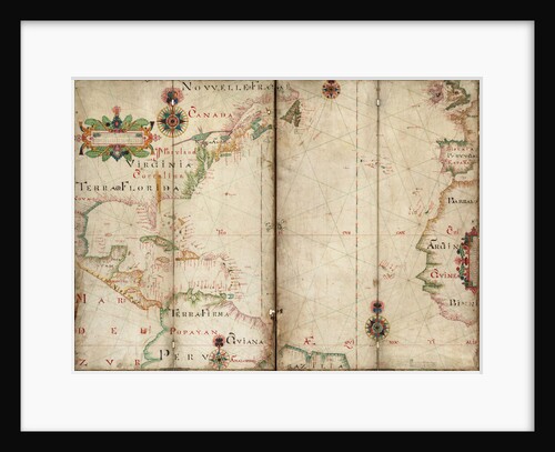
Atlantic 5 degrees South to 56 degrees North
Andrew Welch
Slough. The 40ft reflector with all the woodwork down
John Frederick William Herschel
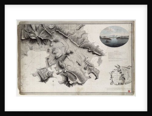
Plan of the environs of English Harbour and Monks Hill in the Island of Antigua surveyed and drawn by John...
John Brown
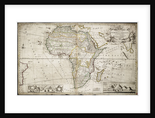
Map of Africa
Herman Moll
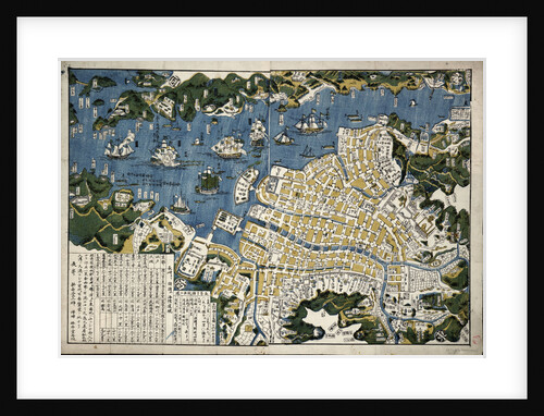
Map of Nagasaki, Japan
Koju do
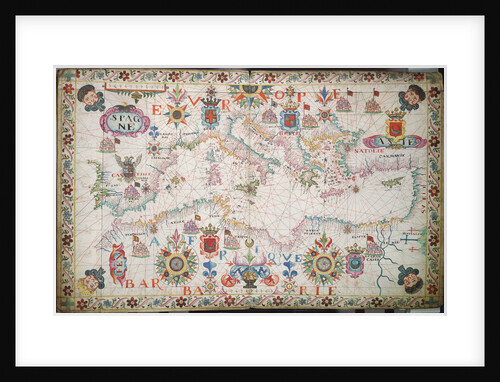
Chart of the Mediterrean, Black and Caspian Seas
unknown
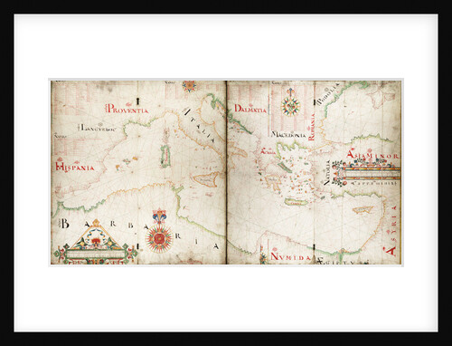
Chart of Mediterranean, Black and Caspian seas
John Burston
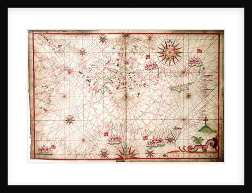
Eastern Mediterranean
Joan Olivia
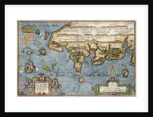
Chart of the English Channel
Lucas Jansz Wagenaer
Recently viewed
Clear history