Skip to main content
10% off your first order
☰ Menu
Basket icon
Wishlist icon
Account icon
Search icon
Search icon
Inspiration
Collections
Astrophotography
Battles and wars at sea
Children's
Exploration
Graphic designs
Greenwich
Historic figures
Historic vessels
Maps and charts
Photography
Pirates
Seascapes
Time and space
Natural history
World travel
Ship plans
Gift cards
Contact
Contact us
Newsletter
Search art & photography
Search icon
Chantiers De L'atlantique
Showing 1 to 48 of 1000
General Arrangement for 'Isocardia'
Chantiers de l'Atlantique
Albion (1842), Aboukir (1848), Exmouth (1854), Algiers (cancelled 1847), Princess Royal (cancelled 1847), Hannibal (cancelled 1847), and St. Joan d'...
Unknown
Torchlight Procession around the World. Dedicated to Young America! Atlantic Cable celebration
A. Weingartner
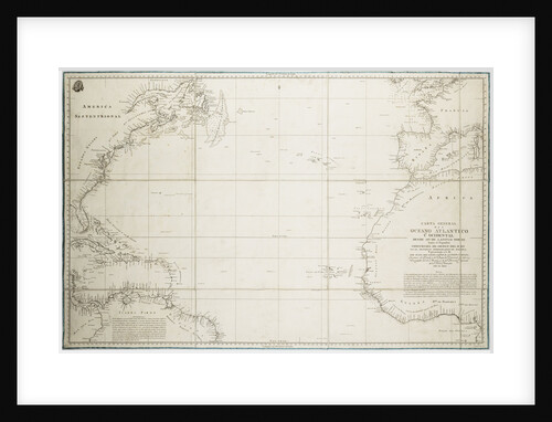
A general chart of the Atlantic Ocean north of the Equator
Deposito Hidrografico
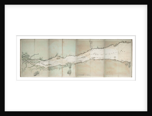
Chart of river of St. Lawrence, North America Atlantic coast
J. F. W. Des Barres
Counter commemorating the cruise of Admiral d'Antin to Morocco, 1738; obverse
unknown
Albion (1842), Aboukir (1848), Exmouth (1854), Algiers (cancelled 1847), Princess Royal (cancelled 1847), Hannibal (cancelled 1847), St. Joan d'Arc (cancelled...
Unknown
Albion (1842), Aboukir (1848), Exmouth (1854), Algiers (cancelled 1847), Princess Royal (cancelled 1847), Hannibal (cancelled 1847), St. Joan d'Arc (cancelled...
Unknown
Albion (1842), Aboukir (1848), Exmouth (1854), Algiers (cancelled 1847), Princess Royal (cancelled 1847), Hannibal (cancelled 1847), St. Joan d'Arc (cancelled...
Unknown
Albion (1842), Aboukir (1848), Exmouth (1854), Algiers (cancelled 1847), Princess Royal (cancelled 1847), Hannibal (cancelled 1847), St. Joan d'Arc (cancelled...
Unknown
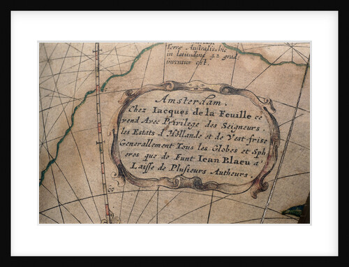
Cartouche in Atlantic Ocean
Jacques de La Feuille
Prise du Romulus dans la Baye de Chesapeak. Par Mr. Le Cardeur de Tilly
Le Cardeur de Tilly
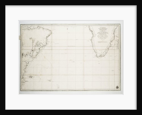
Chart of the Atlantic Ocean south of the Equator, 1785
Deposito Hidrografico
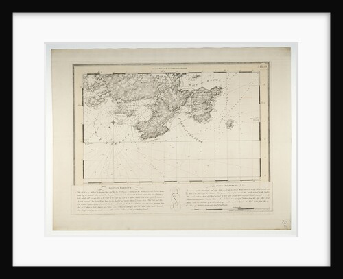
Conway Harbour and Port Aylesbury, North American Atlantic Coast
J.F.W. Des Barres
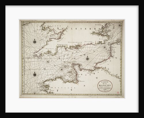
Chart of the English Channel and the Atlantic coasts of southern Britain and northern France
Nicolas Sanson
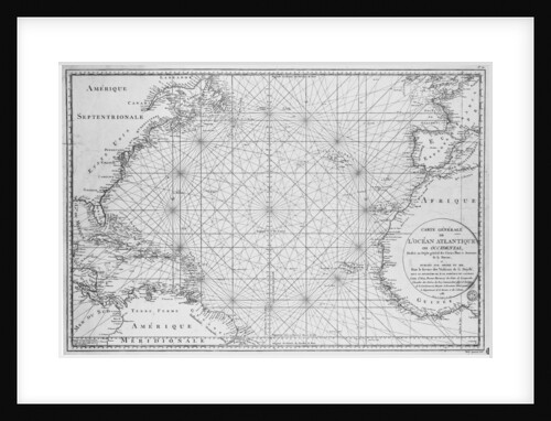
Printed chart of the North Atlantic Ocean by French Admiralty
Depot De La Marine
Jamaica (1798) [ex French, Percante (1795)]
Unknown
Action between 'Phoebe' and French frigate 'L'Africaine', 1 November1801, leading to the capture of the French ship
de Loutherbourg
Albermarle (1781) - ex French Menagere? (1776)
Unknown
Representation of the Unfortunate Loss of His Majesty's Ship Andromeda when Wrecked on the N.E. Part of Martinique, in the...
Lt William Elliott
Deck and lifeboat view aboard cargo liner 'Craftsman' (Br, 1897), Charente S S Co Ltd
unknown
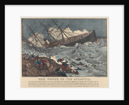
The Wreck of the 'Atlantic'
Currier & Ives (publishers)
Counter commemorating Admiral Comte de Toulouse and the hope of employment for the Navy; reverse
H. Roussel
Cargo liner 'Marquette' (Br, 1898), Atlantic Transport Line, under way
unknown
Front cover of menu from steamer 'Atlantis', farewell dinner
Kenneth D. Shoesmith
Counter commemorating the neglect of the Navy; obverse
H. Roussel
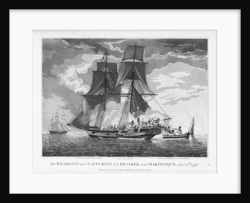
The boarding and capturing of 'La Desiree' near Martinique, 16 January 1798
William Elmes
Letter from Napoleon to Admiral Ganteaume
Napoleon Bonaparte
Mary Read reveals herself to a vanquished enemy
A. Catel
'The Adesmie Épineuse'
Hyacinthe de Bougainville
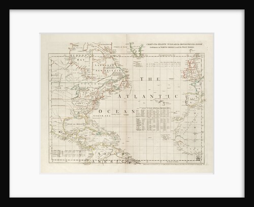
Chart of the Atlantic Ocean, with the British, French & Spanish settlements in North America and the West Indies
Thomas Jefferys
Commencement of the action between the 'Crescent' and 'La Reunion' off Cape Barfleur 20 October 1793
William Nepecker Juste
Chart of Ipswich Bay and Cape Ann, Atlantic coast of North America
J.F.W. Des Barres
The 'Hornet' blockading the 'Bonne Citoyenne' off St Salvador, 1812
Abel Bowen
Wreck of the 'Atlantic' off Mars Head, Nova Scotia April 1 1873
J. Soloman
Counter commemorating the neglect of the Navy; reverse
H. Roussel
Counter commemorating the terror inspired by the French Fleet; reverse
H. Roussel
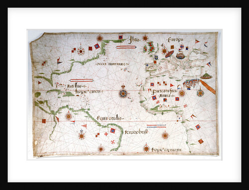
Portulan chart of the Atlantic
Pedro Reinel
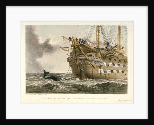
HMS 'Agamemnon' laying the Atlantic telegraph cable in 1858: a whale crosses the line
R. Dudley
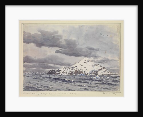
Clarence Island, with Elephant Island in the distance to the left, Feb 23rd, 1927
Sir Alister Hardy
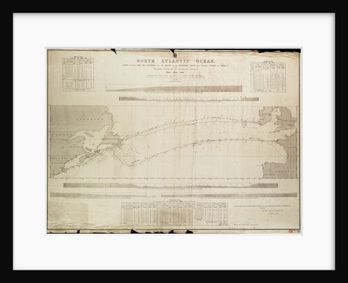
North Atlantic Ocean Chart showing deep sea soundings and tracks of telegraph cables
Malby
Albermarle (1781) - ex French Menagere (1776)
Unknown
Deck, quarter & forecastle plan for 'Africaine' (1798) captured by British in 1801
Unknown
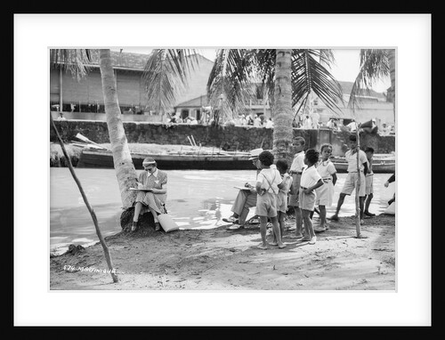
Martinique, Lesser Antilles
Marine Photo Service
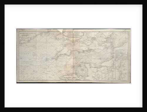
The British Channel with a part of the Atlantic Ocean and of the Coast of Ireland
Robert Sayer
A new hydrographical survey of the British Channel, with part of the Atlantic Ocean as far as Cape Clear, improved...
Robert Sayer; John Bennett
Chart of Ipswich Bay and Cape Ann, Atlantic coast of North America
J.F.W. Des Barres
Counter commemorating the cruise of Admiral d'Antin to Morocco, 1738; reverse
unknown
1
2
3
…
21
Next »
Recently viewed
Clear history