Skip to main content
10% off your first order
☰ Menu
Basket icon
Wishlist icon
Account icon
Search icon
Search icon
Inspiration
Collections
Astrophotography
Battles and wars at sea
Children's
Exploration
Graphic designs
Greenwich
Historic figures
Historic vessels
Maps and charts
Photography
Pirates
Seascapes
Time and space
Natural history
World travel
Ship plans
Gift cards
Contact
Contact us
Newsletter
Search art & photography
Search icon
John Seller
Showing 1 to 17 of 17
A chart of the sea coasts of England, Flanders and Holland
John Seller
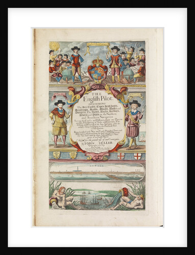
The English pilot the first book: describing the northern navigation
John Seller
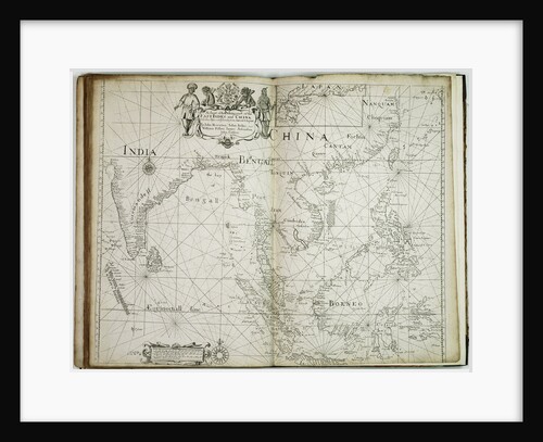
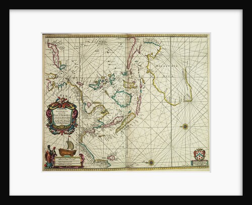
A chart of the trading part of the East Indies and China, with the adjacent islands, from Surrat to Japan
John Seller
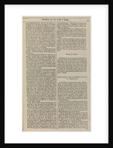
Page 35 from 'The English pilot : the first book: describing the ... northern navigation ...'
John Seller
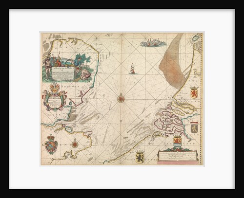
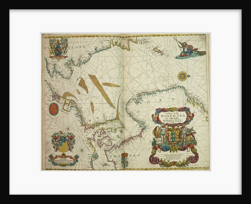
A chart of the North Sea
John Seller
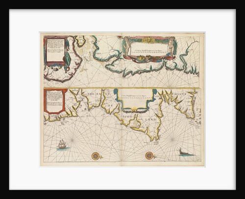
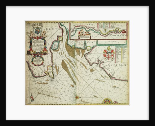
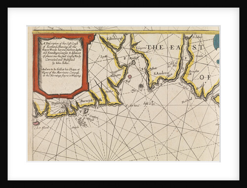
The coast of England from the Southforeland to Orfordness
John Seller
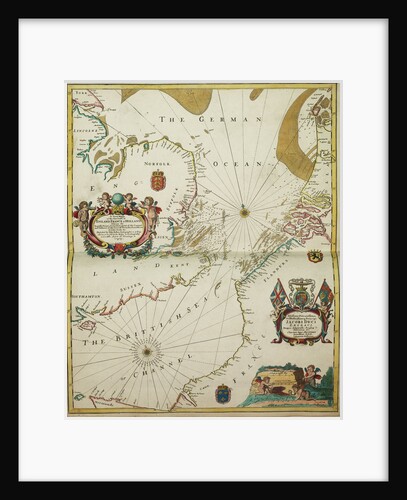
A new mappe of the sea coasts of England, France and Holland, wherein the English names, situation, point of the...
John Seller
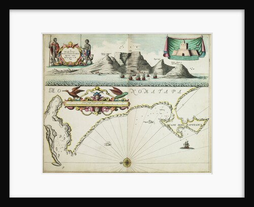
A chart of Guinea describing the sea coast from Cape de Verde to Cape Bona Esperanca
John Seller
The English pilot the first book: describing the northern navigation
John Seller
The English pilot the first book: describing the northern navigation
John Seller
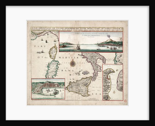
Map containing the island and kingdom of Sicily, with a part of Naples, and other adjacent coasts including the Tyrrhenean...
John Seller
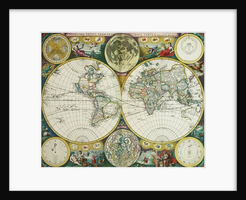
World map by John Seller, 1675
John Seller
A chart of the easternmost part of the East Indies with all the adjacent islands from Cape Comorin to Japan
John Seller
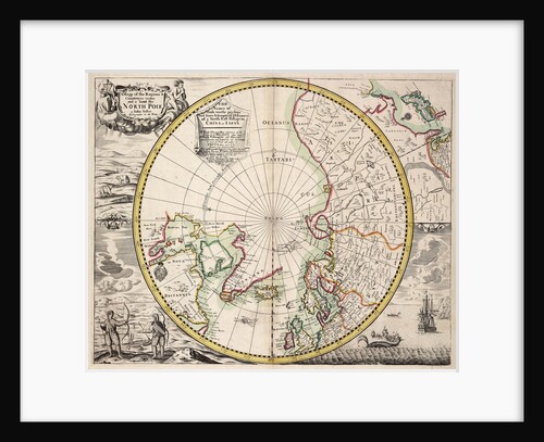
Polar projection map with Arctic Circle
John Seller
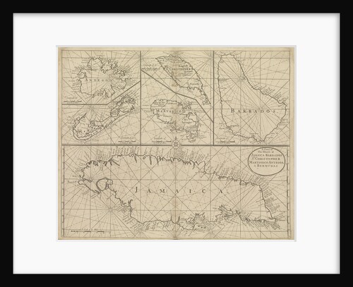
Chart of Jamaica, Barbados, St Christopher, Martinique, Antigua and Bermuda
John Seller
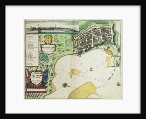
A map of the city and port of Tripoli in Barbary
John Seller
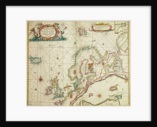
A general chart of the northern navigation
John Seller
Recently viewed
Clear history