Skip to main content
10% off your first order
☰ Menu
Basket icon
Wishlist icon
Account icon
Search icon
Search icon
Inspiration
Collections
Astrophotography
Battles and wars at sea
Children's
Exploration
Graphic designs
Greenwich
Historic figures
Historic vessels
Maps and charts
Photography
Pirates
Seascapes
Time and space
Natural history
World travel
Ship plans
Gift cards
Contact
Contact us
Newsletter
Search art & photography
Search icon
Chantiers De L'atlantique
Showing 1 to 48 of 415
General Arrangement for 'Isocardia'
Chantiers de l'Atlantique
Le Grand Atlas, ou Cosmographie Blauiane
Joan Blaeu
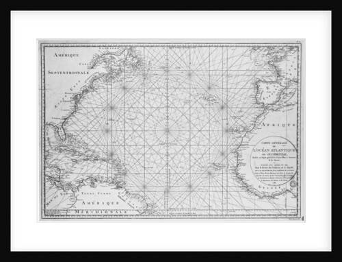
Printed chart of the North Atlantic Ocean by French Admiralty
Depot De La Marine
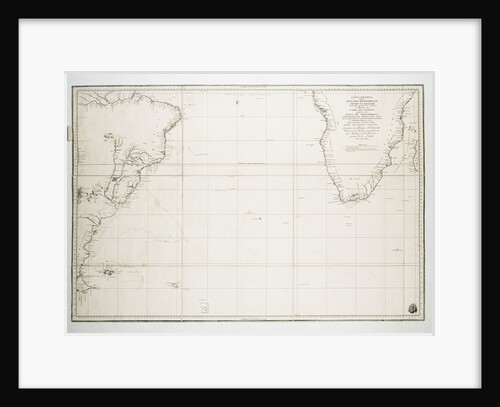
Chart of the Atlantic Ocean south of the Equator, 1785
Deposito Hidrografico
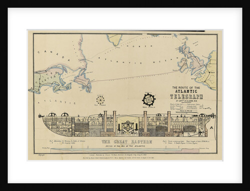
The route of the Atlantic Telegraph, The 'Great Eastern' Section of the bed of the Atlantic
H. Clark
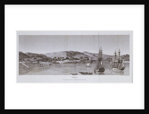
Timor. Vue de la rade, de la ville et du fort hollandois de Coupang
Charles Lesueur; Pillement; Nee; J. Milbert
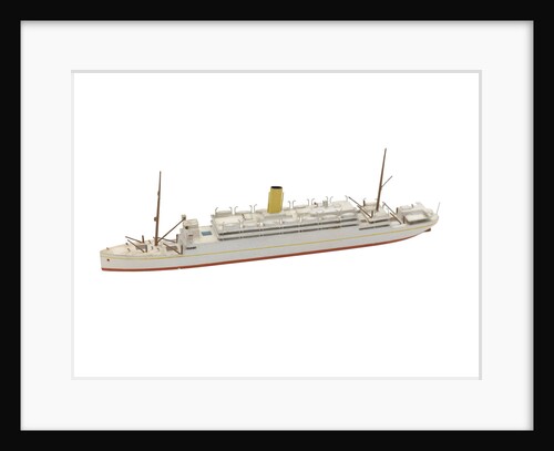
'Atlantis' (1913)
Basset-Lowke
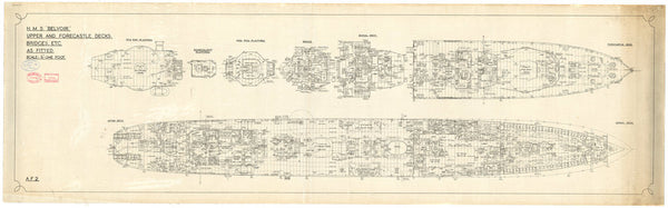
Upper deck plan for Belvoir (1941)
Cammell Laird & Company Ltd.
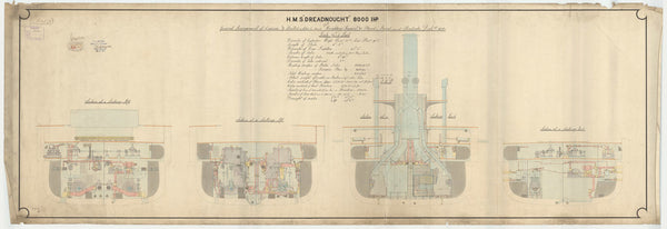
Aft section plan of Dreadnought (1875)
Chief Engineer
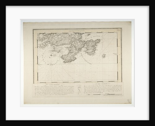
Conway Harbour and Port Aylesbury, North American Atlantic Coast
J.F.W. Des Barres
Constructional Section Aft plan for HMS 'Agincourt' (1913)
unknown
'Atlas' (1782)
Unknown
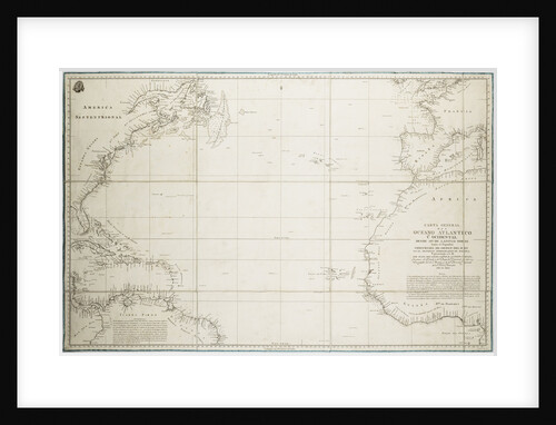
A general chart of the Atlantic Ocean north of the Equator
Deposito Hidrografico
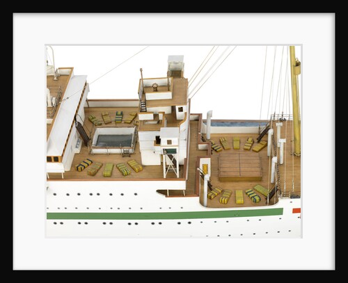
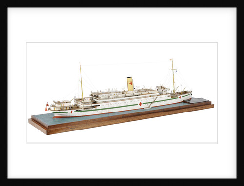
Atlantis'; 'Andes
Bassett-Lowke Ltd
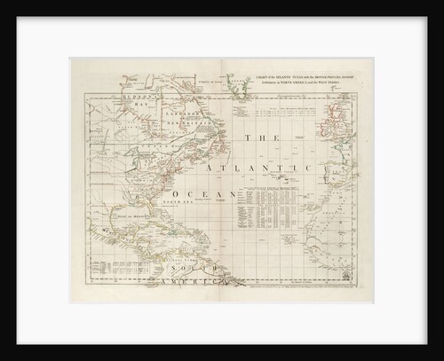
Chart of the Atlantic Ocean, with the British, French & Spanish settlements in North America and the West Indies
Thomas Jefferys
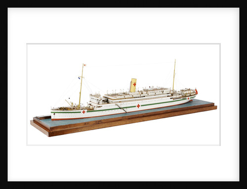
Atlantis'; 'Andes
Bassett-Lowke Ltd
Atlantis'; 'Andes
Bassett-Lowke Ltd
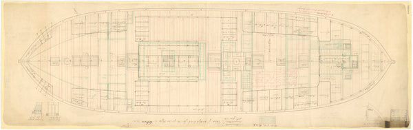
Alarm (1758); Aeolus (1758) [alternative spelling: Eolus]; Montreal (1761); Niger (1759); Quebec (1760); Stag (1758); Winchelsea (1764)
Unknown
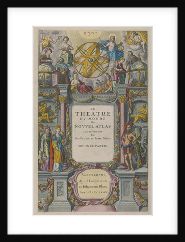
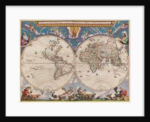
Le Theatre du Monde
Willem Janszoon Blaeu
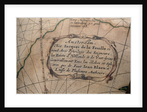
Cartouche in Atlantic Ocean
Jacques de La Feuille
Albion (1842), Aboukir (1848), Exmouth (1854), Algiers (cancelled 1847), Princess Royal (cancelled 1847), Hannibal (cancelled 1847), and St Joan d'...
Unknown
Atlantis'; 'Andes
Bassett-Lowke Ltd
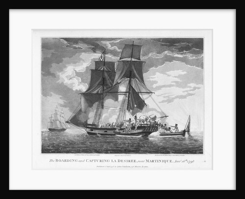
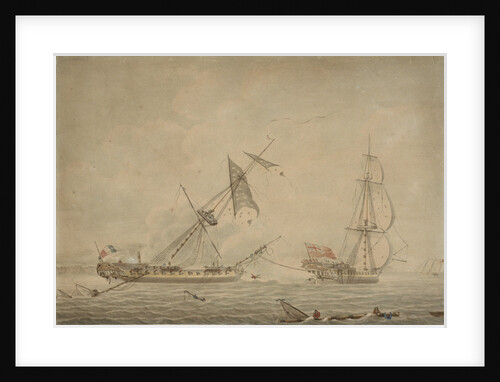
The boarding and capturing of 'La Desiree' near Martinique, 16 January 1798
William Elmes
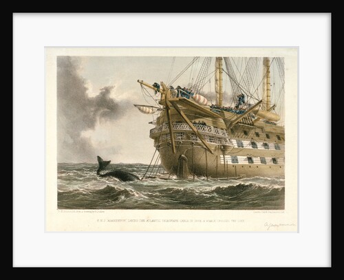
HMS 'Agamemnon' laying the Atlantic telegraph cable in 1858: a whale crosses the line
R. Dudley
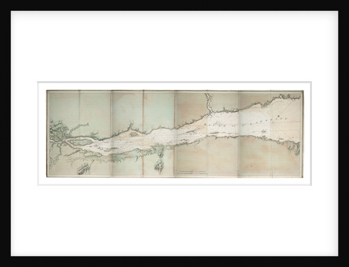
Chart of river of St. Lawrence, North America Atlantic coast
J. F. W. Des Barres
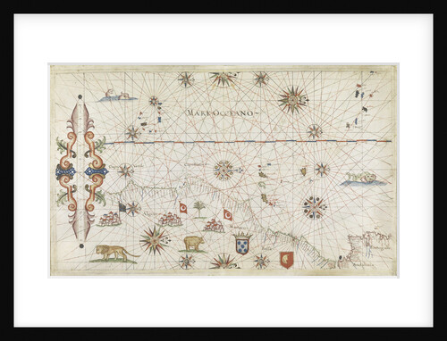
NE Atlantic, Lisbon to Cape Verde
Joannes Oliva
'La Blanche' towing 'La Pique', a French prize, 1795
Robert Dodd
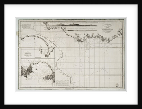
Chart of South America and the Atlantic Coast
Juan de Langara
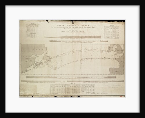
North Atlantic Ocean Chart showing deep sea soundings and tracks of telegraph cables
Malby
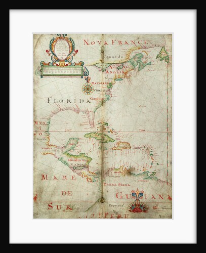
Chart of the western Atlantic, 1678
Joel Gascoyne
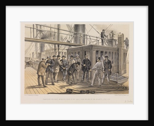
Searching for fault after recovery of the cable from the bed of the Atlantic - July 31st
Robert Dudley
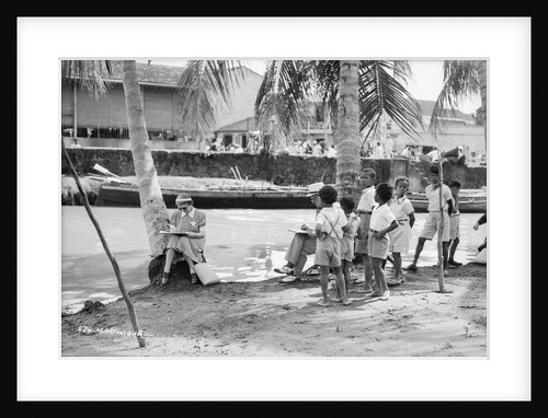
Martinique, Lesser Antilles
Marine Photo Service
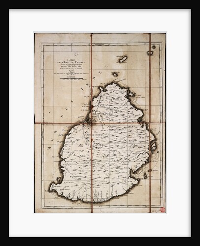
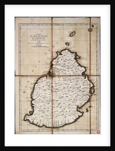
Carte de l'Isle de France levee geometriquement par Mr. l'Abbe de la Caille, de l'Academie Royale des Sciences, en 1753
Ll'Abbe de la Caille
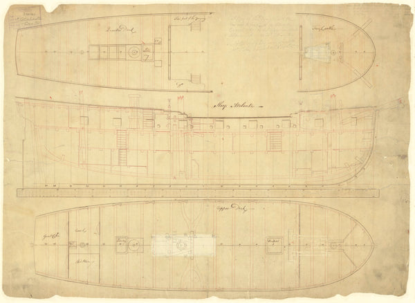
Lower deck plan of Atalanta (1775)
unknown
Lines & profile plan for 'La Prompte'
Unknown
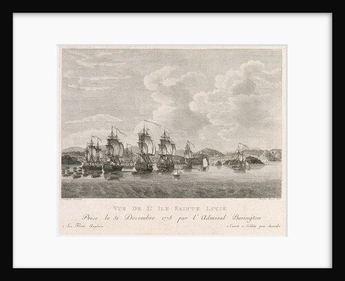
Plan of St Lucia in the West Indies, December 1778
Antoine Suntache
'Atlas' (1782); 'Glory' (1788)
Unknown
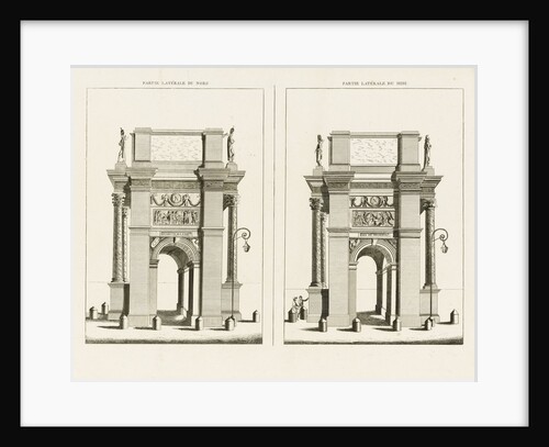
Partie laterale de Nord. Partie laterale du midi
Charles Percier
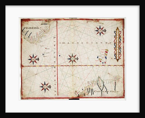
Map of central Atlantic
Joan Oliva
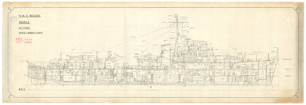
Inboard profile plan for Belvoir (1941)
Cammell Laird & Company Ltd.
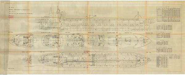
General Arrangement and Capacity plan for 'Opalia'
Cammell Laird & Company
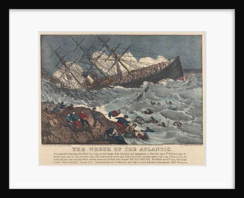
The Wreck of the 'Atlantic'
Currier & Ives (publishers)
Carte de l'Isle de France levee geometriquement par Mr. l'Abbe de la Caille, de l'Academie Royale des Sciences, en 1753
Ll'Abbe de la Caille; Lattre
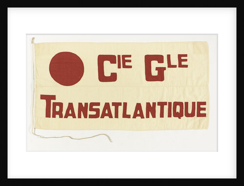
House flag, Compagnie Generale Transatlantique S. A.
Servaux
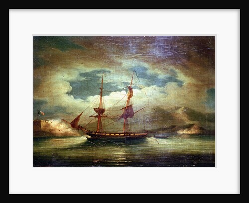
Cutting out the 'Curieux' at Martinique, 3 February 1804
Francis Sartorius
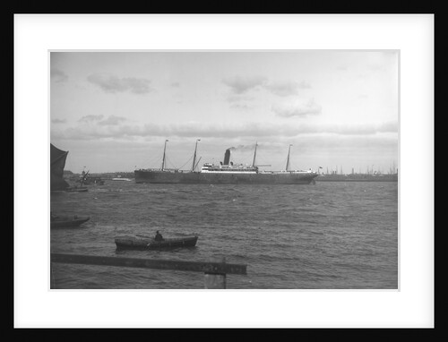
Cargo liner 'Marquette' (Br, 1898), Atlantic Transport Line, under way
unknown
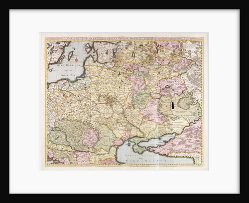
‘Carte du Teatre de la Guerre dans la Pologne, Moscovie & Turquie’ by Nicolas Visscher
Pieter Schenk
Inboard profile plan of HMS 'Atalanta' (1775) 'Cygnet' (1776)
Unknown
1
2
3
…
9
Next »
Recently viewed
Clear history




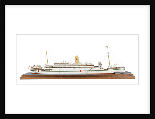
![Alarm (1758); Aeolus (1758) [alternative spelling: Eolus]; Montreal (1761); Niger (1759); Quebec (1760); Stag (1758); Winchelsea (1764)](http://prints.rmg.co.uk/cdn/shop/products/j6018_ed5737fa-89d1-4a16-a0ba-dd34bceadcf1_600x.jpg?v=1528799718)