Skip to main content
10% off your first order
☰ Menu
Basket icon
Wishlist icon
Account icon
Search icon
Search icon
Inspiration
Collections
Astrophotography
Battles and wars at sea
Children's
Exploration
Graphic designs
Greenwich
Historic figures
Historic vessels
Maps and charts
Photography
Pirates
Seascapes
Time and space
Natural history
World travel
Ship plans
Gift cards
Contact
Contact us
Newsletter
Search art & photography
Search icon
The americas prints
Showing 1 to 48 of 495
Search these images +
Search The americas images
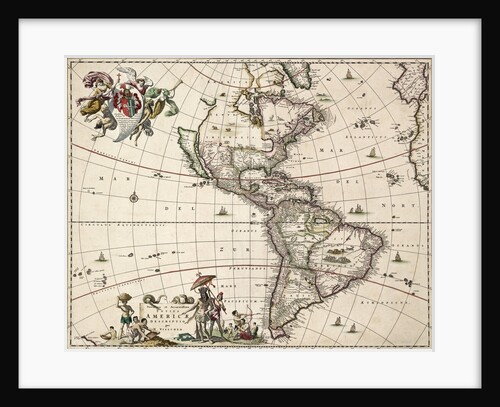
Chart of the Americas
Nikolaus Visscher
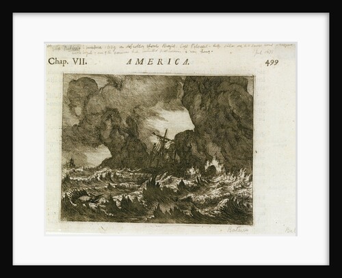
America'
unknown
Sheet from Bleau's 'Atlas of the Americas'
John Blaeu
Map of South America
Herman Moll
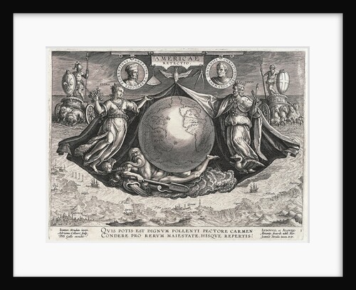
Americae Retectio (The Globe showing America, Africa and Europe and a panorama of Europe also portraits of Christopher Columbus and...
Johannes Stradanus
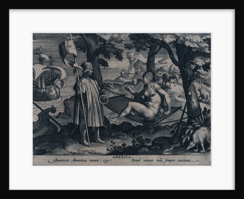
America. Americen Americus retexit, Semel vocauit inde semper exitam
Johannes Stradanus
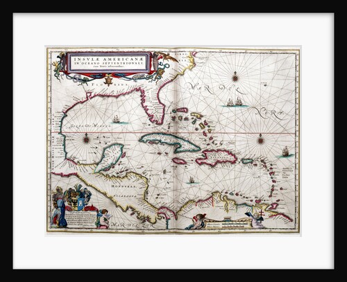
Gulf of Mexico and the Caribbean, from Blaeu's 'Atlas of the Americas'
John Blaeu
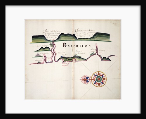
Barranca
William Hack
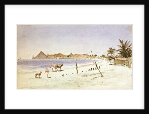
Bay Mazatlan, Mexico
Thomas Somerscales
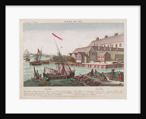
View of Salem, America
Balth Frederic Leizel
America. Americen Americus retexit, Semel vocauit inde semper exitam (the astrolabe)
Johannes Stradanus
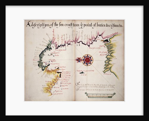
A description of the Sea Coast from Ye Point of Burica to C St. Francis
William Hack
Chart of Paraguay, Chile, Straits of Magellan and Tierra del Fuego in South America
Nicholas Visscher
'America' (1794)
Unknown
Chart of Ipswich Bay and Cape Ann, Atlantic coast of North America
J.F.W. Des Barres
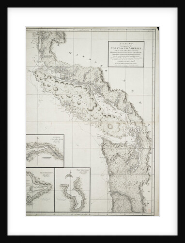
A chart showing part of the coast of north-west America
George Vancouver
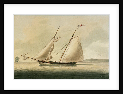
American pilot boat
unknown
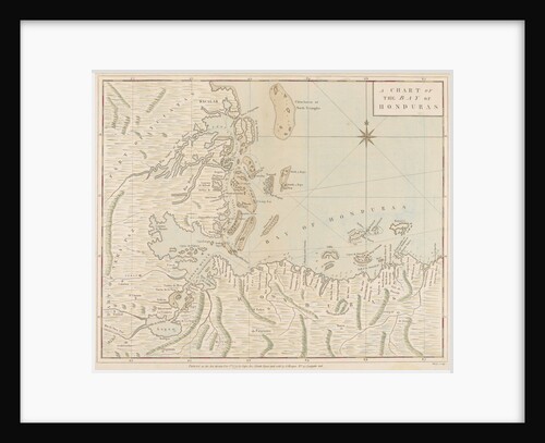
A chart of the Bay of Honduras
Joseph Smith Speer
New York, United States of America
Marine Photo Service
New York, United States of America
Marine Photo Service
Torchlight Procession around the World. Dedicated to Young America! Atlantic Cable celebration
A. Weingartner
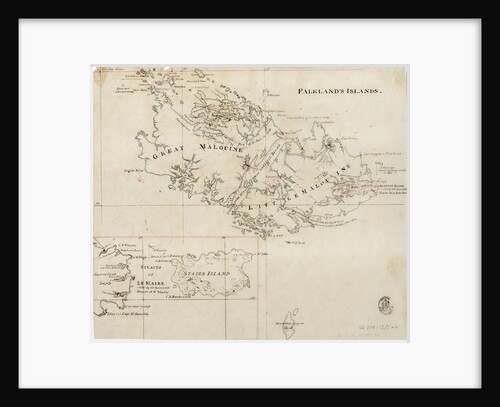
Falkland's Islands
Anonymous
Bonaventura
William Hack
Chart of Ipswich Bay and Cape Ann, Atlantic coast of North America
J.F.W. Des Barres
'America' (1794)
Unknown
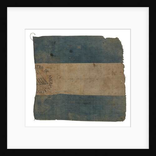
Flag, Federal Republic of Central America
unknown
A view of Louisburg in North America, taken from the Light House when that city was beseiged in 1758
unknown
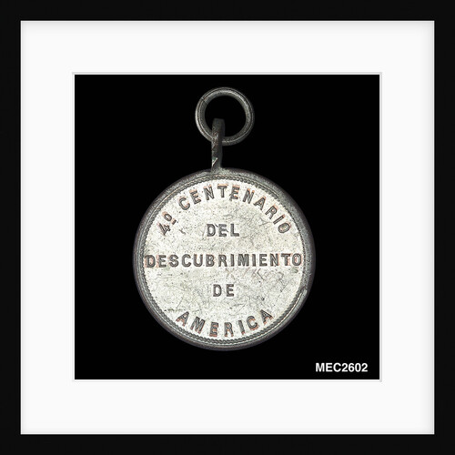
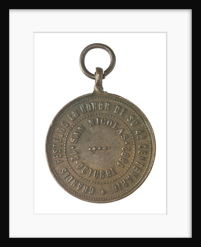
Medal commemorating Christopher Columbus (1451-1506) and the discovery of America, 1492; reverse
unknown
Conway Harbour and Port Aylesbury, North American Atlantic Coast
J.F.W. Des Barres
Map of Chile compiled by Jesuits, 1646
Society of Jesus
Outer anchorage in a calm, Mazatlan [Mexico], Augt 17th 1850
Edward Gennys Fanshawe
Mosquitos and Angadico
William Hack
Medal commemorating Christopher Columbus (1451-1506) and the discovery of America, 1492; reverse
unknown
Newfoundland? 1786
Joseph Sydney Yorke
Caribbean and coasts of America
Joan Martines
Twelve Remarkable Views in North America and West Indies. An East View of Montreal in Canada
unknown
A new & exact map of the island of Barbados in America according to survey made in the years 1717...
William Mayo
Rio de Janeiro
William Lionel Wyllie
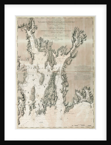
Chart of Port Royal in South Carolina, United States of America
J.F.W. Des Barres
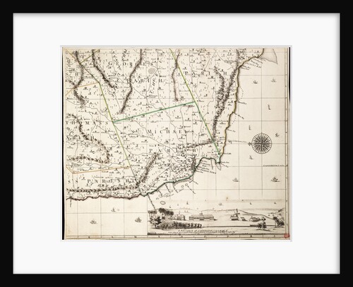
A map of the British and French dominions in North America
John Mitchell
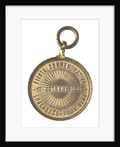
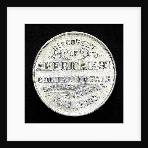
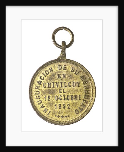
Token commemorating the 400th anniversary of the discovery of America, 1892
unknown
A new & exact map of the island of Barbados in America according to survey made in the years 1717...
William Mayo
Medal commemorating Christopher Columbus (1451-1506) and the discovery of America; reverse
unknown
Medal commemorating Christopher Columbus (1451-1506) and the discovery of America, 1492; reverse
unknown
A new & exact map of the island of Barbados in America according to survey made in the years 1717...
William Mayo
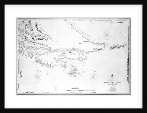
Map of Chile, Patagonia, Tierra del Fuego and the Falkland Islands
Juan de Langara
South America the south-eastern part of Tierra del Fuego with Staten Island, Cape Horn and Diego Ramirez Islands
British Admiralty
Coronadoes, South American Pacific coast
William Hack
1
2
3
…
11
Next »
Recently viewed
Clear history


![Outer anchorage in a calm, Mazatlan [Mexico], Augt 17th 1850 by Edward Gennys Fanshawe](https://previews.magnoliabox.com/nmm/flat/pz4649/MUS-CFPM-16X20_black_500.jpg)