Skip to main content
10% off your first order
☰ Menu
Basket icon
Wishlist icon
Account icon
Search icon
Search icon
Inspiration
Collections
Astrophotography
Battles and wars at sea
Children's
Exploration
Graphic designs
Greenwich
Historic figures
Historic vessels
Maps and charts
Photography
Pirates
Seascapes
Time and space
Natural history
World travel
Ship plans
Gift cards
Contact
Contact us
Newsletter
Search art & photography
Search icon
World map prints
Showing 1 to 48 of 1000
Search these images +
Search World map images
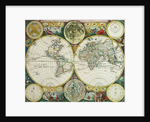
World map by John Seller, 1675
John Seller
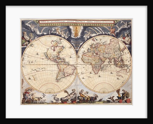
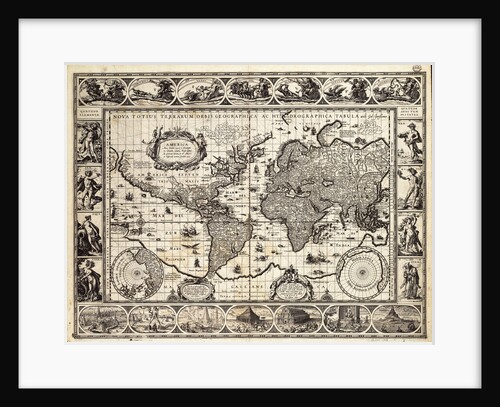
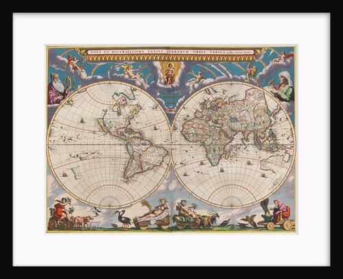
World map from the Blaeu Atlas, 17th century
John Blaeu
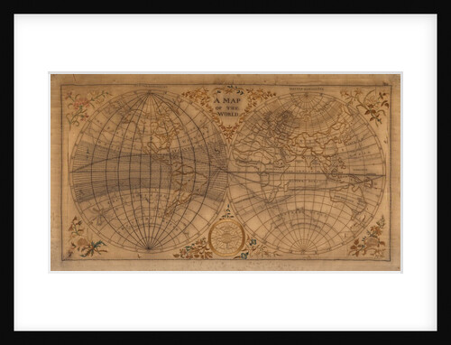
A Map of the World
Unknown
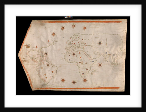
World map on vellum
Brother of Giovanni Verrazano
World map after Ptolemy, 1513
unknown
World map from Ptolemy's Cosmographia of 1492
Ptolemy
World chart by Pierre Hamon, 1568
Pierre Hamon
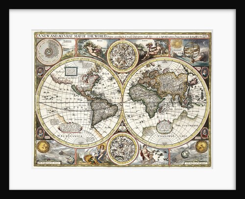
'A new and accurate map of the world' by John Speed, 1626
John Speed
World map, 1567
Nicholas des Liens
Early 17th century map of the world, after Mercator, with inset portraits of explorers (Drake, Magellan, Thomas Cavendish and Oliver...
unknown
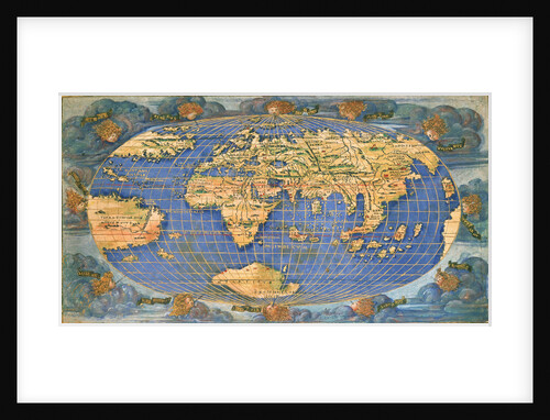
Planisphere world map by Francesco Rosselli, around 1508
Francesco Rosselli
World planisphere
Francesco Rosselli
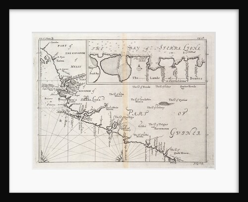
Chart of Sierra Leone, Africa
J. Kip
Mercator map of the world, 1606
W.J. Blaeu
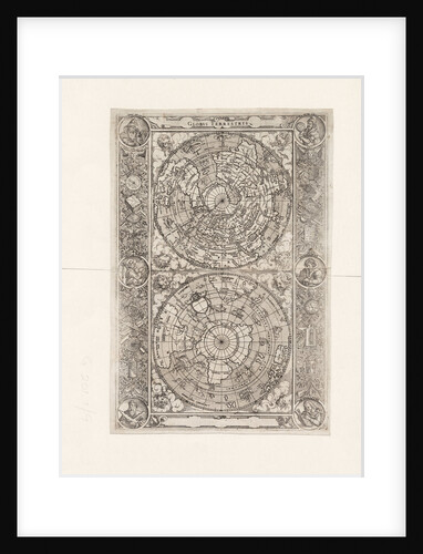
Globus terrestris (Chart)
Jost Amman
A general chart for the purpose of pricking off ship's track from England southward and round the world (detail)
J.S. Hobbs
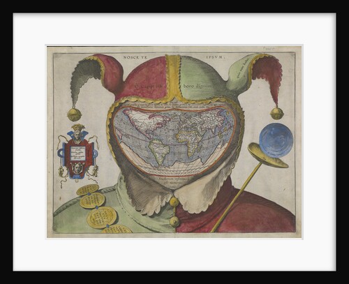
Fool's map of the world
Unknown
A new and correct map of the world (section)
Sayer & Bennett
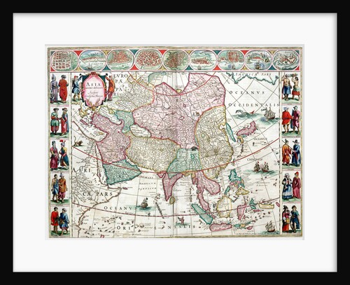
Map of Asia from the Bleau Atlas, 1662-65
unknown
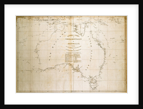
Chart of Terra Australis (Australia)
unknown
A new and correct map of the world (section)
Sayer & Bennett
A new and correct map of the world (section)
Sayer & Bennett
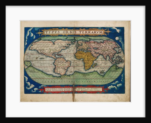
Typus Orbis Terrarum (Image of the globe of the world)
Unknown
Planisphaerium terrestre sive terrarum orbis
Carel Allard
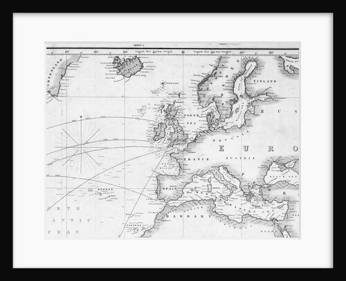
Chart of the North Atlantic Ocean
James Imray & Son; James Imray
A new and correct map of the world (section)
Sayer & Bennett
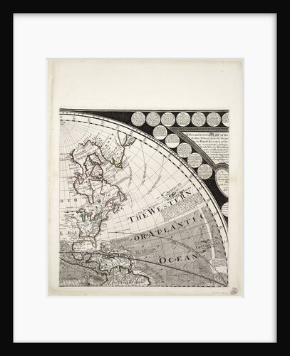
A new and correct sea chart of the whole world showing the variations of the compass as they were found...
Edmond Halley
A new and correct sea chart of the whole world showing the variations of the compass as they were found...
Edmond Halley
Map of Chile, Patagonia, Tierra del Fuego and the Falkland Islands
Juan de Langara
North America
Cushee
Chart of Cadiz
Joseph Smith Speer
Chart of the Americas
Nikolaus Visscher
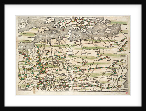
Map of central and northern Europe, 1493
Hieronymus Munzer
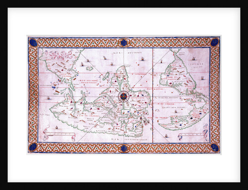
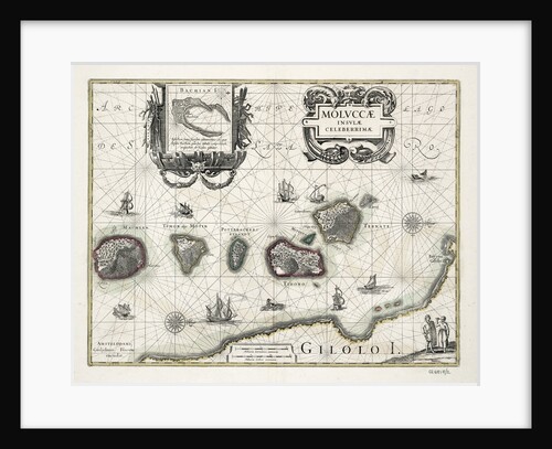
Chart of the Moluccas, Indonesia
Willem Blaeu
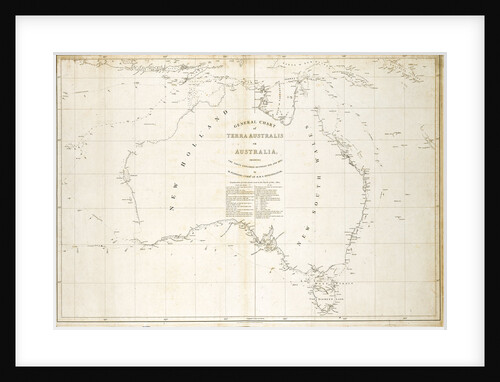
Map of Australia
Matthew Flinders
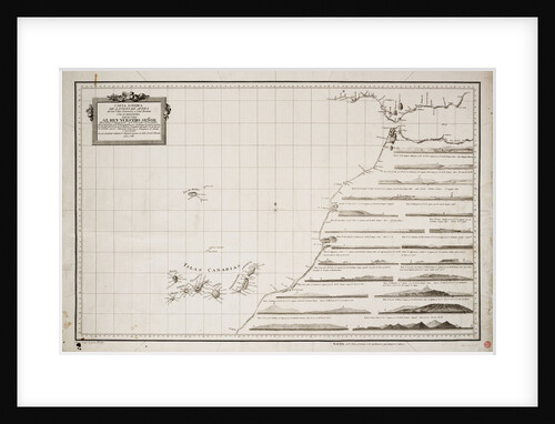
Map of the west coast of Africa and the Canary islands
D Joseph Varelay Ulloa
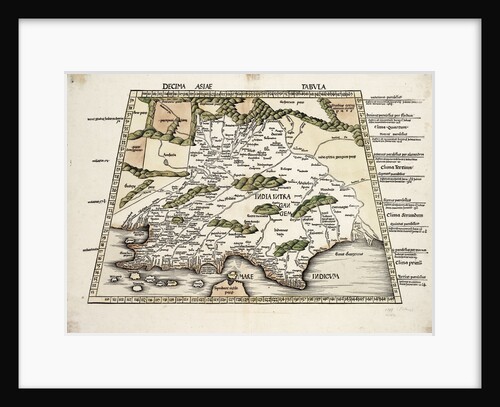
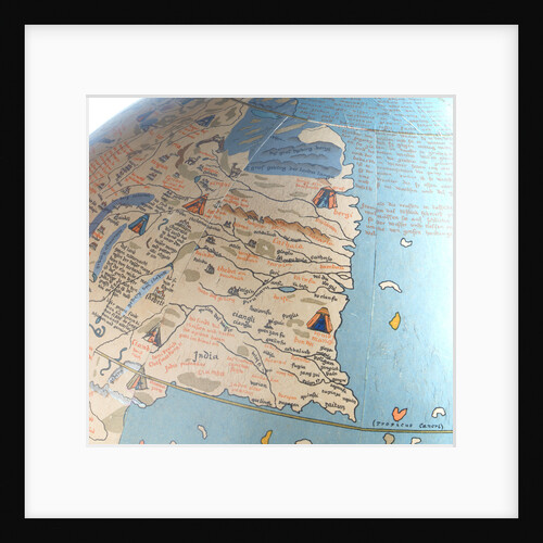
Conical projection of India
Ptolemy
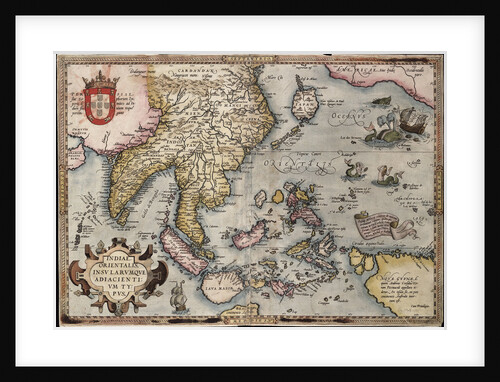
Map of the East Indies by Ortelius
Abraham Ortelius
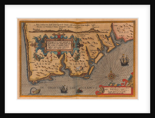
Speculum nauticum super navigatione maris occidentalis confectu, continens omnes oras maritimas Galliae, Hispaniae, and praecipuarum partium Angliae
Lucas Janz Waghenaer
Le Grand Atlas, ou Cosmographie Blauiane
Joan Blaeu
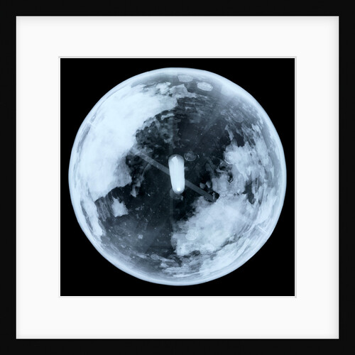
Globe x-ray
unknown
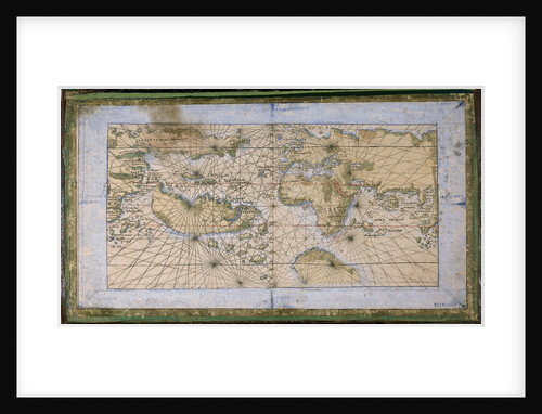
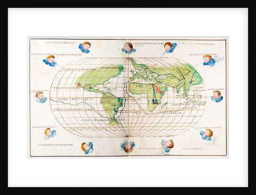
Oval planisphere of the world showing Magellan's track, 1554
Battista Agnese
Celestial table globe
unknown
Cartouche in North Pacific Ocean
Thomas Patrick
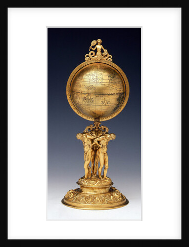
Sphere and stand
Johann Reinhold
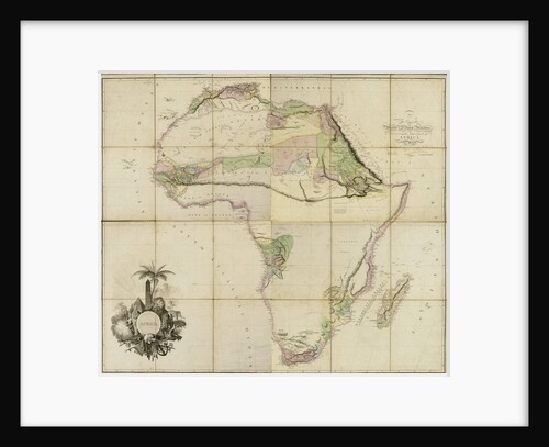
Map of Africa, 1802
A. Arrowsmith
Martinus, West of Spain
Martin Behaim
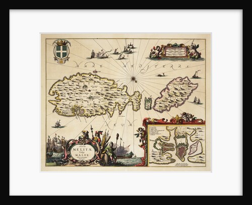
Map of Malta and Gozo
unknown
1
2
3
…
21
Next »
Recently viewed
Clear history