Skip to main content
10% off your first order
☰ Menu
Basket icon
Wishlist icon
Account icon
Search icon
Search icon
Inspiration
Collections
Astrophotography
Battles and wars at sea
Children's
Exploration
Graphic designs
Greenwich
Historic figures
Historic vessels
Maps and charts
Photography
Pirates
Seascapes
Time and space
Natural history
World travel
Ship plans
Gift cards
Contact
Contact us
Newsletter
Search art & photography
Search icon
Home
Collections
Products
Products
page 168
Showing 8017 to 8064 of 25001
Featured
A-Z
Z-A
Oldest to newest
Newest to oldest
Bestselling
Products
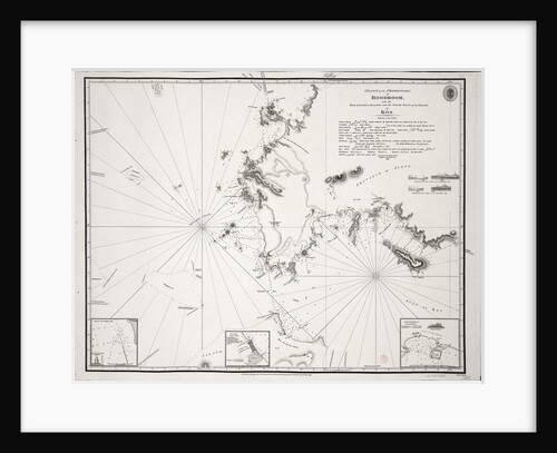
Chart of the Promontory of Boodroom with the Karabaghla Islands and the North Point of the Island of Kos ......
Francis Beaufort
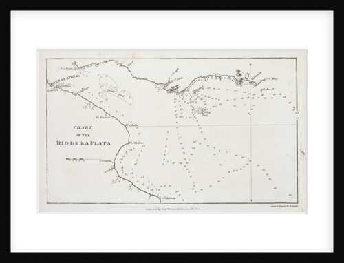
Chart of the Rio de la Plata (river Plate)
Arrowsmith
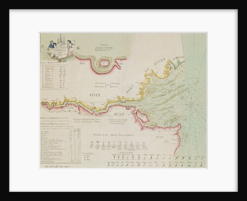
Chart of the River Thames and Estuary, 1790
Richard Stanier
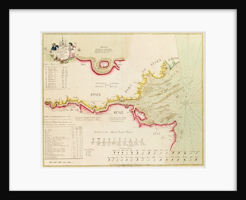
Chart of the River Thames from London to the Nore, Margate and the Downs, North, Middle and South Channels, from...
Richard Stanier
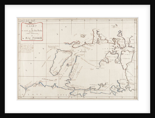
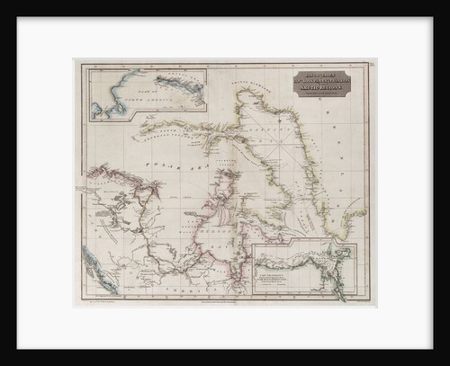
Chart of the search for Sir John Franklin and discovery of the North West Passage
Edward Augustus Inglefield
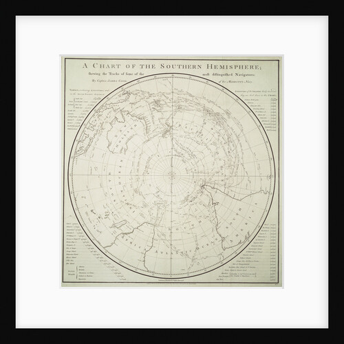
Chart of the Southern Hemisphere showing pre-Cook journeys and discoveries
James Cook
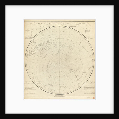
Chart of the southern hemisphere, post Cook
Georg Forster
Chart of the Suez Canal, 1870-1871
Hydrographic Office
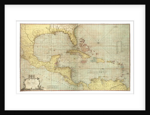
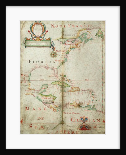
Chart of the West Indies
Joseph Smith Speer
Chart of the western Atlantic, 1678
Joel Gascoyne
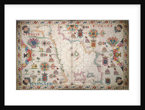
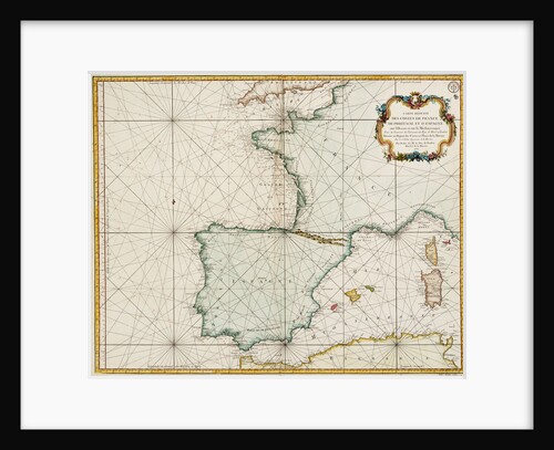
Chart of the western Mediterrean
unknown
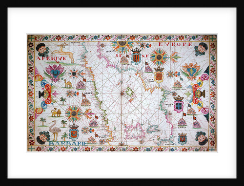
Chart of the western Mediterrean showing the north African and Spanish coasts, 17th century
Cavolini
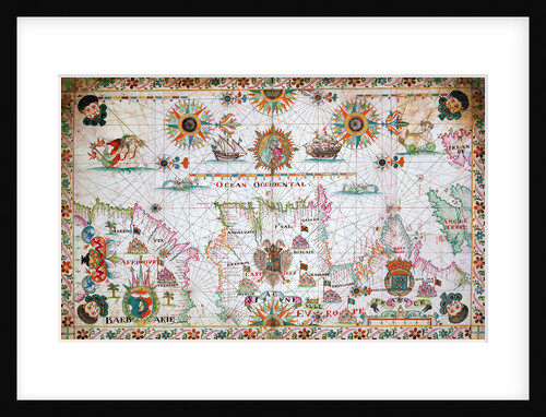
Chart of the western Mediterrean showing the north African and Spanish coasts, and the Atlantic, 17th century
Cavolini
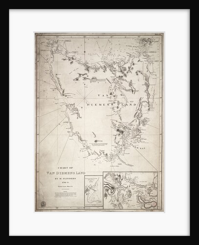
Chart of Van Diemens Land, sheet VI
Matthew Flinders
Chart of western Europe showing Paris meridian as the Prime
Jacques Nicolas Bellin
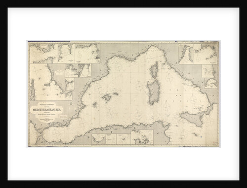
Chart of Western Mediterranean
James Imray & Son
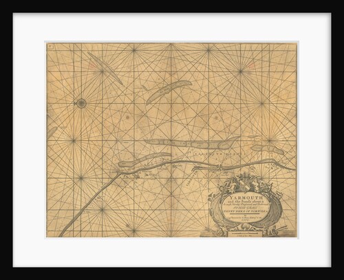
Chart of Yarmouth and the sands about it
Greenville
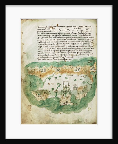
Chart of Zakinthos
Cristoforo Buondelmonti
Chart showing discoveries of Ross, Parry and Franklin in the Arctic during 1818-1827
Thomson
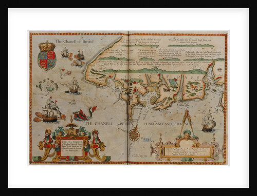
Chart showing the Bristol and English Channel
Lucas Jansz Waghenaer
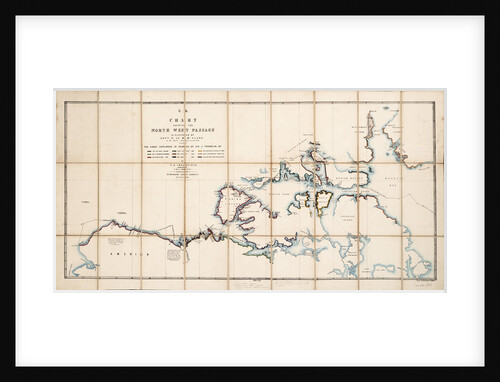
Chart showing the North West Passage discovered by Captain R. Le M. McClure, HMS 'Investigator'
E.A. Inglefield
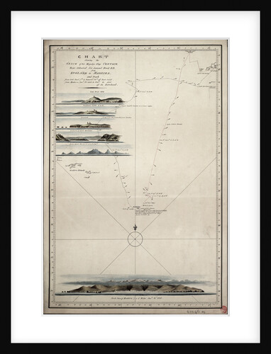
Chart showing the track of His Majesty's ship 'Centaur' (1797) from England to Madeira and back
Anonymous
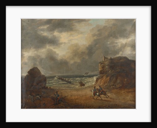
Chasing smugglers on a rocky coast
unknown
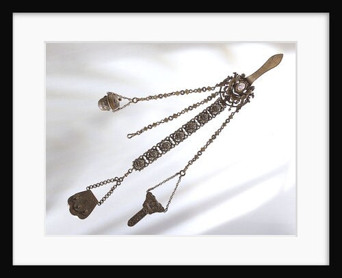
Chatelaine
unknown
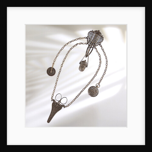
Chatelaine
unknown
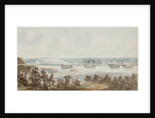
Chatham
George Bulteel Fisher
Chatham (1721) Plan showing the body plan, sheer lines with some inboard detail, and longitudinal half-breadth with platform details
Unknown
Chatham (1788)
Unknown
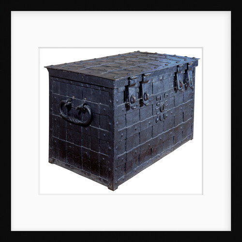
Chatham chest
unknown
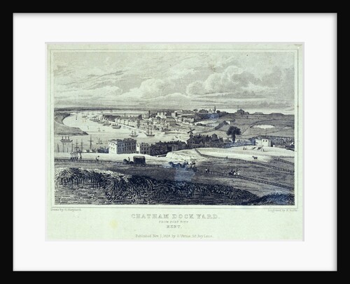
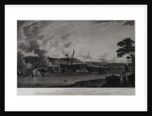
Chatham Dock Yard from Fort Pitt Kent
George Shepherd
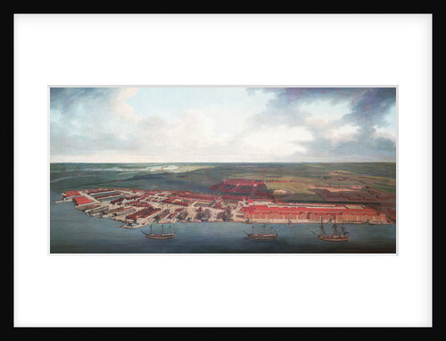
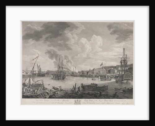
Chatham Dockyard
Joseph Farington
Chatham dockyard
Richard Paton
Chatham dockyard
Robert Dodd
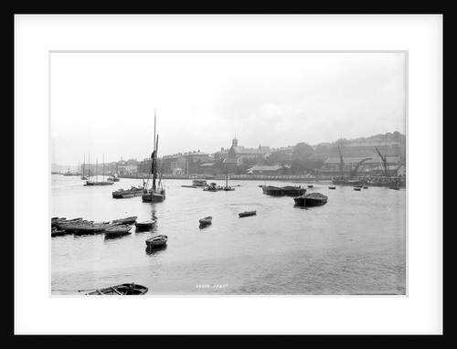
Chatham, Kent, looking north-north-east from Sun Pier down the River Medway
National Maritime Museum
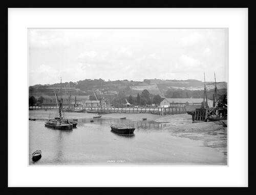
Chatham, Kent, looking north-north-east from Sun Pier down the River Medway
National Maritime Museum
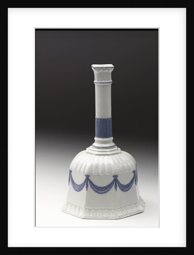
Cheese dish
B. Watt
Cheese dish
B. Watt
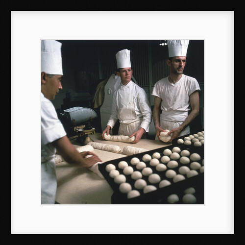
Chefs preparing breakfast aboard Union-Castle liner 'Windsor Castle'
Marine Photo Service
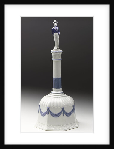
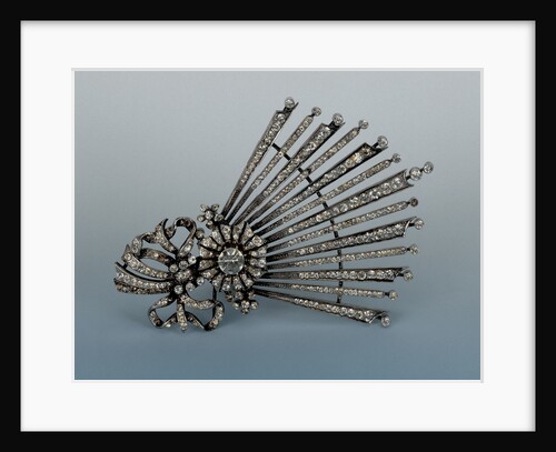
Chelengk
Unknown
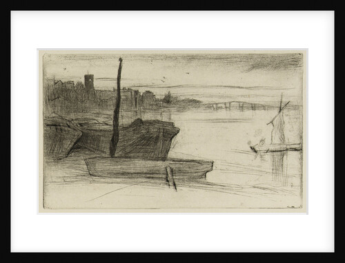
Chelsea Bridge and Church
James Abbott McNeill Whistler
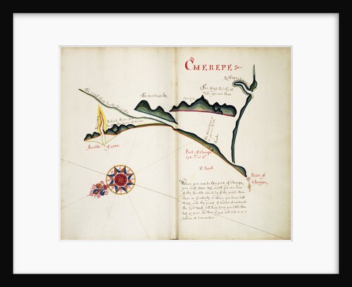
Cherepe
William Hack
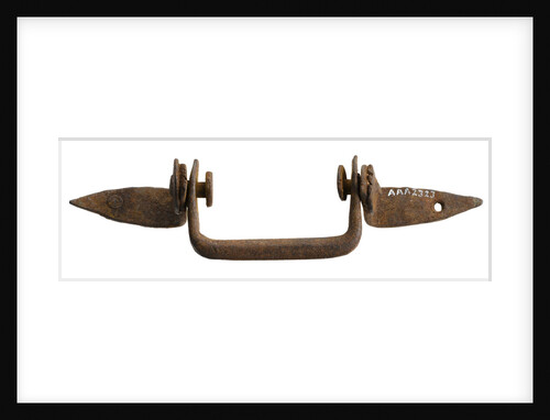
Chest handle
unknown
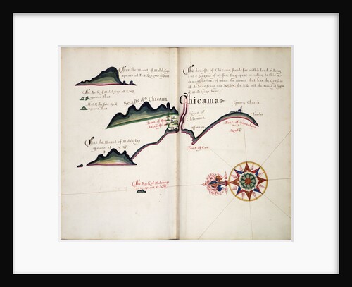
Chicama
William Hack
Chichester (1843)
Unknown
Chichester (1843)
Unknown
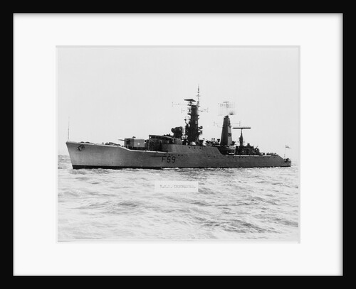
Chichester (1955)
Anonymous
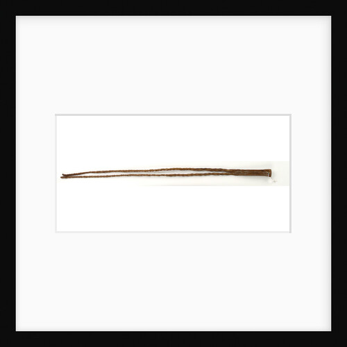
Chicotte (whip)
unknown
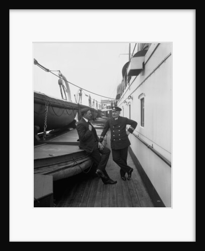
Chief Steward of the 'Empress of Asia' (1913)
Bedford Lemere & Co.
« Previous
1
…
166
167
168
169
170
…
521
Next »
Recently viewed
Clear history