Skip to main content
10% off your first order
☰ Menu
Basket icon
Wishlist icon
Account icon
Search icon
Search icon
Inspiration
Collections
Astrophotography
Battles and wars at sea
Children's
Exploration
Graphic designs
Greenwich
Historic figures
Historic vessels
Maps and charts
Photography
Pirates
Seascapes
Time and space
Natural history
World travel
Ship plans
Gift cards
Contact
Contact us
Newsletter
Search art & photography
Search icon
Home
Collections
Products
Products
page 167
Showing 7969 to 8016 of 25001
Featured
A-Z
Z-A
Oldest to newest
Newest to oldest
Bestselling
Products
Chart of River Thames from London to the Buoy of the Noure
unknown
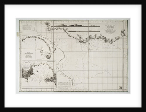
Chart of river Valdivia and surroundings, Chile
Luis de Surville
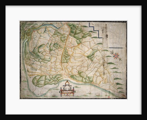
Chart of Romney Marsh
Elhanan Tucker
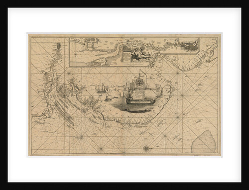
Chart of Santiago Astata and Bahia Ventosa
Basil Ringrose
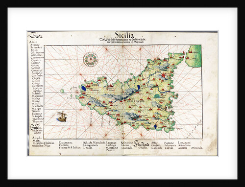
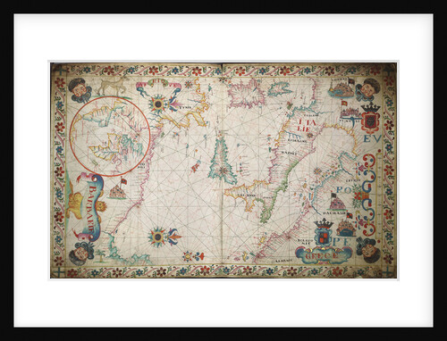
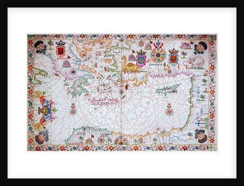
Chart of Sicily, 1554
Battista Agnese
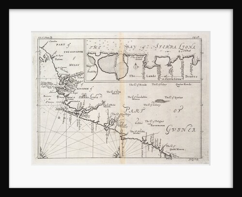
Chart of Sierra Leone, Africa
J. Kip
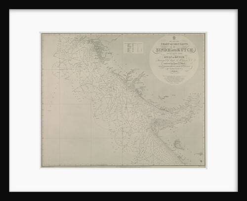
Chart of Sindh and Kutch coasts
British Admiralty
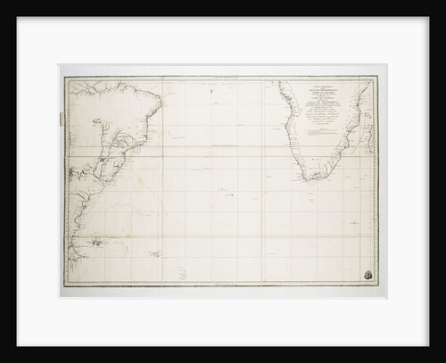
Chart of South America and the Atlantic Coast
Juan de Langara
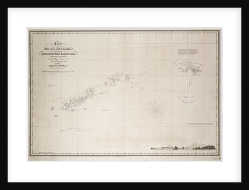
Chart of South Shetland including Coronation Island, from the exploration of the sloop Dove in the years 1821 and 1822...
George Powell
Chart of southern Mediterrean and Adriatic
unknown
Chart of southern United States showing Mississippi river and Saint Louis
unknown
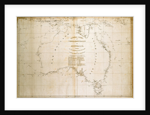
Chart of Terra Australis (Australia)
unknown
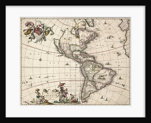
Chart of the Americas
Nikolaus Visscher
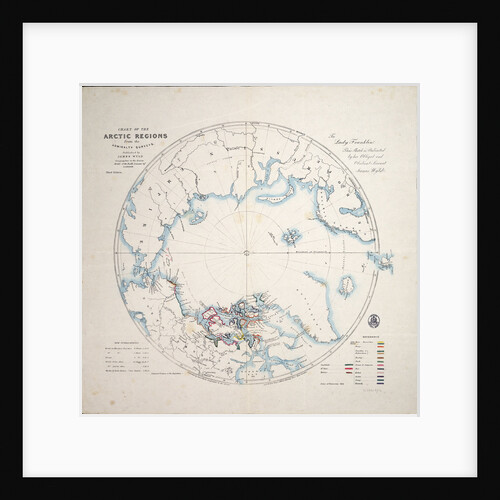
Chart of the Arctic regions from the Admiralty surveys, third edition
James Wyld
Chart of the Atlantic Ocean south of the Equator, 1785
Deposito Hidrografico
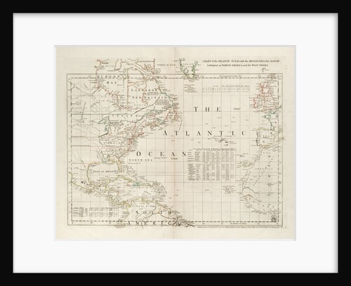
Chart of the Atlantic Ocean, with the British, French & Spanish settlements in North America and the West Indies
Thomas Jefferys
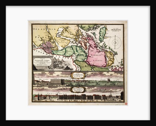
Chart of the Baltic Sea with views of Stockholm
J.B. Homann
Chart of the Black Sea
unknown
Chart of the Black Sea, 17th century
Cavolini
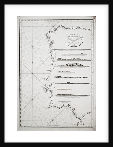
Chart of the coasts of Spain and Portugal, from Cape Pinas to the Strait of Gibraltar, constructed and carefully drawn...
P Steel
Chart of the eastern Mediterrean
unknown
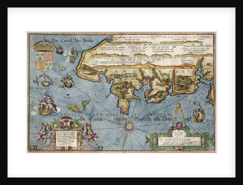
Chart of the English Channel
Lucas Jansz Wagenaer
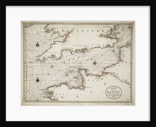
Chart of the English Channel and the Atlantic coasts of southern Britain and northern France
Nicolas Sanson
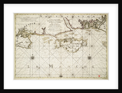
Chart of the English coast, Isle of Wight and Portsmouth harbour
Alexis Hubert Jaillot
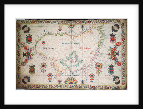
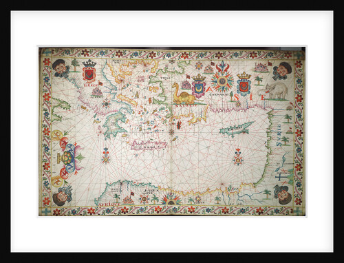
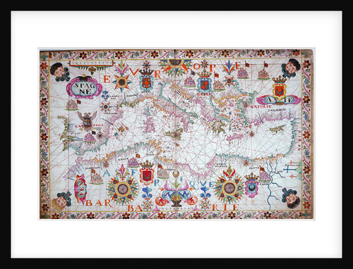
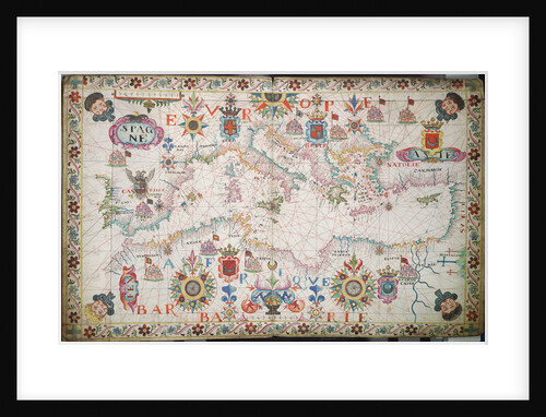
Chart of the entire Mediterrean, 17th century
Cavolini
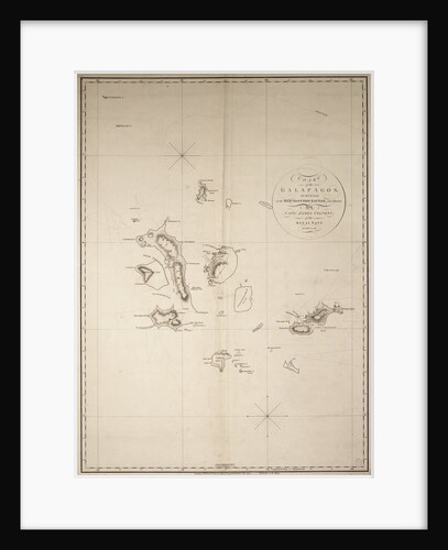
Chart of the Galapagos, surveyed in the merchant ship 'Rattler', and drawn by Captain James Colnett, of the Royal Navy....
James Colnett
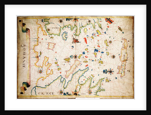
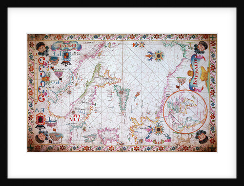
Chart of the Greek archipelago
Unknown
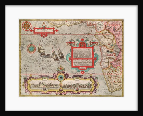
Chart of the Guinea coast, Manicongo and Angola as far as the Cape of Good Hope
A.F. van Langren
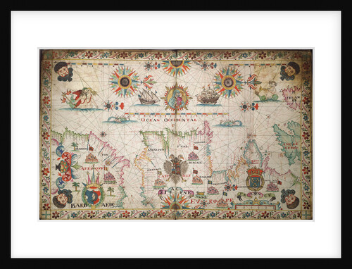
Chart of the Gulf of Mexico and Caribbean islands, 1742
Miol Polo
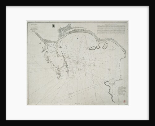
Chart of the harbour of Point de Galle. Surveyed in January and March 1800, by Captain David Inverarity. To whom...
Alexander Dalrymple
Chart of the harbour of Rio de Janeiro, Brazil
Edward Gennys Fanshawe
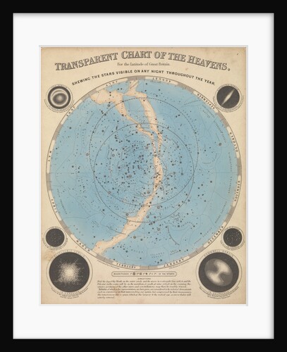
Chart of the heavens
James Reynolds
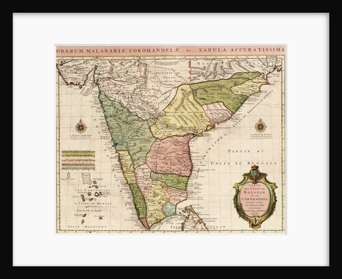
Chart of the Indian Ocean
Guillaume de L'Isle
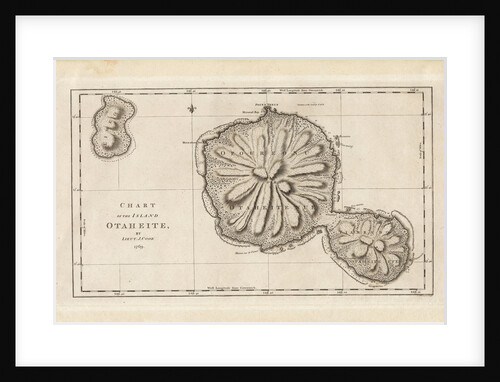
Chart of the Island Otaheite (Tahiti) by James Cook, 1769
James Cook
Chart of the Mediterranean circa 1640
Joan Oliva
Chart of the Mediterranean, 1694
Romain de Hooge
Chart of the Mediterranean, 1730
Charles Price
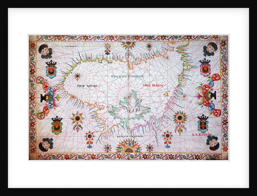
Chart of the Mediterrean, 17th century
Cavolini
Chart of the Mediterrean, Black and Caspian Seas
unknown
Chart of the Mediterrean, showing Italy and the north African coast, 17th century
Cavolini
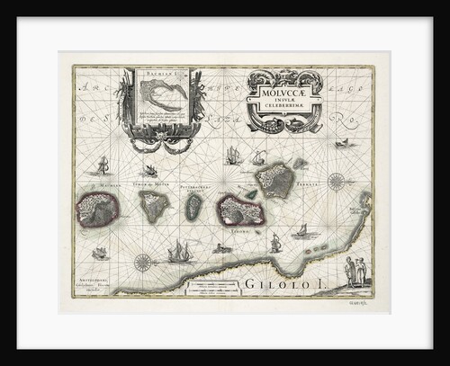
Chart of the Moluccas, Indonesia
Willem Blaeu
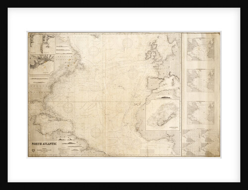
Chart of the North Atlantic Ocean
James Imray & Son; James Imray
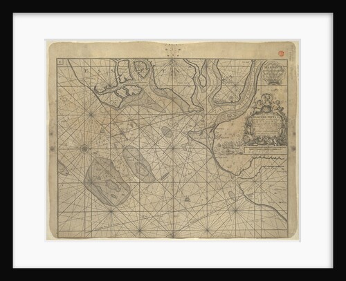
Chart of the North Sea
Cornelius Martin Wohlers
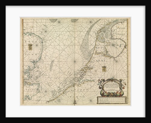
Chart of the North Sea and Dutch coast, 1661
Mount & Page
Chart of the North Sea dedicated to 'Ye Honble Samuel Pepys Esq by Captain Greenvil Collins Hydrog to the King...
Captain Greenville Collins
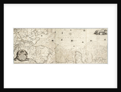
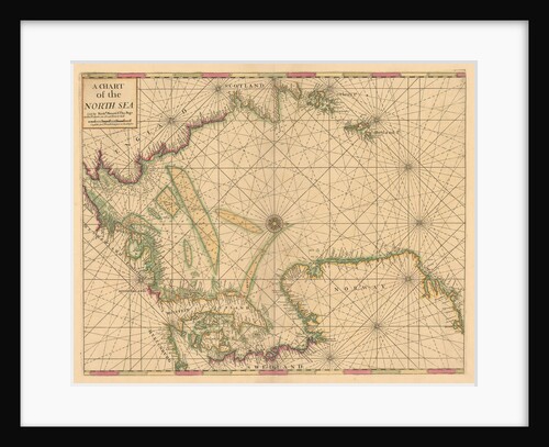
Chart of the North Sea: Norway to the Dover Straits
Mount & Page
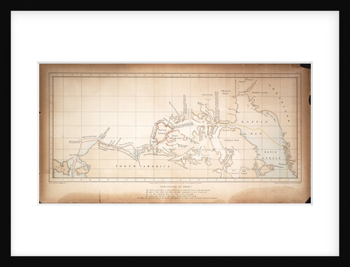
Chart of the North West Passage
S. Gurney Cresswell; Day & Son
Chart of the north-east Atlantic, from Ireland to Cape Verde
unknown
« Previous
1
…
165
166
167
168
169
…
521
Next »
Recently viewed
Clear history