Skip to main content
10% off your first order
☰ Menu
Basket icon
Wishlist icon
Account icon
Search icon
Search icon
Inspiration
Collections
Astrophotography
Battles and wars at sea
Children's
Exploration
Graphic designs
Greenwich
Historic figures
Historic vessels
Maps and charts
Photography
Pirates
Seascapes
Time and space
Natural history
World travel
Ship plans
Gift cards
Contact
Contact us
Newsletter
Search art & photography
Search icon
B. England
Showing 1 to 48 of 1000
Mariner's astrolabe
B. England
The First of England, 1998
Humphrey Ocean
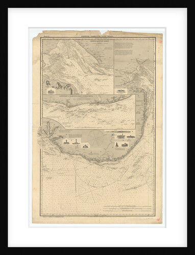
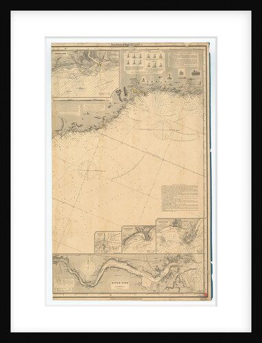
England East Coast: Benacre Ness to Landguard Point
unknown
The English and French fleets in the Baltic, 1854
Oswald Walter Brierly
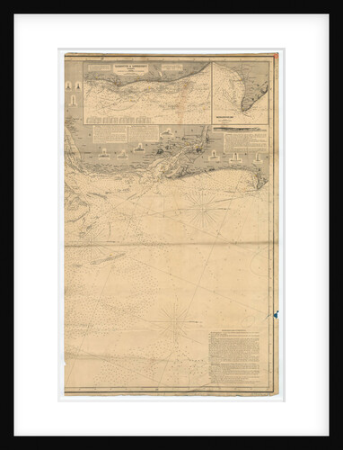
England East Coast
British Admiralty
England East Coast
British Admiralty
Medal commemorating Danish assistance to England; reverse
B. Meier
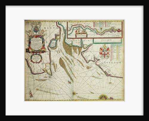
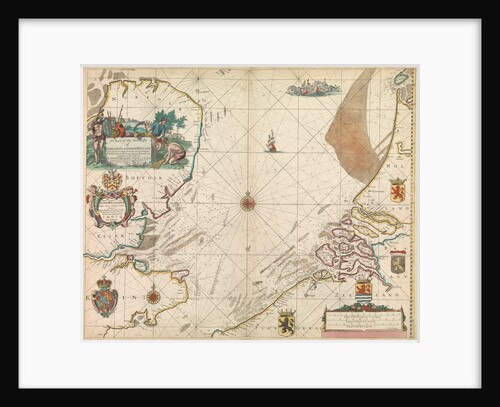
The coast of England from the Southforeland to Orfordness
John Seller
Portsmouth in England
Unknown
Medal commemorating Danish assistance to England; obverse
B. Meier
Nelson's last farewell to England...
Eyre Crowe
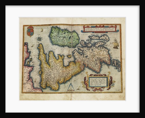
Angliae, Scotiae, et Hiberniae, sive Britannicar: Insularum descriptio (England, Scotland and Ireland, otherwise known as the British Isles)
Abraham Ortelius
England's Pride and Glory
Thomas Davidson
A chart of the sea coasts of England, Flanders and Holland
John Seller
Union between England & Ireland
William Holland
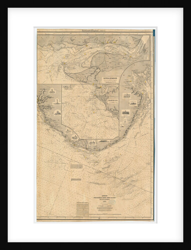
England East Coast: Harwich to Flamborough Head
Charles Wilson
The English and French Fleets in the Baltic, 1854
Jonathan Needham
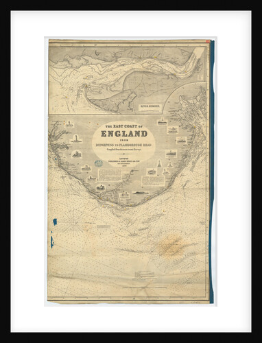
England East Coast from Dungeness to Flamborough Head
James Imray & Son
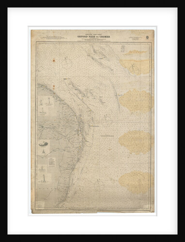
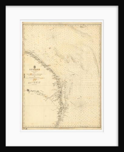
England East Coast: Orford Ness to Crome
British Admiralty
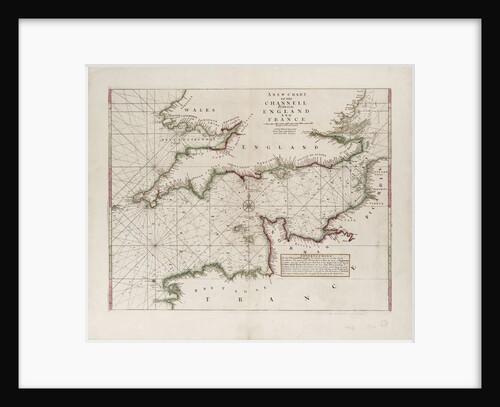
A chart of the Channel between England and France, 1702
Mount & Page
Map of England, Ireland and Scotland
Ptolemy
England East Coast. Sheet 2
James Imray & Son
Page from Charles Knight's 'Old England: A Pictorial Museum'
unknown
Map of Bay of Biscay and English Channel
Thomas Hood
England expects every Man to do his duty...
William Marshall Craig
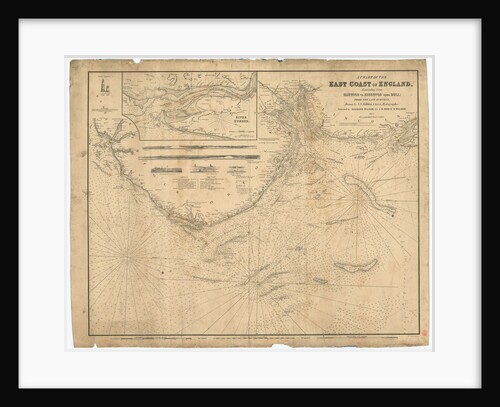
England East Coast: Harwich to Kingston Upon Hull
J.S. Hobbs
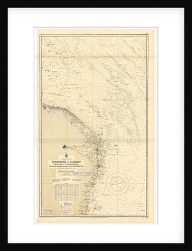
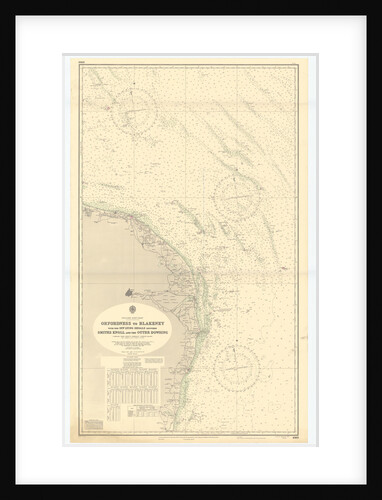
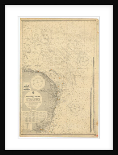
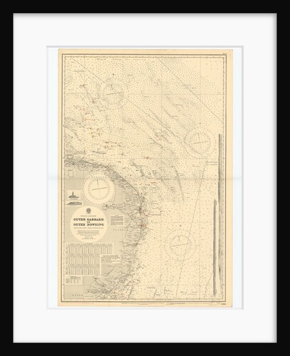
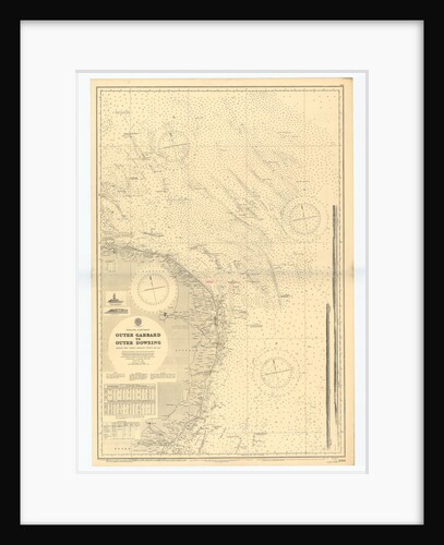
England East Coast: Outer Gabbard to Outer Dowsing
British Admiralty
England East Coast. Sheet 4
James Imray & Son
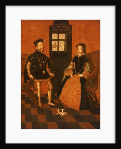
Mary I of England (1516-58) and Philip II of Spain (1527-98)
English School
Portrait of a Gentleman
English School
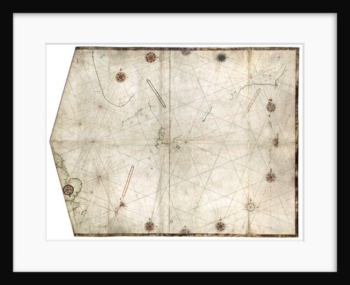
Portulan chart constructed by William Borough showing the sea area of the North Sea and Baltic, from the east coast...
William Borough
England East Coast from Dungeness to Flamborough Head
James Imray & Son
England East Coast: Southwolds to Cromer
British Admiralty
The cities and market towns in England and Wales
Sutton Nicholls
England-East Coast. Outer Gabbard to Outer Dowsing
British Admiralty
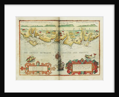
The sea coastes of England between the Isle of Wight and Dover, with the principal havens thereof according to their...
Lucas Janz Waghenaer
An English squadron going to windward
Charles Brooking
Three masts and rigging showing the flag signal 'England expects that every man will do his duty', annotated
William Lionel Wyllie
Page from Charles Knight's 'Old England: A Pictorial Museum'
unknown
The English and French fleets in the Baltic, 1854
Oswald Walter Brierly
Page from Charles Knight's 'Old England: A Pictorial Museum'
Unknown
Page from Charles Knight's 'Old England: A Pictorial Museum'
unknown
Page from Charles Knight's 'Old England: A Pictorial Museum'
unknown
England East Coast from Thames Estuary to the Wash
Grenville Collins
England East Coast from Thames Estuary to the Wash
Grenville Collins
Page from Charles Knight's 'Old England: A Pictorial Museum'
Unknown
English Channel
unknown
England-East Coast. Outer Gabbard to Outer Dowsing
British Admiralty
1
2
3
…
21
Next »
Recently viewed
Clear history