Skip to main content
10% off your first order
☰ Menu
Basket icon
Wishlist icon
Account icon
Search icon
Search icon
Inspiration
Collections
Astrophotography
Battles and wars at sea
Children's
Exploration
Graphic designs
Greenwich
Historic figures
Historic vessels
Maps and charts
Photography
Pirates
Seascapes
Time and space
Natural history
World travel
Ship plans
Gift cards
Contact
Contact us
Newsletter
Search art & photography
Search icon
Cartographic source: after 1651 prints
Showing 1 to 48 of 1000
Search these images +
Search Cartographic source: after 1651 images
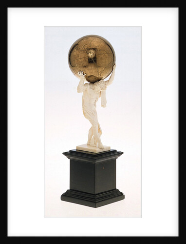
Terrestrial table globe
Unknown
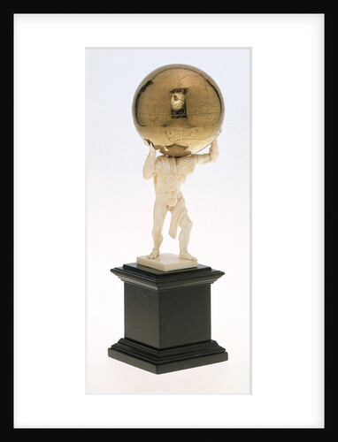
Sphere and stand
unknown
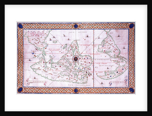
World chart by Pierre Hamon, 1568
Pierre Hamon
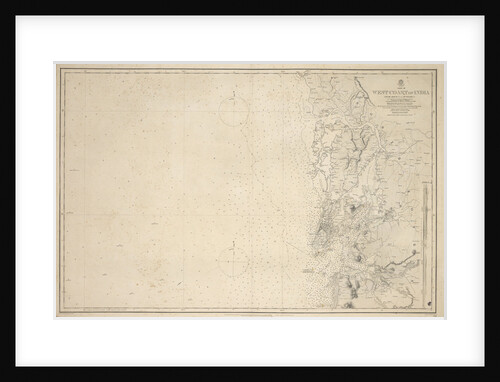
Chart of Arnola Island, 1884
unknown
World map after Ptolemy, 1513
unknown
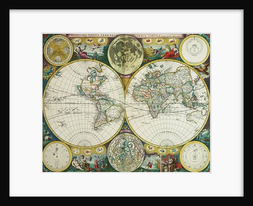
Early 17th century map of the world, after Mercator, with inset portraits of explorers (Drake, Magellan, Thomas Cavendish and Oliver...
unknown
World map by John Seller, 1675
John Seller
Lines and profile plan for 'Frederic' (fl.1781) and 'Pelican' (1781)
Unknown
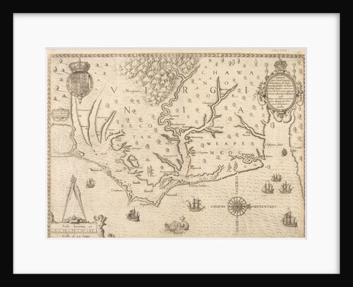
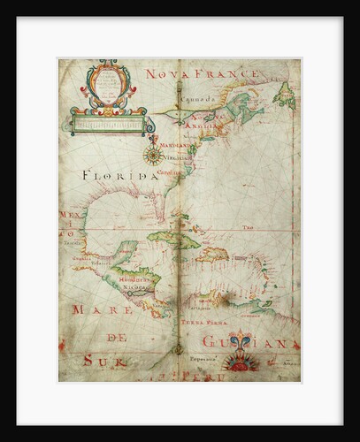
Map of Virginia
unknown
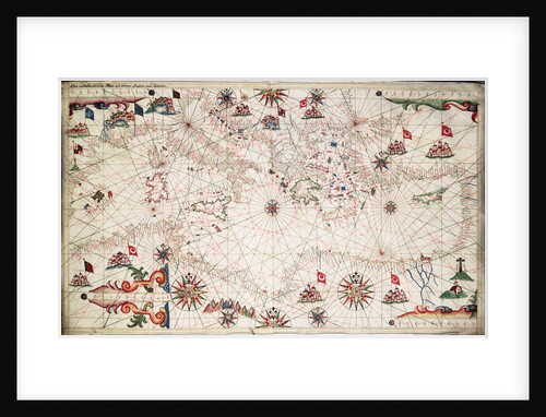
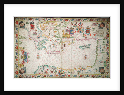
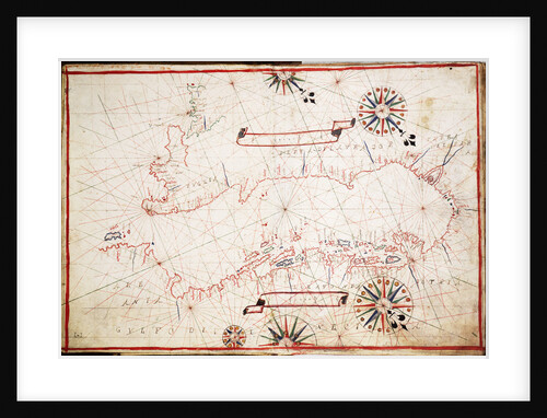
Chart of the Mediterranean circa 1640
Joan Oliva
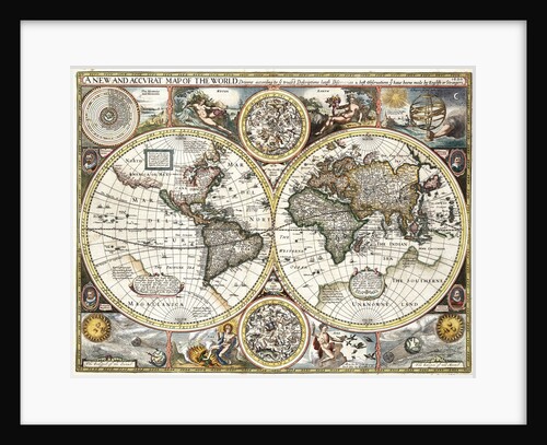
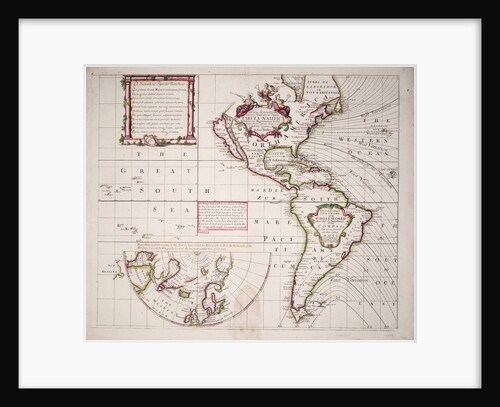
'A new and accurate map of the world' by John Speed, 1626
John Speed
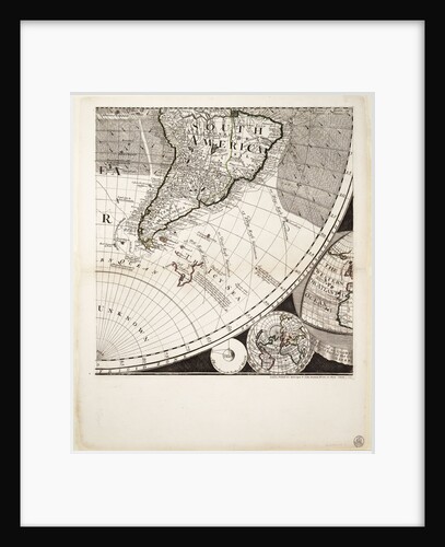
A new and correct map of the world (section)
Sayer & Bennett
'Hampshire' (1741); 'Sutherland' (1741); 'Leopard' (1741); 'Nonsuch' (1741)
Unknown
Chart of the eastern Mediterrean
unknown
Upper Deck, Quarter Deck and Forecastle plan for 'Crown' (1747)
Unknown
Supply (1759)
Unknown
Lines & profile plan for HMS 'Racer' (1810)
Unknown
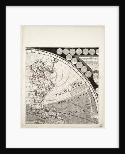
Chart of the western Atlantic, 1678
Joel Gascoyne
The 'Rose' (1757) deck plan
Unknown
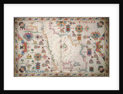
Chart of the western Mediterrean
unknown
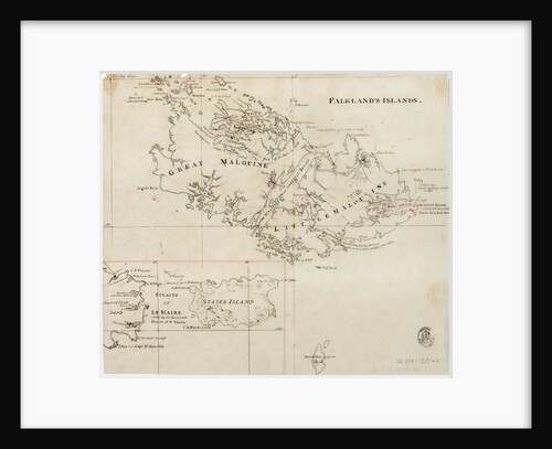
Falkland's Islands
Anonymous
World map from Ptolemy's Cosmographia of 1492
Ptolemy
Adriatic chart, circa 1620
unknown
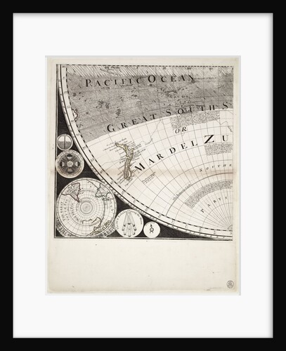
A new and correct sea chart of the whole world showing the variations of the compass as they were found...
Edmond Halley
Deck, quarter & forecastle plan of Andromache (1781)
Unknown
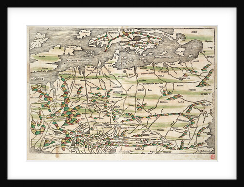
Map of central and northern Europe, 1493
Hieronymus Munzer
A new and correct map of the world (section)
Sayer & Bennett
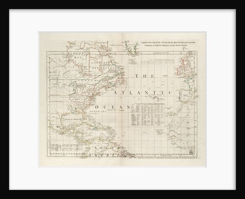
Chart of the Atlantic Ocean, with the British, French & Spanish settlements in North America and the West Indies
Thomas Jefferys
Upper deck plan for the 'Crown' (1747)
Unknown
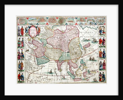
Map of Asia from the Bleau Atlas, 1662-65
unknown
A new and correct map of the world (section)
Sayer & Bennett
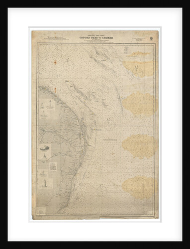
England East Coast: Orford Ness to Crome
British Admiralty
'Prince Edward' (captured 1781)
Unknown
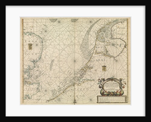
Chart of the North Sea and Dutch coast, 1661
Mount & Page
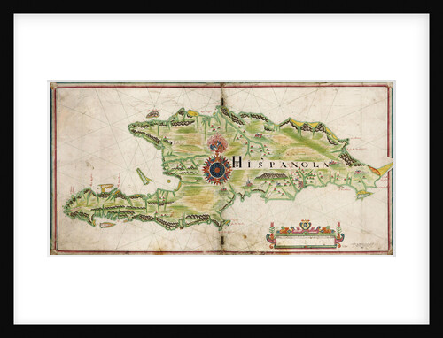
Map of Hispaniola, 1653
Nicholas Comberford
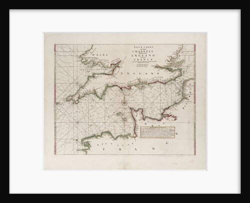
A chart of the Channel between England and France, 1702
Mount & Page
Upper deck plan for 'Anson' (1781)
Unknown
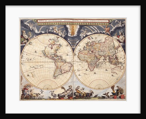
World map from the Blaeu Atlas, 17th century
John Blaeu
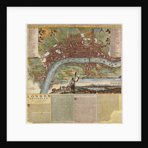
A Dutch map showing areas devastated by the Great Fire of London, 1666
unknown
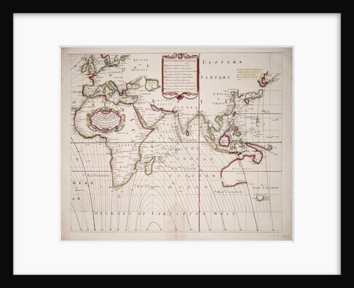
A new and correct sea chart of the whole world showing the variations of the compass as they were found...
Edmond Halley
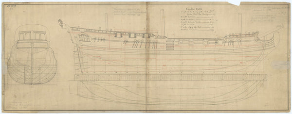
Lines and profile plan for Royal Caroline (1750)
unknown
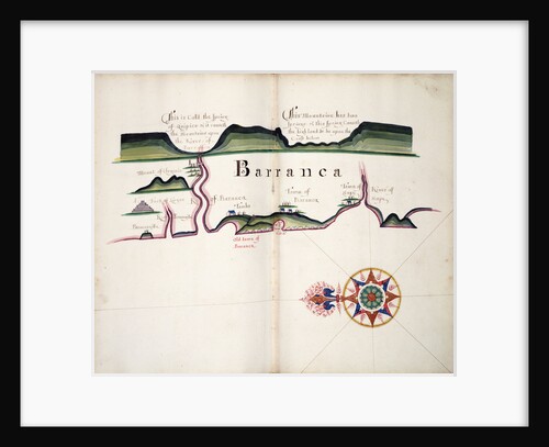
Barranca
William Hack
'Plantagenet' (1801)
Unknown
Lines plan for HMS 'Spy' (1776)
Unknown
'Grafton' (1750); 'Somerset' (1748); 'Northumberland' (1750); 'Orford' (1749); 'Swiftsure' (1750); 'Vanguard' (1748); 'Buckingham' (1751)
Unknown
Body plan of Snake (1798); Victor (1798); Cruiser (1797); Ferret (1806); Scorpion (1803); Swallow (1805); Musquito (1804); Scout (1804); Despatch...
unknown
Centaur (captured 1759)
Unknown
'Ferret' (1760)
unknown
1
2
3
…
21
Next »
Recently viewed
Clear history