Skip to main content
10% off your first order
☰ Menu
Basket icon
Wishlist icon
Account icon
Search icon
Search icon
Inspiration
Collections
Astrophotography
Battles and wars at sea
Children's
Exploration
Graphic designs
Greenwich
Historic figures
Historic vessels
Maps and charts
Photography
Pirates
Seascapes
Time and space
Natural history
World travel
Ship plans
Gift cards
Contact
Contact us
Newsletter
Search art & photography
Search icon
Charts prints
Showing 1 to 48 of 903
Search these images +
Search Charts images
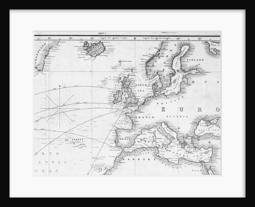
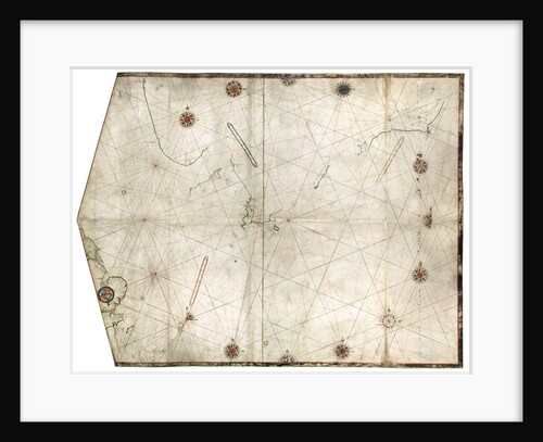
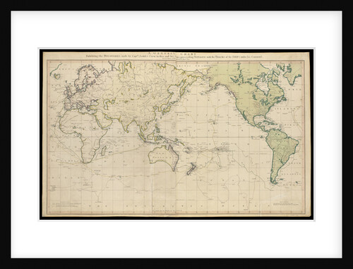
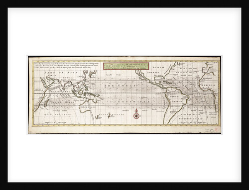
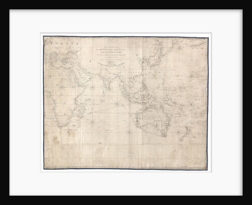
A general chart for the purpose of pricking off ship's track from England southward and round the world (detail)
J.S. Hobbs
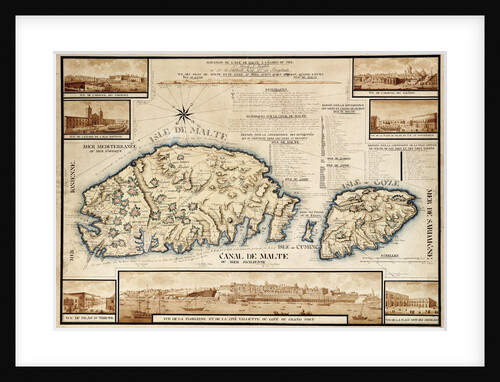
French chart of Malta, circa 1798
unknown
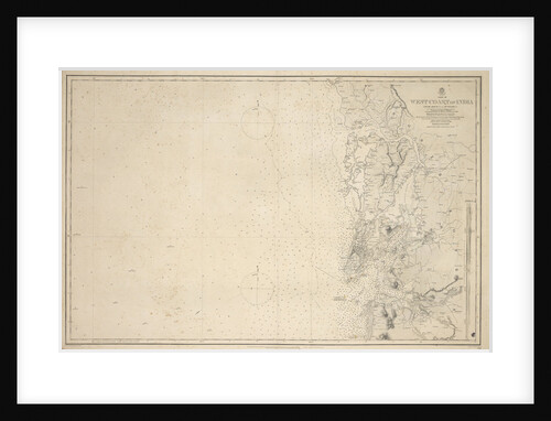
Chart of Arnola Island, 1884
unknown
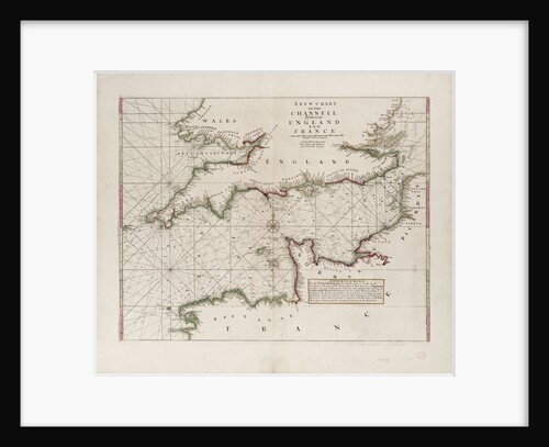
A chart of the Channel between England and France, 1702
Mount & Page
Part of a southern hemisphere star chart from Reiner Ottens's Atlas Maior (1730), with the Greenwich Observatory (left) and the...
Reiner Otten
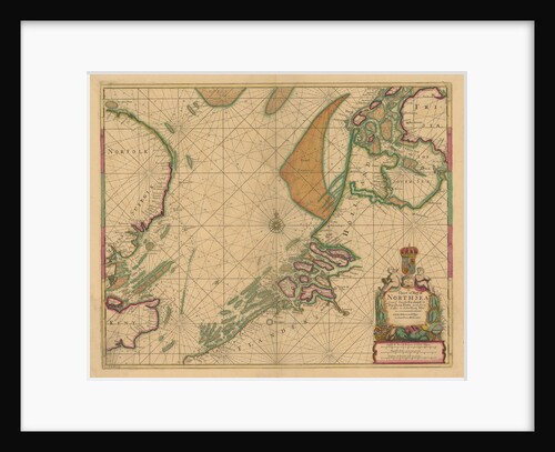
Portulan chart constructed by William Borough showing the sea area of the North Sea and Baltic, from the east coast...
William Borough
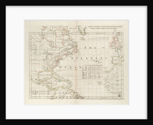
Chart of the Atlantic Ocean, with the British, French & Spanish settlements in North America and the West Indies
Thomas Jefferys
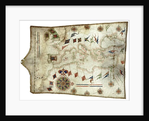
Chart of Mediterranean and north east Atlantic
Sebastiao Lopes
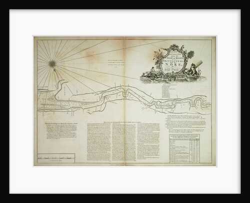
A new and correct chart from the Isle of Dogs, to Prittlewell, and the Nore
John Diston
Huangdao Zongxing Tu Ecliptic Stellar Atlas - Detail of chart
Ighatius Kogler
Chart of north-east Atlantic, from British Isles to Cape Verde
unknown
Falkland's Islands
Anonymous
Chart of Brazil: Rio de Janeiro to River Amazon
unknown
A chart containing the traverse of HMS 'Goliath' on the Jamaica Station 1802
I Engledue
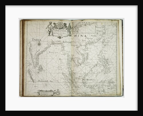
A chart of the trading part of the East Indies and China, with the adjacent islands, from Surrat to Japan
John Seller
A chart of the islands in the China Sea near the Straits of Malacca with the positions of the English...
William Daniell
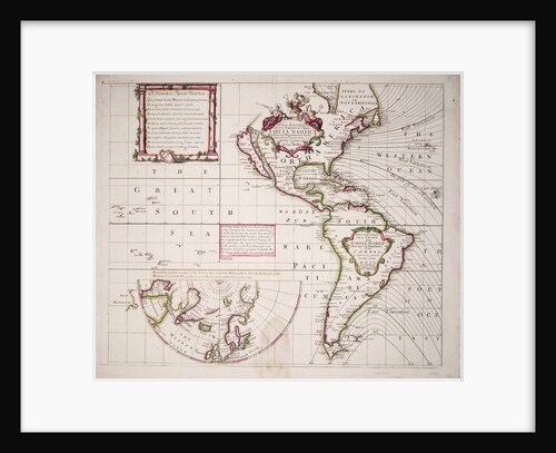
A new and correct sea chart of the whole world showing the variations of the compass as they were found...
Edmond Halley
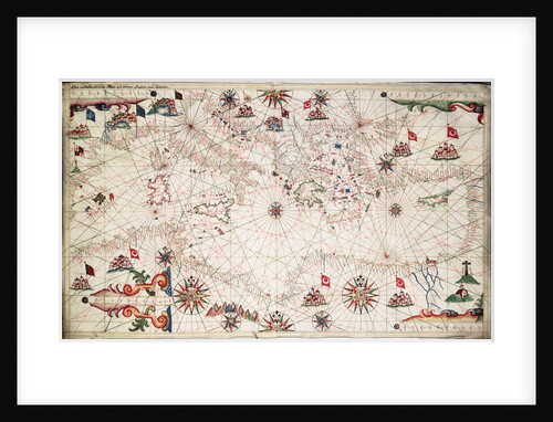
Chart of Mediterranean, Black and Caspian Seas
unknown
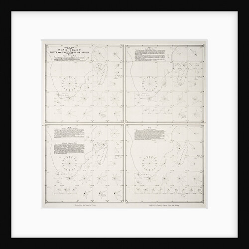
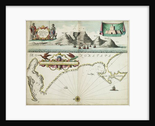
Wind chart of the south and east coast of Africa
Board of Trade
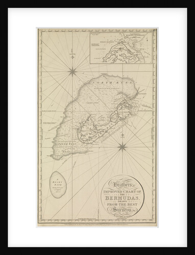
Heather's improved chart of the Bermudas' with an inset of 'the entrance to Murray's anchorage
Norie
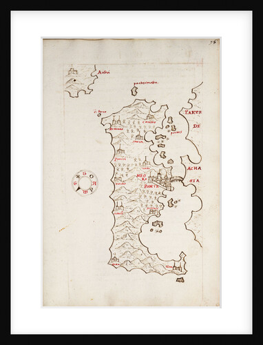
Chart of Negroponte
Antonio Millo
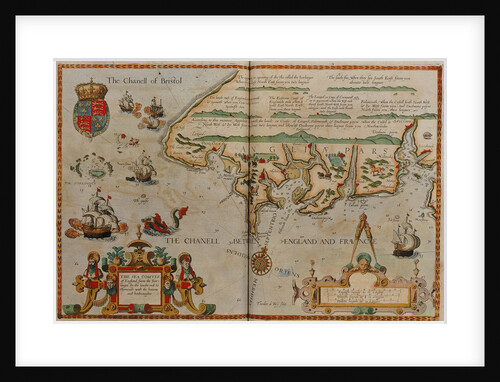
Chart showing the Bristol and English Channel
Lucas Jansz Waghenaer
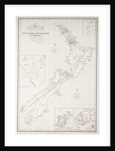
Chart of New Zealand
Thomas McDonnell
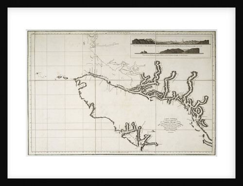
Nautical Chart of surveys made in 1792 of America to examine the entrance of Juan de Fuca
Deposito Hydrografico
A general chart exhibiting the discoveries made by Captain James Cook in this and his two preceding voyages with the...
Lieutenant Henry Roberts
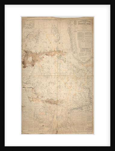
Close's fishermen's chart of the North Sea.
Albert Close
A Mediterranean chart showing the North East Atlantic
Arnaldus Domenech
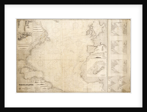
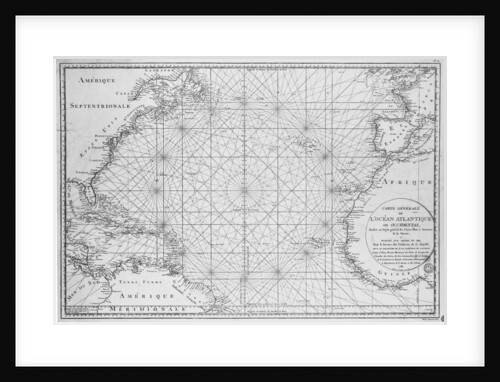
Chart of the North Atlantic Ocean
James Imray & Son; James Imray
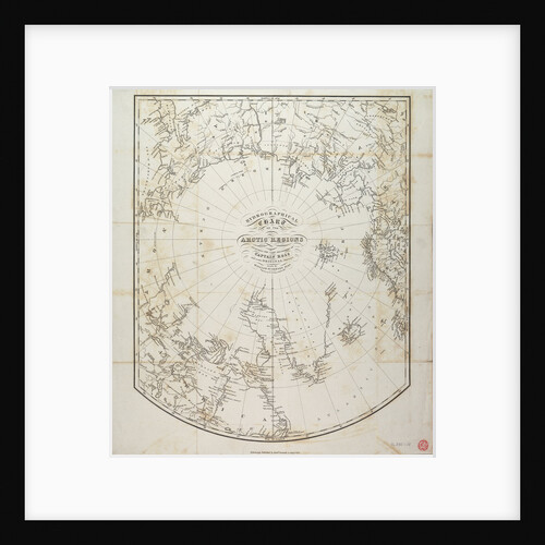
Hydrographical chart of the Arctic regions
William Scoresby
A new and correct chart of the sea coast, from Orfordness Lights to Prittlewell
John Diston
World chart by Pierre Hamon, 1568
Pierre Hamon
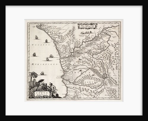
Chart of Congo and Angola, Africa
John Ogilby
A chart of the North Sea from South Foreland to Burnham Flatts, and from Callis to Schelling Isle
Mount & Page
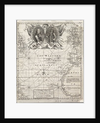
A new map or chart of the western or Atlantic ocean with part of Europe, Africa and America: showing the...
E. Bowen
Chart of the Black Sea
unknown
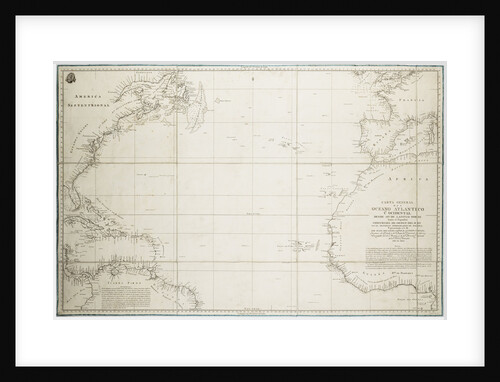
A general chart of the Atlantic Ocean north of the Equator
Deposito Hidrografico
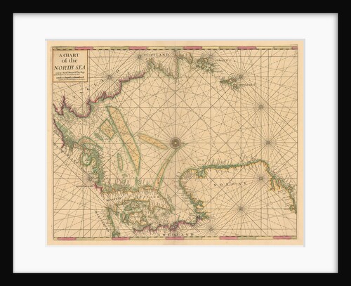
Chart of the North Sea: Norway to the Dover Straits
Mount & Page
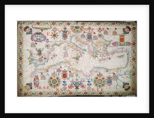
Chart of the Mediterranean circa 1640
Joan Oliva
Chart of the Mediterrean, Black and Caspian Seas
unknown
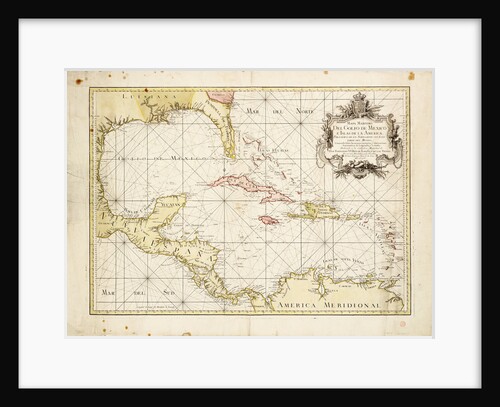
Gulf of Mexico chart by de la Cruz
Thomas Lopez
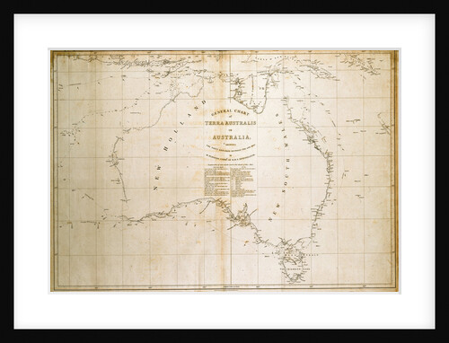
Chart of Terra Australis (Australia)
unknown
A new and correct sea chart of the whole world showing the variations of the compass as they were found...
Edmond Halley
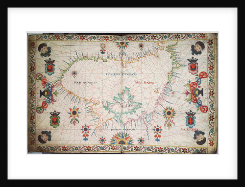
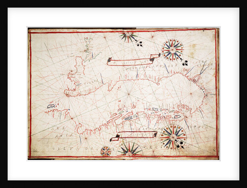
Adriatic chart, circa 1620
unknown
A view of ye general and coasting trade-winds, monsoons or ye shifting trade winds through ye world, variations... according to...
Herman Moll
A chart of Guinea describing the sea coast from Cape de Verde to Cape Bona Esperanca
John Seller
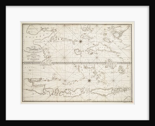
A new chart of the Eastern Straits to China
William Heather
Printed chart of the North Atlantic Ocean by French Admiralty
Depot De La Marine
To the officers in the honourable East India Company's service this outline chart intended for their use to prick off...
J.W. Norie
1
2
3
…
19
Next »
Recently viewed
Clear history