Skip to main content
10% off your first order
☰ Menu
Basket icon
Wishlist icon
Account icon
Search icon
Search icon
Inspiration
Collections
Astrophotography
Battles and wars at sea
Children's
Exploration
Graphic designs
Greenwich
Historic figures
Historic vessels
Maps and charts
Photography
Pirates
Seascapes
Time and space
Natural history
World travel
Ship plans
Gift cards
Contact
Contact us
Newsletter
Search art & photography
Search icon
Home
Collections
Maps and charts
Maps and charts
page 20
Showing 913 to 917 of 917
Featured
A-Z
Z-A
Oldest to newest
Newest to oldest
Bestselling
Products
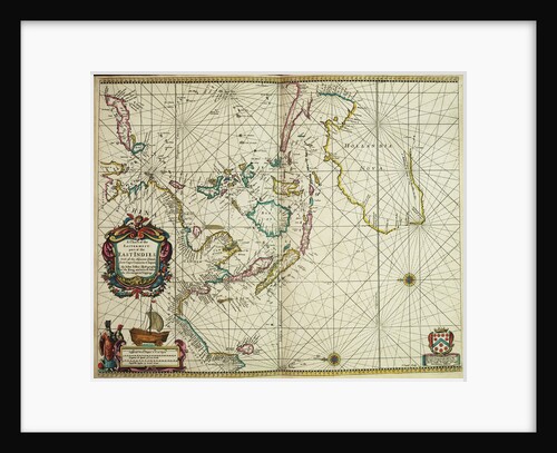
A chart of the easternmost part of the East Indies with all the adjacent islands from Cape Comorin to Japan
John Seller
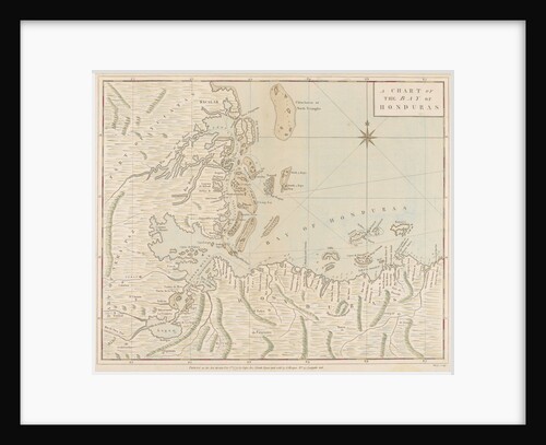
A chart of the Bay of Honduras
Joseph Smith Speer
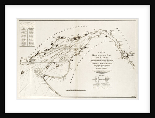
A chart of Delaware Bay and river, containing a full and exact description of the shores, creeks, harbours, soundings, shoals,...
Andrew Dury
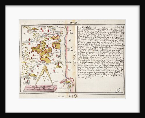
16th century map of county Limerick, Ireland
Anonymous
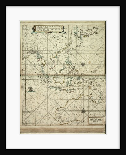
't Ooster deel van Oost Indien, streckende van Ceylon tot Japan en Hollandia Nova
Doncker Hendrik Doncker
« Previous
1
…
18
19
20
Recently viewed
Clear history