Skip to main content
10% off your first order
☰ Menu
Basket icon
Wishlist icon
Account icon
Search icon
Search icon
Inspiration
Collections
Astrophotography
Battles and wars at sea
Children's
Exploration
Graphic designs
Greenwich
Historic figures
Historic vessels
Maps and charts
Photography
Pirates
Seascapes
Time and space
Natural history
World travel
Ship plans
Gift cards
Contact
Contact us
Newsletter
Search art & photography
Search icon
Home
Collections
Maps and charts
Maps and charts
page 19
Showing 865 to 912 of 917
Featured
A-Z
Z-A
Oldest to newest
Newest to oldest
Bestselling
Products
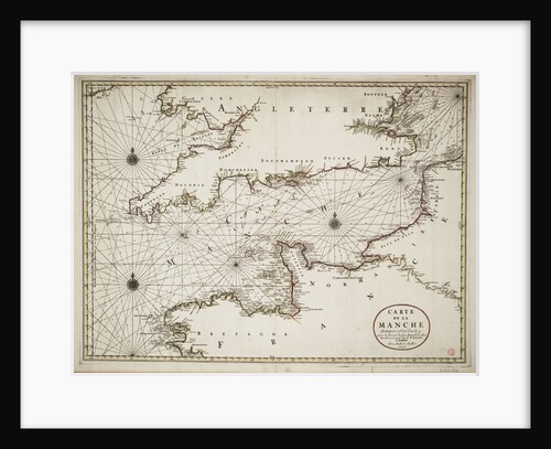
Chart of the English Channel and the Atlantic coasts of southern Britain and northern France
Nicolas Sanson
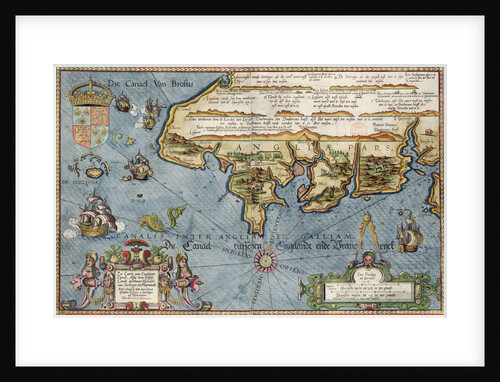
Chart of the English Channel
Lucas Jansz Wagenaer
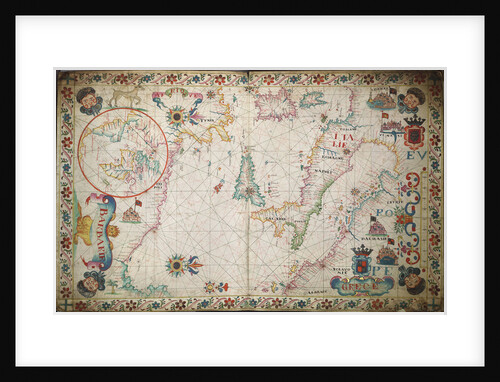
Chart of southern Mediterrean and Adriatic
unknown
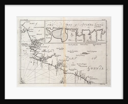
Chart of Sierra Leone, Africa
J. Kip
Chart of Santiago Astata and Bahia Ventosa
Basil Ringrose
Chart of river Valdivia and surroundings, Chile
Luis de Surville
Chart of Prusya with all the havens and rivers from Memel to Heel
Lucas Janz Waghenaer
Chart of Port Royal in South Carolina, United States of America
J.F.W. Des Barres
Chart of Paraguay, Chile, Straits of Magellan and Tierra del Fuego in South America
Nicholas Visscher
Chart of north-east Atlantic, from British Isles to Cape Verde
unknown
Chart of Negroponte
Bartolommeo dalli Sonetti
Chart of Mediterranean and north east Atlantic
Sebastiao Lopes
Chart of Kinsale
John Mansell
Chart of Ipswich Bay and Cape Ann, Atlantic coast of North America
J.F.W. Des Barres
Chart of discoveries made in the South Pacific Ocean in his majesty's ship 'Resolution' under the command of Captain Cook
James Cook
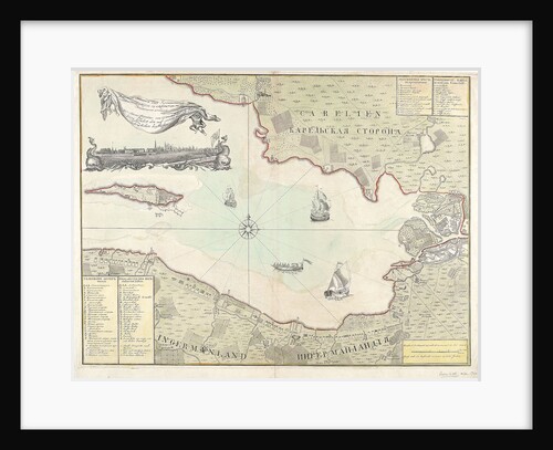
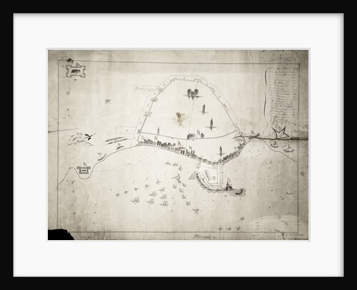
Chart of Cronstadt, circa 1720 (with key)
unknown
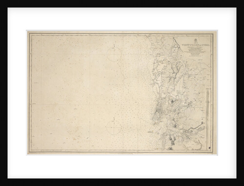
Chart of Arnola Island, 1884
unknown
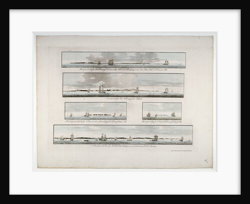
Chart entitled 'Five distant views of the Isle of Sable' by Des Barres, 1776
Joseph Frederick Wallet Des Barres
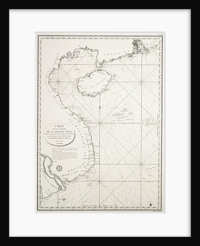
Carte d'une partie de la Mer de Chine dressee au Depot des Cartes et Plans de la Marine, sur les...
Depot Generale de la Marine
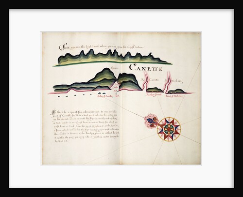
Canette
William Hack
Battle of Copenhagen, 2 April 1801
Francis Gibson
Battle of Algiers, 27 August 1816
JB Sandsbury
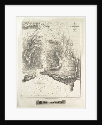
Balaklava Bay, Black Sea, surveyed by Commander Spratt of HMSV 'Spitfire', 1854
Thomas Spratt
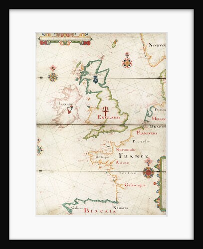
Atlantic coasts of Europe, Norway to Finisterre
Nicholas Comberford
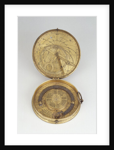
Astronomical compendium for latitudes 42-54 North, leaves IIIa and Iib
Christoph Schissler
Astronomical compendium for latitudes 42-54 North, leaf Ib
Christoph Schissler
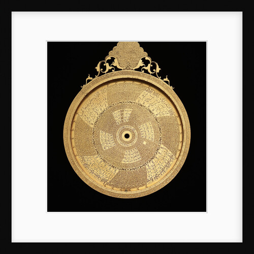
Astrolabe: reverse
Muhammad Mahdi al-Yazdi
Astrolabe: mater
Muhammad Mahdi al-Yazdi
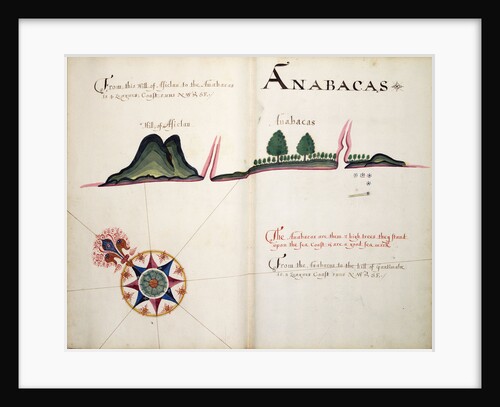
Anabacas
William Hack
A view of ye general and coasting trade-winds, monsoons or ye shifting trade winds through ye world, variations... according to...
Herman Moll
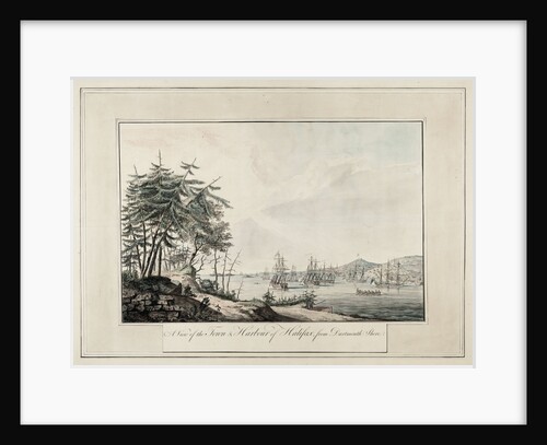
A view of the town & harbour of Halifax, from Dartmouth shore
J.F.W. Des Barres
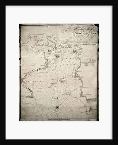
A trigonometrical survey of Plymouth Sound
William Chapman
A plan of the road and harbour of Fowey or Foy by Lieutenant James Cook of the Royal Navy
Robert Sayer
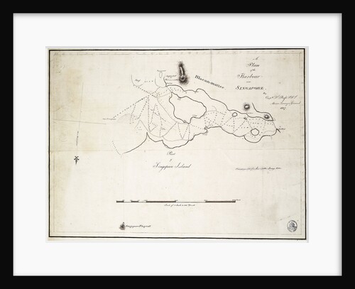
A plan of the harbour near Singapore by Captain D.l. Ross, FRS Marine Surveyor General
D.l. Ross
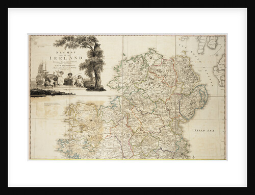
A new map of Ireland civil and ecclesiastical, 1797
Daniel A. Beaufort
A new and exact map of the island of Antigua in America, according to a survey made in the years...
Robert Baker
A new and exact map of the island of Antigua in America, according to a survey made in the years...
Robert Baker
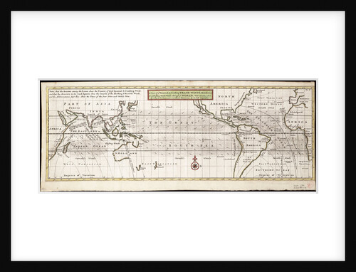
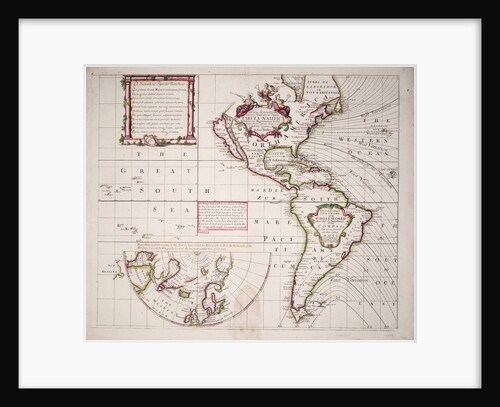
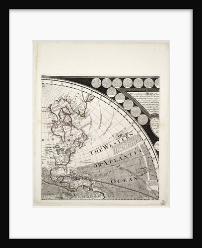
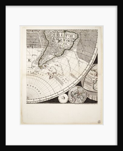
A new and correct sea chart of the whole world showing the variations of the compass as they were found...
Edmond Halley
A new and correct map of the world (section)
Sayer & Bennett
A new and correct map of the world (section)
Sayer & Bennett
A Mediterranean chart showing the North East Atlantic
Arnaldus Domenech
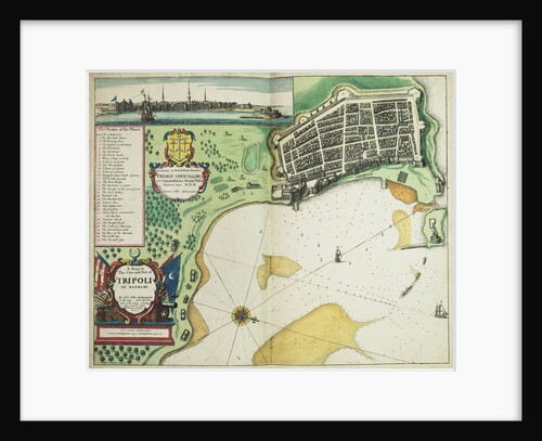
A map of the city and port of Tripoli in Barbary
John Seller
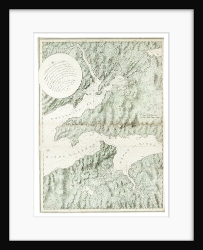
A map of a part of Yucatan or of that part of the eastern shore within the Bay of Honduras...
William Faden
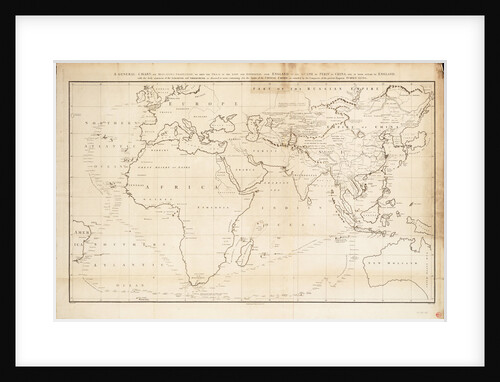
A general chart on Mercators projection to show the track of the 'Lion' and 'Hindostan' from England to the Gulph...
John Barrow
A description of the Sea Coast from Mta. Puercos to Bad Point
William Hack
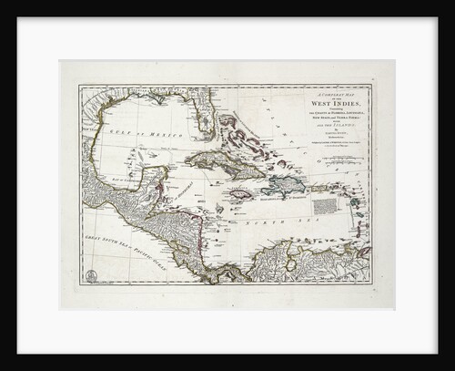
A complete map of the West Indies containing the coasts of Florida, Louisiana, New Spain and Terra Firma with all...
Samuel Dunn
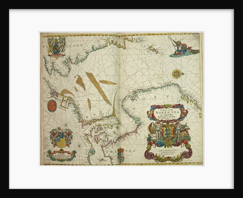
A chart of the North Sea
John Seller
A chart of the harbour of Rhode Island and Narraganset Bay
J.F.W. Des Barres
« Previous
1
…
17
18
19
20
Next »
Recently viewed
Clear history


![A map of a part of Yucatan or of that part of the eastern shore within the Bay of Honduras alloted [sic] to Great Britain for the cutting of logwood, in consequence of the convention signed with Spain on the 14th July 1786. By a Bay Man. by William Faden](https://previews.magnoliabox.com/nmm/flat/k0919/MUS-CFPM-18X24_black_500.jpg)