Skip to main content
10% off your first order
☰ Menu
Basket icon
Wishlist icon
Account icon
Search icon
Search icon
Inspiration
Collections
Astrophotography
Battles and wars at sea
Children's
Exploration
Graphic designs
Greenwich
Historic figures
Historic vessels
Maps and charts
Photography
Pirates
Seascapes
Time and space
Natural history
World travel
Ship plans
Gift cards
Contact
Contact us
Newsletter
Search art & photography
Search icon
Home
Collections
Maps and charts
Maps and charts
page 18
Showing 817 to 864 of 917
Featured
A-Z
Z-A
Oldest to newest
Newest to oldest
Bestselling
Products
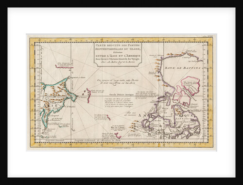
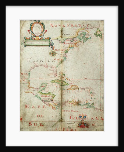
Map of Asia and America
Jacques Nicolas Bellin
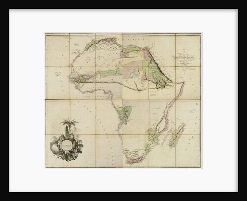
Map of Africa, 1802
A. Arrowsmith
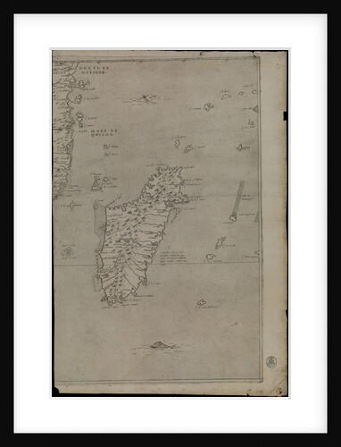
Map of Africa, 1564 - 1 of 8 sheets
Giacomo Gastaldi
Map of Africa, 1564 - 1 of 8 sheets
Giacomo Gastaldi
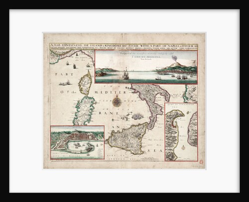
Map containing the island and kingdom of Sicily, with a part of Naples, and other adjacent coasts including the Tyrrhenean...
John Seller
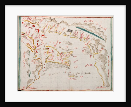
Limary, South American Pacific coast
William Hack
Isle of Juan Fernandes
William Hack
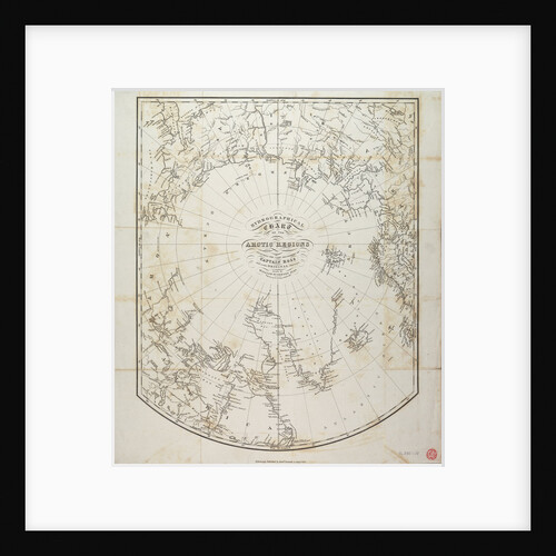
Hydrographical chart of the Arctic regions
William Scoresby
Ho Lago
unknown
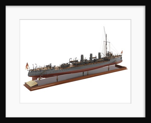
HMS 'Forward' (1904); HMS 'Foresight' (1904)
Fairfield Shipbuilding & Engineering Co. Ltd
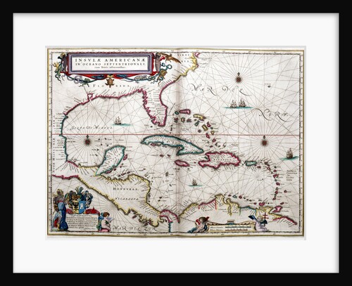
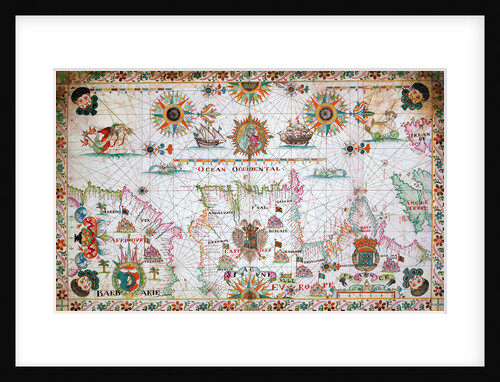
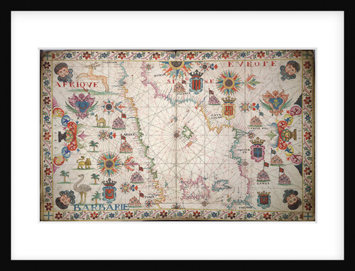
Gulf of Mexico and the Caribbean, from Blaeu's 'Atlas of the Americas'
John Blaeu
Guayaquil
Basil Ringrose
Globe x-ray
Gemma Frisius
Globe x-ray
Jacob Aertsz Colom
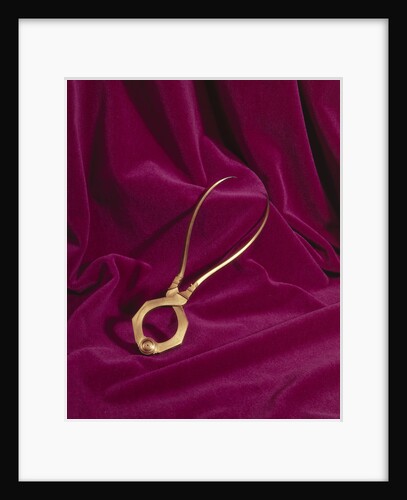
Globe dividers, circa 1600
unknown
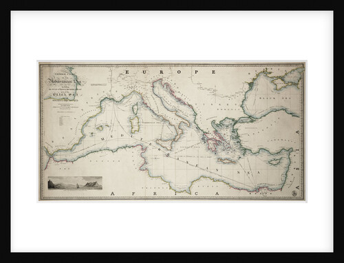
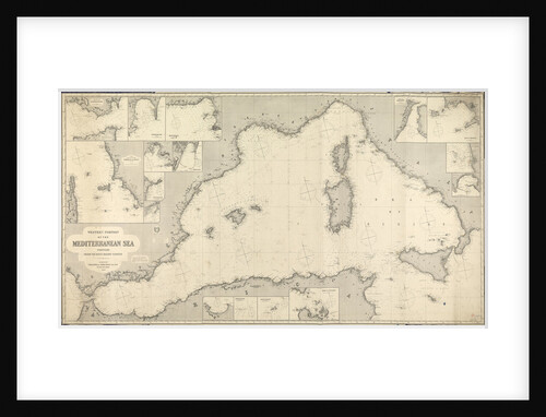
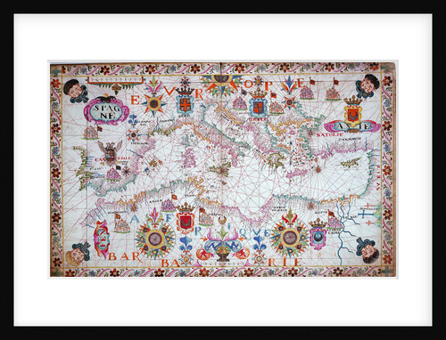
General chart of the Mediterranean Sea including the Gulf of Venice, Archipelago and part of the Black Sea with the...
James Wyld
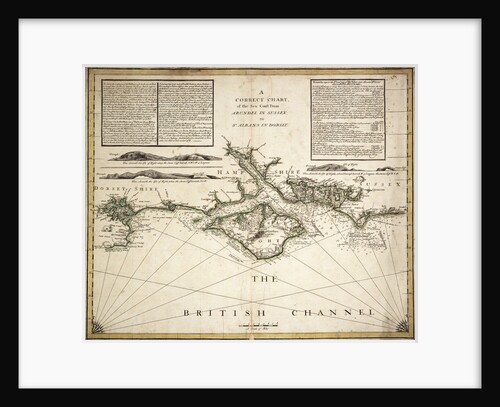
English Channel
unknown
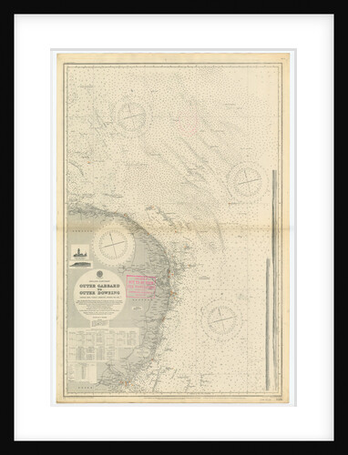
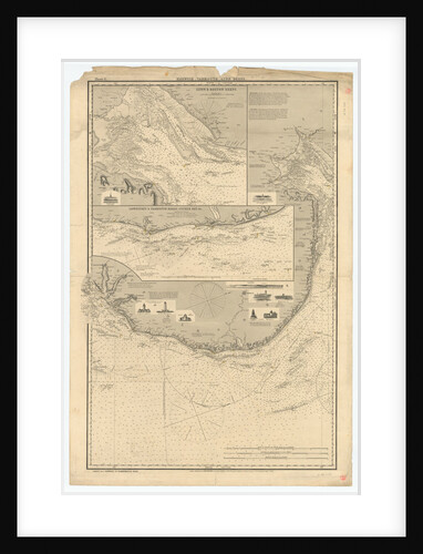
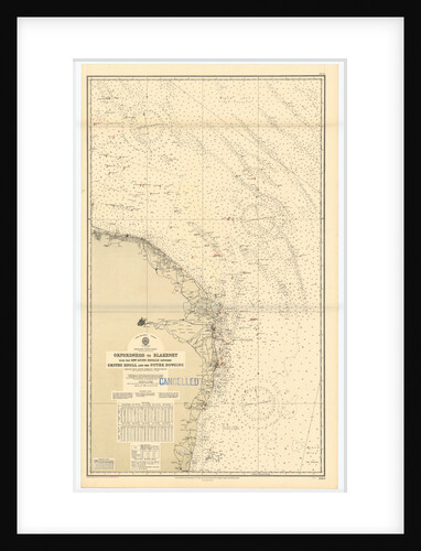
England-East Coast. Outer Gabbard to Outer Dowsing
British Admiralty
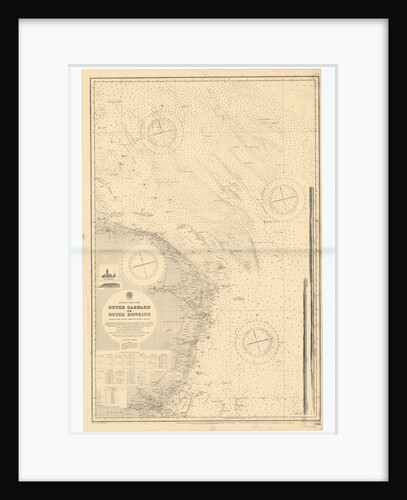
England-East Coast. Outer Gabbard to Outer Dowsing
British Admiralty
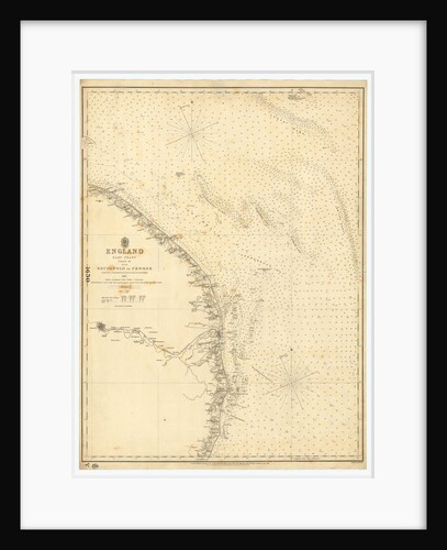
England East Coast: Southwolds to Cromer
British Admiralty
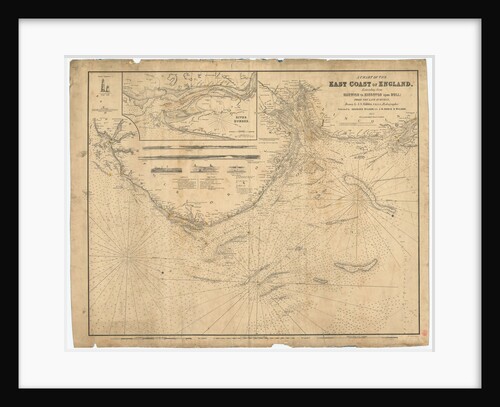
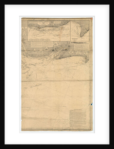
England East Coast: Harwich to Kingston Upon Hull
J.S. Hobbs
England East Coast: Harwich to Flamborough Head
Charles Wilson
England East Coast from Thames Estuary to the Wash
Grenville Collins
England East Coast from Thames Estuary to the Wash
Grenville Collins
England East Coast from Dungeness to Flamborough Head
James Imray & Son
England East Coast
British Admiralty
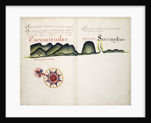
Encomienda and Soconusco
William Hack
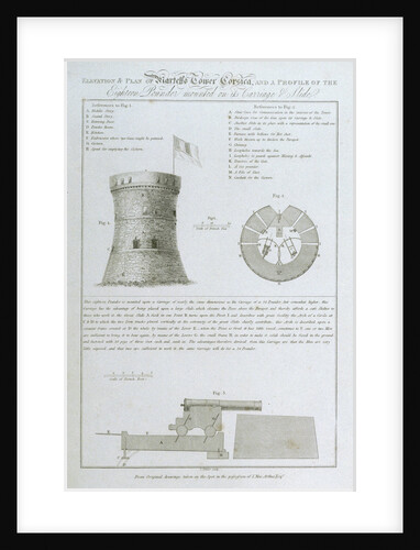
Elevation & lan of Martello Tower Corsica, and a Profile of the Eighteen Pounder mounted on its Carriage & Slide...
James Fittler
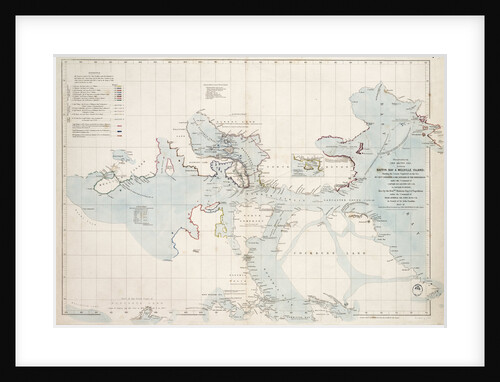
Discoveries in the Arctic Sea between Baffin Bay and Melville Island
John Arrowsmith
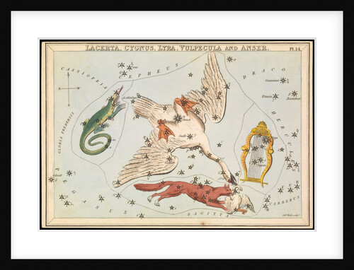
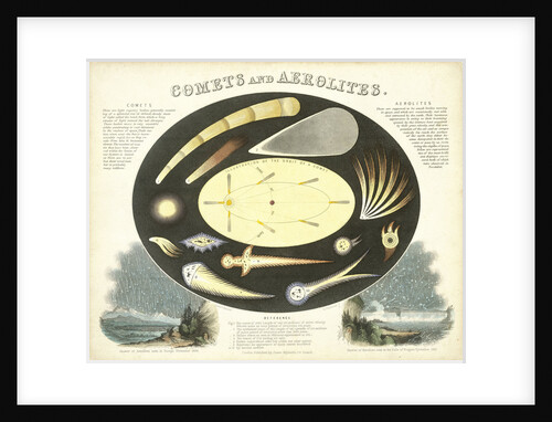
Lacerta, Cygnus, Lyra, Vulpecula and Anser
Sidney Hall
Constellation card, Urania's mirror
Sidney Hall
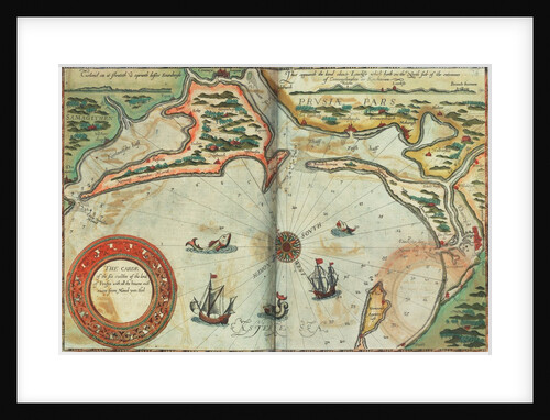
Coast of Prussia with all the havens and rivers from Memel to Heel
Lucas Janz Waghenaer
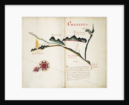
Cherepe
William Hack
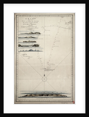
Chart showing the track of His Majesty's ship 'Centaur' (1797) from England to Madeira and back
Anonymous
Chart of Zakinthos
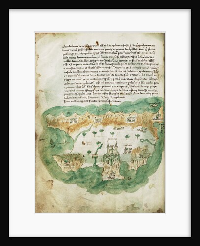
Cristoforo Buondelmonti
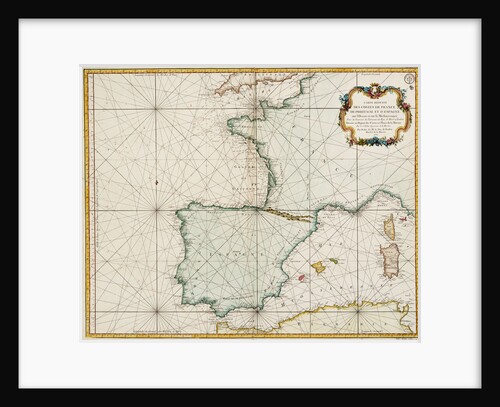
Chart of Western Mediterranean
James Imray & Son
Chart of western Europe showing Paris meridian as the Prime
Jacques Nicolas Bellin
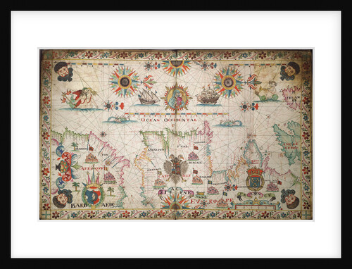
Chart of the western Mediterrean showing the north African and Spanish coasts, and the Atlantic, 17th century
Cavolini
Chart of the western Mediterrean
unknown
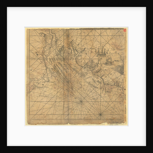
Chart of the western Atlantic, 1678
Joel Gascoyne
Chart of the West Indies
Joseph Smith Speer
Chart of the north-east Atlantic, from Ireland to Cape Verde
unknown
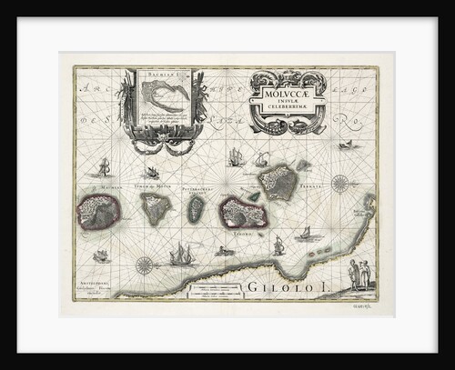
Chart of the Moluccas, Indonesia
Willem Blaeu
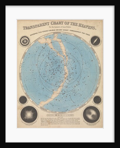
Chart of the heavens
James Reynolds
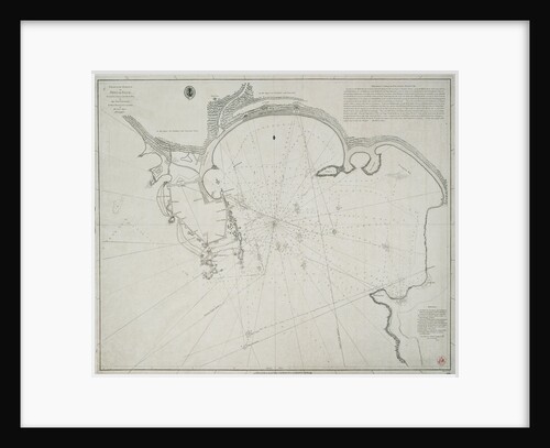
Chart of the harbour of Point de Galle. Surveyed in January and March 1800, by Captain David Inverarity. To whom...
Alexander Dalrymple
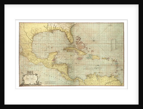
Chart of the Gulf of Mexico and Caribbean islands, 1742
Miol Polo
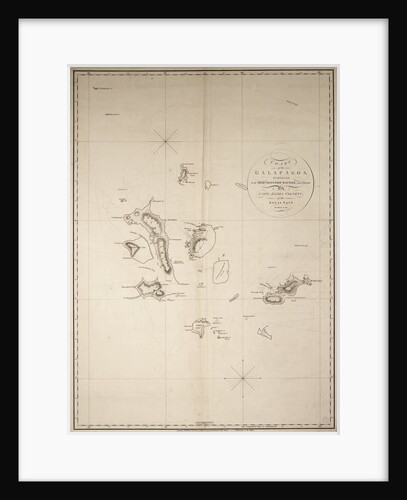
Chart of the Galapagos, surveyed in the merchant ship 'Rattler', and drawn by Captain James Colnett, of the Royal Navy....
James Colnett
Chart of the entire Mediterrean, 17th century
Cavolini
« Previous
1
…
16
17
18
19
20
Next »
Recently viewed
Clear history