Skip to main content
10% off your first order
☰ Menu
Basket icon
Wishlist icon
Account icon
Search icon
Search icon
Inspiration
Collections
Astrophotography
Battles and wars at sea
Children's
Exploration
Graphic designs
Greenwich
Historic figures
Historic vessels
Maps and charts
Photography
Pirates
Seascapes
Time and space
Natural history
World travel
Ship plans
Gift cards
Contact
Contact us
Newsletter
Search art & photography
Search icon
Chart paper prints
Showing 1 to 48 of 445
Search these images +
Search Chart paper images
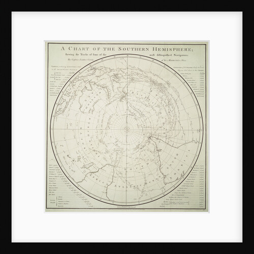
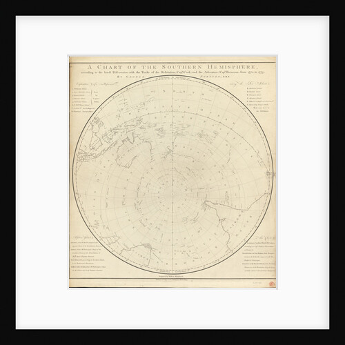
Chart of the Southern Hemisphere showing pre-Cook journeys and discoveries
James Cook
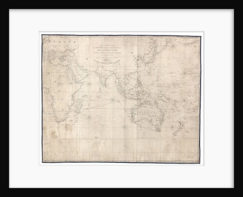
To the officers in the honourable East India Company's service this outline chart intended for their use to prick off...
J.W. Norie
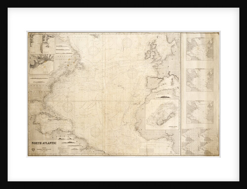
Chart of the North Atlantic Ocean
James Imray & Son; James Imray
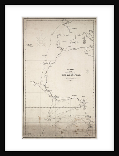
A chart showing the track of HM sloop 'Larne', J.W.D.Brisbane, Esq. Commander, from the 1 January 1846 to 27 June...
J.W.D. Brisbane
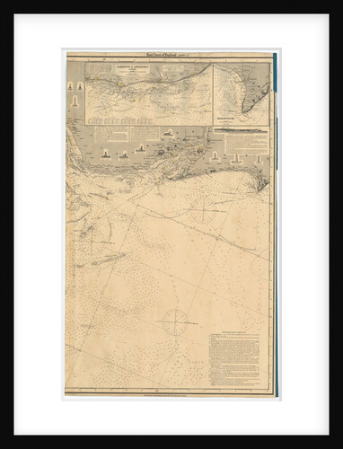
England East Coast
British Admiralty
Yarmouth and Lowestoft
British Admiralty
A chart of the trading part of the East Indies and China, with the adjacent islands, from Surrat to Japan
John Seller
NE Atlantic and W Mediterranean
Joannes Oliva
Chart of Cork harbour, Ireland
unknown
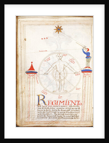
Rules of the North Star
Unknown
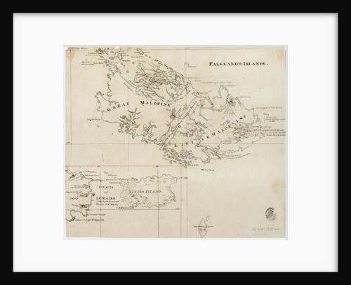
Falkland's Islands
Anonymous
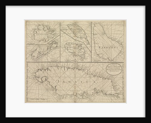
Chart of Jamaica, Barbados, St Christopher, Martinique, Antigua and Bermuda
John Seller
An outline chart, for the purpose of marking off the track of a ship, 1829
Blachford & Co; Blachford & Imray
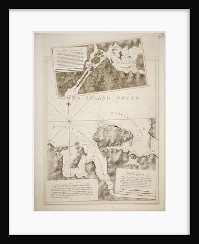
Chart of Oyster Bay and Huntington Bay, Long Island Sound
Joseph Frederick Wallet Des Barres
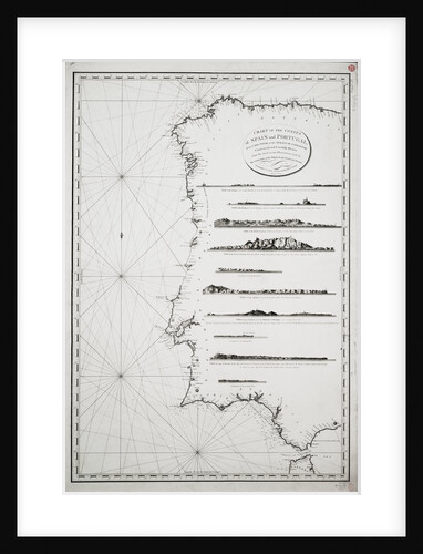
Chart of the coasts of Spain and Portugal, from Cape Pinas to the Strait of Gibraltar, constructed and carefully drawn...
P Steel
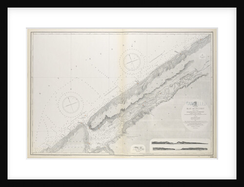
Chart of Nova Scotia, Bay of Fundy, Gullivers Hole to St Croix Bay, first published 10th February 1858
Unknown
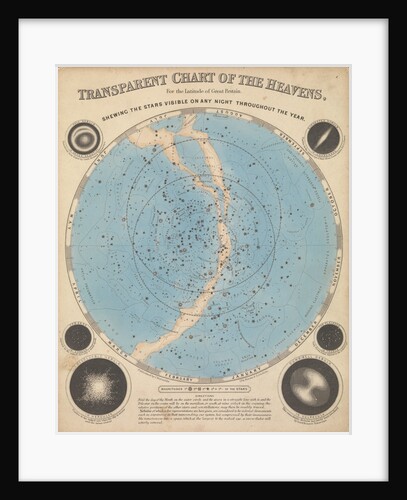
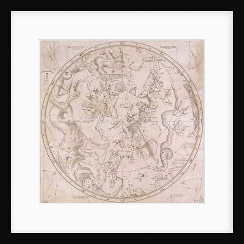
Chart of the heavens
James Reynolds
A chart of the North Sea from South Foreland to Burnham Flatts, and from Callis to Schelling Isle
Mount & Page
The right ascensions and declinations of the principal fixed stars in both hemispheres to year 1678
Edmond Halley
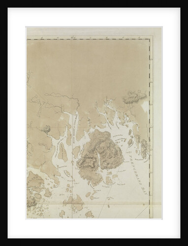
Penobscot Bay (detail)
J.F.W. Des Barres
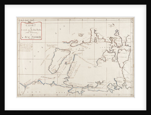
Chart of the search for Sir John Franklin and discovery of the North West Passage
Edward Augustus Inglefield
Chart of River Thames from London to the Buoy of the Noure
unknown
Chart of Gulf of Guinea, Africa
Gerard van Keulen
Chart of the Mediterrean, showing Italy and the north African coast, 17th century
Cavolini
Atlantic Ocean, 5 degrees south to 57 degrees north
Nicholas Comberford
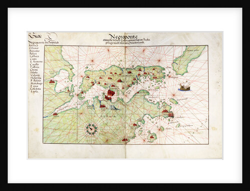
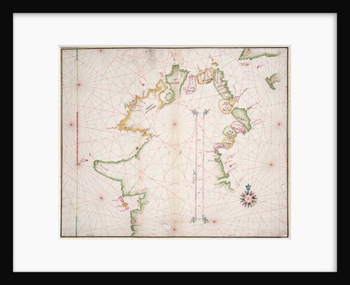
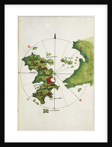
Chart of Negroponte
Battista Agnese
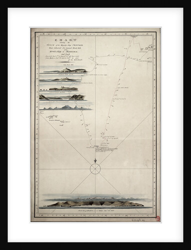
Chart showing the track of His Majesty's ship 'Centaur' (1797) from England to Madeira and back
Anonymous
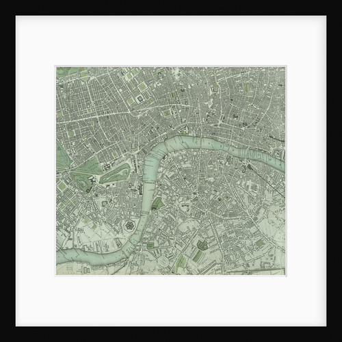
Chart of London City and the river Thames
Unknown
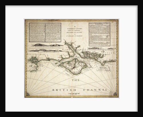
English Channel
unknown
Sea chart of the north coast of Ireland
unknown
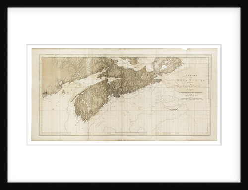
A chart of Nova Scotia
Joseph Frederick Wallet Des Barres
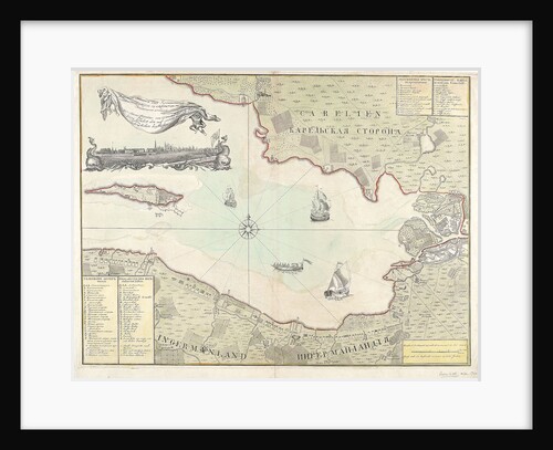
Chart of Cronstadt, circa 1720 (with key)
unknown
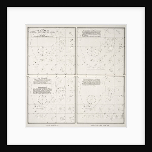
Wind chart of the south and east coast of Africa
Board of Trade
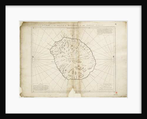
A chart of the Island of Bourbon in the Indian Ocean
William Gilbert
Chart of the Suez Canal, 1870-1871
Hydrographic Office
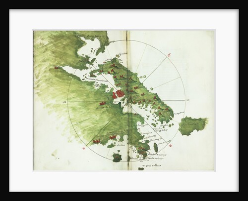
Chart of Negroponte
Bartolommeo dalli Sonetti
The Battle of the Nile, 1 August 1798. Chart of Aboukir Bay and of the action
Nicholas Pocock
Part of a southern hemisphere star chart from Reiner Ottens's Atlas Maior (1730), with the Greenwich Observatory (left) and the...
Reiner Otten
England East Coast. Sheet 3
James Imray & Son
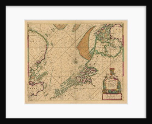
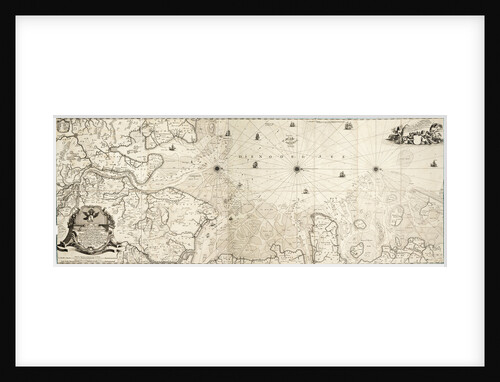
Chart of the North Sea
Cornelius Martin Wohlers
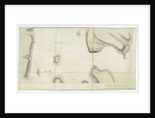
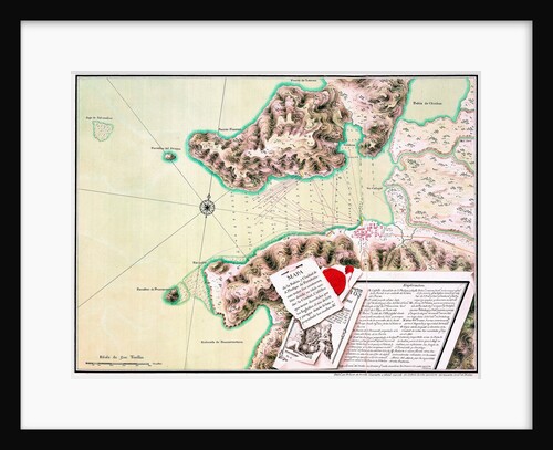
S. Phelipe de Porto Bello
Luis de Surville
Chart of the southern hemisphere, post Cook
Georg Forster
Khios and adjacent mainland
Bartolommeo dalli Sonetti
Map of South America
Herman Moll
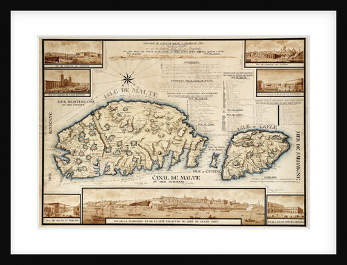
French chart of Malta, circa 1798
unknown
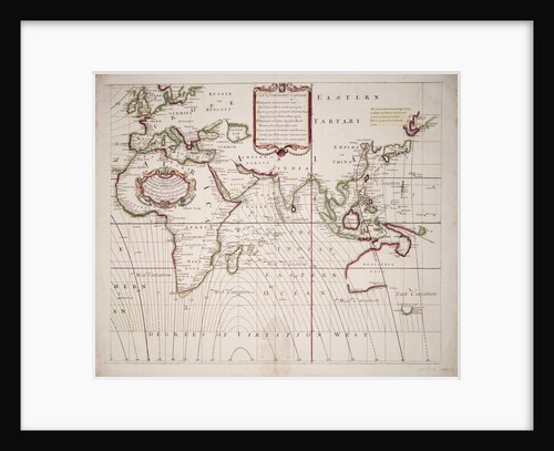
A new and correct sea chart of the whole world showing the variations of the compass as they were found...
Edmond Halley
A chart of Brazil bound in Jacob Colom's 'Atlas of werelts-water-deel en des selfs zee-custen'
Arnold Colom
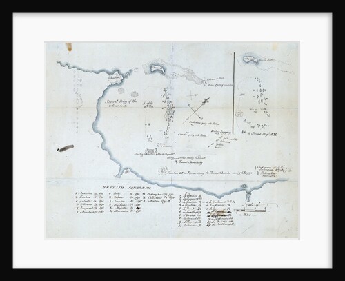
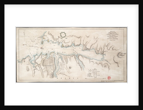
Black Sea Sebastopol from a Russian Survey of 1836
John Arrowsmith
1
2
3
…
10
Next »
Recently viewed
Clear history