Skip to main content
10% off your first order
☰ Menu
Basket icon
Wishlist icon
Account icon
Search icon
Search icon
Inspiration
Collections
Astrophotography
Battles and wars at sea
Children's
Exploration
Graphic designs
Greenwich
Historic figures
Historic vessels
Maps and charts
Photography
Pirates
Seascapes
Time and space
Natural history
World travel
Ship plans
Gift cards
Contact
Contact us
Newsletter
Search art & photography
Search icon
Home
Collections
Maps and charts
Maps and charts
page 13
Showing 577 to 624 of 917
Featured
A-Z
Z-A
Oldest to newest
Newest to oldest
Bestselling
Products
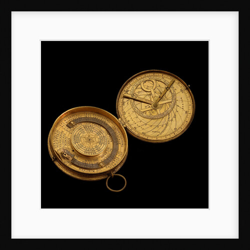
Astronomical compendium, leaves Ia and IIIb
Christoph Schissler
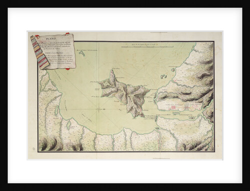
Rio Guayaquil
Luis de Surville
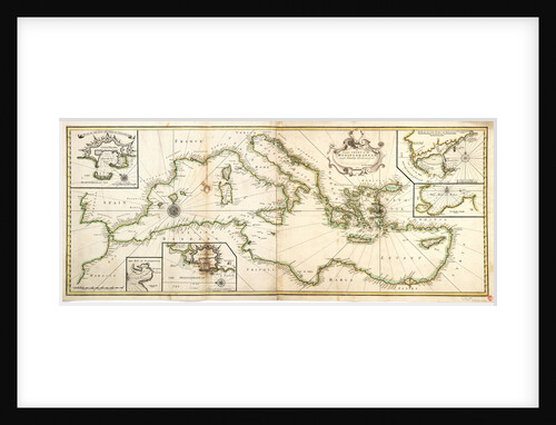
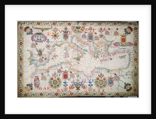
Chart of the Mediterrean, Black and Caspian Seas
unknown
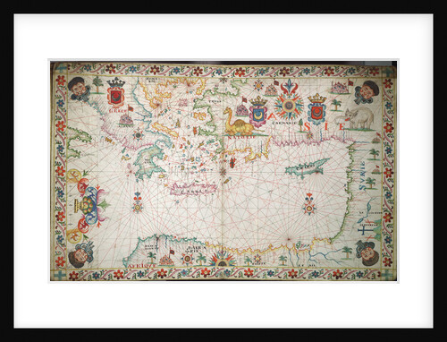
Chart of the eastern Mediterrean
unknown
Papudo [and] Quintera
William Hack
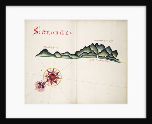
St George, South American Pacific coast
William Hack
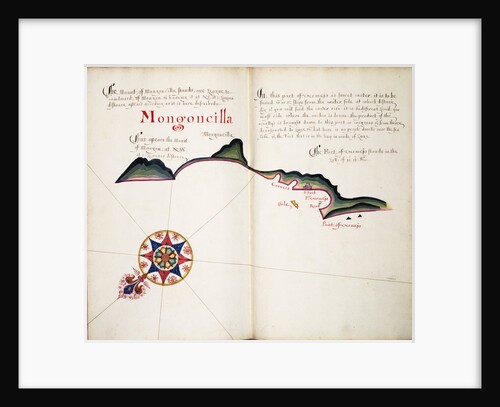
Mongoncilla
William Hack
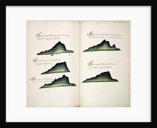
Views of Cerro Mongon
William Hack
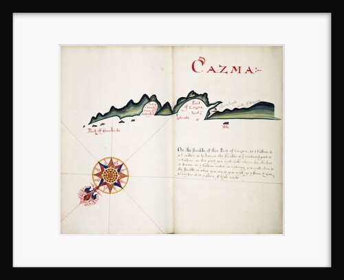
Cazma
William Hack
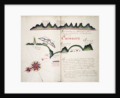
Chimbote
William Hack
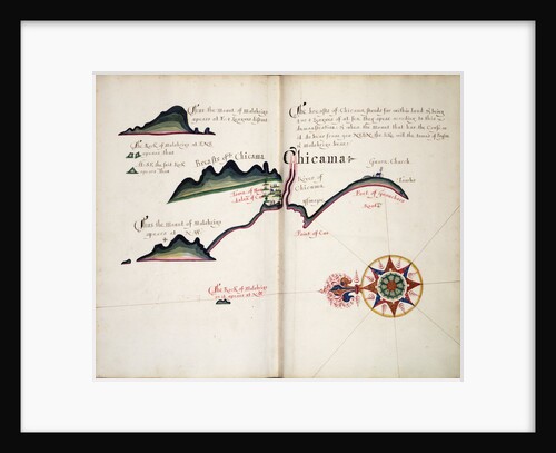
Chicama
William Hack
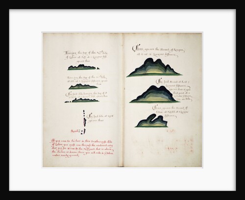
Views of Isla Lobos and Mountains
William Hack
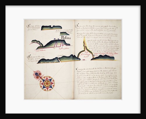
Passao
William Hack
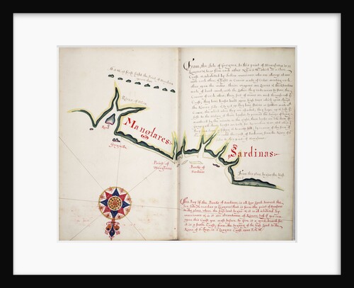
Manglares, Bahia de Ancon de Sardinas
William Hack
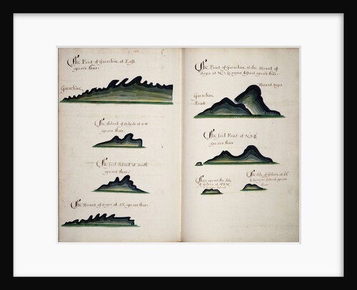
Garachine Views
William Hack
A description of the Perle Islands
William Hack
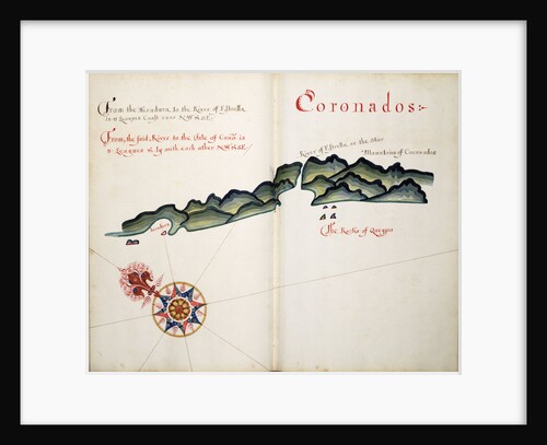
Coronados
William Hack
A description of the Old Town & the Port of Realejo
William Hack
A description of the Gulf of Ampall
William Hack
A description of the Plantations & Setlements in the Valley of Tepaca
William Hack
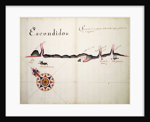
Escondido
William Hack
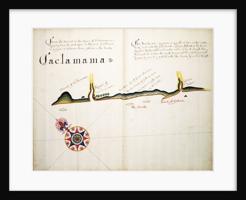
Taclamama
William Hack
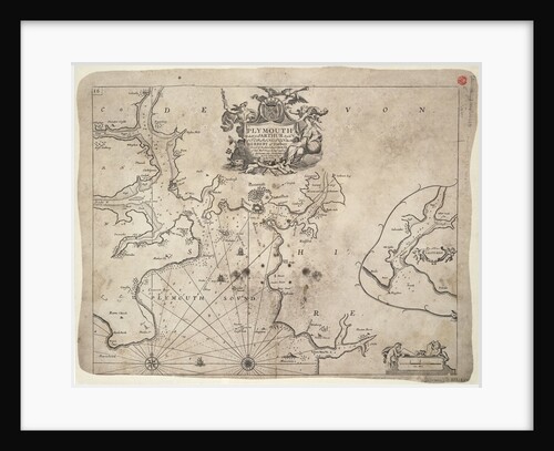
Plymouth
Greenvile Collins
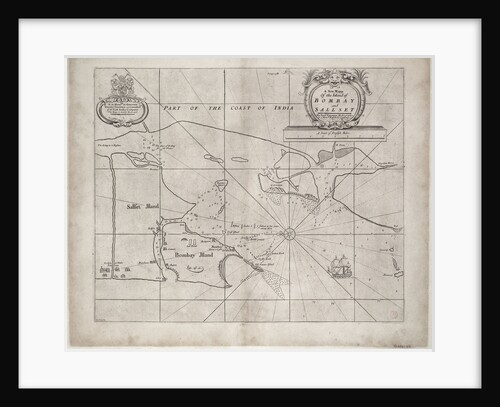
Map of Bombay and Sallset by Samuel Thornton, Hydrographer to the East India Company, first published circa 1685
Samuel Thornton
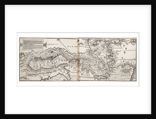
Vavassore chart of the Mediterranean Sea, believed to be the earliest surviving printed chart, 1541
Giovanni Andrea Di Vavassore
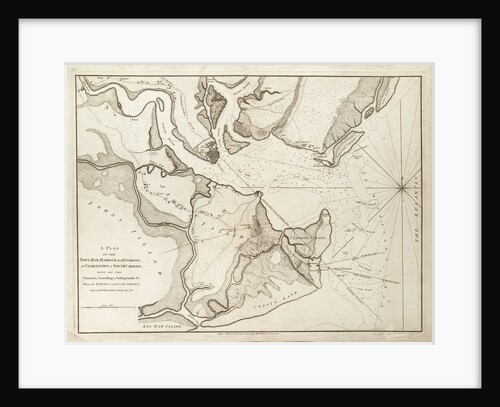
Plan of Charlestown, South Carolina, 1780
William Faden
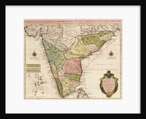
Chart of the Indian Ocean
Guillaume de L'Isle
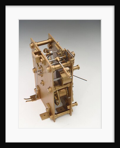
Astronomical regulator, movement back
Victor Kullberg
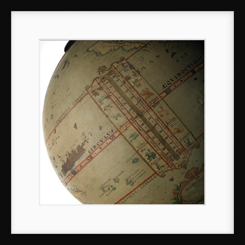
analemma
unknown
Chart of the Mediterranean, 1730
Charles Price
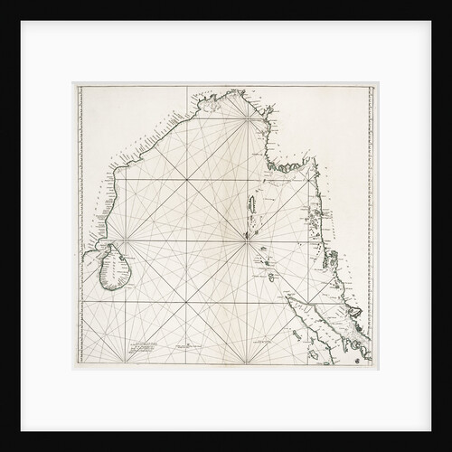
Bay of Bengal from Ceylon to Malacca
William Herbert
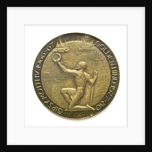
Medal commemorating 'Regina Elena'; reverse
Paul Vincze
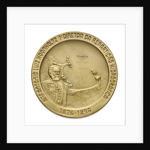
Medal commemorating the centenary of the Brazilian Hydrographic Office, 1976; obverse
unknown
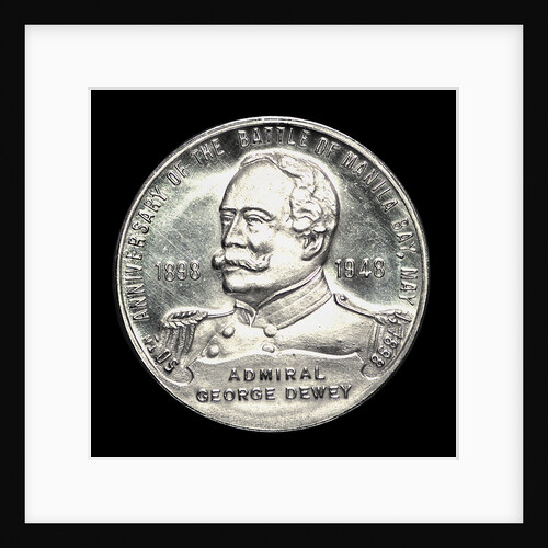
Medal commemorating the 50th anniversary of the Battle of Manila Bay, 1948; obverse
W. & H. Co.
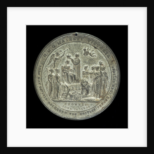
Medal commemorating Queen Victoria's coronation, 1837; reverse
Davis
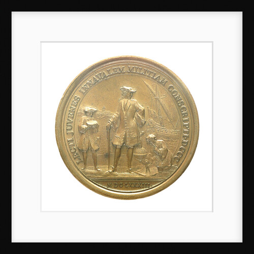
Medal commemorating eight hundred naval cadets enrolled for service in the war navy; reverse
L.I.
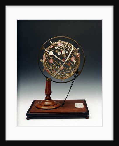
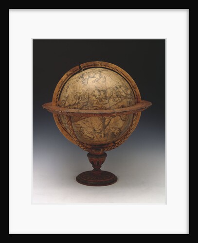
Sphere and stand
Charles Hatch
Sphere and stand
Gemma Frisius
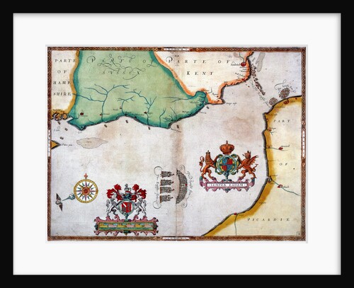
Lands End to Start Point: The arrival of the Spanish Armada off Cornwall
Robert Adams
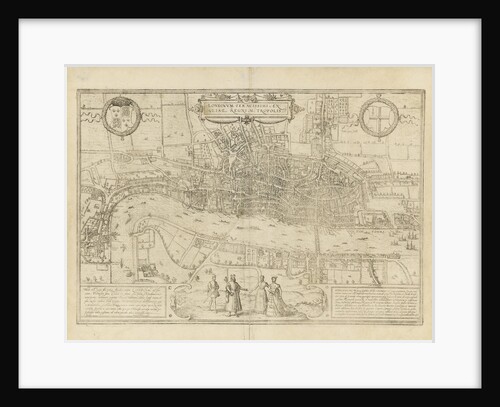
Map of London
unknown
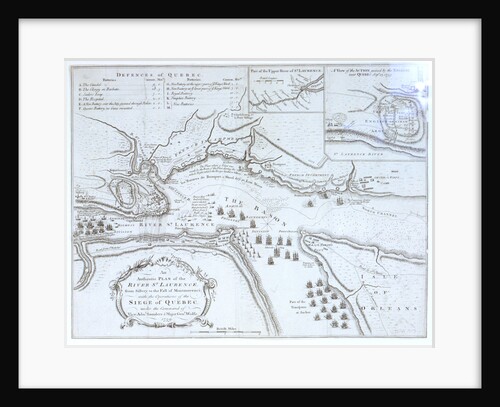
An Authentic Plan of the River St Laurence
unknown
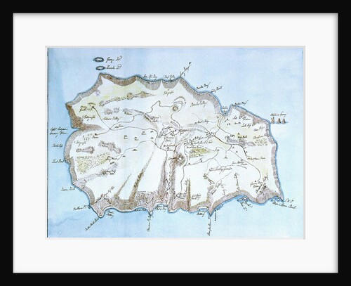
Map of the island of St Helena
William Innes Pocock
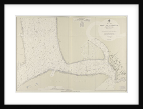
A chart of Port Swettenham
unknown
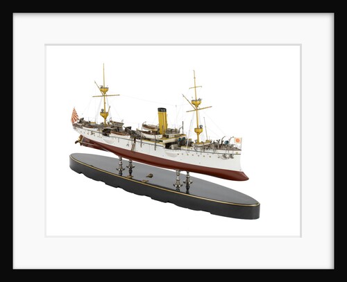
A sloop warship 'Takao' (Japan 1888)
unknown
A sloop warship 'Takao' (Japan 1888)
unknown
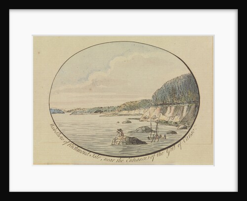
West shore of Richmond Isle
J.F.W. Des Barres
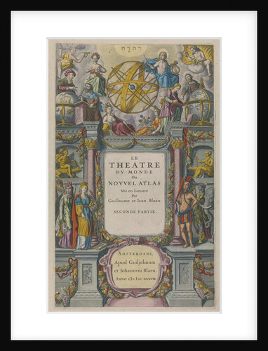
Le Theatre du Monde
Willem Janszoon Blaeu
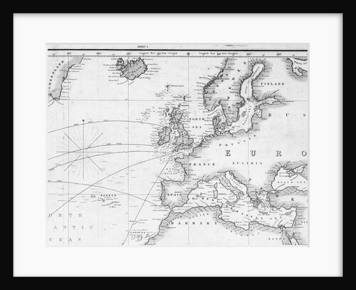
A general chart for the purpose of pricking off ship's track from England southward and round the world (detail)
J.S. Hobbs
« Previous
1
…
11
12
13
14
15
…
20
Next »
Recently viewed
Clear history
![Papudo [and] Quintera by William Hack](https://previews.magnoliabox.com/nmm/flat/f1929/MUS-CFPM-16X20_black_500.jpg)