Skip to main content
10% off your first order
☰ Menu
Basket icon
Wishlist icon
Account icon
Search icon
Search icon
Inspiration
Collections
Astrophotography
Battles and wars at sea
Children's
Exploration
Graphic designs
Greenwich
Historic figures
Historic vessels
Maps and charts
Photography
Pirates
Seascapes
Time and space
Natural history
World travel
Ship plans
Gift cards
Contact
Contact us
Newsletter
Search art & photography
Search icon
Home
Collections
Maps and charts
Maps and charts
page 11
Showing 481 to 528 of 917
Featured
A-Z
Z-A
Oldest to newest
Newest to oldest
Bestselling
Products
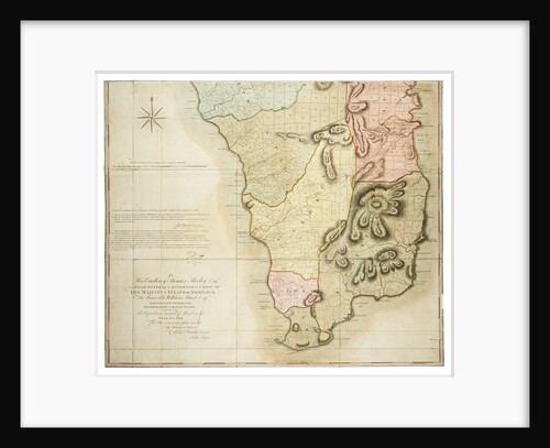
Plan of the Island of Dominica laid down by actual survey under the direction of the Honorable the Commissioners for...
John Byres
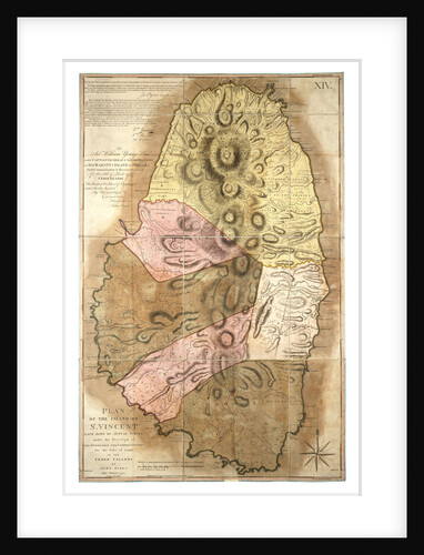
Plan of the Island of St Vincent laid down by actual survey, 1776
John Byres
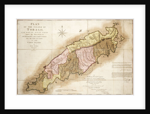
Plan of Tobago
John Byres
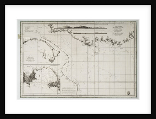
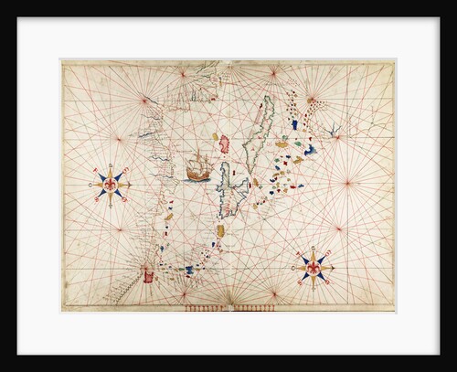
Chart of South America and the Atlantic Coast
Juan de Langara
A chart of the harbour of Boston, 1775
J.F.W. Des Barres
A chart of the harbour of Rhode Island and Narraganset Bay
J.F.W. Des Barres
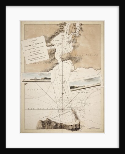
A chart of New York Harbour with the soundings views of land marks and nautical directions for the use of...
J. F. W. Des Barres
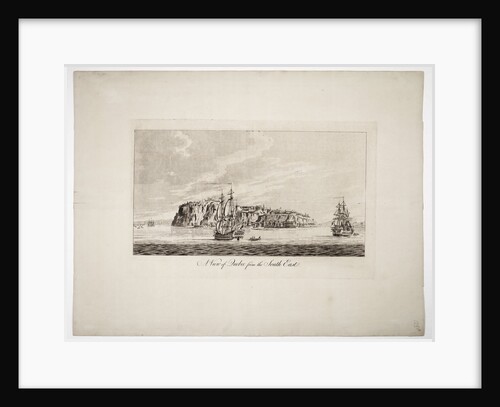
A view of Quebec from the south east
J. F. W. Des Barres
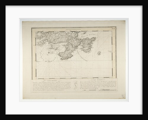
Conway Harbour and Port Aylesbury, North American Atlantic Coast
J.F.W. Des Barres
Arnola Island, 1939
unknown
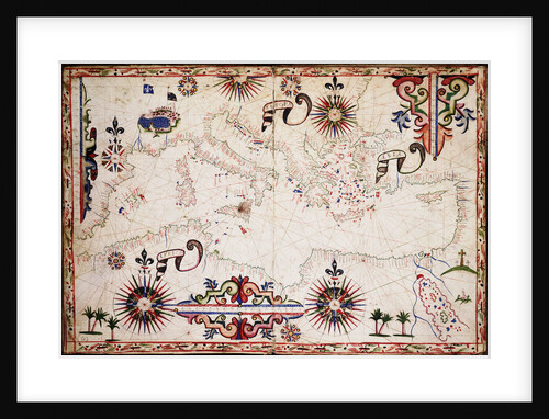
Chart of Mediterranean, Black and Caspian Seas
unknown
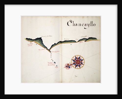
Chancayllo
William Hack
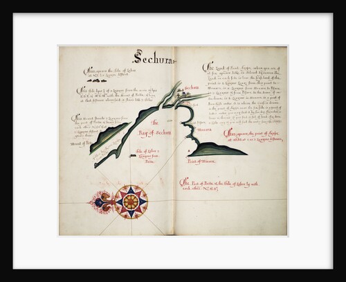
Sechura
William Hack
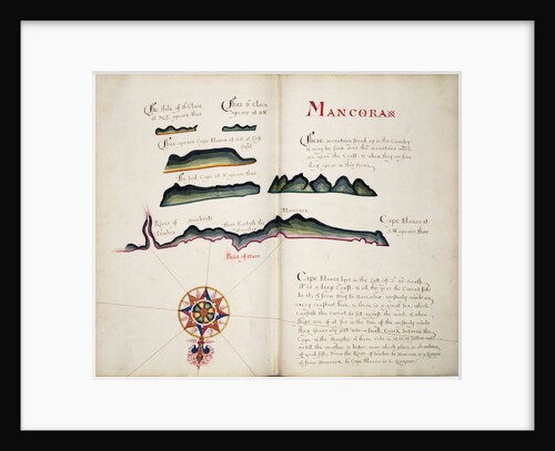
Mancora
William Hack
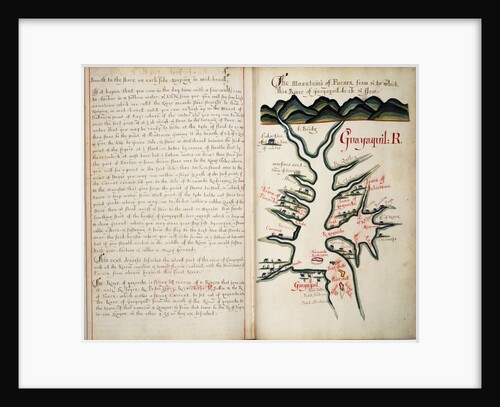
Guayaquil R
William Hack
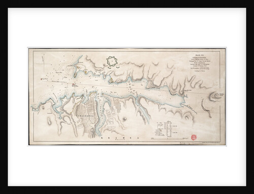
Black Sea Sebastopol from a Russian Survey of 1836
John Arrowsmith
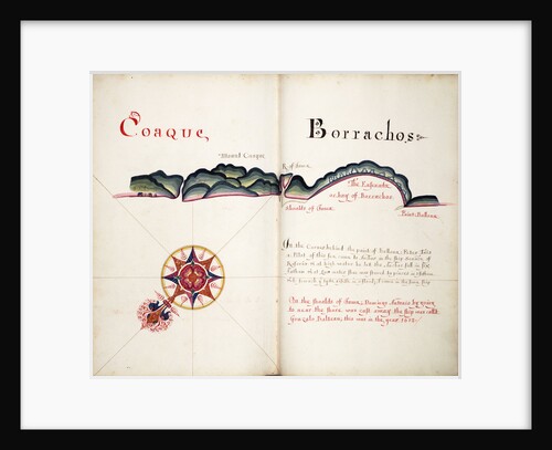
Coaque and Borrachos
William Hack
A description of the Plantations in the Valley of Paneca
William Hack
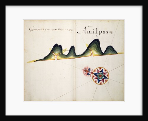
Amilpas
William Hack
Mosquitos and Angadico
William Hack
The Caribbean
Angelo de Conte Freducci
Caribbean and coasts of America
Joan Martines
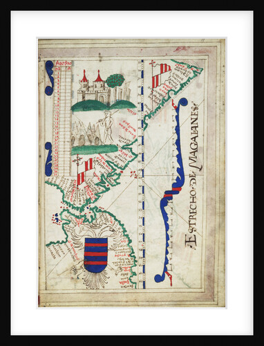
Chart of Estrecho de Magalhanes (Magellan Strait)
unknown
Valdivia
Basil Ringrose
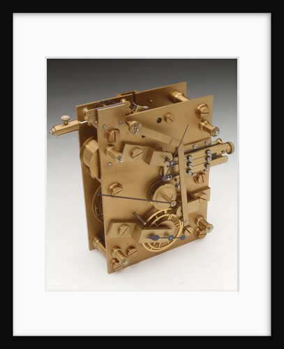
Astronomical regulator, movement front
Victor Kullberg
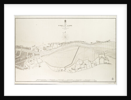
Ireland south coast, the port of Cork surveyed by Commander James Wolfe & Lieutenant W.H.Church R.N.,1843
Commander James Wolfe
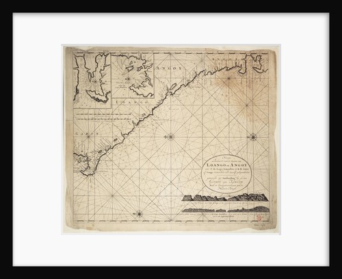
Chart of Gulf of Guinea, Africa
Gerard van Keulen
Map of Chile compiled by Jesuits, 1646
Society of Jesus
A chart of the islands in the China Sea near the Straits of Malacca with the positions of the English...
William Daniell
Chart of Milford Haven in St Georges and Bristol Channel
Paul Ive
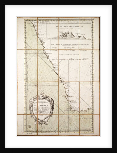
Map of the southwest of Africa, 18th century
Departement de la Marine
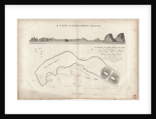
A chart of Lord Howe Island, 1788
J. Stockdale
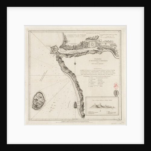
Padang - the chief settlement of the Dutch Company on the west coast of Sumatra
Alexander Dalrymple
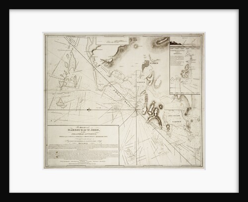
The road and harbour of St. John in the Island of Antigua
EH Columbine
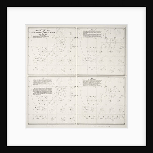
Wind chart of the south and east coast of Africa
Board of Trade
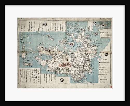
Kyushu
Bunkindo of Nagasaki
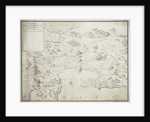
Map of Portoferraio on Elba
Anonymous
Byron's voyage around Cape Horn 1764-1766; obverse
unknown
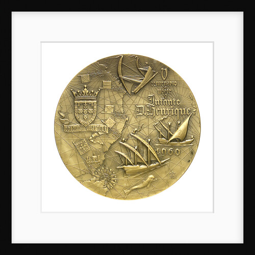
Medal commemorating the 5th centenary of the death of Henry the Navigator, 1960; reverse
J. da Silva
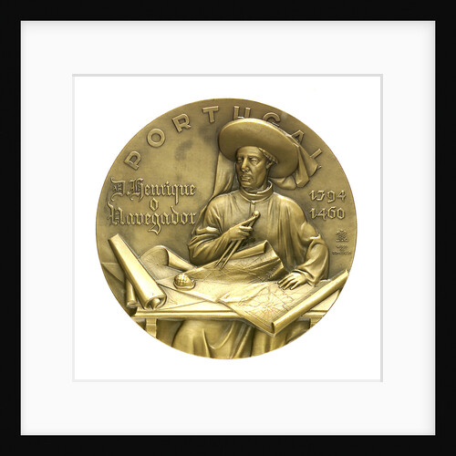
Medal commemorating the 5th centenary of the death of Henry the Navigator, 1960; obverse
J. da Silva
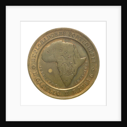
Medal commemorating H. Capello and R. Iveus, Portuguese Explorers; obverse
unknown
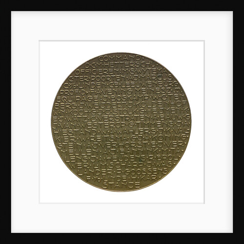
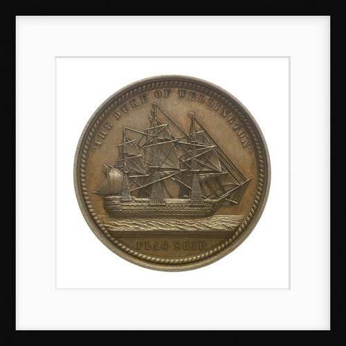
Medal commemorating the voyage of the submarine 'K. XVIII'; reverse
M. Kutterink
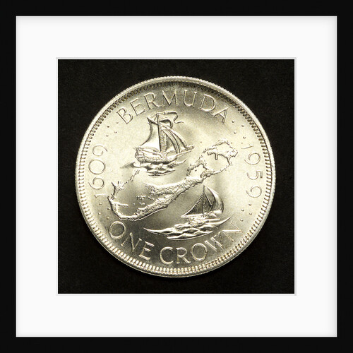
Crown; reverse
unknown
Medal commemorating Admiral Sir Charles Napier (1786-1860); reverse
Allen & Moore
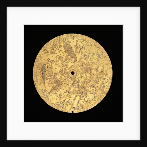
Astrolabe: mater
Muhammad Mahdi al-Yazdi
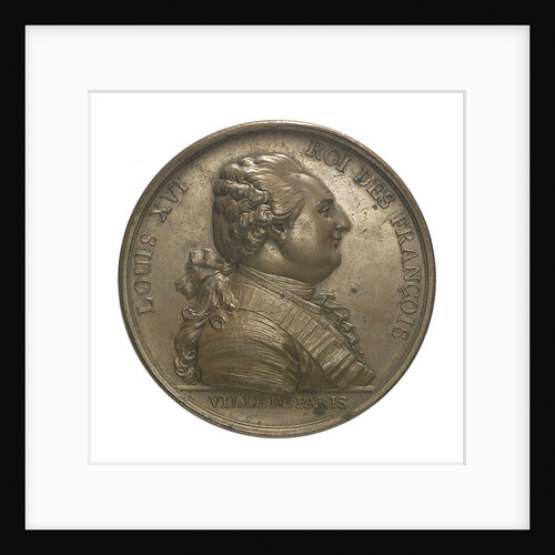
Medal commemorating Louis XVI and the City of Paris; obverse
P.S.B. Duvivier
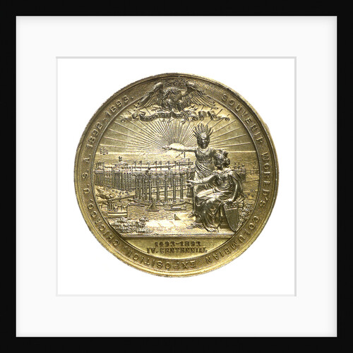
Medal commemorating the Columbian Exposition, 1892; reverse
M. Mayer
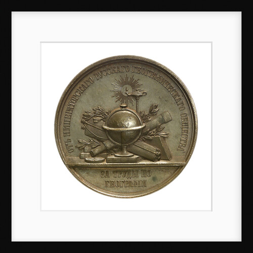
Medal commemorating Admiral Count Lutke; reverse
B.V. Alexejeff
« Previous
1
…
9
10
11
12
13
…
20
Next »
Recently viewed
Clear history