Skip to main content
10% off your first order
☰ Menu
Basket icon
Wishlist icon
Account icon
Search icon
Search icon
Inspiration
Collections
Astrophotography
Battles and wars at sea
Children's
Exploration
Graphic designs
Greenwich
Historic figures
Historic vessels
Maps and charts
Photography
Pirates
Seascapes
Time and space
Natural history
World travel
Ship plans
Gift cards
Contact
Contact us
Newsletter
Search art & photography
Search icon
Home
Collections
Maps and charts
Maps and charts
page 14
Showing 625 to 672 of 917
Featured
A-Z
Z-A
Oldest to newest
Newest to oldest
Bestselling
Products
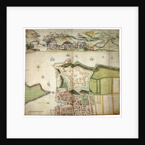
Plymouth
Bernard de Gomme
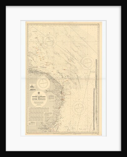
England-East Coast. Outer Gabbard to Outer Dowsing
British Admiralty
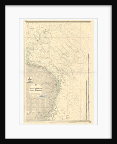
England-East Coast. Outer Gabbard to Outer Dowsing
British Admiralty
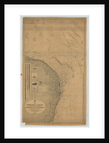
England East coast Orfordness to Blakeney with the off lying shoals between Smith's Knoll and the Outer Dowsing
British Admiralty
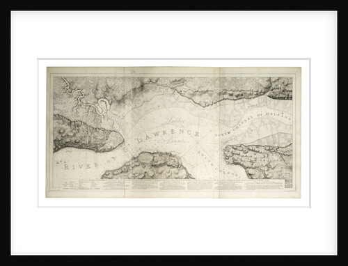
A plan of Quebec and environs with its defences
J. F. W. Des Barres
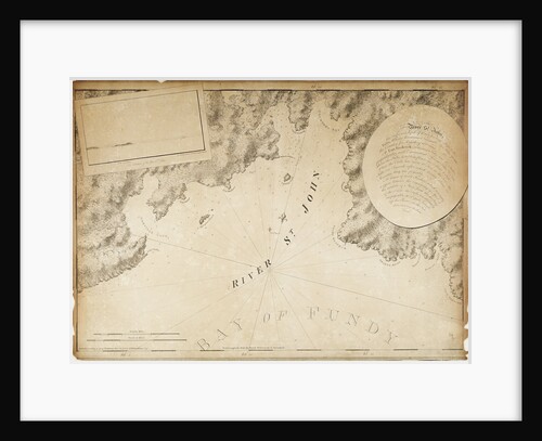
The River St. John
J. F. W. Des Barres
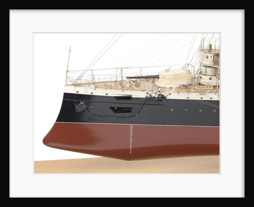
HMS 'Leviathan' (1901)
John Brown & Co. Ltd
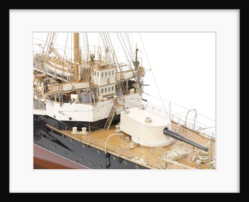
HMS 'Leviathan' (1901)
John Brown & Co. Ltd
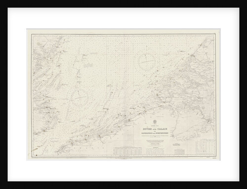
Chart of area from Dover and Calais to Orfordness
unknown
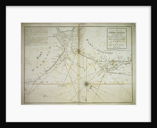
A correct chart of the east coast, from Hasbrough or Haisbrough Sand to Kingston upon Hull
John Diston
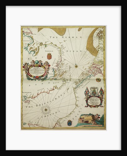
A new mappe of the sea coasts of England, France and Holland, wherein the English names, situation, point of the...
John Seller
Chart of southern United States showing Mississippi river and Saint Louis
unknown
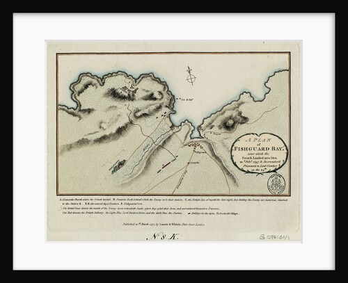
A plan of Fishguard Bay near which the French landed 1200 men 22nd February 1797 and surrendered prisoners to Lord...
Laurie & Whittle
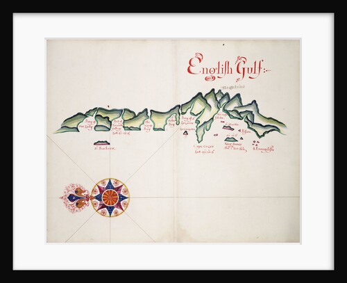
English Gulf, South American Pacific Coast
William Hack
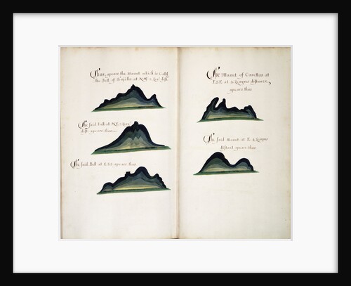
Coronadoes, South American Pacific coast
William Hack
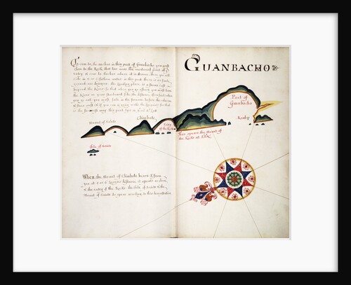
Guanbacho
William Hack
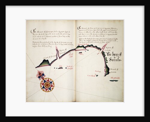
The Bay of Saints
William Hack
Views of Trujillo and Carettas
William Hack
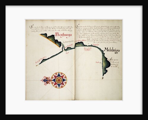
Pacasmayo and Malabrigo
William Hack
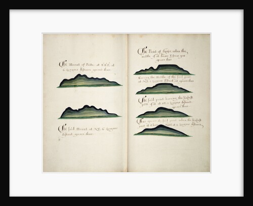
Views of Silla de Paita and Punta Aguja
William Hack
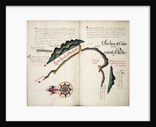
The Bay of Colan & Port of Paita
William Hack
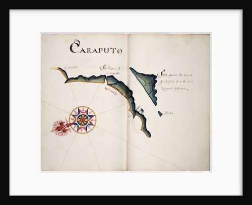
Caraputo
William Hack
Bahia San Mateo
William Hack
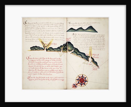
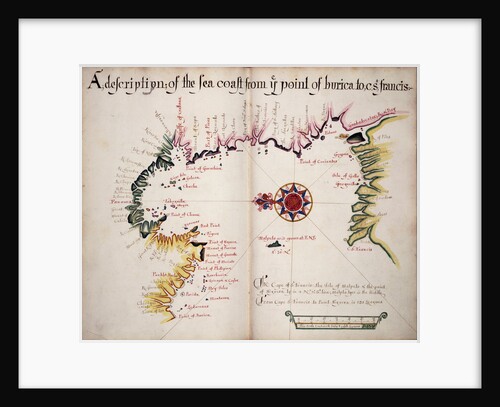
A description of the Sea Coast from Ye Point of Burica to C St. Francis
William Hack
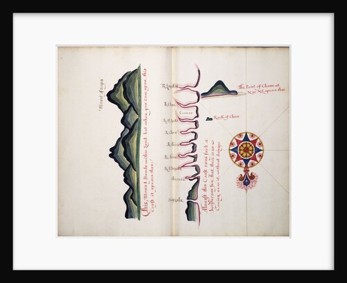
Mount of Sapo, Punta Chame and La Chorrera
William Hack
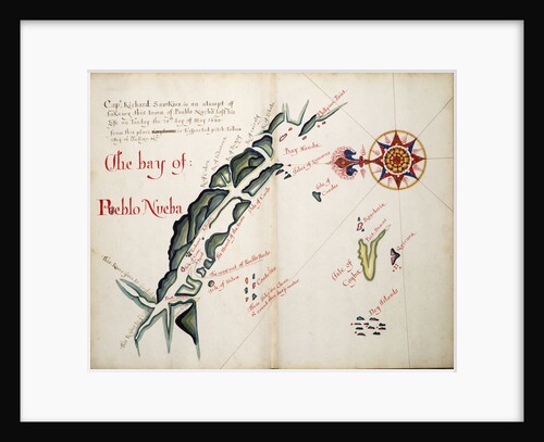
The Bay of Pueblo Nueba
William Hack
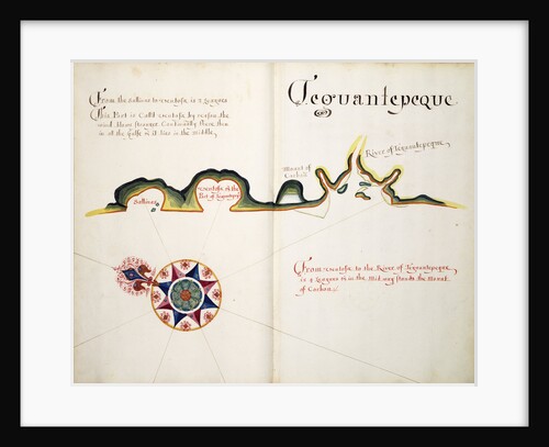
Teguantepeque
William Hack
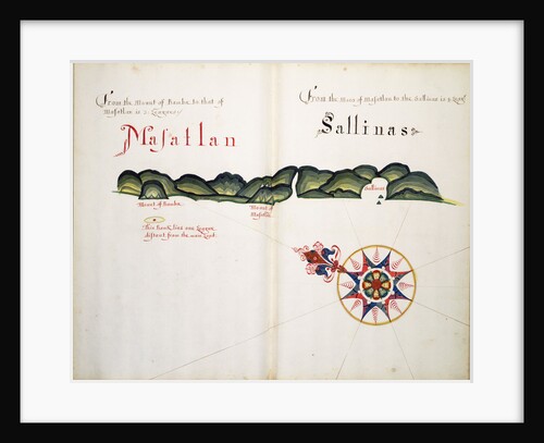
Masatlan and Sallinas
William Hack
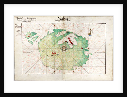
Map of Malta
Battista Agnese
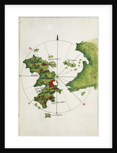
Khios and adjacent mainland
Bartolommeo dalli Sonetti
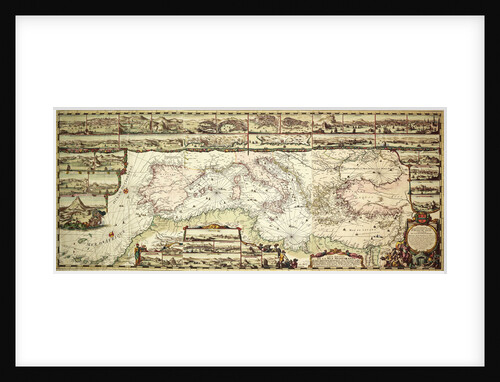
Chart of the Mediterranean, 1694
Romain de Hooge
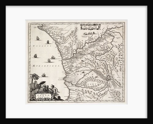
Chart of Congo and Angola, Africa
John Ogilby
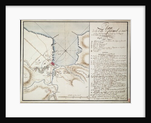
Vicinity of Jacmel, used to indicate lines and positions occupied during the blockade and the batteries established in order to...
Sorrel
Celestial table globe
unknown
Chart of Brazil: Rio de Janeiro to River Amazon
unknown
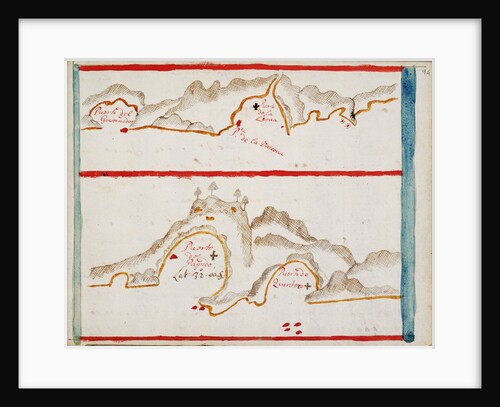
Bahia de la Ligua and Papudo
Basil Ringrose
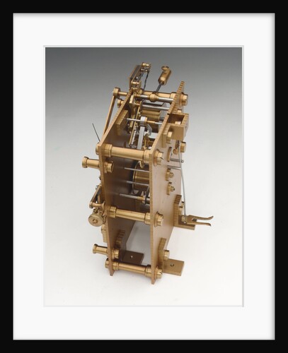
Astronomical regulator, movement back
Victor Kullberg
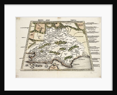
Conical projection of India
Ptolemy
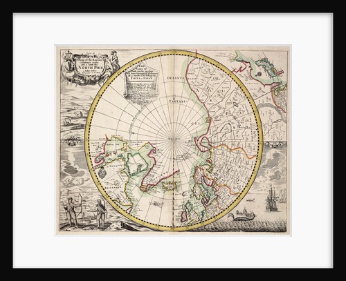
Polar projection map with Arctic Circle
John Seller
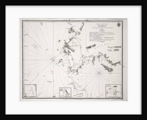
Chart of the Promontory of Boodroom with the Karabaghla Islands and the North Point of the Island of Kos ......
Francis Beaufort
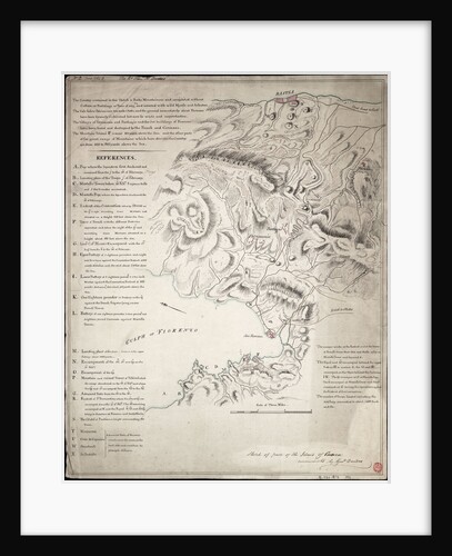
Sketch of part of the Island of Corsica
H. Dundas
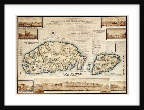
French chart of Malta, circa 1798
unknown
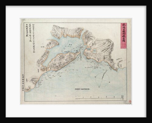
Chart of Port Arthur
Anonymous
Chart of the Suez Canal, 1870-1871
Hydrographic Office
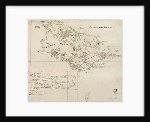
Falkland's Islands
Anonymous
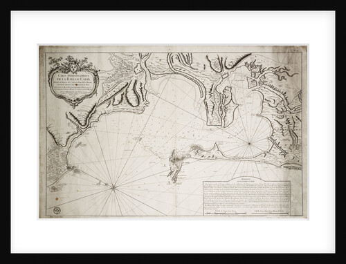
Hydrographic chart of the Bay of Cadiz
Jacques Nicolas Bellin
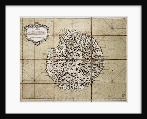
Map of the Isle of Bourbon prepared at the depository of maps and seacharts
Jacques Nicolas Bellin
The island of Chiloe
William Hack
« Previous
1
…
12
13
14
15
16
…
20
Next »
Recently viewed
Clear history