Skip to main content
10% off your first order
☰ Menu
Basket icon
Wishlist icon
Account icon
Search icon
Search icon
Inspiration
Collections
Astrophotography
Battles and wars at sea
Children's
Exploration
Graphic designs
Greenwich
Historic figures
Historic vessels
Maps and charts
Photography
Pirates
Seascapes
Time and space
Natural history
World travel
Ship plans
Gift cards
Contact
Contact us
Newsletter
Search art & photography
Search icon
Home
Collections
Maps and charts
Maps and charts
page 2
Showing 49 to 96 of 917
Featured
A-Z
Z-A
Oldest to newest
Newest to oldest
Bestselling
Products
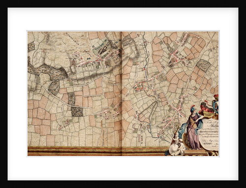
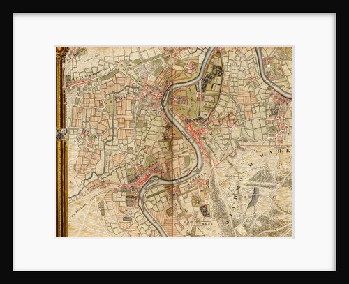
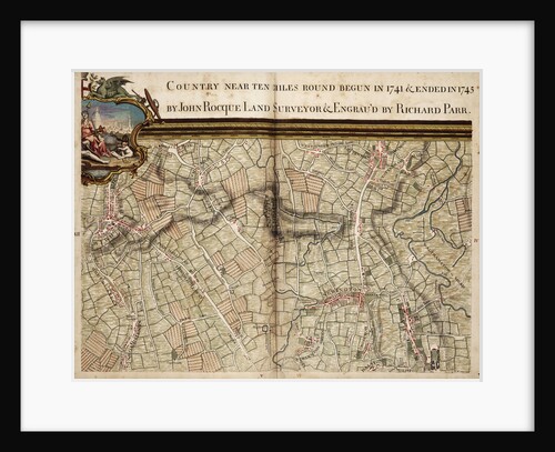
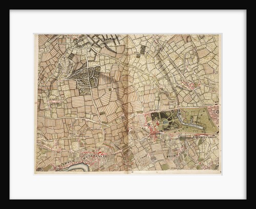
Map of Acton, Paddington, Hyde Park and Kensington
John Rocque
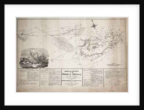
Map and chart of the Island of Alderney and the Caskets
James Wyld
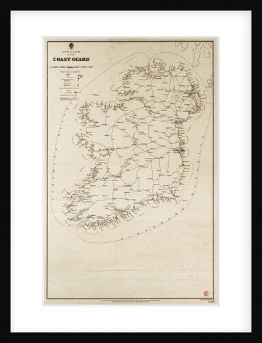
Ireland Coast Guard
Davies & Company
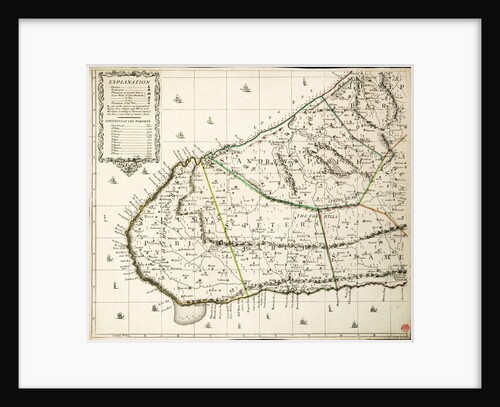
East part of Ulster
unknown
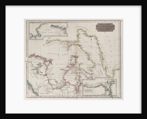
Chart showing discoveries of Ross, Parry and Franklin in the Arctic during 1818-1827
Thomson
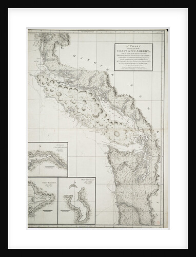
A chart showing part of the coast of north-west America
George Vancouver
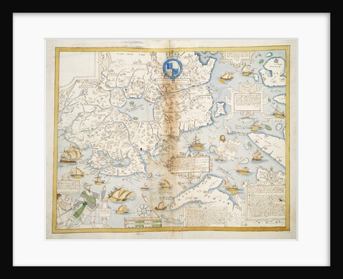
'Furuye, Hirado' [Japan]
James Henry Butt
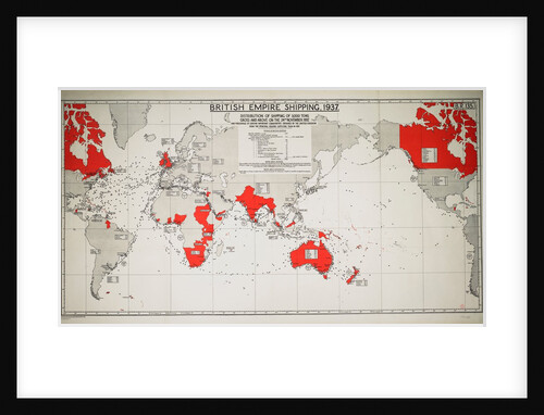
British Empire Shipping 1937
Unknown
Planisphaerium terrestre sive terrarum orbis
Carel Allard
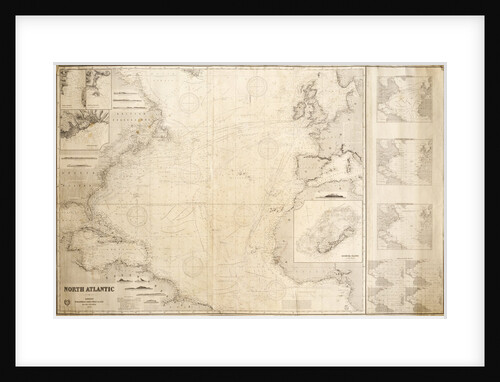
Chart of the North Atlantic Ocean
James Imray & Son; James Imray
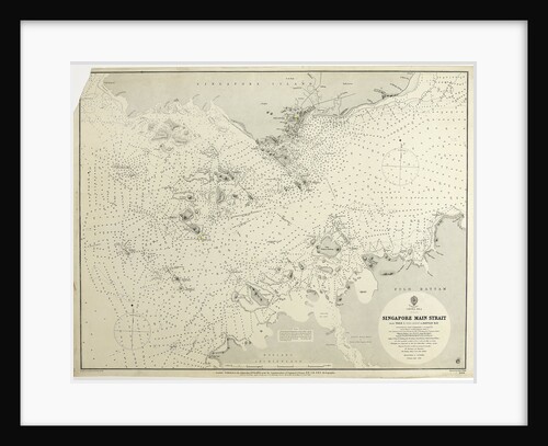
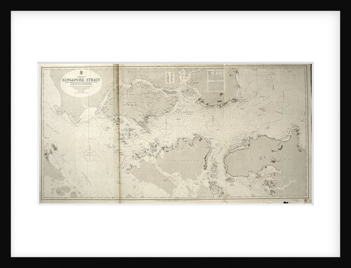
China Sea Singapore Main Strait From Tree I. (Pulo Angup) to Battam Bay Surveyed by Staff Commander J.W. Reed, R.N....
HMAdmiralty; Edward Weller; Staff Commander John William Reed
A new & exact map of the island of Barbados in America according to survey made in the years 1717...
William Mayo
Map of Willesden and Hampstead
John Rocque
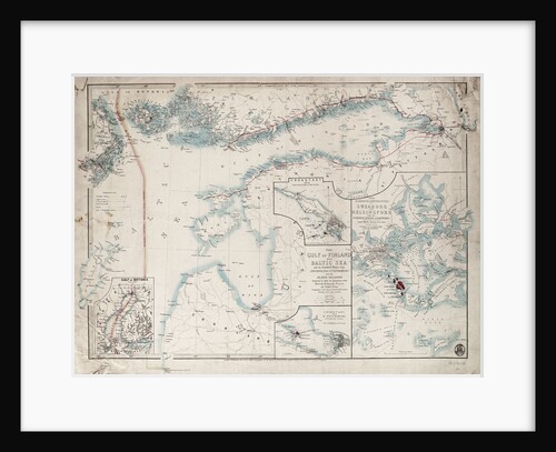
Chart of Gulf of Finland and Baltic
James Wyld
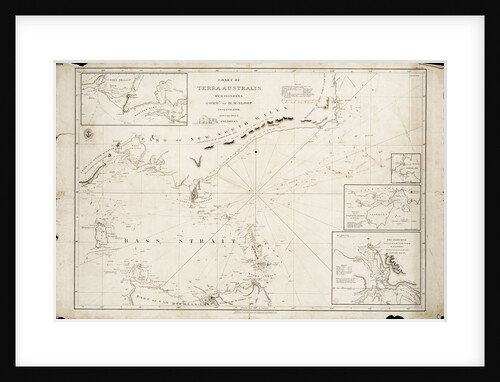
Chart of Bass Strait by Matthew Flinders, 1798
Matthew Flinders
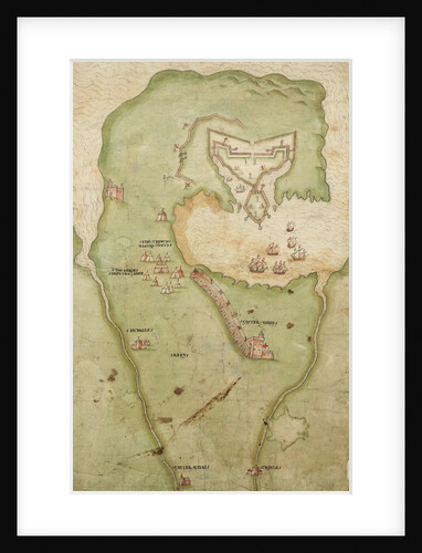
Map of Smerwick, Ireland, showing the English earthwork with two guns for attacking the Spanish fort and English soldiers marching...
unknown
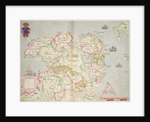
Map of the north of Ireland
unknown
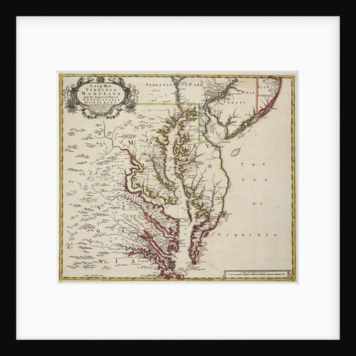
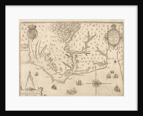
Map of Virginia
John Senex
Chart of Kos and Bodrum
Cristoforo Buondelmonti
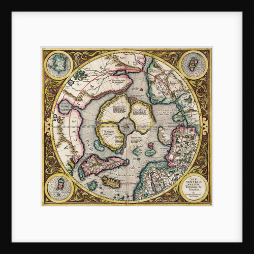
Polar projection 'Septentrionalium terrarum' by Mercator
Gerard Mercator
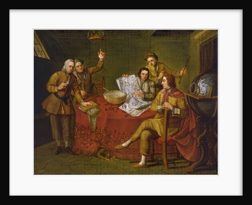
Gustavus Hamilton, 2nd Viscount Boyne (1639-1723), in the cabin of his yacht
Bartolommeo Nazari
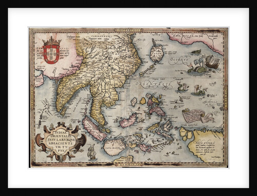
Map of the East Indies by Ortelius
Abraham Ortelius
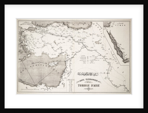
Map of Turkey showing telegraph cables and stations
Anonymous
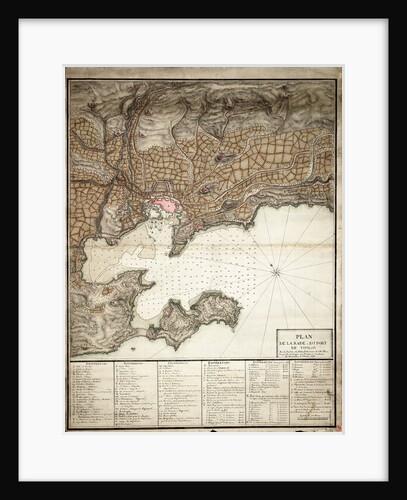
Plan of Toulon
Anonymous
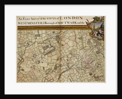
Chart of the River Thames and Estuary, 1790
Richard Stanier
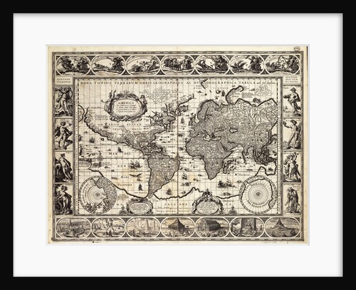
World map from the Blaeu Atlas, 17th century
John Blaeu
World map after Ptolemy, 1513
unknown
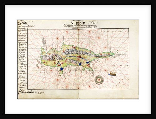
Vellum chart of Cyprus, 1554
Battista Agnese
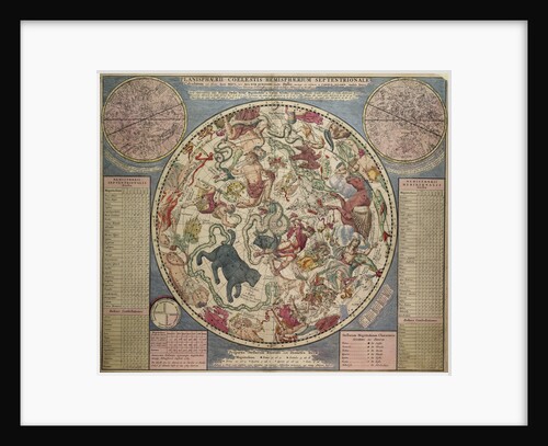
Planesphaerii Coelestis Hemisphaerium Septentrionale
Carel Allard
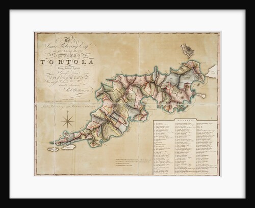
Plan of Tortola from survey by George King
George King
Mercator map of the world, 1606
W.J. Blaeu
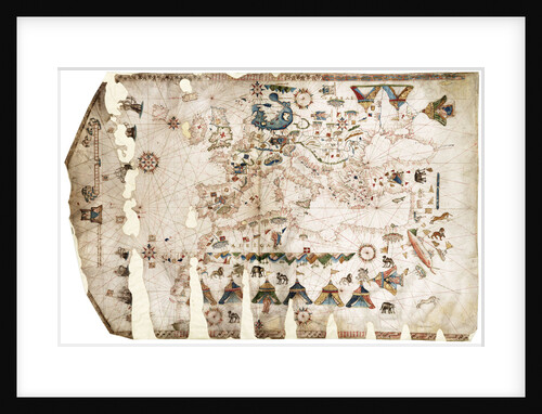
Mediterranean, Black Sea and the North East Atlantic
Vesconte Maggiolo
Map of Wimbledon and Tooting
John Rocque
Map of Virginia
unknown
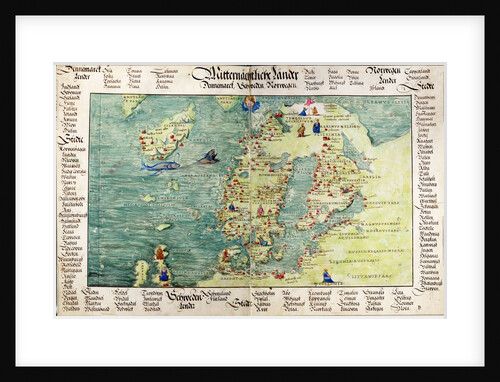
Map of Scandinavia, 1554
Battista Agnese
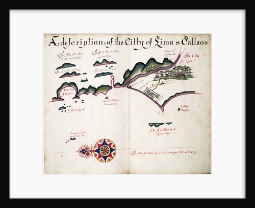
Map of Lima and Callao
William Hack
Map of Hounslow, Twickenham and Richmond
John Rocque
Map of Highgate, Kentish Town, Holloway, Tottenham and Newington
John Rocque
Map of England, Ireland and Scotland
Ptolemy
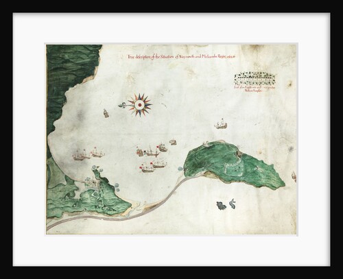
Chart 'A true description of the situation of Weymouth and Melcombe Regis', 1626
William Simpson
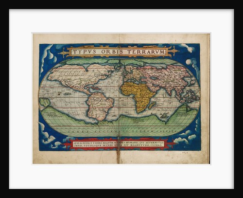
Typus Orbis Terrarum (Image of the globe of the world)
Unknown
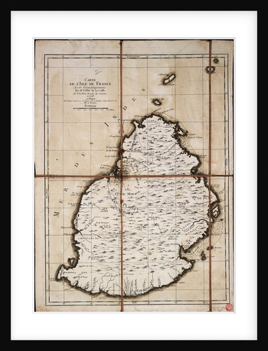
Carte de l'Isle de France levee geometriquement par Mr. l'Abbe de la Caille, de l'Academie Royale des Sciences, en 1753
Ll'Abbe de la Caille; Lattre
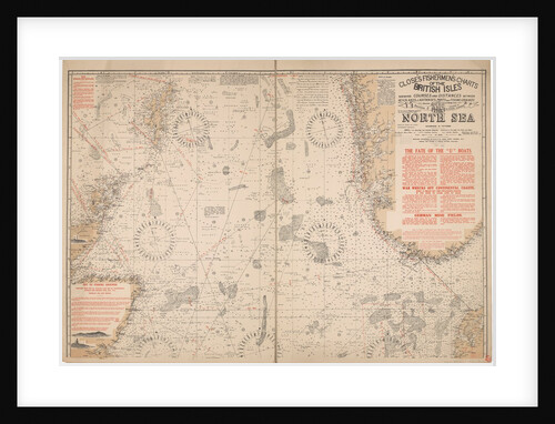
Close's fisherman charts of the British Isle section 2: The North Sea
Albert Close
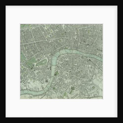
Chart of London City and the river Thames
Unknown
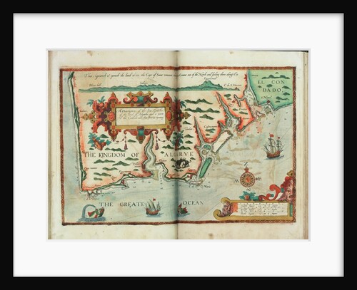
A description of the sea coastes, of the land of Algarbe, and a parte of the Condado with their shew...
Lucas Janz Waghenaer
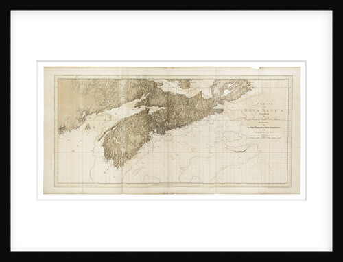
A chart of Nova Scotia
Joseph Frederick Wallet Des Barres
China Sea SINGAPORE STRAIT By Staff Commander JW Reed Navg Lieuts TH Tizard... Assisted by the Officers of HMS Rifleman...
HM Admiralty; Davies Bryer & Company; Staff Commander John William Reed; Captain Thomas Henry Tizard
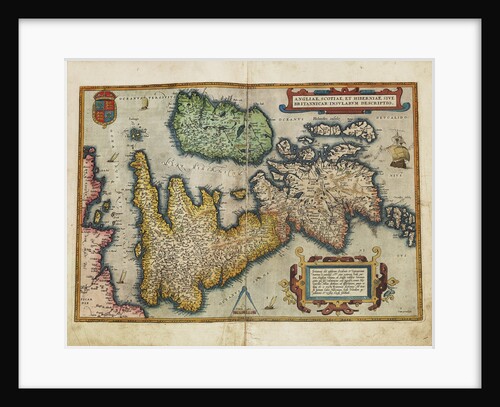
Angliae, Scotiae, et Hiberniae, sive Britannicar: Insularum descriptio (England, Scotland and Ireland, otherwise known as the British Isles)
Abraham Ortelius
« Previous
1
2
3
4
…
20
Next »
Recently viewed
Clear history
!['Furuye, Hirado' [Japan] by James Henry Butt](https://previews.magnoliabox.com/nmm/flat/pt2074/MUS-CFPM-18X24_black_500.jpg)