Skip to main content
10% off your first order
☰ Menu
Basket icon
Wishlist icon
Account icon
Search icon
Search icon
Inspiration
Collections
Astrophotography
Battles and wars at sea
Children's
Exploration
Graphic designs
Greenwich
Historic figures
Historic vessels
Maps and charts
Photography
Pirates
Seascapes
Time and space
Natural history
World travel
Ship plans
Gift cards
Contact
Contact us
Newsletter
Search art & photography
Search icon
Home
Collections
Maps and charts
Maps and charts
page 3
Showing 97 to 144 of 917
Featured
A-Z
Z-A
Oldest to newest
Newest to oldest
Bestselling
Products
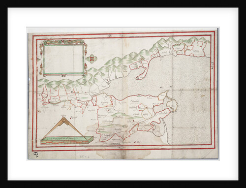
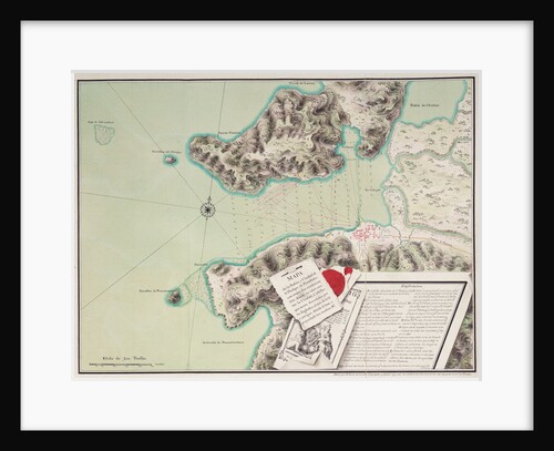
Tralee Bay, Ireland
Unknown
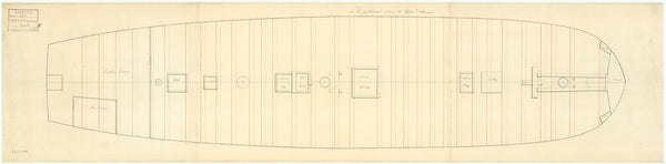
Plan showing the upper deck for Egyptienne (captured 1801)
unknown
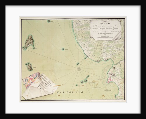
Map of Panama
Luis de Surville
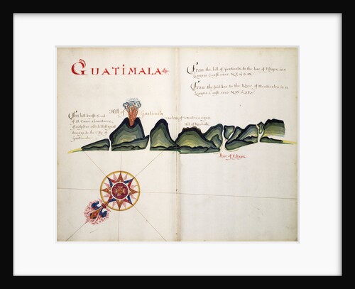
Guatimala
William Hack
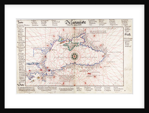
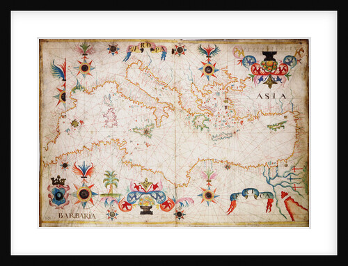
Chart of Black Sea
Johan B. Agnese
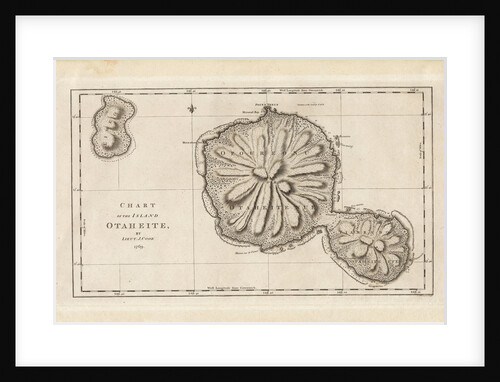
Chart of the Island Otaheite (Tahiti) by James Cook, 1769
James Cook
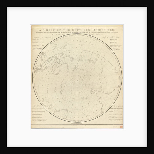
Chart of the southern hemisphere, post Cook
Georg Forster
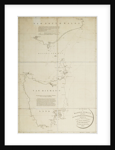
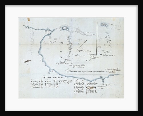
A chart of Basses Straight between New South Wales and Van Diemans Land surveyed by Lieut. Flinders of HMS 'Reliance',...
Matthew Flinders
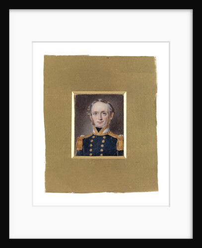
Lieutenant Henry Laird Cox (1809-1872)
William Egley
Map of the bay and city of S. Phelipe de Portobelo
Luis de Surville
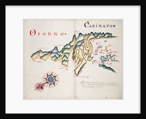
Osorno and Carimapo, South American Pacific coast
William Hack
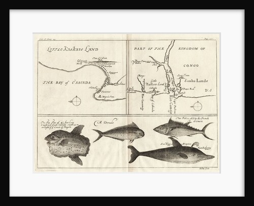
Chart of Gulf of Guinea, Africa
Gerard van Keulen
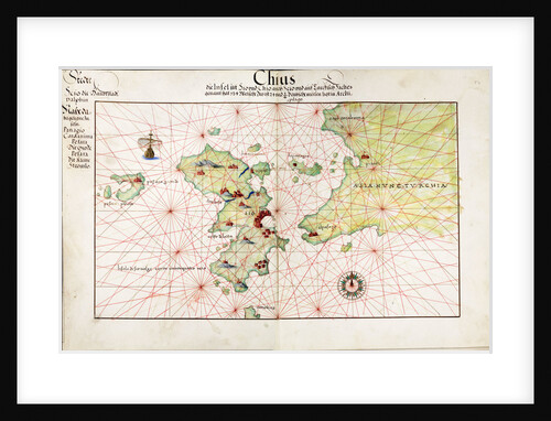
Chart of Chius (Chios, Greece), 1554
Battista Agnese
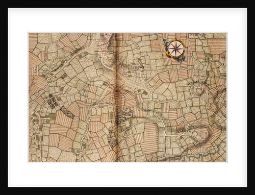
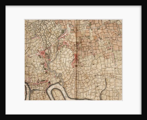
Map of Northolt, Harrow and Wembley
John Rocque
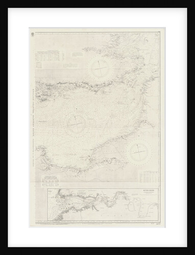
English Channel: Eastern Sheet
unknown
A new and correct chart of the sea coast, from Orfordness Lights to Prittlewell
John Diston
The battle off the Isle of Wight on 4 August, 1588
Robert Adams
Chart of the Guinea coast, Manicongo and Angola as far as the Cape of Good Hope
A.F. van Langren
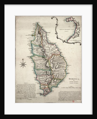
Colour map of Dominica with detailed geographical observations
Thomas Jeffereys
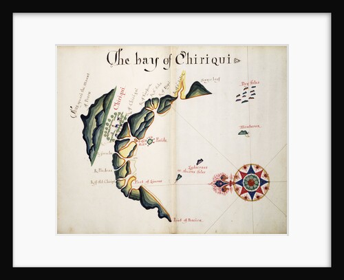
The Bay of Chiriqui
William Hack
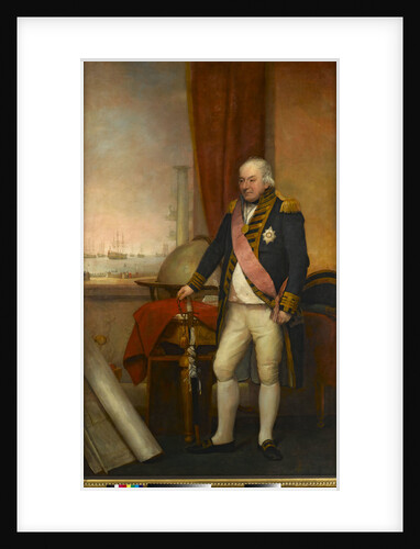
Rear-Admiral Sir John Jervis, 1st Earl of St Vincent (1735-1823)
Domenico Pellegrini
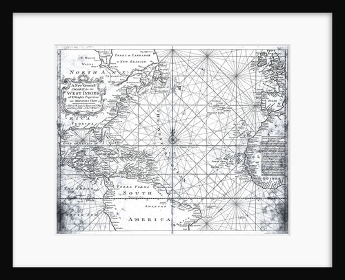
Map of the North Atlantic by Mount and Page
Mount
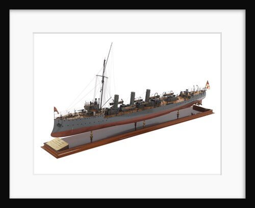
HMS 'Forward' (1904); HMS 'Foresight' (1904)
Fairfield Shipbuilding & Engineering Co. Ltd
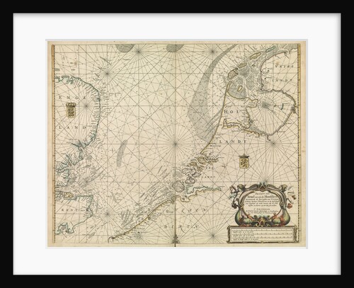
Chart of the North Sea and Dutch coast, 1661
Mount & Page
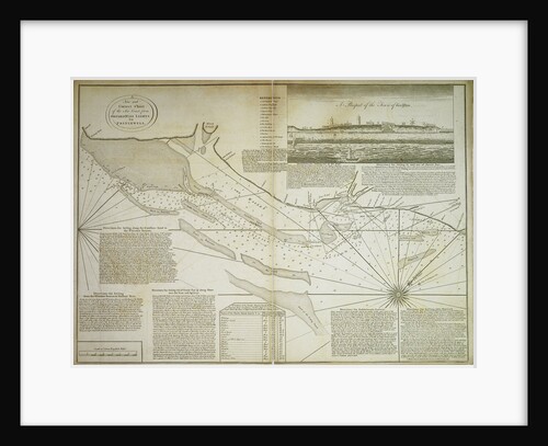
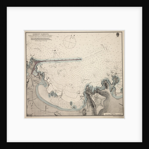
Alderney Harbour, plan of breakwater and Admiralty property
British Admiralty Hydrographic Office
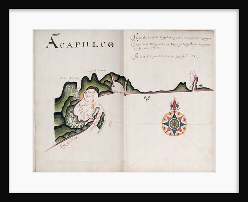
Acapulco
William Hack
The Battle of the Nile, 1 August 1798. Chart of Aboukir Bay and of the action
Nicholas Pocock
The Spanish and English fleets near Plymouth on 30 - 31 July, 1588
Robert Adams
Chart of Cephalonia
Cristoforo Buondelmonti
Portulan chart of western Mediterranean
unknown
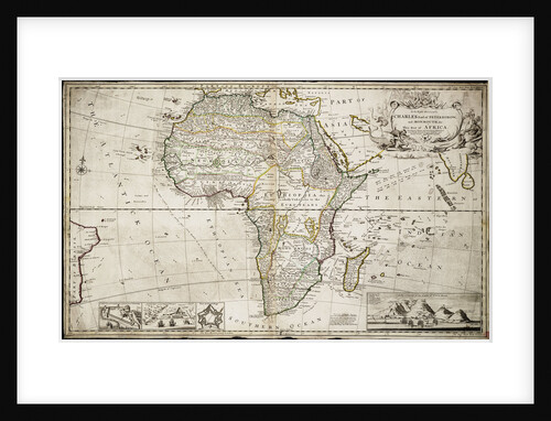
Map of Africa
Herman Moll
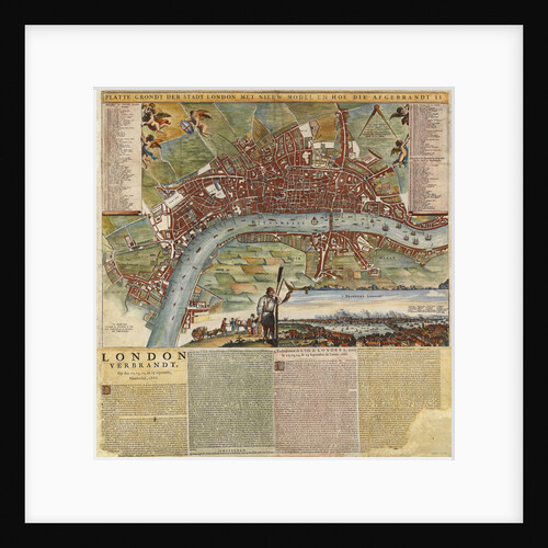
A Dutch map showing areas devastated by the Great Fire of London, 1666
unknown
The English pursue the Spanish fleet east of Plymouth on 31 July - 1 August, 1588
Robert Adams
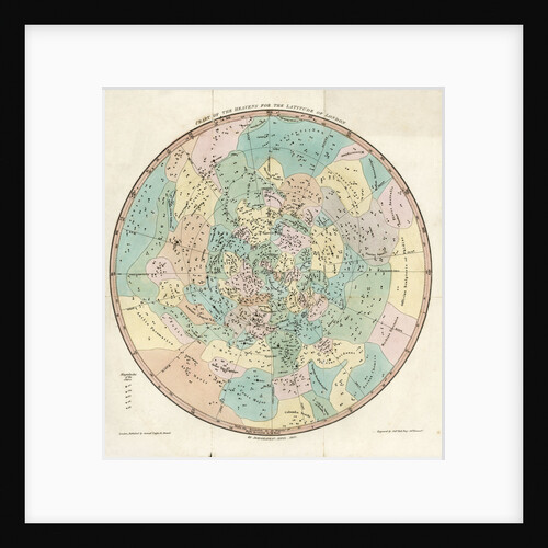
Constellation card, Urania's mirror, Chart of the Heavens for the Latitude of London
Sidney Hall
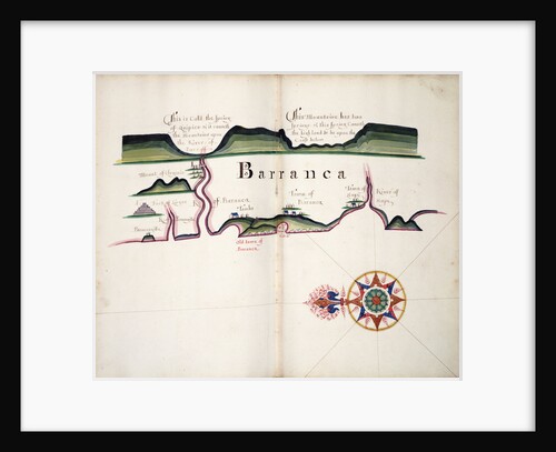
Barranca
William Hack
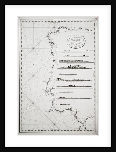
Chart of the coasts of Spain and Portugal, from Cape Pinas to the Strait of Gibraltar, constructed and carefully drawn...
P Steel
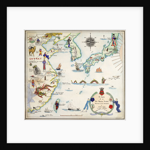
Humorous map of the South China Sea and Yellow Sea, 1932
unknown
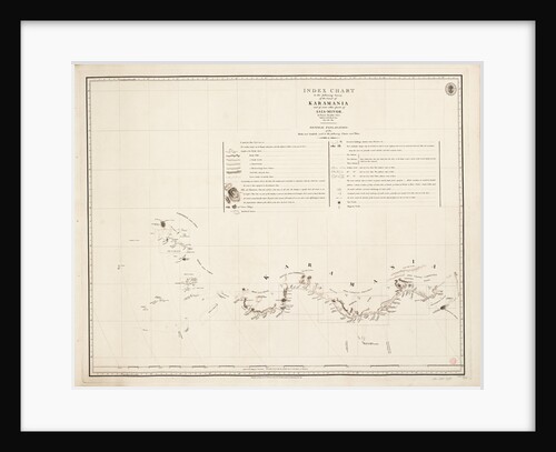
Index chart to the following survey of the coast of Karamania
Francis Beaufort
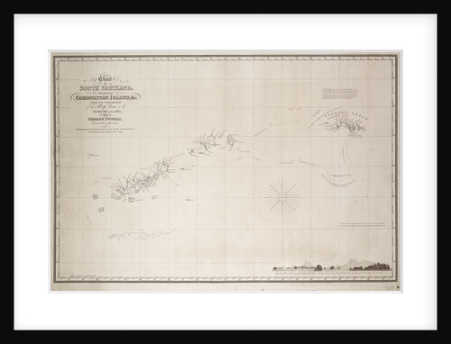
Chart of South Shetland including Coronation Island, from the exploration of the sloop Dove in the years 1821 and 1822...
George Powell
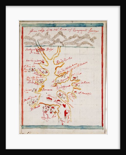
Rio Guayas
Basil Ringrose
Slavery/Freedom
Robert Seymour
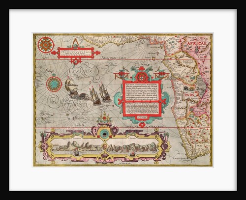
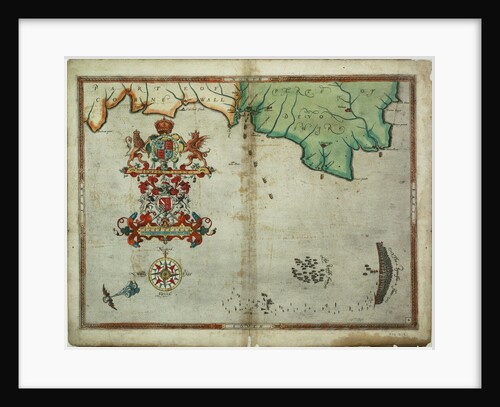
Early 17th century map of the world, after Mercator, with inset portraits of explorers (Drake, Magellan, Thomas Cavendish and Oliver...
unknown
Map of Bow, Stratford, Blackwall and Plaistow
John Rocque
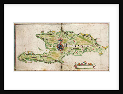
Map of Hispaniola, 1653
Nicholas Comberford
World map from Ptolemy's Cosmographia of 1492
Ptolemy
The fireship attack on the Spanish Armada, 7 August 1588
Robert Adams
The English and Spanish fleets on 1 - 2 August, 1588
Robert Adams
The English and Spanish fleets between Portland Bill and the Isle of Wight on 2 - 3 August 1588
Robert Adams
« Previous
1
2
3
4
5
…
20
Next »
Recently viewed
Clear history