Skip to main content
10% off your first order
☰ Menu
Basket icon
Wishlist icon
Account icon
Search icon
Search icon
Inspiration
Collections
Astrophotography
Battles and wars at sea
Children's
Exploration
Graphic designs
Greenwich
Historic figures
Historic vessels
Maps and charts
Photography
Pirates
Seascapes
Time and space
Natural history
World travel
Ship plans
Gift cards
Contact
Contact us
Newsletter
Search art & photography
Search icon
Home
Collections
Maps and charts
Maps and charts
page 4
Showing 145 to 192 of 917
Featured
A-Z
Z-A
Oldest to newest
Newest to oldest
Bestselling
Products
The battle off the Isle of Wight on 4 August, 1588
Robert Adams
The Battle off Gravelines, 8 August 1588
Robert Adams
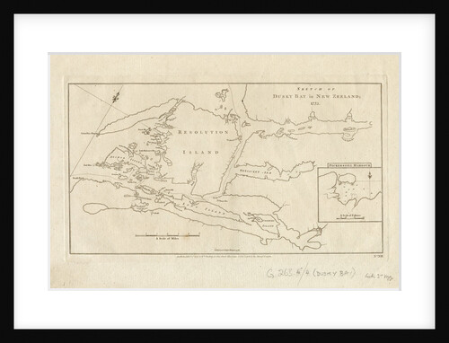
Sketch of Dusky Bay, New Zealand, 1773
James Cook
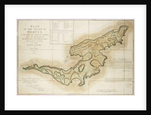
Plan of the Island of Bequia laid down by actual survey under the direction of the Honorable the Commissioners for...
John Byres
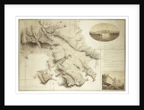
Plan of the environs of English Harbour, Antigua
John Brown
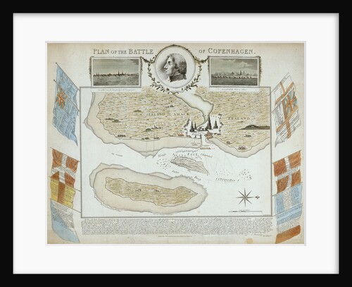
Plan of the Battle of Copenhagen
John Brydon
Part of south coast of Newfoundland including Fortune Bay
James Cook
Navigation through the Straits of Sunda to Batavia
William Heather
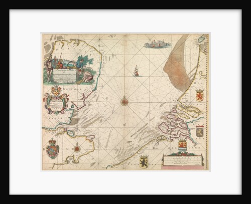
Mecklenburg Bay
J.F.W. Des Barres
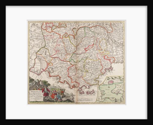
Map of the Provence, France
Johann Baptist Homann
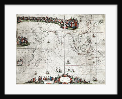
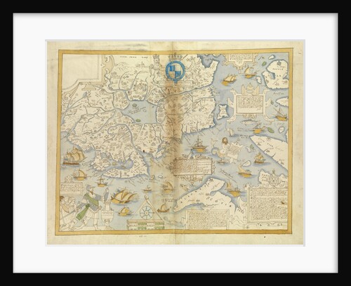
Map of the East Indies
Pieter Goos
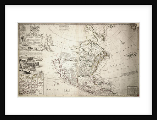
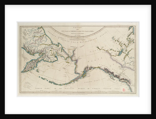
Map of North America
Herman Moll
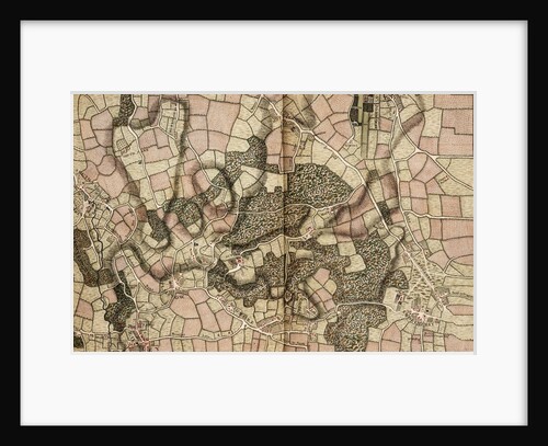
Map of Mottingham, Bromley and Chislehurst
John Rocque
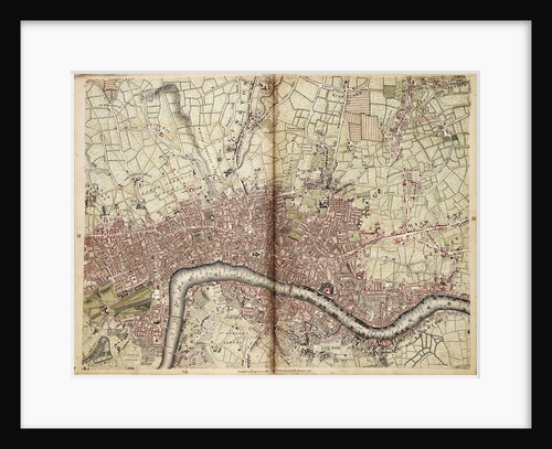
Map of Islington, Westminster, City and Southwark
John Rocque
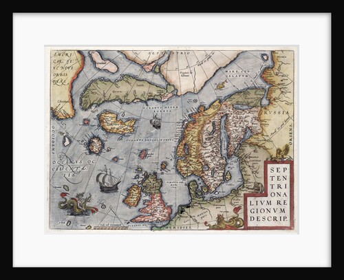
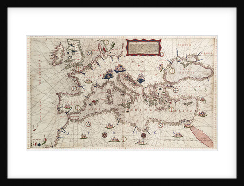
Map of Europe by Ortelius, 16th century
Abraham Ortelius
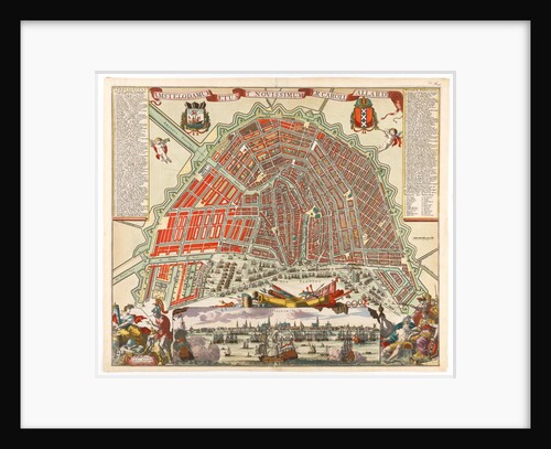
Map of Amsterdam with inset view
Carel Allardt
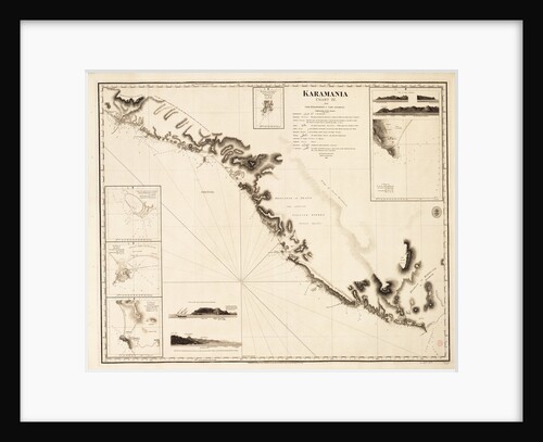
Karamania Chart III from Cape Karaboornoo to Cape Anamour
Francis Beaufort
Isles of Scilly
Simon Bayly
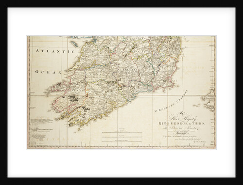
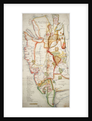
Ireland south of Limerick
unknown
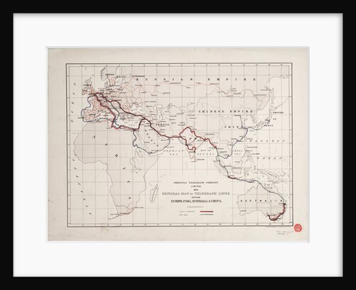
General map of telegraph lines between Europe, India, Australia, and China
Oriental Telegraph Company Ltd
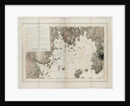
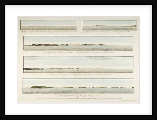
Five views in the Bay of Fundy
J. F. W. Des Barres
East part of Ulster
unknown
Draught of the Island Rattan in the bay of Honduras in latitude 16 degrees 22' north by Lieutenant Henry Barnsley...
Henry Barnsley
Cook's Third Voyage 1778-1779
William Faden
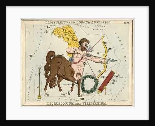
Constellation card, Urania's mirror, Sagittarius and Corona Australis
Sidney Hall
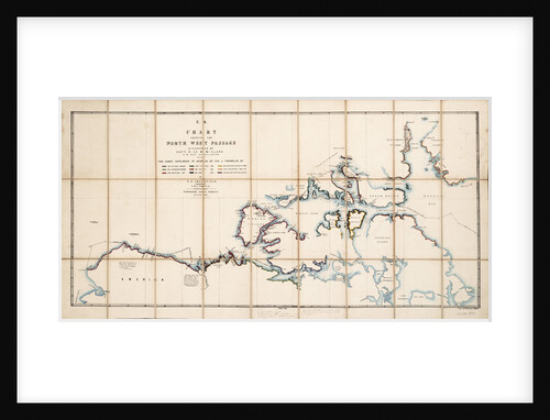
Chart showing the North West Passage discovered by Captain R. Le M. McClure, HMS 'Investigator'
E.A. Inglefield
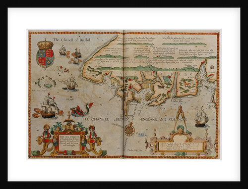
Chart showing the Bristol and English Channel
Lucas Jansz Waghenaer
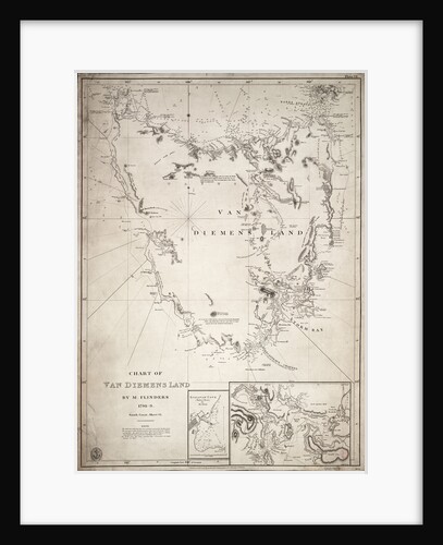
Chart of Van Diemens Land, sheet VI
Matthew Flinders
Chart of the River Thames from London to the Nore, Margate and the Downs, North, Middle and South Channels, from...
Richard Stanier
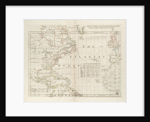
Chart of the Atlantic Ocean, with the British, French & Spanish settlements in North America and the West Indies
Thomas Jefferys
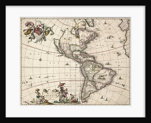
Chart of the Americas
Nikolaus Visscher
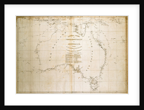
Chart of Terra Australis (Australia)
unknown
Chart of Romney Marsh
Elhanan Tucker
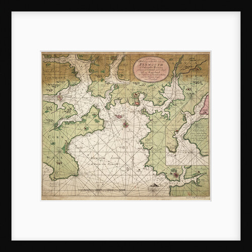
Chart of Plymouth Sound, from Greenville Collins's 1693 chart of the English Channel
Gerard van Keulen
Chart of Mediterranean, Black and Caspian Seas, 16th century
Paulo Forlani
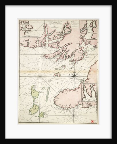
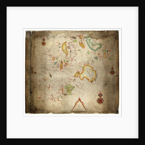
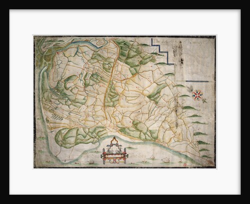
Caxaoma [and] Rapell
William Hack
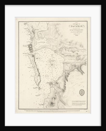
Bay of Navarino
William Henry Smyth
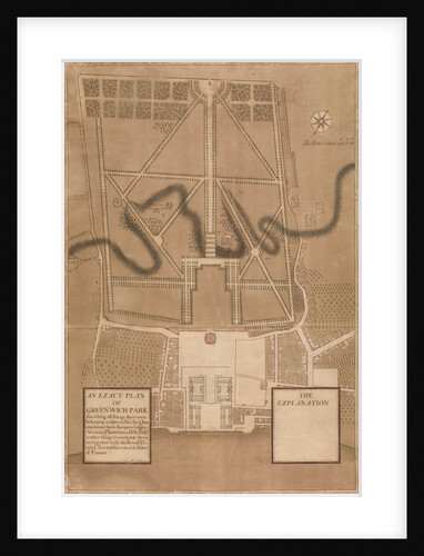
An Exact Plan of Greenwich Park
Henry Wise
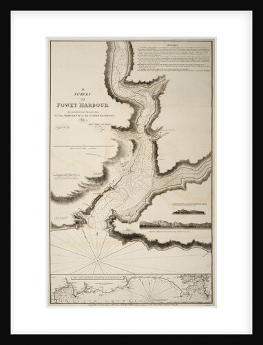
A survey of Fowey Harbour
Joshua Thomas Austen
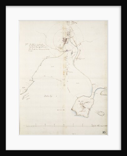
A ruff draght of Dublin Bay
Thomas Phillips
A plan of the operations of the King's army under the command of General Sr William Howe KB in New...
Claude Joseph Sauthier
A new map of Ireland civil and ecclesiastical, 1797
Daniel A. Beaufort
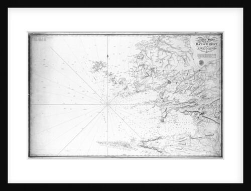
A nautical survey of the Bay of Brest and the Ushant Islands by Captain Hurd RN, 1807
Hurd
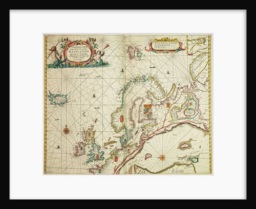
A general chart of the northern navigation
John Seller
A general chart exhibiting the discoveries made by Captain James Cook in this and his two preceding voyages with the...
Lieutenant Henry Roberts
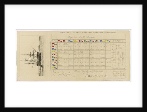
A chart showing signals used by Lord Nelson at the Battle of Trafalgar, 21 October 1805
Edward William Cooke
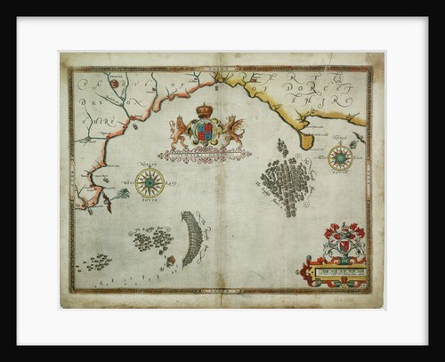
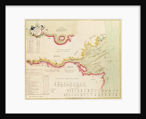
A chart of the sea coasts of England, Flanders and Holland
John Seller
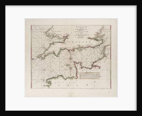
A chart of the Channel between England and France, 1702
Mount & Page
« Previous
1
2
3
4
5
6
…
20
Next »
Recently viewed
Clear history


![Caxaoma [and] Rapell by William Hack](https://previews.magnoliabox.com/nmm/flat/f1931/MUS-CFPM-16X20_black_500.jpg)