Skip to main content
10% off your first order
☰ Menu
Basket icon
Wishlist icon
Account icon
Search icon
Search icon
Inspiration
Collections
Astrophotography
Battles and wars at sea
Children's
Exploration
Graphic designs
Greenwich
Historic figures
Historic vessels
Maps and charts
Photography
Pirates
Seascapes
Time and space
Natural history
World travel
Ship plans
Gift cards
Contact
Contact us
Newsletter
Search art & photography
Search icon
Home
Collections
Maps and charts
Maps and charts
page 9
Showing 385 to 432 of 917
Featured
A-Z
Z-A
Oldest to newest
Newest to oldest
Bestselling
Products
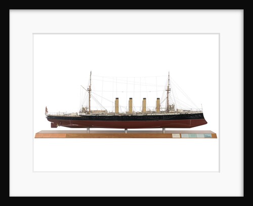
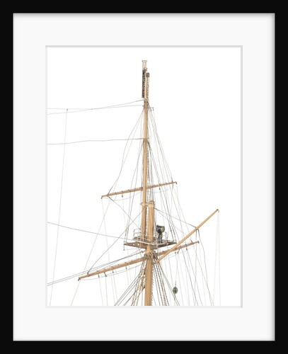
HMS 'Leviathan' (1901)
John Brown & Co. Ltd
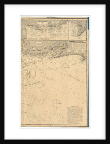
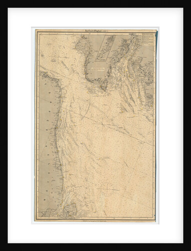
England East Coast. Sheet 3
James Imray & Son
England East Coast. Sheet 1
James Imray & Son
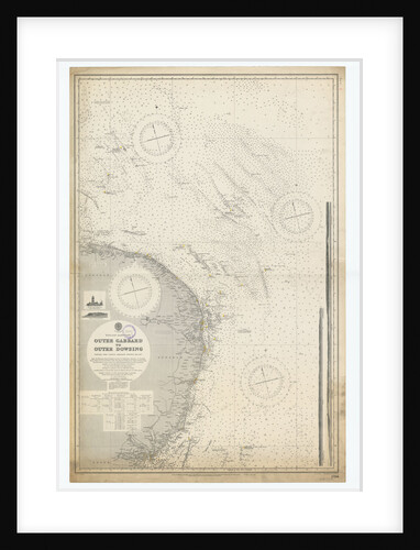
England-East Coast. Outer Gabbard to Outer Dowsing
British Admiralty
England East Coast
British Admiralty
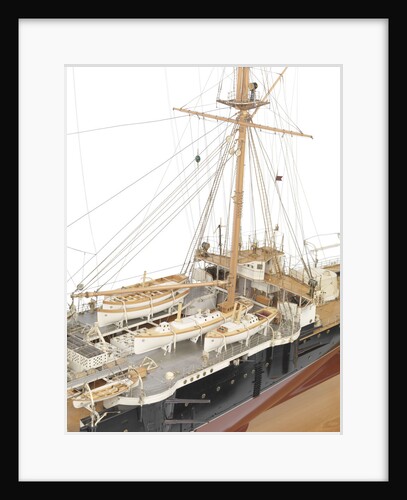
HMS 'Leviathan' (1901)
John Brown & Co. Ltd
HMS 'Leviathan' (1901)
John Brown & Co. Ltd
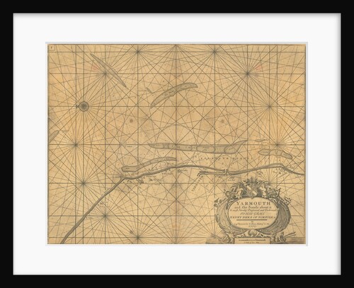
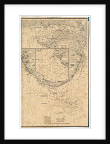
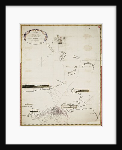
Chart of Yarmouth and the sands about it
Greenville
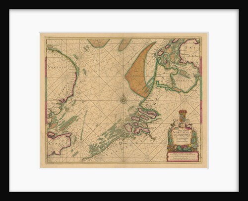
A chart of the North Sea from South Foreland to Burnham Flatts, and from Callis to Schelling Isle
Mount & Page
England East Coast: Benacre Ness to Landguard Point
unknown
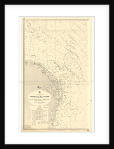
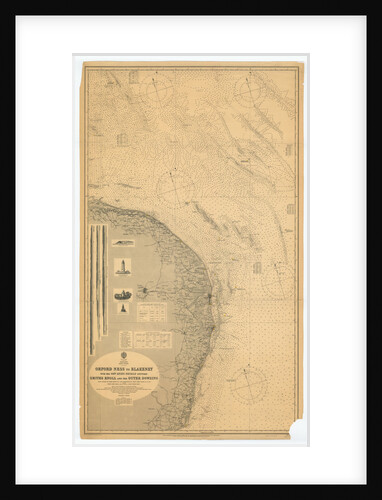
Orford Ness to Blakeney with the off lying shoals between Smiths Knoll and the other Dowsing
British Admiralty
England East Coast. Sheet 2
James Imray & Son
Chart of River Medway and part of the Thames: no.24 Sheerness
unknown
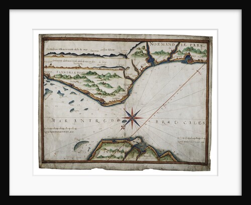
Chart of Dover Strait
Luis Teixeira
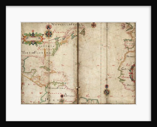
Atlantic 5 degrees South to 56 degrees North
Andrew Welch
Map of Chile, Patagonia, Tierra del Fuego and the Falkland Islands
Juan de Langara
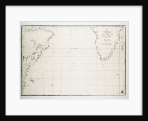
Chart of the Atlantic Ocean south of the Equator, 1785
Deposito Hidrografico
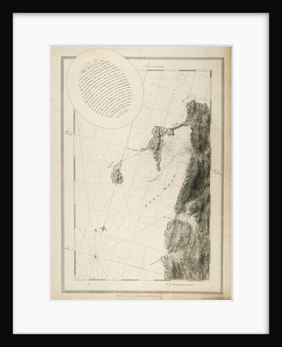
Chart of Port Hood, 1776
Joseph Frederick Wallet Des Barres
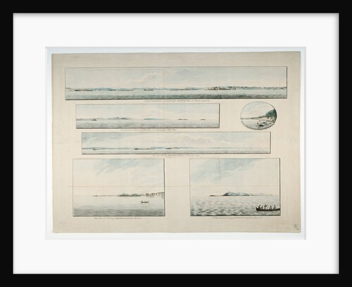
Six views of Cape Breton Island, etc
Joseph Frederick Wallet Des Barres
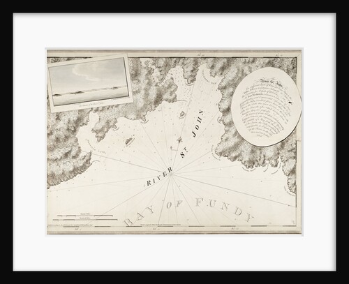
The River St. John
J. F. W. Des Barres
A chart of Brazil bound in Jacob Colom's 'Atlas of werelts-water-deel en des selfs zee-custen'
Arnold Colom
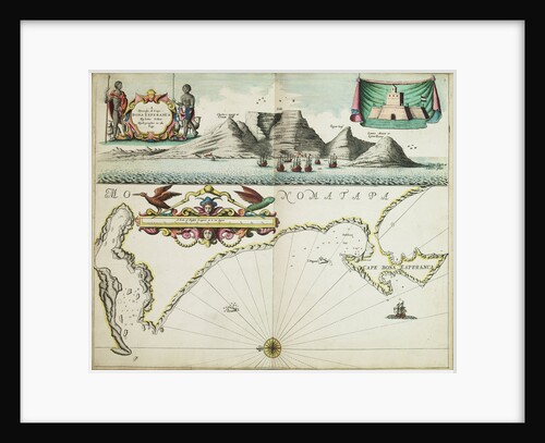
A chart of Guinea describing the sea coast from Cape de Verde to Cape Bona Esperanca
John Seller
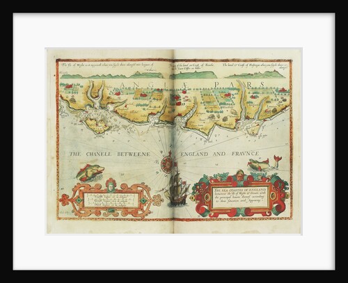
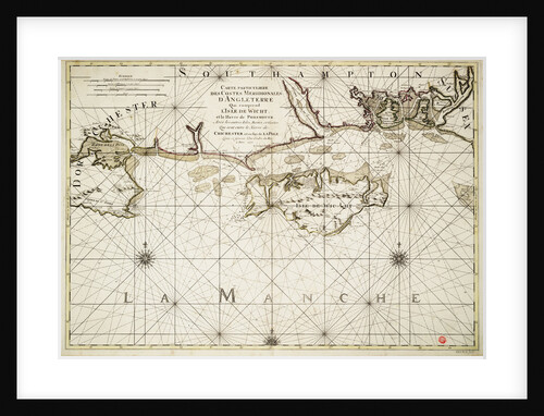
The sea coastes of England between the Isle of Wight and Dover, with the principal havens thereof according to their...
Lucas Janz Waghenaer
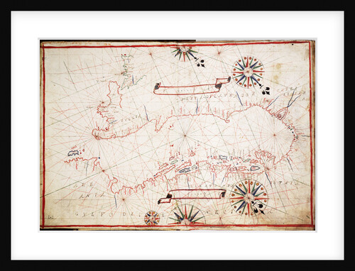
Adriatic chart, circa 1620
unknown
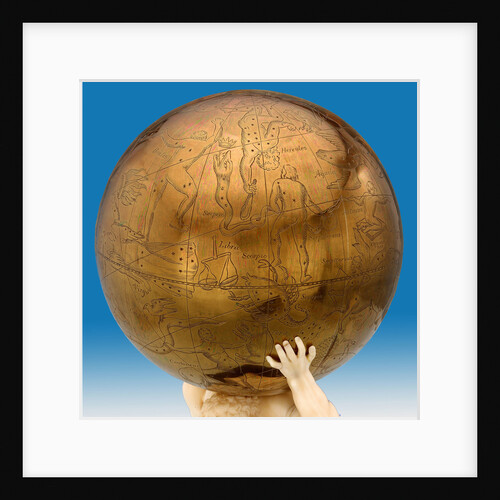
Celestial table globe
unknown
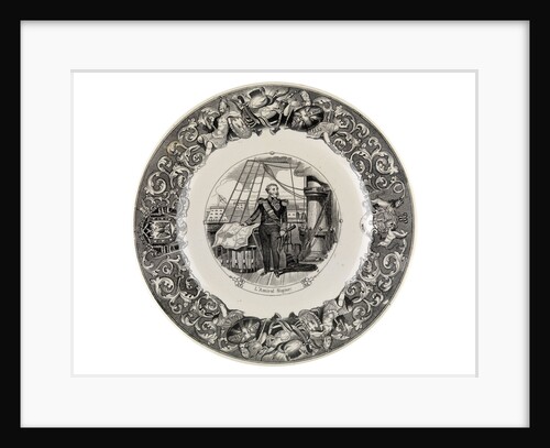
Black transfer-printed plate of the Crimean War period
Utzchneider and Co
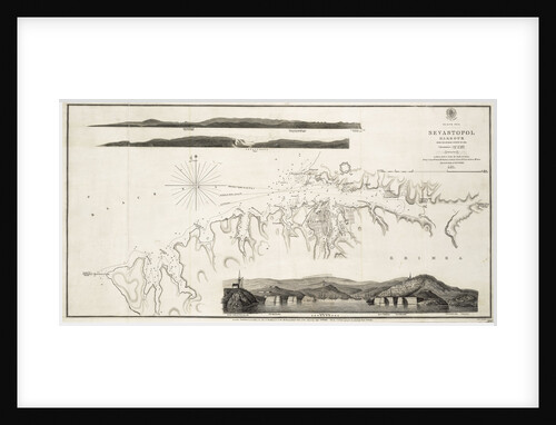
Black Sea Sevastopol Harbour from the Russian Survey of 1836
unknown
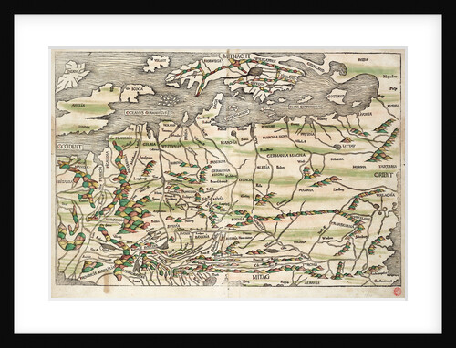
Map of central and northern Europe, 1493
Hieronymus Munzer
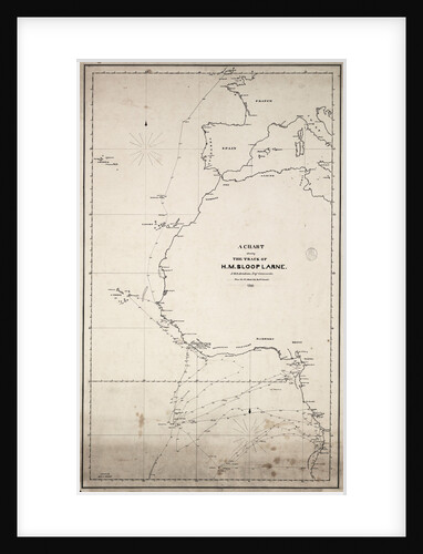
A chart showing the track of HM sloop 'Larne', J.W.D.Brisbane, Esq. Commander, from the 1 January 1846 to 27 June...
J.W.D. Brisbane
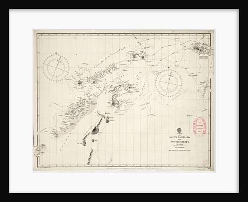
Map of South Shetland and South Orkney Islands
Admiralty Hydrographic Office
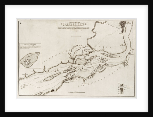
The course of Delaware River from Philadelphia to Chester, North America
Wiiliam Faden
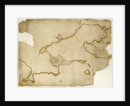
Louisburg fortress and harbour, Cape Breton
unknown
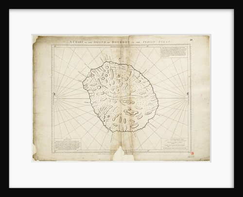
A chart of the Island of Bourbon in the Indian Ocean
William Gilbert
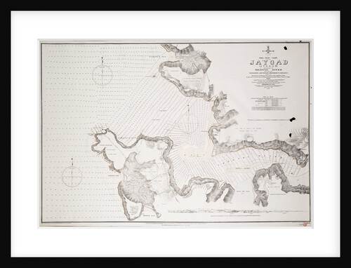
Jaygad (Jyghur) and entrance to Shatri River...
Frederick W. Jarrad
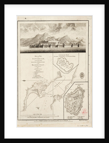
Plan and view of Gingerah
A. Werner
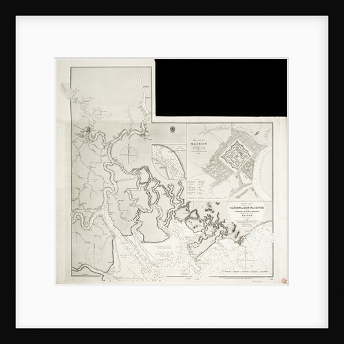
Map of Indochina
Great Britain. Admiralty. Hydrographic Office
A chart containing the traverse of HMS 'Goliath' on the Jamaica Station 1802
I Engledue
Chart of the English coast, Isle of Wight and Portsmouth harbour
Alexis Hubert Jaillot
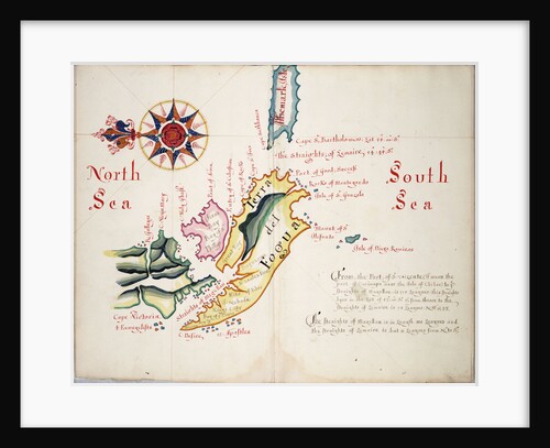
Straits of Magellan and Le Maire, South American Pacific coast
William Hack
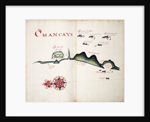
Chancay
William Hack
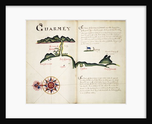
Guarmey
William Hack
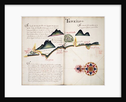
Truxilo
William Hack
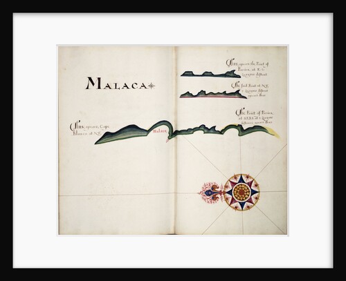
Malaca
William Hack
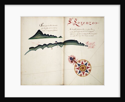
St Lorenzo
William Hack
Anagadas
William Hack
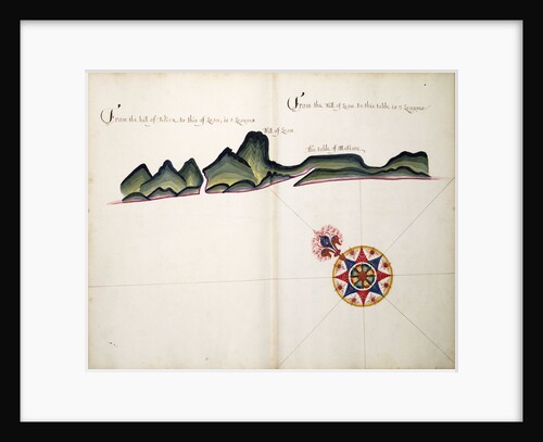
Hill of Leon
William Hack
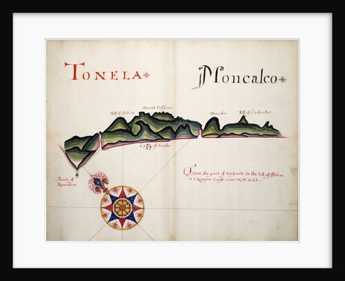
Tonela and Moncalco
William Hack
Guatulco
William Hack
« Previous
1
…
7
8
9
10
11
…
20
Next »
Recently viewed
Clear history